Bramley Wood Reservoirs

Lake, Pool, Pond, Freshwater Marsh in Derbyshire Derbyshire Dales

England

Bramley Wood Reservoirs

Woodland behind the Eyre Arms This woodland on this hill behind the Eyre Arms is just to the south-west of the centre of SK27.
Woodland behind the Eyre Arms Credit: Roger Temple

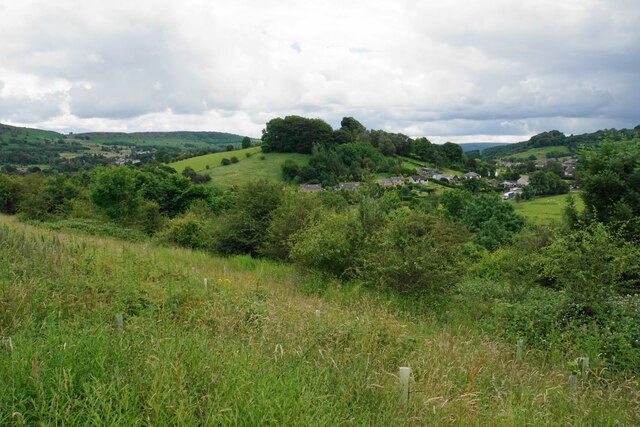
Bramley Wood Reservoirs are a series of man-made freshwater bodies located in Derbyshire, England. Comprising of a lake, pool, pond, and freshwater marsh, they form an interconnected system that serves several important purposes.

The main feature of the reservoirs is the lake, which covers a significant area and acts as a storage facility for water. It is surrounded by lush greenery and offers a picturesque view for visitors. The lake is primarily used for water supply purposes, providing a vital resource for the local community.

Adjacent to the lake is a smaller pool, which serves as a habitat for various aquatic species. It provides a safe and suitable environment for fish and other water-dwelling creatures to thrive. The pool also attracts a variety of bird species, making it a popular spot for birdwatchers.

Connected to the lake and pool is a smaller pond, which offers a more secluded and tranquil setting. It provides a peaceful habitat for aquatic plants and smaller creatures, enhancing the overall biodiversity of the area. The pond is an ideal place for nature enthusiasts to observe and appreciate the delicate balance of the ecosystem.

Lastly, the freshwater marsh completes the reservoir system. It is an area of wetland characterized by waterlogged soil and an abundance of marsh plants. The marsh acts as a natural filter, purifying the water that flows through the reservoirs. It also provides a habitat for a wide range of wetland species, including amphibians, insects, and waterfowl.

Overall, Bramley Wood Reservoirs play a crucial role in water supply, biodiversity conservation, and recreational activities. The combination of the lake, pool, pond, and freshwater marsh offers a diverse and captivating natural environment for both wildlife and visitors alike.

If you have any feedback on the listing, please let us know in the comments section below.

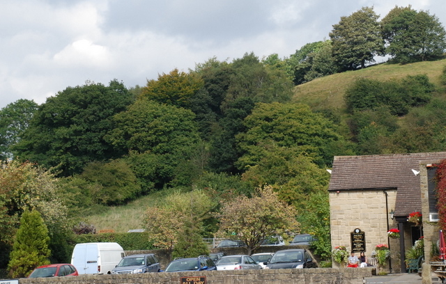
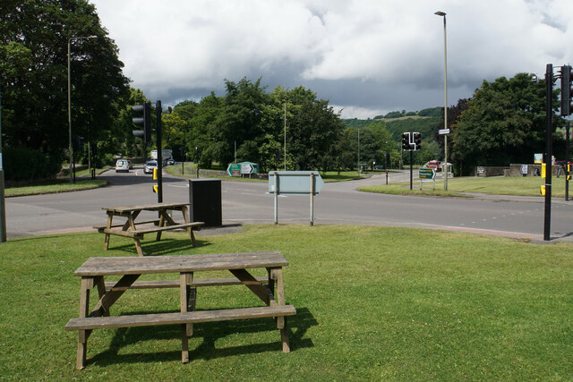
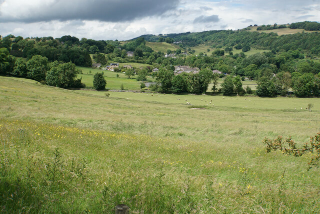
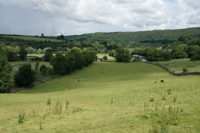
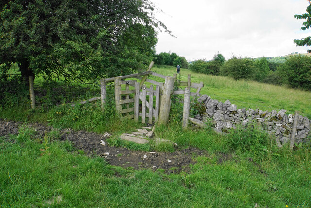
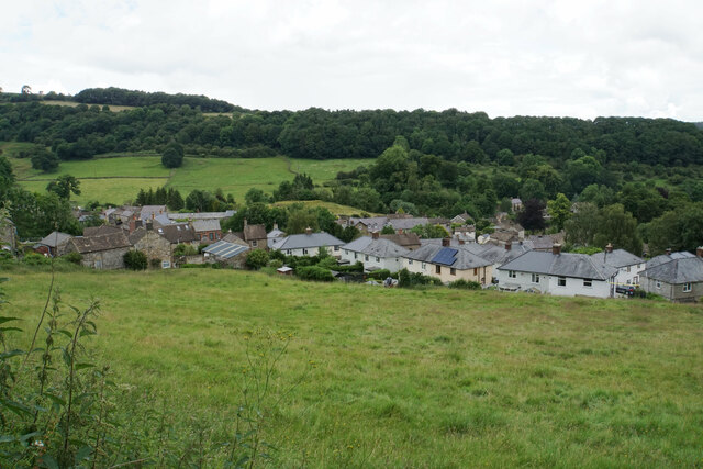
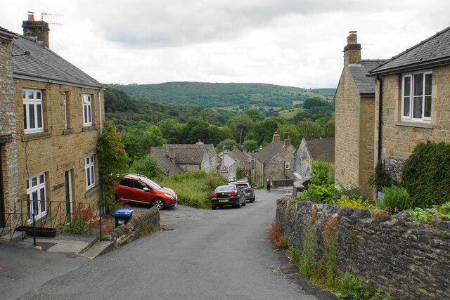
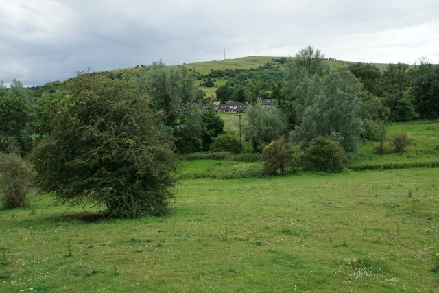
Bramley Wood Reservoirs Images

Images are sourced within 2km of 53.263246/-1.6396183 or Grid Reference SK2474. Thanks to Geograph Open Source API. All images are credited.

Woodland behind the Eyre Arms This woodland on this hill behind the Eyre Arms is just to the south-west of the centre of SK27.
Woodland behind the Eyre Arms
This woodland on this hill behind the Eyre Arms is just to the south-west of the centre of SK27.
Crossroads in Calver A lot of people will only know Calver from these crossroads, as the A623 passes through, and the A625 turns off. There is a village green here, with more on the opposite side, but the village has quieter and more attractive bits.
Crossroads in Calver
A lot of people will only know Calver from these crossroads, as the A623 passes through, and the A625 turns off. There is a village green here, with more on the opposite side, but the village has quieter and more attractive bits.
Hillside below Calver Low Looking down towards Stoney Middleton. Eyam is just visible further up the far hill.
Hillside below Calver Low
Looking down towards Stoney Middleton. Eyam is just visible further up the far hill.
Field at the bottom of Coombs Dale The A623 runs at the other end of the field. The Derwent valley is in the background with Froggatt Edge on the far side.
Field at the bottom of Coombs Dale
The A623 runs at the other end of the field. The Derwent valley is in the background with Froggatt Edge on the far side.
Footpath and gate above Stoney Middleton The wooden structures around the gate show some evolutionary randomness.
Footpath and gate above Stoney Middleton
The wooden structures around the gate show some evolutionary randomness.
Hillside below Eaton Fold A chance to look down on the rooftops of Stoney Middleton.
Hillside below Eaton Fold
A chance to look down on the rooftops of Stoney Middleton.
Middleton Lane A steeply descending road through Stoney Middleton. The Derwent valley is in the distance.
Middleton Lane
A steeply descending road through Stoney Middleton. The Derwent valley is in the distance.
Green fields at the bottom of Middleton Dale Calver Peak is opposite.
Green fields at the bottom of Middleton Dale
Calver Peak is opposite.
Hillside above Stoke Brook The course of Stoke Brook below is obscured by shrubbery. Opposite is Hare Knoll and Calver.
Hillside above Stoke Brook
The course of Stoke Brook below is obscured by shrubbery. Opposite is Hare Knoll and Calver.
Fields by Knouchley Farm Looking down the Derwent Valley, with Curbar and Baslow Edges up on the left.
Fields by Knouchley Farm
Looking down the Derwent Valley, with Curbar and Baslow Edges up on the left.
Hilly farmland near Knouchley Farm Part of the western side of the Derwent valley opposite Froggatt.
Hilly farmland near Knouchley Farm
Part of the western side of the Derwent valley opposite Froggatt.
Path down to the Derwent Froggatt Edge is at the top of the other side.
Path down to the Derwent
Froggatt Edge is at the top of the other side.
River Derwent Very smooth flowing above Calver Weir.
River Derwent
Very smooth flowing above Calver Weir.
Froggatt Bridge Crossing the River Derwent. Grade II listed and mostly rebuilt in the 19th Century.
Froggatt Bridge
Crossing the River Derwent. Grade II listed and mostly rebuilt in the 19th Century.
River Derwent by New Bridge On the opposite side is the Shuttle House, for which the local authority conservation records are here: <span class="nowrap"><a title="https://her.derbyshire.gov.uk/Monument/MDR3974" rel="nofollow ugc noopener" href="https://her.derbyshire.gov.uk/Monument/MDR3974">Link</a><img style="margin-left:2px;" alt="External link" title="External link - shift click to open in new window" src="https://s1.geograph.org.uk/img/external.png" width="10" height="10"/></span>.
River Derwent by New Bridge
On the opposite side is the Shuttle House, for which the local authority conservation records are here: LinkExternal link.
Path by the River Derwent You can't see a great deal of the river through the foliage on the right.
Path by the River Derwent
You can't see a great deal of the river through the foliage on the right.
River Derwent near Calver Both sides of this stretch of the river are lined by trees. There is quite a lot of white water below Calver Weir.
River Derwent near Calver
Both sides of this stretch of the river are lined by trees. There is quite a lot of white water below Calver Weir.
Bridges over the River Derwent The bridge on the left carried the old main road from Baslow before it was replaced by a new Calver Bridge. The bridge on the right is a footbridge.
Bridges over the River Derwent
The bridge on the left carried the old main road from Baslow before it was replaced by a new Calver Bridge. The bridge on the right is a footbridge.
Show me another place!

Bramley Wood Reservoirs is located at Grid Ref: SK2474 (Lat: 53.263246, Lng: -1.6396183)

Administrative County: Derbyshire

District: Derbyshire Dales

Police Authority: Derbyshire

What 3 Words

///spill.mistaking.actors. Near Baslow, Derbyshire

Related Wikis

Calver

Calver (Old English Calf Slope) is a village and civil parish in Derbyshire, England. The population of the civil parish at the 2011 census was 710....

All Saints' Church, Curbar

All Saints’ Church, Curbar is a Church of England parish church in Curbar, Derbyshire. == History == Until the church was built, the nearest parish church...

Cliff College

Cliff College is a Christian theological college in Calver, Derbyshire, that teaches Biblical Theology at the undergraduate level and a number of mission...

Curbar

Curbar is a village and civil parish in the Derbyshire Dales district of Derbyshire, England. The population based on the 2011 Census was 417. Curbar is...

Upper Derwent Valley

The Upper Derwent Valley is an area of the Peak District National Park in England. It largely lies in Derbyshire, but its north eastern area lies in Sheffield...

Baslow Hall

Baslow Hall is a Grade II listed building in Baslow, Derbyshire. == History == Baslow Hall, just off Calver Road, was built in 1907 to the designs of the...

Middleton Hall, Stoney Middleton

Middleton Hall is a restored 17th-century country house at Stoney Middleton, Derbyshire. It is a Grade II listed building.The house was built in the mid...

St Martin's Church, Stoney Middleton

St Martin's Church is a Grade II* listed parish church in the Church of England in Stoney Middleton, Derbyshire. == History == The church dates from the...

Nearby Amenities

Located within 500m of 53.263246,-1.6396183
Barrier: stile
Material: stone
Stile: squeezer
Lat/Long: 53.2617497/-1.6335112
Barrier: stile
Material: stone
Source: survey;gps
Step Count: 2
Stile: stepover
Lat/Long: 53.2665639/-1.6446355
Barrier: stile
Material: stone
Source: survey;gps
Stile: stepover
Lat/Long: 53.2644571/-1.6342277
Parking
Access: yes
Fee: no
Parking: surface
Lat/Long: 53.2611038/-1.6459718
Barrier: stile
Material: stone
Source: survey;gps
Stile: squeezer
Lat/Long: 53.2640839/-1.6435934
Barrier: stile
Material: stone
Source: survey;gps
Stile: squeezer
Lat/Long: 53.2645368/-1.6434033
Barrier: stile
Material: stone
Source: survey;gps
Stile: stepover
Lat/Long: 53.2623776/-1.6379552
Barrier: stile
Material: wood
Source: survey;gps
Stile: stepover
Lat/Long: 53.2636802/-1.6393356
Barrier: stile
Material: stone
Source: survey;gps
Stile: squeezer
Lat/Long: 53.2665489/-1.6400864
Barrier: stile
Material: stone
Source: survey;gps
Stile: squeezer
Lat/Long: 53.266555/-1.640925
Barrier: stile
Material: stone
Source: survey;gps
Stile: squeezer
Lat/Long: 53.2665875/-1.641057
Barrier: entrance
Source: survey;gps
Lat/Long: 53.2672288/-1.6411239
Barrier: stile
Material: stone
Source: survey;gps
Stile: squeezer
Lat/Long: 53.2644272/-1.6335514
Defibrillator
Access: yes
Check Date: 2023-03-09
Defibrillator Location: On outside wall. Available 24/7.
Emergency: defibrillator
Indoor: no
Lat/Long: 53.2664105/-1.6374398
Generator Method: photovoltaic
Generator Output Electricity: yes
Generator Source: solar
Generator Type: solar_photovoltaic_panel
Location: roof
Power: generator
Lat/Long: 53.266584/-1.6370815
Generator Method: photovoltaic
Generator Output Electricity: yes
Generator Source: solar
Generator Type: solar_photovoltaic_panel
Location: roof
Power: generator
Lat/Long: 53.2666112/-1.6369983
Generator Method: photovoltaic
Generator Output Electricity: yes
Generator Source: solar
Generator Type: solar_photovoltaic_panel
Location: roof
Power: generator
Lat/Long: 53.2666209/-1.6368133
Generator Method: photovoltaic
Generator Output Electricity: yes
Generator Source: solar
Generator Type: solar_photovoltaic_panel
Location: roof
Power: generator
Lat/Long: 53.2663466/-1.6368723
Generator Method: photovoltaic
Generator Output Electricity: yes
Generator Source: solar
Generator Type: solar_photovoltaic_panel
Location: roof
Power: generator
Lat/Long: 53.2663305/-1.636934
Generator Method: photovoltaic
Generator Output Electricity: yes
Generator Source: solar
Generator Type: solar_photovoltaic_panel
Location: roof
Power: generator
Lat/Long: 53.2663161/-1.6369635
Generator Method: photovoltaic
Generator Output Electricity: yes
Generator Source: solar
Generator Type: solar_photovoltaic_panel
Location: roof
Power: generator
Lat/Long: 53.2662519/-1.6344637
Generator Method: photovoltaic
Generator Output Electricity: yes
Generator Source: solar
Generator Type: solar_photovoltaic_panel
Location: roof
Power: generator
Lat/Long: 53.2660393/-1.6344999
Generator Method: photovoltaic
Generator Output Electricity: yes
Generator Source: solar
Generator Type: solar_photovoltaic_panel
Location: roof
Power: generator
Lat/Long: 53.2666888/-1.6358176
Operator: National Grid Electricity Distribution
Power: pole
Lat/Long: 53.2609646/-1.6332266
Operator: National Grid Electricity Distribution
Power: pole
Lat/Long: 53.2617219/-1.6337925
Operator: National Grid Electricity Distribution
Power: pole
Lat/Long: 53.2627768/-1.634569
Operator: National Grid Electricity Distribution
Power: pole
Lat/Long: 53.2643948/-1.6357693
Operator: National Grid Electricity Distribution
Power: pole
Lat/Long: 53.2651704/-1.6363299
Operator: National Grid Electricity Distribution
Power: pole
Lat/Long: 53.2652202/-1.6380478
Location Transition: yes
Operator: National Grid Electricity Distribution
Power: pole
Lat/Long: 53.2661827/-1.6389075
The data included in this document is from www.openstreetmap.org. The data is made available under ODbL.

Have you been to Bramley Wood Reservoirs?

Leave your review of Bramley Wood Reservoirs below (or comments, questions and feedback).