Belwell Pond
Lake, Pool, Pond, Freshwater Marsh in Derbyshire Derbyshire Dales
England
Belwell Pond
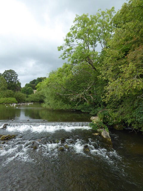
Belwell Pond is a picturesque freshwater pond located in the county of Derbyshire, England. Situated in the heart of the Peak District National Park, it offers visitors a tranquil and idyllic setting surrounded by stunning natural beauty.
Covering an area of approximately 2 acres, Belwell Pond is characterized by its calm and still waters, which reflect the surrounding landscape like a mirror. The pond is fed by natural springs and small streams, ensuring a constant flow of fresh water. It is home to a diverse range of aquatic plants, including lilies and reeds, which provide shelter and food for a variety of wildlife.
The pond supports a rich ecosystem, attracting a myriad of bird species such as mallards, coots, and moorhens, making it a popular spot for birdwatching enthusiasts. Additionally, dragonflies and damselflies can be seen darting across the water's surface during the warmer months, adding a touch of vibrancy to the serene environment.
Surrounded by lush greenery and woodland, Belwell Pond offers several walking trails and picnic spots, making it an ideal destination for nature lovers and families alike. The area is well-maintained, with benches and viewing platforms strategically placed to allow visitors to fully appreciate the panoramic views.
Belwell Pond provides a peaceful retreat from the hustle and bustle of everyday life, allowing visitors to connect with nature and enjoy the tranquility of this hidden gem in Derbyshire. Whether it's a leisurely stroll, birdwatching, or simply taking in the beauty of the surroundings, a visit to Belwell Pond promises a serene and rejuvenating experience.
If you have any feedback on the listing, please let us know in the comments section below.
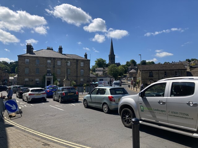
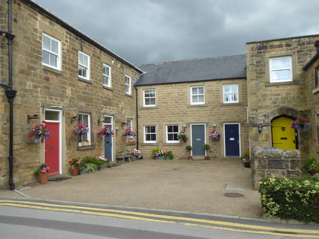
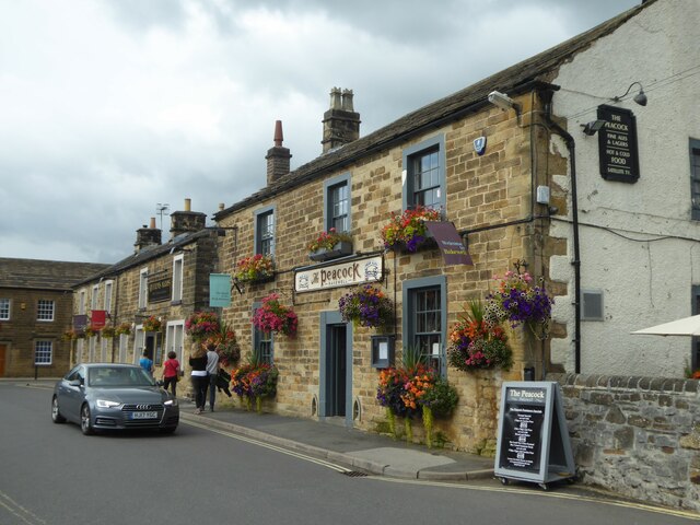
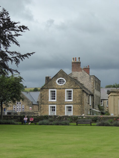
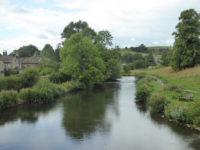
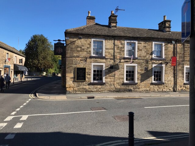
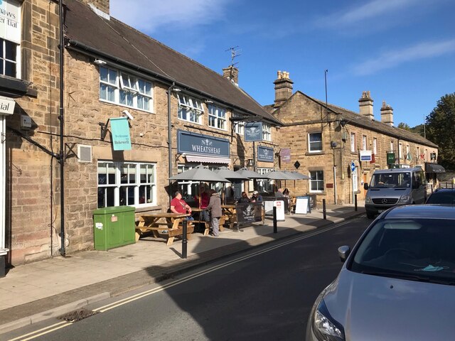
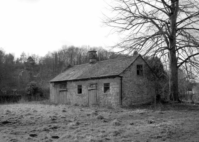
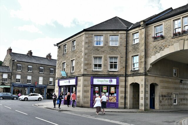
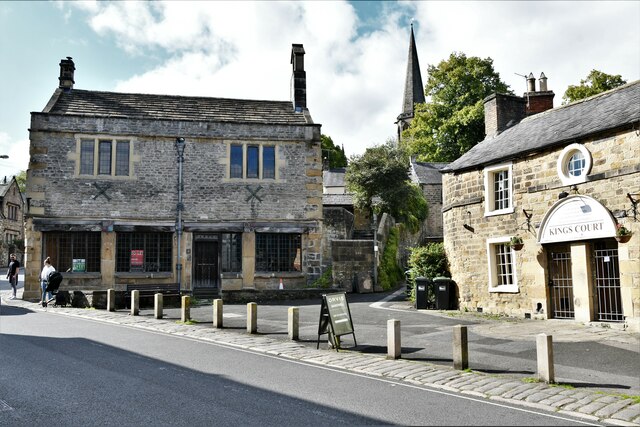
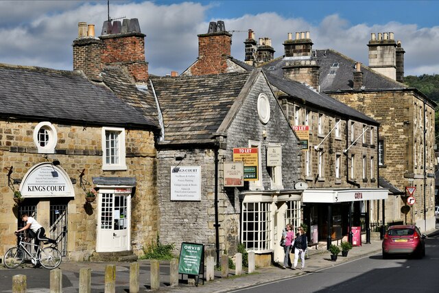
Belwell Pond Images
Images are sourced within 2km of 53.205319/-1.6632652 or Grid Reference SK2267. Thanks to Geograph Open Source API. All images are credited.


Belwell Pond is located at Grid Ref: SK2267 (Lat: 53.205319, Lng: -1.6632652)
Administrative County: Derbyshire
District: Derbyshire Dales
Police Authority: Derbyshire
What 3 Words
///taxi.biked.shelving. Near Bakewell, Derbyshire
Nearby Locations
Related Wikis

Burton Closes
Burton Closes is a 19th-century country house, now in use as a residential nursing home, situated at Haddon Road, Bakewell, Derbyshire. It is a Grade II...
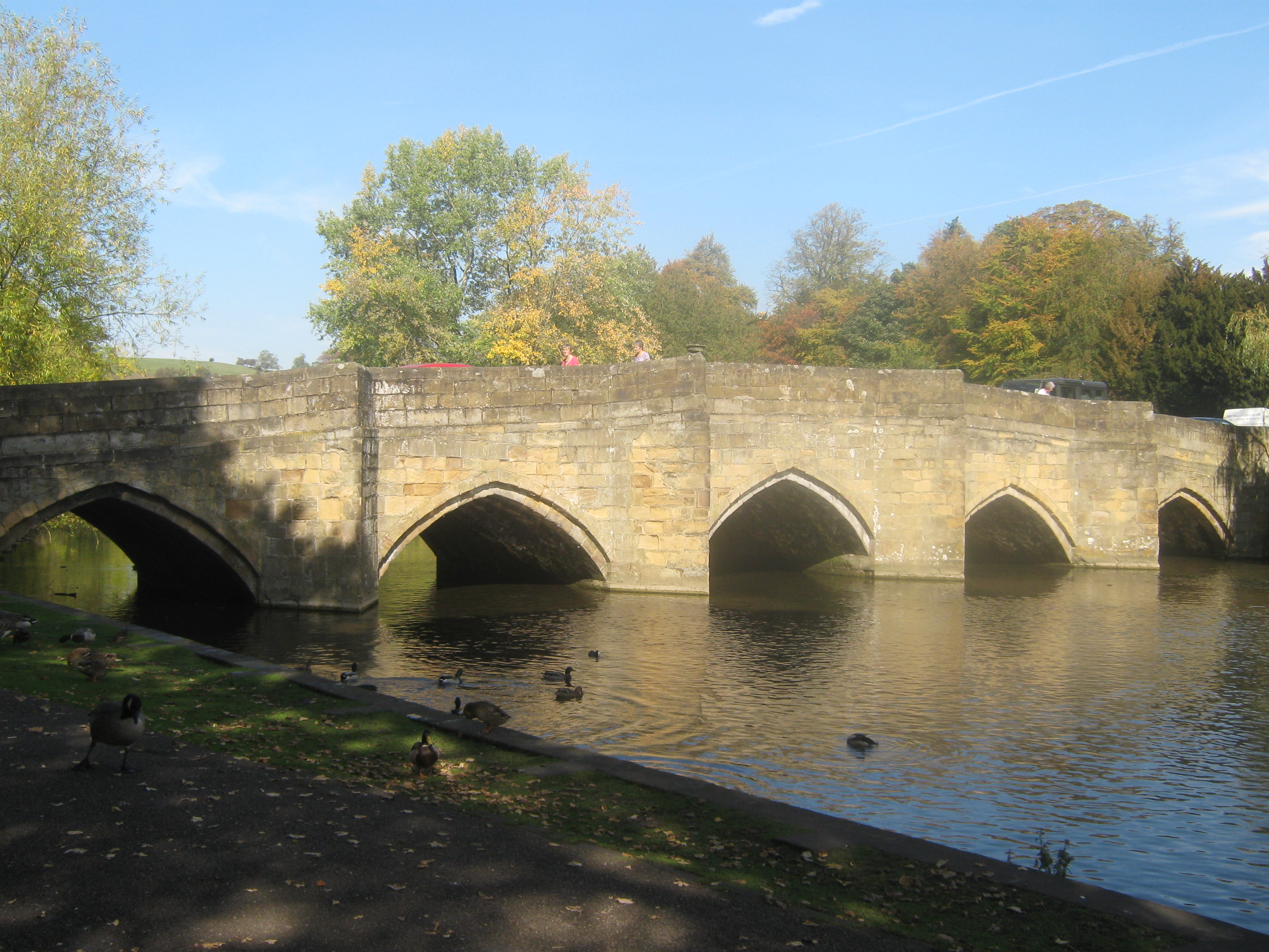
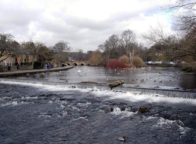
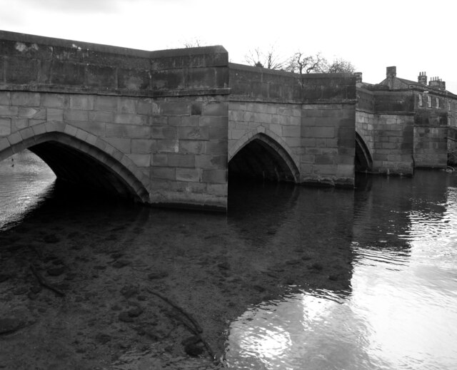
Bakewell Bridge
Bakewell Bridge is a Grade I listed stone arch bridge spanning the River Wye in Bakewell, Derbyshire. The bridge is also a scheduled monument. == History... ==

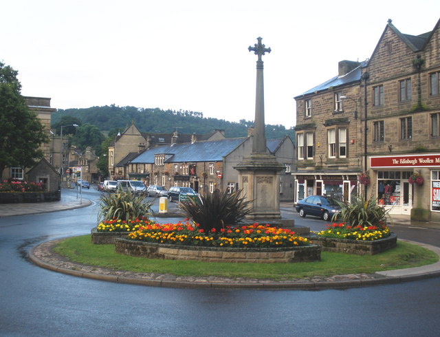
Bakewell War Memorial
Bakewell War Memorial is a 20th-century grade II listed war memorial in Bakewell, Derbyshire. == History == The sandstone memorial is dedicated to the...

Bakewell Urban District
Bakewell was an Urban District in Derbyshire, England from 1894 to 1974. It was created under the Local Government Act 1894. The district was abolished...

Bakewell Castle
Bakewell Castle was in the town of Bakewell, Derbyshire (grid reference SK221688). It was a motte and bailey castle. According to some sources it was built...
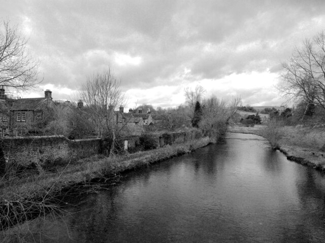
Bakewell
Bakewell is a market town and civil parish in the Derbyshire Dales district of Derbyshire, England, known for Bakewell pudding. It lies on the River Wye...
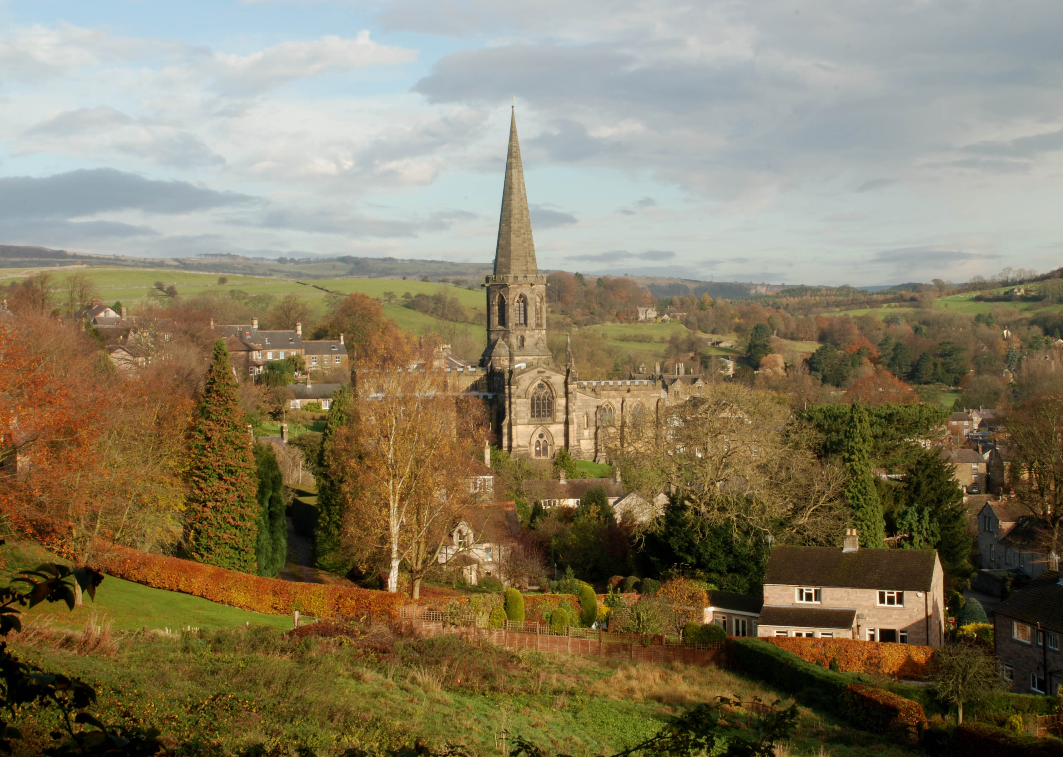
All Saints' Church, Bakewell
All Saints' Church, Bakewell, is the parish church of Bakewell, Derbyshire, England. It is a Grade I listed building. == The first church == The church...

Lady Manners School
Lady Manners School is an English secondary school located in Bakewell, a market town in the Peak District National Park, Derbyshire. It was founded on...
Nearby Amenities
Located within 500m of 53.205319,-1.6632652Have you been to Belwell Pond?
Leave your review of Belwell Pond below (or comments, questions and feedback).