Burton Ashes Wood

Wood, Forest in Derbyshire Derbyshire Dales

England

Burton Ashes Wood

Rutland Square, Bakewell The war memorial and Rutland Arms Hotel is seen in Rutland Square. A very successful 19th century coaching inn, the hotel building was constructed in 1804. The Grade I listed All Saints’ Church is seen in the background, parts of which date from the 12th century, although most of the structure was completely rebuilt in the mid-19th century.
Rutland Square, Bakewell Credit: Daniel Parks

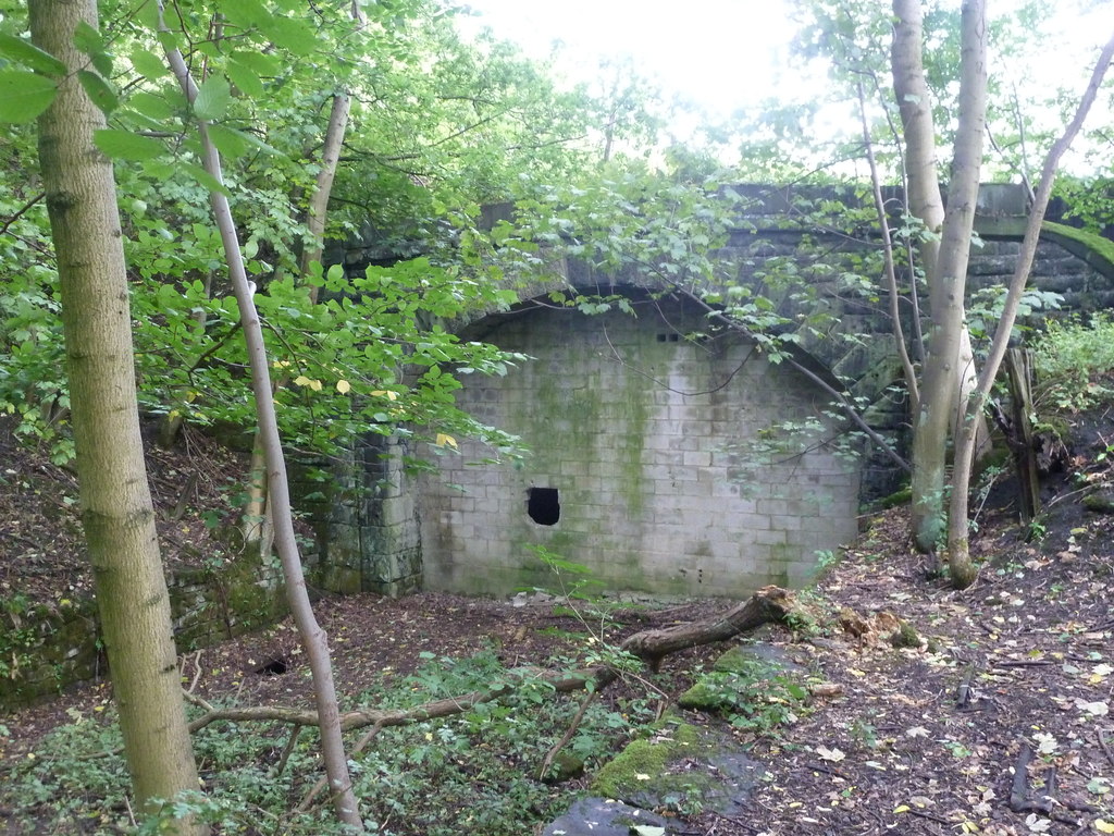
Burton Ashes Wood is a beautiful woodland located in Derbyshire, England. Covering an area of approximately 50 acres, it is a designated Site of Special Scientific Interest (SSSI) due to its rich biodiversity and unique ecological features. The wood is situated on the outskirts of the village of Burton Ashes, offering a tranquil escape from the nearby urban areas.

The woodland is primarily composed of mixed broadleaf trees, including oak, birch, beech, and ash. These towering trees create a dense canopy, providing a shaded and cool environment, particularly during the summer months. The forest floor is covered in a thick layer of leaf litter, providing a habitat for a variety of small mammals, insects, and fungi.

Burton Ashes Wood is famed for its diverse bird population, attracting birdwatchers from near and far. Species such as woodpeckers, tits, and warblers can be spotted among the branches, while owls can be heard hooting during the evening hours. The wood is also home to a range of other wildlife, including deer, foxes, and badgers.

The wood is crisscrossed by a network of well-maintained footpaths, making it easily accessible for walkers and nature enthusiasts. These paths offer visitors the opportunity to explore the wood at their own pace, allowing them to fully appreciate its natural beauty. There are also designated picnic areas, enabling visitors to relax and enjoy a meal amidst the peaceful surroundings.

Overall, Burton Ashes Wood is a haven for nature lovers, offering a slice of tranquility and a chance to connect with the natural world. Its diverse flora and fauna make it a must-visit destination for anyone seeking to immerse themselves in the beauty of Derbyshire's countryside.

If you have any feedback on the listing, please let us know in the comments section below.

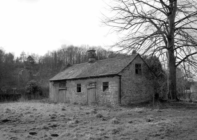
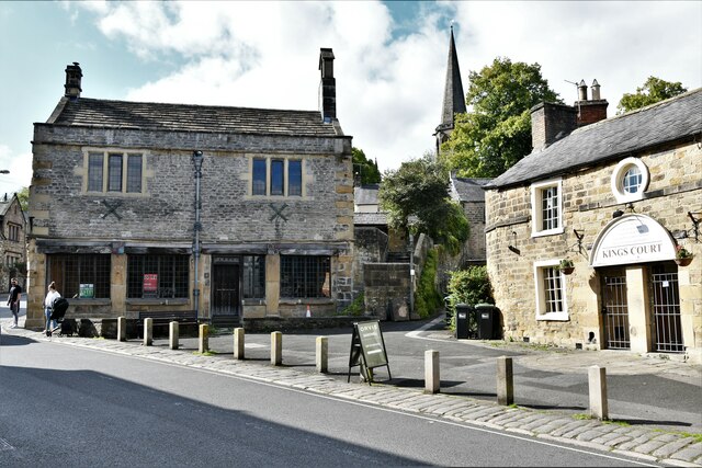
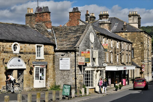
Burton Ashes Wood Images

Images are sourced within 2km of 53.20167/-1.666722 or Grid Reference SK2267. Thanks to Geograph Open Source API. All images are credited.

Rutland Square, Bakewell The war memorial and Rutland Arms Hotel is seen in Rutland Square. A very successful 19th century coaching inn, the hotel building was constructed in 1804. The Grade I listed All Saints’ Church is seen in the background, parts of which date from the 12th century, although most of the structure was completely rebuilt in the mid-19th century.
Rutland Square, Bakewell
The war memorial and Rutland Arms Hotel is seen in Rutland Square. A very successful 19th century coaching inn, the hotel building was constructed in 1804. The Grade I listed All Saints’ Church is seen in the background, parts of which date from the 12th century, although most of the structure was completely rebuilt in the mid-19th century.
Houses in Rutland Mews Bakewell An attractive blend of old houses and a new building linking them together.
Houses in Rutland Mews Bakewell
An attractive blend of old houses and a new building linking them together.
Weir on the River Wye at Bakewell
The Peacock public house in Bakewell
House overlooking the bowling green in Bakewell
The River Wye upstream from the A619 in Bakewell
The sign of The Queens Arms See <a href="https://www.geograph.org.uk/photo/6984627">SK2168 : The Queens Arms</a>
The sign of The Queens Arms
The Queens Arms
The Queens Arms
The Wheatsheaf On Bridge Street, Bakewell.
The Wheatsheaf
On Bridge Street, Bakewell.
The sign of The Wheatsheaf See: <a href="https://www.geograph.org.uk/photo/6984633">SK2168 : The Wheatsheaf</a>.
The sign of The Wheatsheaf
The River Wye, Bakewell A weir seen from a footbridge with Bakewell Bridge in the background.
The River Wye, Bakewell
A weir seen from a footbridge with Bakewell Bridge in the background.
The River Wye seen from Bakewell Bridge The River Wye is a limestone river in the Peak District of Derbyshire. It is 15 miles in length, and is one of the major tributaries of the River Derwent, which flows into the River Trent.
The river rises on Axe Edge and flows east then south east to meet the Derwent near Rowsley. It has an impressive valley through Chee Dale and Monsal Dale.
The River Wye seen from Bakewell Bridge
The River Wye is a limestone river in the Peak District of Derbyshire. It is 15 miles in length, and is one of the major tributaries of the River Derwent, which flows into the River Trent. The river rises on Axe Edge and flows east then south east to meet the Derwent near Rowsley. It has an impressive valley through Chee Dale and Monsal Dale.
Bakewell Bridge Bakewell Bridge carries the A619 over the River Wye. It was originally constructed in the fourteenth century and was widemed in the nineteenth. It is a grade I listed structure.
Bakewell Bridge
Bakewell Bridge carries the A619 over the River Wye. It was originally constructed in the fourteenth century and was widemed in the nineteenth. It is a grade I listed structure.
Derelict barn, Scot's Garden, Bakewell
Bakewell: Grape Tree
Bakewell: Hawkridge Books window display
Bakewell, King Street
Show me another place!

Burton Ashes Wood is located at Grid Ref: SK2267 (Lat: 53.20167, Lng: -1.666722)

Administrative County: Derbyshire

District: Derbyshire Dales

Police Authority: Derbyshire

What 3 Words

///starfish.blinking.procures. Near Bakewell, Derbyshire

Related Wikis

Burton Closes

Burton Closes is a 19th-century country house, now in use as a residential nursing home, situated at Haddon Road, Bakewell, Derbyshire. It is a Grade II...

Lady Manners School

Lady Manners School is an English secondary school located in Bakewell, a market town in the Peak District National Park, Derbyshire. It was founded on...

Haddon Tunnel

Haddon Tunnel was built by the Midland Railway in 1863 when extending the Manchester, Buxton, Matlock and Midlands Junction Railway from Rowsley to Buxton...

Bakewell War Memorial

Bakewell War Memorial is a 20th-century grade II listed war memorial in Bakewell, Derbyshire. == History == The sandstone memorial is dedicated to the...

Bakewell Urban District

Bakewell was an Urban District in Derbyshire, England from 1894 to 1974. It was created under the Local Government Act 1894. The district was abolished...
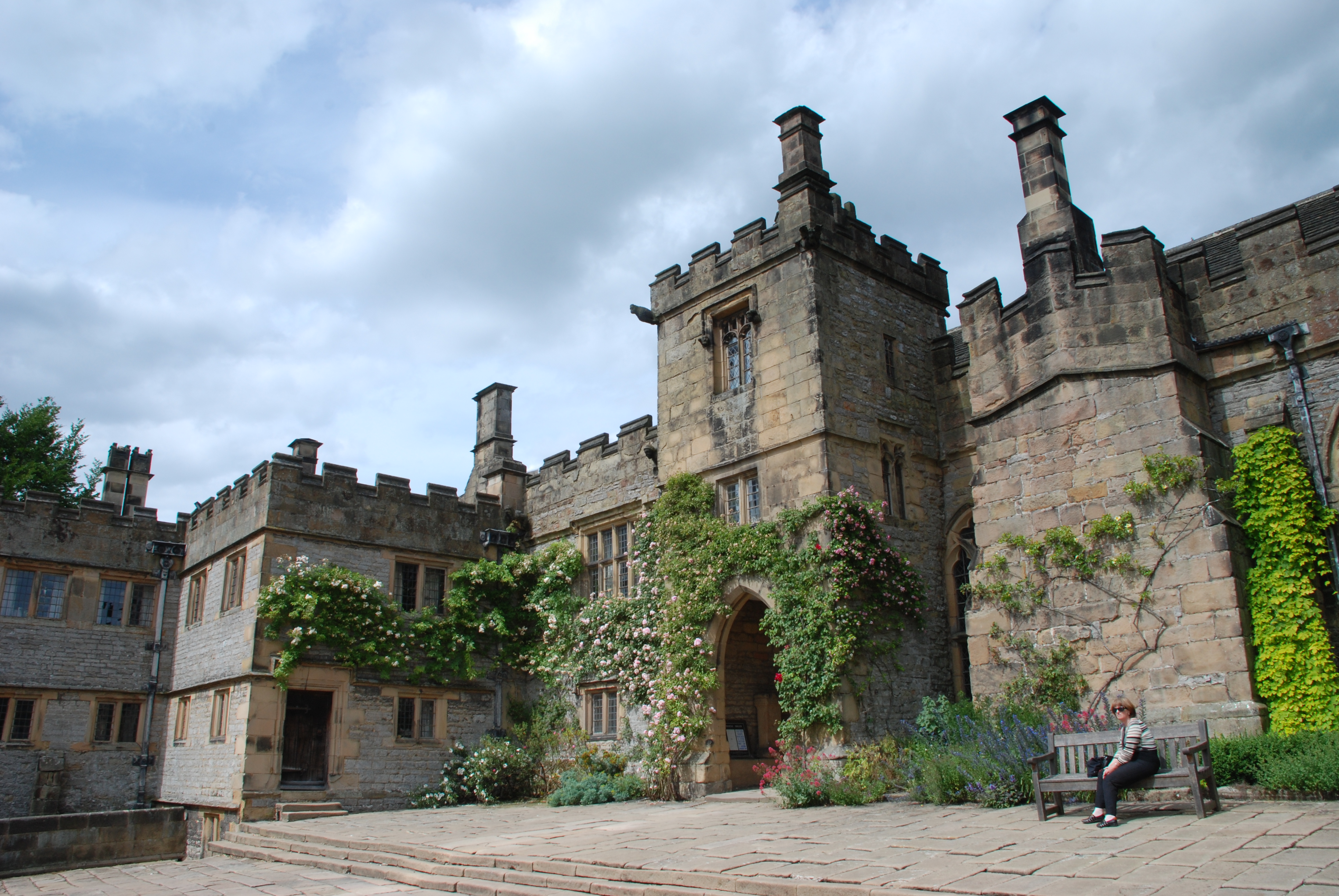
Haddon Hall

Haddon Hall is an English country house on the River Wye near Bakewell, Derbyshire, a former seat of the Dukes of Rutland. It is the home of Lord Edward...

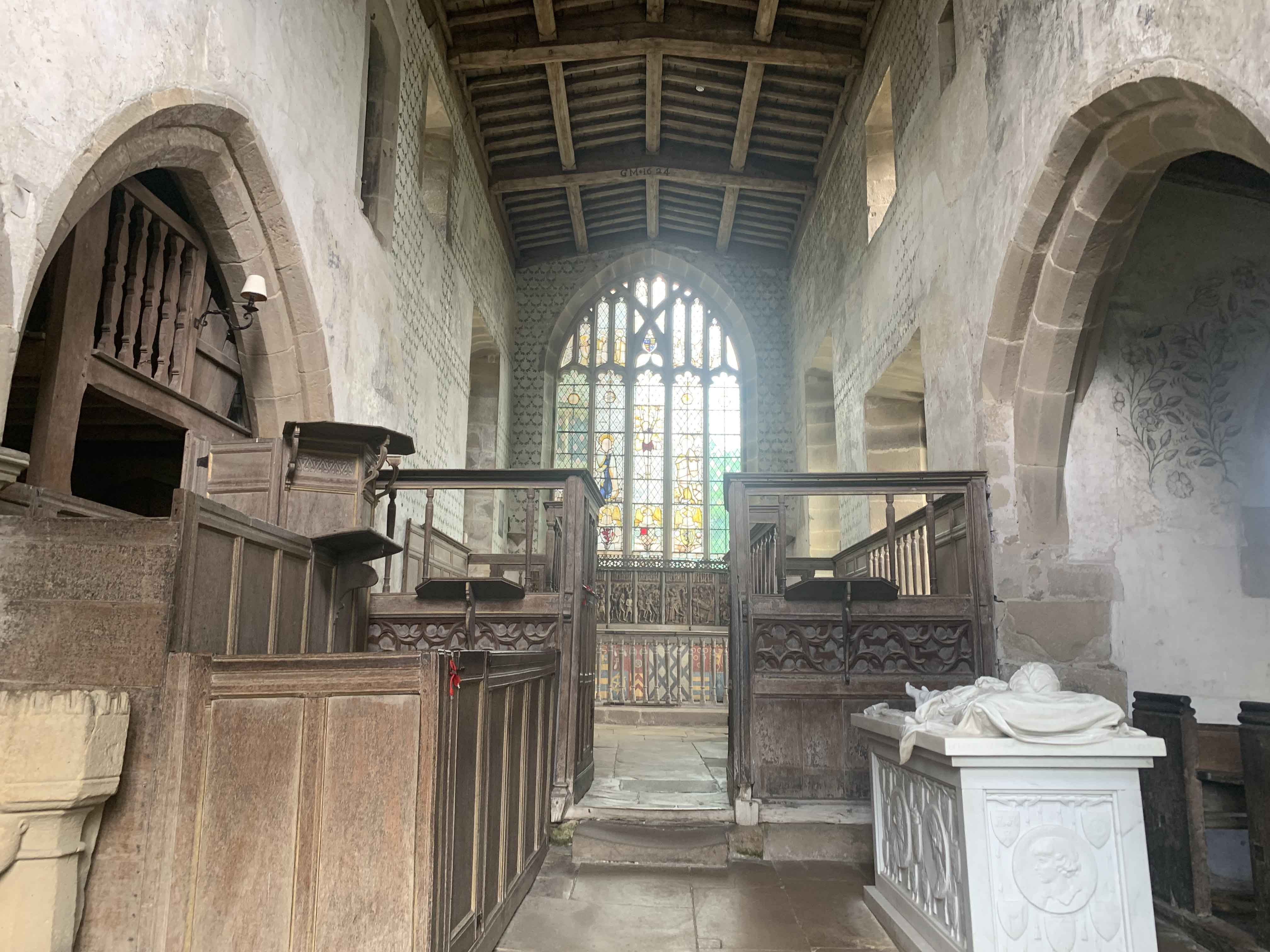
Chapel of St Nicholas, Haddon Hall

The Chapel St John Nicholas, Haddon Hall is a Grade I listed Church of England chapel in Haddon Hall, Derbyshire. The chapel's origins are Norman, with...

Nether Haddon

Nether Haddon is a sparsely populated village and civil parish in Derbyshire, England. It is immediately downstream along the River Wye from the small...

Related Videos

GREENHILLS HOLIDAY PARK, BAKEWELL, PEAK DISTRICT NATIONAL PARK, DERBYSHIRE CAMPING CAMPSITE VAN LIFE

Greenhills Holiday Park, is a family run holiday park located in Bakewell, the heart of the Peak District. An excellent centre from ...

Peak District National Park Hike | England - Best Day Trips from Manchester, Top Hikes in the UK

This is my day trip from Manchester to Peak District National Park. This was a pretty short hike that was cut shorter due to the sun ...

Wild Camping and Hiking in Peak District National Park, UK

In this adventure me and Patrick hike our way through the stunning English National Park called Peak District. A mountainous ...

Walking in The Peak District & Exploring Castleton || We are back in the UK!

Today we head out to one of our favourite places in the UK, The Peak District. It's not too far from where we live so we love going ...

Nearby Amenities

Located within 500m of 53.20167,-1.666722
Note: 50 mph sign southbound, 40 mph sign northbound
Traffic Sign Backward: GB:670[40]
Traffic Sign Forward: GB:670[50]
Lat/Long: 53.2024321/-1.6638254
Barrier: kissing_gate
Source: survey;gps
Lat/Long: 53.2005544/-1.667012
Barrier: stile
Material: stone
Stile: stepover
Lat/Long: 53.2033521/-1.6677862
Matts Mower Maintenance
Note: Servicing Sales and Repair
Shop: lawn_mower
Lat/Long: 53.2035392/-1.6670924
Barrier: kissing_gate
Source: survey;gps
Lat/Long: 53.20236/-1.6671926
Generator Method: photovoltaic
Generator Output Electricity: yes
Generator Source: solar
Generator Type: solar_photovoltaic_panel
Location: roof
Power: generator
Lat/Long: 53.2049225/-1.6686698
Generator Method: photovoltaic
Generator Output Electricity: yes
Generator Source: solar
Generator Type: solar_photovoltaic_panel
Location: roof
Power: generator
Lat/Long: 53.2049964/-1.6688173
Generator Method: photovoltaic
Generator Output Electricity: yes
Generator Source: solar
Generator Type: solar_photovoltaic_panel
Location: roof
Power: generator
Lat/Long: 53.2050366/-1.6688978
Generator Method: photovoltaic
Generator Output Electricity: yes
Generator Source: solar
Generator Type: solar_photovoltaic_panel
Location: roof
Power: generator
Lat/Long: 53.2051748/-1.6679966
Generator Method: photovoltaic
Generator Output Electricity: yes
Generator Source: solar
Generator Type: solar_photovoltaic_panel
Location: roof
Power: generator
Lat/Long: 53.2053226/-1.6695147
Generator Method: photovoltaic
Generator Output Electricity: yes
Generator Source: solar
Generator Type: solar_photovoltaic_panel
Location: roof
Power: generator
Lat/Long: 53.2048397/-1.6707855
Bus Stop
Haddon House Farm
Bench: no
Bin: no
Lit: yes
Naptan AtcoCode: 100000008459
Naptan NaptanCode: dbsdpgwd
Public Transport: platform
Shelter: no
Tactile Paving: no
Lat/Long: 53.2035248/-1.6648056
Bus Stop
Haddon House Farm
Bench: no
Bin: no
Lit: yes
Naptan AtcoCode: 100000008460
Naptan NaptanCode: dbsdpgwg
Public Transport: platform
Shelter: no
Tactile Paving: no
Lat/Long: 53.2036436/-1.6650436
The data included in this document is from www.openstreetmap.org. The data is made available under ODbL.

Have you been to Burton Ashes Wood?

Leave your review of Burton Ashes Wood below (or comments, questions and feedback).