Elliottholme Wood

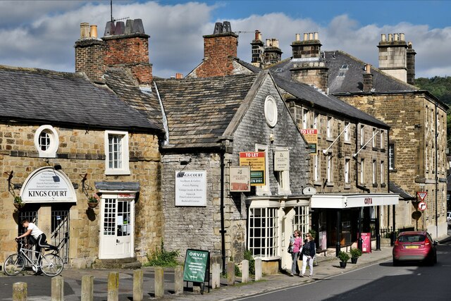
Wood, Forest in Derbyshire Derbyshire Dales

England

Elliottholme Wood

Rutland Square, Bakewell The war memorial and Rutland Arms Hotel is seen in Rutland Square. A very successful 19th century coaching inn, the hotel building was constructed in 1804. The Grade I listed All Saints’ Church is seen in the background, parts of which date from the 12th century, although most of the structure was completely rebuilt in the mid-19th century.
Rutland Square, Bakewell Credit: Daniel Parks

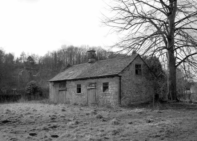
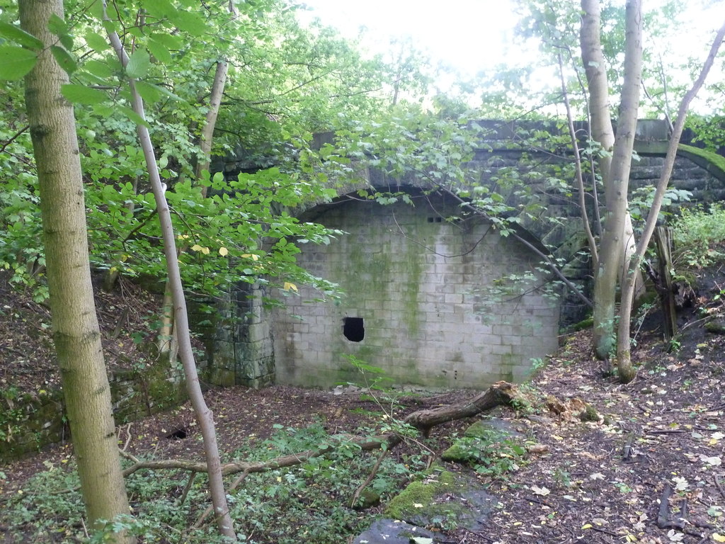
Elliottholme Wood is a picturesque woodland located in Derbyshire, England. Situated near the village of Wood, this forested area covers approximately 100 hectares of land, providing a tranquil escape for nature enthusiasts and outdoor adventurers.

The woodland is characterized by its diverse tree species, including oak, birch, and beech, among others. These towering trees form a dense canopy, creating a shaded and cool environment even on hot summer days. Walking through the wood, visitors can enjoy the soothing sounds of birds chirping and leaves rustling in the breeze.

The forest floor is covered with a thick layer of leaf litter, providing a habitat for a variety of small mammals and insects. Squirrels and rabbits can be spotted darting between the trees, while woodpeckers and owls can often be heard tapping and hooting in the distance.

A network of well-maintained walking trails winds through Elliottholme Wood, allowing visitors to explore its beauty at their own pace. These trails vary in difficulty, catering to both casual strollers and experienced hikers. Along the way, benches are strategically placed, offering opportunities for rest and contemplation.

Elliottholme Wood is also home to a number of historical features, such as remnants of ancient stone walls and the remains of a medieval hunting lodge. These remnants provide a glimpse into the area's rich past and add a sense of intrigue and fascination to the woodland experience.

Whether it's a leisurely stroll, a family picnic, or a birdwatching expedition, Elliottholme Wood offers a captivating natural setting for all to enjoy.

If you have any feedback on the listing, please let us know in the comments section below.

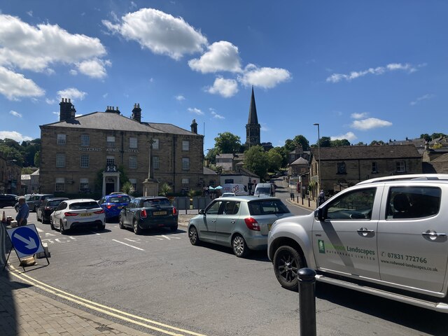
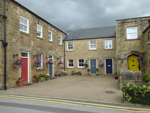
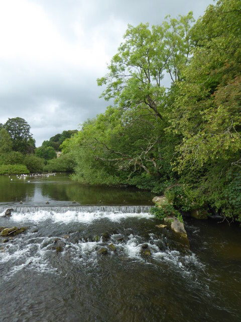
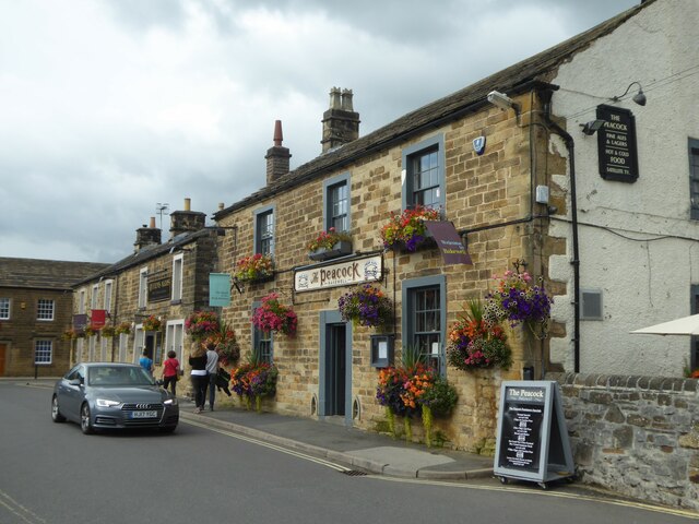
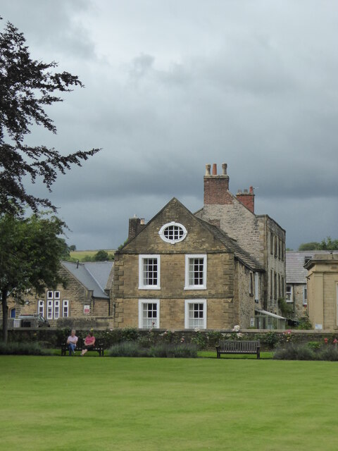
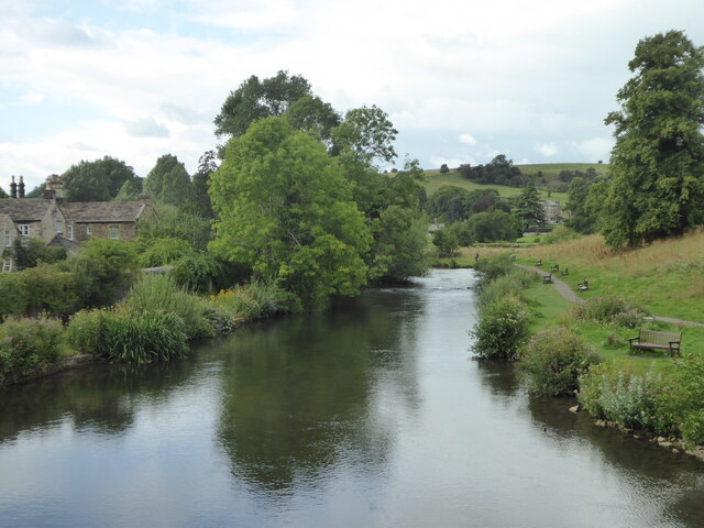
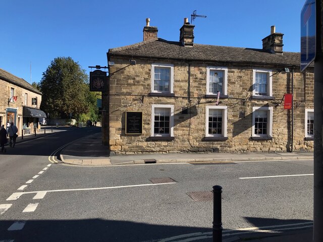
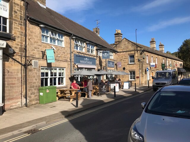
Elliottholme Wood Images

Images are sourced within 2km of 53.20515/-1.6576222 or Grid Reference SK2267. Thanks to Geograph Open Source API. All images are credited.

Rutland Square, Bakewell The war memorial and Rutland Arms Hotel is seen in Rutland Square. A very successful 19th century coaching inn, the hotel building was constructed in 1804. The Grade I listed All Saints’ Church is seen in the background, parts of which date from the 12th century, although most of the structure was completely rebuilt in the mid-19th century.
Rutland Square, Bakewell
The war memorial and Rutland Arms Hotel is seen in Rutland Square. A very successful 19th century coaching inn, the hotel building was constructed in 1804. The Grade I listed All Saints’ Church is seen in the background, parts of which date from the 12th century, although most of the structure was completely rebuilt in the mid-19th century.
Houses in Rutland Mews Bakewell An attractive blend of old houses and a new building linking them together.
Houses in Rutland Mews Bakewell
An attractive blend of old houses and a new building linking them together.
Weir on the River Wye at Bakewell
The Peacock public house in Bakewell
House overlooking the bowling green in Bakewell
The River Wye upstream from the A619 in Bakewell
The sign of The Queens Arms See <a href="https://www.geograph.org.uk/photo/6984627">SK2168 : The Queens Arms</a>
The sign of The Queens Arms
The Queens Arms
The Queens Arms
The Wheatsheaf On Bridge Street, Bakewell.
The Wheatsheaf
On Bridge Street, Bakewell.
The sign of The Wheatsheaf See: <a href="https://www.geograph.org.uk/photo/6984633">SK2168 : The Wheatsheaf</a>.
The sign of The Wheatsheaf
The River Wye, Bakewell A weir seen from a footbridge with Bakewell Bridge in the background.
The River Wye, Bakewell
A weir seen from a footbridge with Bakewell Bridge in the background.
The River Wye seen from Bakewell Bridge The River Wye is a limestone river in the Peak District of Derbyshire. It is 15 miles in length, and is one of the major tributaries of the River Derwent, which flows into the River Trent.
The river rises on Axe Edge and flows east then south east to meet the Derwent near Rowsley. It has an impressive valley through Chee Dale and Monsal Dale.
The River Wye seen from Bakewell Bridge
The River Wye is a limestone river in the Peak District of Derbyshire. It is 15 miles in length, and is one of the major tributaries of the River Derwent, which flows into the River Trent. The river rises on Axe Edge and flows east then south east to meet the Derwent near Rowsley. It has an impressive valley through Chee Dale and Monsal Dale.
Bakewell Bridge Bakewell Bridge carries the A619 over the River Wye. It was originally constructed in the fourteenth century and was widemed in the nineteenth. It is a grade I listed structure.
Bakewell Bridge
Bakewell Bridge carries the A619 over the River Wye. It was originally constructed in the fourteenth century and was widemed in the nineteenth. It is a grade I listed structure.
Derelict barn, Scot's Garden, Bakewell
Bakewell: Grape Tree
Bakewell: Hawkridge Books window display
Bakewell, King Street
Show me another place!

Elliottholme Wood is located at Grid Ref: SK2267 (Lat: 53.20515, Lng: -1.6576222)

Administrative County: Derbyshire

District: Derbyshire Dales

Police Authority: Derbyshire

What 3 Words

///exits.tissue.smirks. Near Bakewell, Derbyshire

Related Wikis

Burton Closes

Burton Closes is a 19th-century country house, now in use as a residential nursing home, situated at Haddon Road, Bakewell, Derbyshire. It is a Grade II...

Haddon Tunnel

Haddon Tunnel was built by the Midland Railway in 1863 when extending the Manchester, Buxton, Matlock and Midlands Junction Railway from Rowsley to Buxton...
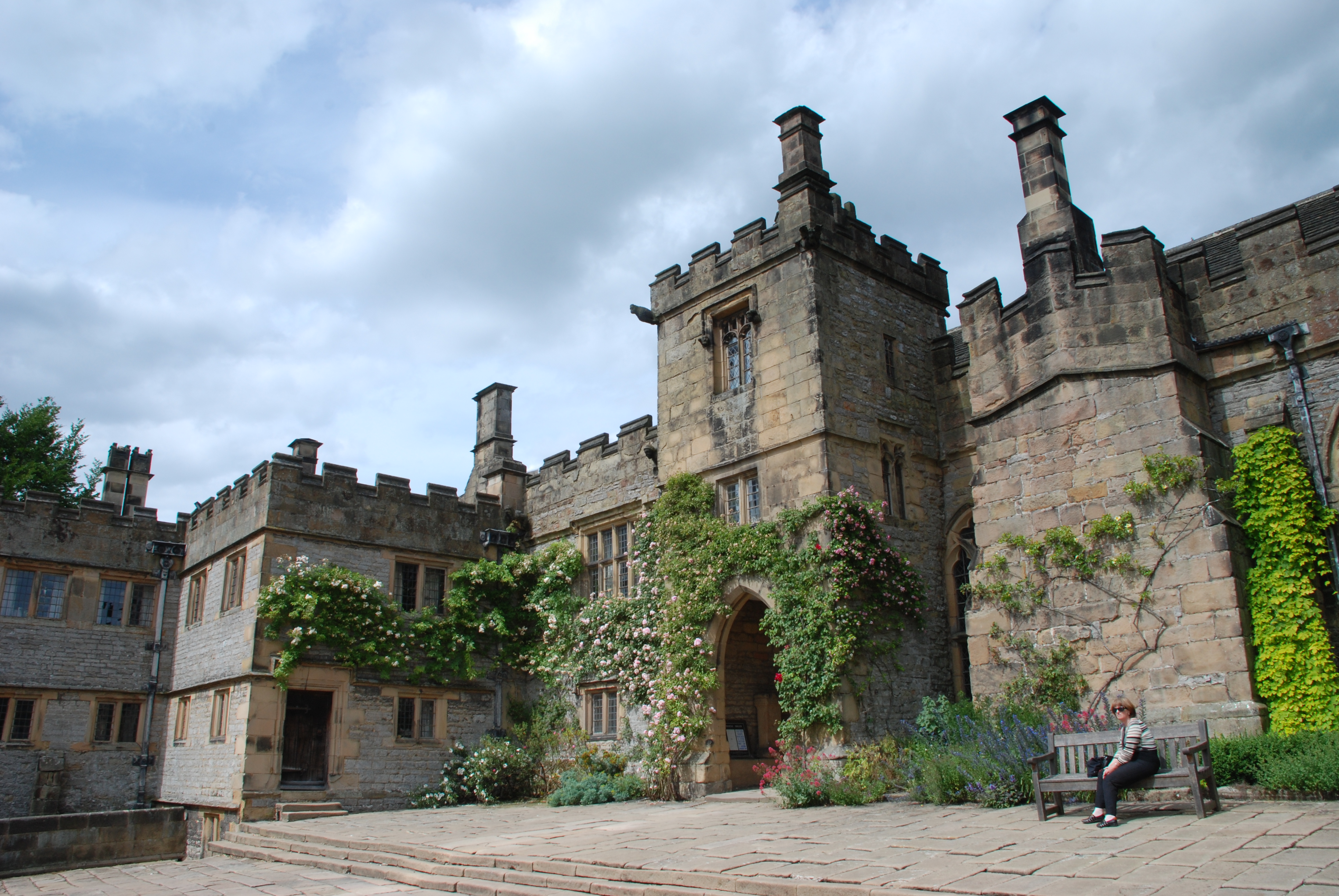
Haddon Hall

Haddon Hall is an English country house on the River Wye near Bakewell, Derbyshire, a former seat of the Dukes of Rutland. It is the home of Lord Edward...

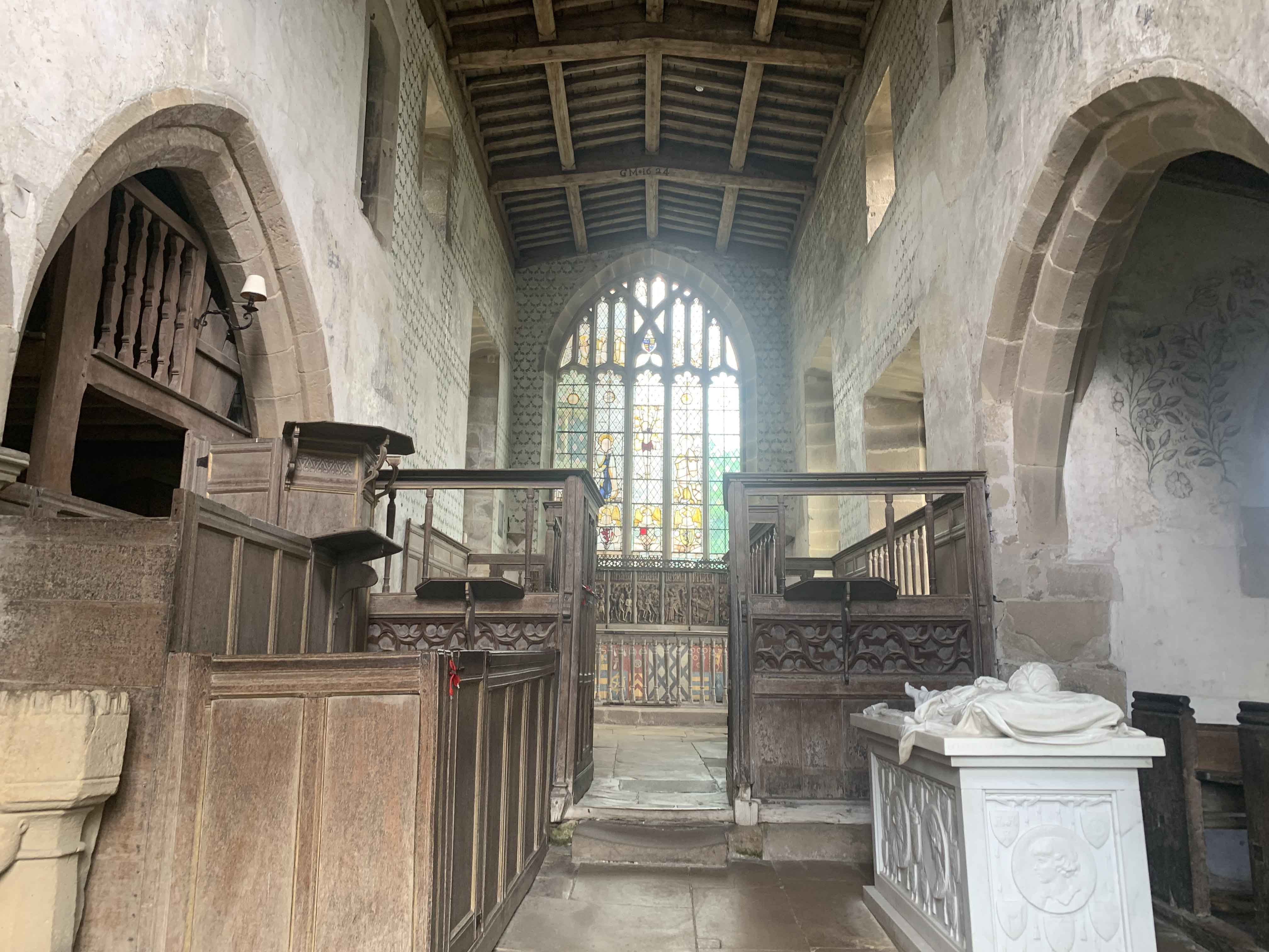
Chapel of St Nicholas, Haddon Hall

The Chapel St John Nicholas, Haddon Hall is a Grade I listed Church of England chapel in Haddon Hall, Derbyshire. The chapel's origins are Norman, with...
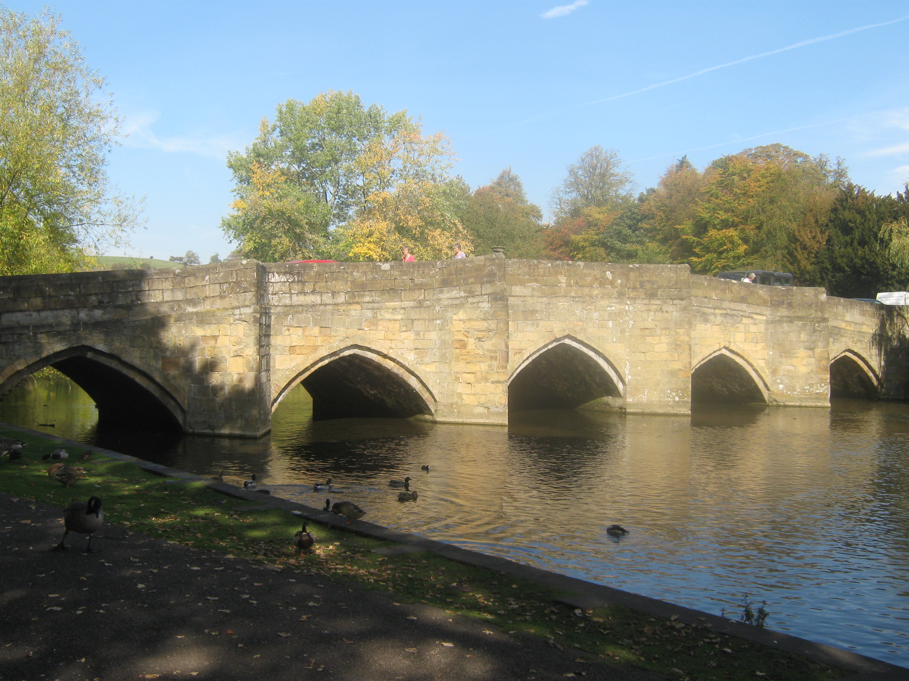
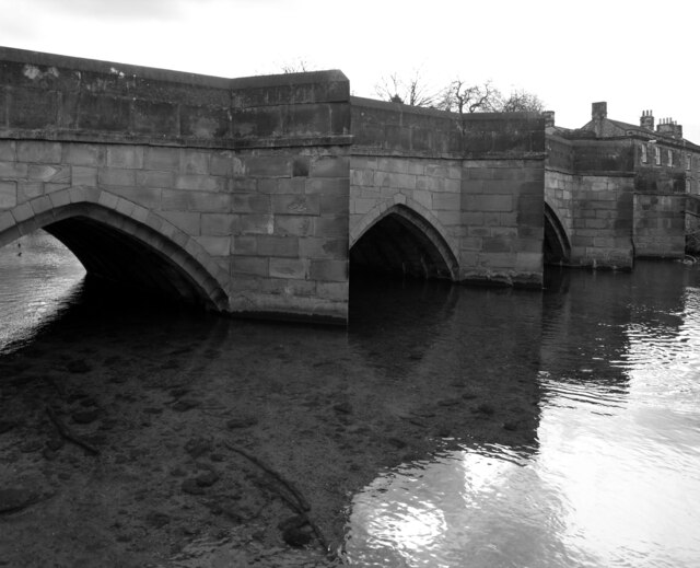
Bakewell Bridge

Bakewell Bridge is a Grade I listed stone arch bridge spanning the River Wye in Bakewell, Derbyshire. The bridge is also a scheduled monument. == History... ==

Bakewell Castle

Bakewell Castle was in the town of Bakewell, Derbyshire (grid reference SK221688). It was a motte and bailey castle. According to some sources it was built...

Bakewell War Memorial

Bakewell War Memorial is a 20th-century grade II listed war memorial in Bakewell, Derbyshire. == History == The sandstone memorial is dedicated to the...

Bakewell Urban District

Bakewell was an Urban District in Derbyshire, England from 1894 to 1974. It was created under the Local Government Act 1894. The district was abolished...

Nearby Amenities

Located within 500m of 53.20515,-1.6576222
Bench
Backrest: no
Lat/Long: 53.2086523/-1.6564741
Coombs Road
Ele: 131.8254395
Information: board
Operator: Peak District National Park Authority
Tourism: information
Lat/Long: 53.2087481/-1.656733
Veteran Ash
Board Type: history
Information: board
Tourism: information
Lat/Long: 53.2010022/-1.6580546
Information: guidepost
Tourism: information
Lat/Long: 53.2041837/-1.6594315
The data included in this document is from www.openstreetmap.org. The data is made available under ODbL.

Have you been to Elliottholme Wood?

Leave your review of Elliottholme Wood below (or comments, questions and feedback).