Compensation Reservoir

Lake, Pool, Pond, Freshwater Marsh in Yorkshire

England

Compensation Reservoir

St. Mary Magdalene's church, Outlane
St. Mary Magdalene's church, Outlane Credit: Steve Fareham

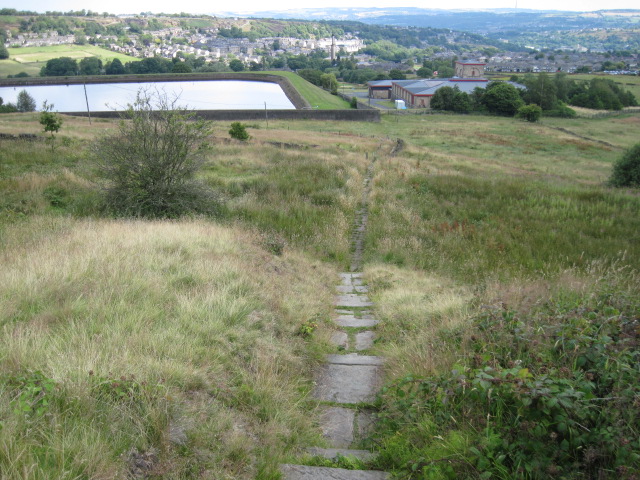
Compensation Reservoir, located in Yorkshire, is a man-made freshwater reservoir that serves multiple purposes for the local community. Built in the early 1900s, this reservoir was primarily constructed to provide a reliable water supply to the nearby towns and villages. It covers an area of approximately 10 hectares, with a maximum depth of around 15 meters.

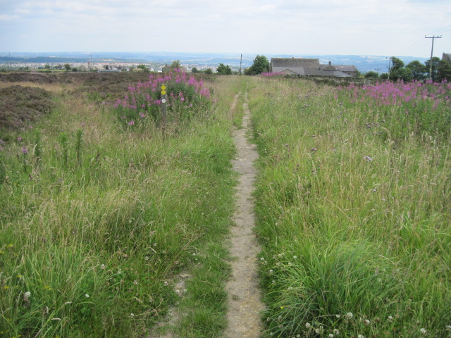
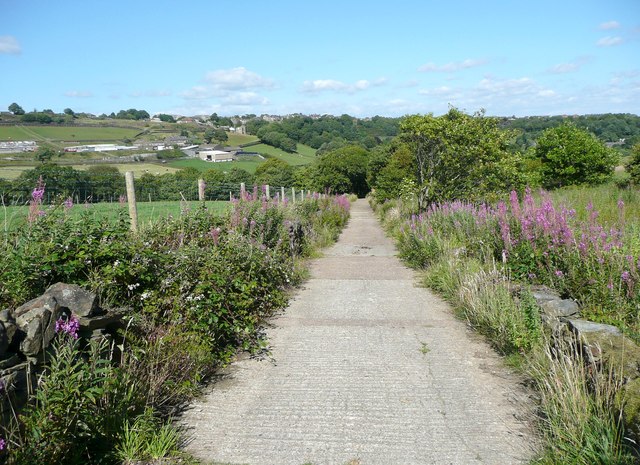
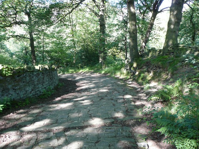
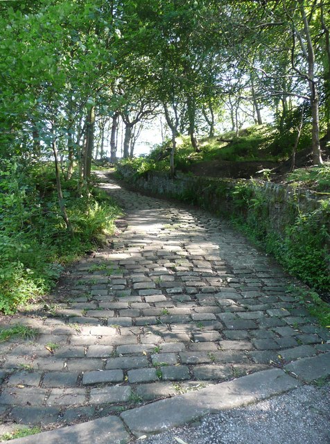
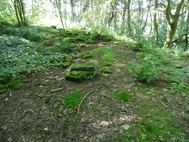
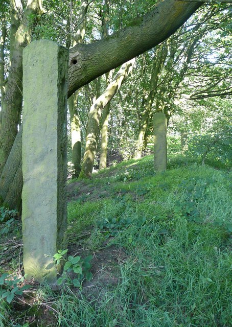
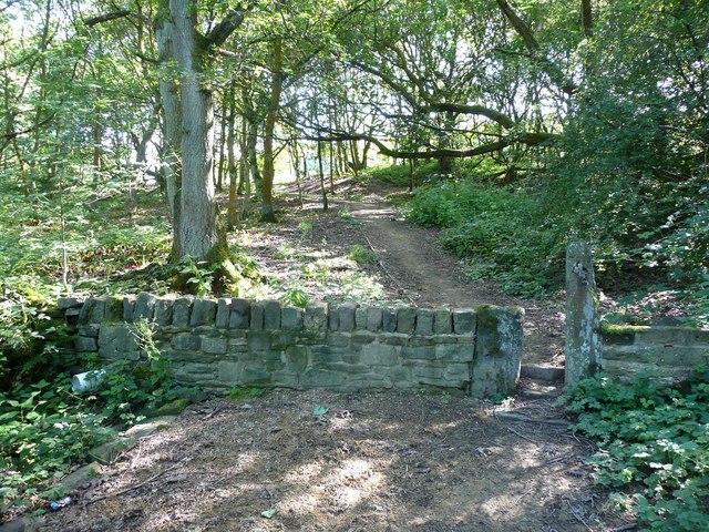
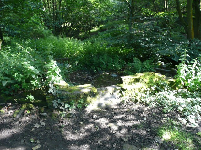
The reservoir is surrounded by lush greenery, creating a serene and picturesque landscape. The water is sourced from nearby streams and rivers, ensuring a constant flow of fresh water into the reservoir. The reservoir also acts as a flood prevention measure, as it can store excess water during heavy rainfall, thus mitigating the risk of flooding in the surrounding areas.

Compensation Reservoir is a popular destination for wildlife enthusiasts and nature lovers. The diverse ecosystem within and around the reservoir supports a wide variety of flora and fauna. The surrounding vegetation includes reeds, grasses, and shrubs, providing nesting sites and shelter for numerous bird species.

The reservoir is also home to various aquatic species, such as fish, amphibians, and invertebrates. Anglers are often seen enjoying fishing activities here, as the reservoir is known for its healthy fish population.

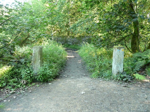
Visitors can enjoy leisure activities such as walking, picnicking, and birdwatching along the reservoir's well-maintained trails. The tranquil ambiance and scenic beauty make it a perfect spot for relaxation and unwinding amidst nature.

Overall, Compensation Reservoir in Yorkshire is a vital water source, flood prevention measure, and a haven for biodiversity, offering a peaceful retreat for both locals and visitors.

If you have any feedback on the listing, please let us know in the comments section below.

Compensation Reservoir Images

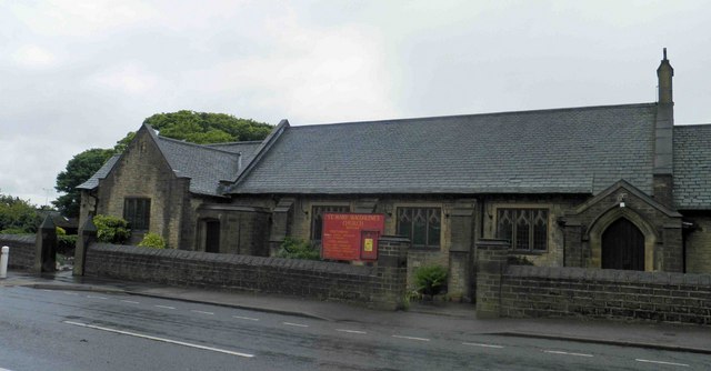
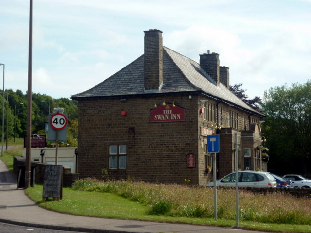
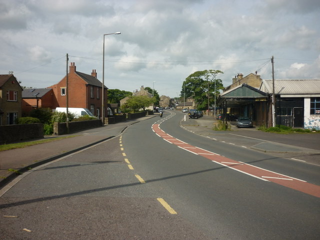
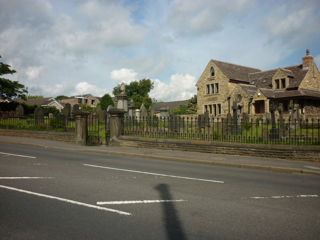
Images are sourced within 2km of 53.652429/-1.8497118 or Grid Reference SE1017. Thanks to Geograph Open Source API. All images are credited.

St. Mary Magdalene's church, Outlane
The 643, Lindley Moor Road
The A640, New Hey Road, goes over the M62
The Swan Inn on New Hey Road, Outlane
New Hey Road, Outlane
A graveyard on New Hey Road, Outlane
Footpath toward Scapegoat Hill School
Footpath to Longwood Reservoir
Path across the golf course, Longwood This path leads to Nettleton Hill via the site of Petty Royd, with a branch up through Pighill Wood.
Path across the golf course, Longwood
This path leads to Nettleton Hill via the site of Petty Royd, with a branch up through Pighill Wood.
Shaw Lane, Longwood An old lane, shown on the 1850 six-inch map, now with a modern concrete surface.
Shaw Lane, Longwood
An old lane, shown on the 1850 six-inch map, now with a modern concrete surface.
Shaw Lane, Longwood The bend at the top of the climb up through Hirst Wood.
Shaw Lane, Longwood
The bend at the top of the climb up through Hirst Wood.
Shaw Lane, Longwood The climb up through Hirst Wood. Paving this lane with setts must have been expensive; was it paid for by the owner of Shaw, or by the township?
Shaw Lane, Longwood
The climb up through Hirst Wood. Paving this lane with setts must have been expensive; was it paid for by the owner of Shaw, or by the township?
Site of Petty Royd, Longwood From the name I assume that this was a farmstead made by clearing woodland in the medieval or early modern period. There is very little of the buildings left now.
Site of Petty Royd, Longwood
From the name I assume that this was a farmstead made by clearing woodland in the medieval or early modern period. There is very little of the buildings left now.
Stone posts at Petty Royd, Longwood It seems likely that these are tenter posts, but not the usual type. The cloth pieces were stretched between the post and a hook on the wall of a weaver's cottage. (information from Ian Beesley via Chris Allen)
Stone posts at Petty Royd, Longwood
It seems likely that these are tenter posts, but not the usual type. The cloth pieces were stretched between the post and a hook on the wall of a weaver's cottage. (information from Ian Beesley via Chris Allen)
Footpath east of Petty Royd, Longwood Eventually this path splits, with one way down to Leys and one along the top side of Longwood Reservoir.
Footpath east of Petty Royd, Longwood
Eventually this path splits, with one way down to Leys and one along the top side of Longwood Reservoir.
Entrance to Hirst Mill, Longwood Not very grand, but presumably there was a gate here at one time.
Entrance to Hirst Mill, Longwood
Not very grand, but presumably there was a gate here at one time.
Footpath in Hirst Wood, Longwood This looks very tidy, with the wall and stile repaired and an edging to the path, which leads onto and across the golf course.
Footpath in Hirst Wood, Longwood
This looks very tidy, with the wall and stile repaired and an edging to the path, which leads onto and across the golf course.
Ruin in the site of Hirst Mill, Longwood  Not enough left to guess what part of the mill this was. Hirst Mill was founded at the end of the 19C, and functioned until the early 20C.
Ruin in the site of Hirst Mill, Longwood
Not enough left to guess what part of the mill this was. Hirst Mill was founded at the end of the 19C, and functioned until the early 20C.
Show me another place!

Compensation Reservoir is located at Grid Ref: SE1017 (Lat: 53.652429, Lng: -1.8497118)

Division: West Riding

Unitary Authority: Kirklees

Police Authority: West Yorkshire

What 3 Words

///liability.number.bumps. Near Holywell Green, West Yorkshire

Related Wikis

Longwood trolleybus turntable

The Longwood trolleybus turntable formed part of the Huddersfield trolleybus system, which served the market town of Huddersfield, in West Yorkshire, England...

Huddersfield New College

Huddersfield New College is a former grammar school and current sixth form college located in Salendine Nook on the outskirts of Huddersfield, in the county...

Salendine Nook High School

Salendine Nook High School Academy is a large secondary school in Huddersfield, West Yorkshire, England. It is adjacent to Huddersfield New College....

Nettleton Hill

Nettleton Hill is a hamlet in the Kirklees district in the English county of West Yorkshire. It is situated west of the town of Huddersfield, north of...

Nearby Amenities

Located within 500m of 53.652429,-1.8497118
Bus Stop
Longwood Dodlee Bank
Local Ref: 45022479
Naptan AtcoCode: 450022479
Naptan Bearing: NW
Naptan CommonName: Longwood Dodlee Bank
Naptan Crossing: Dodlee Lane
Naptan Indicator: Stop 45022479
Naptan Notes: OSR taken place 081205
Naptan PlusbusZoneRef: LEEDS
Naptan ShortCommonName: Dodlee Lane
Naptan Street: Longwood Gate
Naptan Verified: no
Source: naptan_import
Lat/Long: 53.6508378/-1.8435781
Bus Stop
Greenhill Road Dodlee Lane
Local Ref: 45025149
Naptan AtcoCode: 450025149
Naptan Bearing: SE
Naptan CommonName: Greenhill Road Dodlee Lane
Naptan Crossing: Dodlee Lane
Naptan Indicator: Stop 45025149
Naptan Landmark: Turning Circle
Naptan PlusbusZoneRef: LEEDS
Naptan ShortCommonName: Dodlee Lane
Naptan Street: Greenhill Road
Naptan Verified: no
Source: naptan_import
Lat/Long: 53.6509632/-1.84326
Post Box
Operator: Royal Mail
Lat/Long: 53.6509008/-1.8434291
Pub
The Dusty Miller
Lat/Long: 53.6514897/-1.8437954
Barrier: stile
Bicycle: no
Foot: designated
Horse: no
Material: stone
Motor Vehicle: no
Stile: stepover
Lat/Long: 53.6517244/-1.8520958
Turning Circle
Lat/Long: 53.6501452/-1.8435791
Barrier: stile
Bicycle: no
Foot: designated
Horse: no
Material: stone
Motor Vehicle: no
Stile: squeezer
Lat/Long: 53.6535653/-1.8539564
Barrier: stile
Bicycle: no
Foot: designated
Horse: no
Material: stone
Motor Vehicle: no
Stile: stepover
Lat/Long: 53.6526335/-1.8571839
Barrier: stile
Lat/Long: 53.6559071/-1.8516584
Generator Method: photovoltaic
Generator Output Electricity: yes
Generator Source: solar
Generator Type: solar_photovoltaic_panel
Location: roof
Power: generator
Lat/Long: 53.6563045/-1.8459349
Generator Method: photovoltaic
Generator Output Electricity: yes
Generator Source: solar
Generator Type: solar_photovoltaic_panel
Location: roof
Power: generator
Lat/Long: 53.6563172/-1.8460019
Generator Method: photovoltaic
Generator Output Electricity: yes
Generator Source: solar
Generator Type: solar_photovoltaic_panel
Location: roof
Power: generator
Lat/Long: 53.6560406/-1.8487619
Generator Method: photovoltaic
Generator Output Electricity: yes
Generator Source: solar
Generator Type: solar_photovoltaic_panel
Location: roof
Power: generator
Lat/Long: 53.6548866/-1.8451061
Generator Method: photovoltaic
Generator Output Electricity: yes
Generator Source: solar
Generator Type: solar_photovoltaic_panel
Location: roof
Power: generator
Lat/Long: 53.6549215/-1.8452482
Generator Method: photovoltaic
Generator Output Electricity: yes
Generator Source: solar
Generator Type: solar_photovoltaic_panel
Location: roof
Power: generator
Lat/Long: 53.654753/-1.8438803
Generator Method: photovoltaic
Generator Output Electricity: yes
Generator Source: solar
Generator Type: solar_photovoltaic_panel
Location: roof
Power: generator
Lat/Long: 53.6548436/-1.8436791
Generator Method: photovoltaic
Generator Output Electricity: yes
Generator Source: solar
Generator Type: solar_photovoltaic_panel
Location: roof
Power: generator
Lat/Long: 53.6498144/-1.8435674
Generator Method: photovoltaic
Generator Output Electricity: yes
Generator Source: solar
Generator Type: solar_photovoltaic_panel
Location: roof
Power: generator
Lat/Long: 53.6530638/-1.8479073
Barrier: stile
Bicycle: no
Foot: designated
Horse: no
Material: wood
Motor Vehicle: no
Stile: fence
Lat/Long: 53.651637/-1.856529
Barrier: stile
Bicycle: no
Foot: designated
Horse: no
Motor Vehicle: no
Lat/Long: 53.6490022/-1.8518938
Barrier: stile
Bicycle: no
Foot: designated
Horse: no
Motor Vehicle: no
Stile: stepover
Lat/Long: 53.6493822/-1.8490261
Crossing
Lat/Long: 53.6517059/-1.8526706
Barrier: stile
Bicycle: no
Foot: designated
Horse: no
Motor Vehicle: no
Stile: stepover
Lat/Long: 53.6517314/-1.8527976
Barrier: stile
Bicycle: no
Foot: designated
Horse: no
Motor Vehicle: no
Stile: stepover
Lat/Long: 53.6526556/-1.853867
Barrier: stile
Bicycle: no
Foot: designated
Horse: no
Motor Vehicle: no
Stile: stepover
Lat/Long: 53.6542322/-1.8556063
Access: no
Barrier: stile
Bicycle: no
Foot: designated
Horse: no
Material: stone
Motor Vehicle: no
Stile: squeezer
Lat/Long: 53.6555775/-1.8547642
Barrier: stile
Bicycle: no
Foot: designated
Horse: no
Material: stone
Motor Vehicle: no
Stile: stepover
Lat/Long: 53.6537115/-1.8560817
Generator Method: photovoltaic
Generator Output Electricity: yes
Generator Source: solar
Generator Type: solar_photovoltaic_panel
Power: generator
Lat/Long: 53.6551811/-1.8512977
Barrier: stile
Bicycle: no
Foot: designated
Horse: no
Material: stone
Motor Vehicle: no
Stile: stepover
Lat/Long: 53.6524155/-1.8512288
Turning Circle
Lat/Long: 53.6500228/-1.8437427
Power: pole
Lat/Long: 53.6484632/-1.8507034
Power: pole
Lat/Long: 53.648497/-1.8516477
Power: pole
Lat/Long: 53.6489581/-1.850916
Power: pole
Lat/Long: 53.6497717/-1.8512256
Ford: yes
Lat/Long: 53.6480835/-1.8481157
The data included in this document is from www.openstreetmap.org. The data is made available under ODbL.

Have you been to Compensation Reservoir?

Leave your review of Compensation Reservoir below (or comments, questions and feedback).