Dodlee

Settlement in Yorkshire

England

Dodlee

St. Mary Magdalene's church, Outlane
St. Mary Magdalene's church, Outlane Credit: Steve Fareham

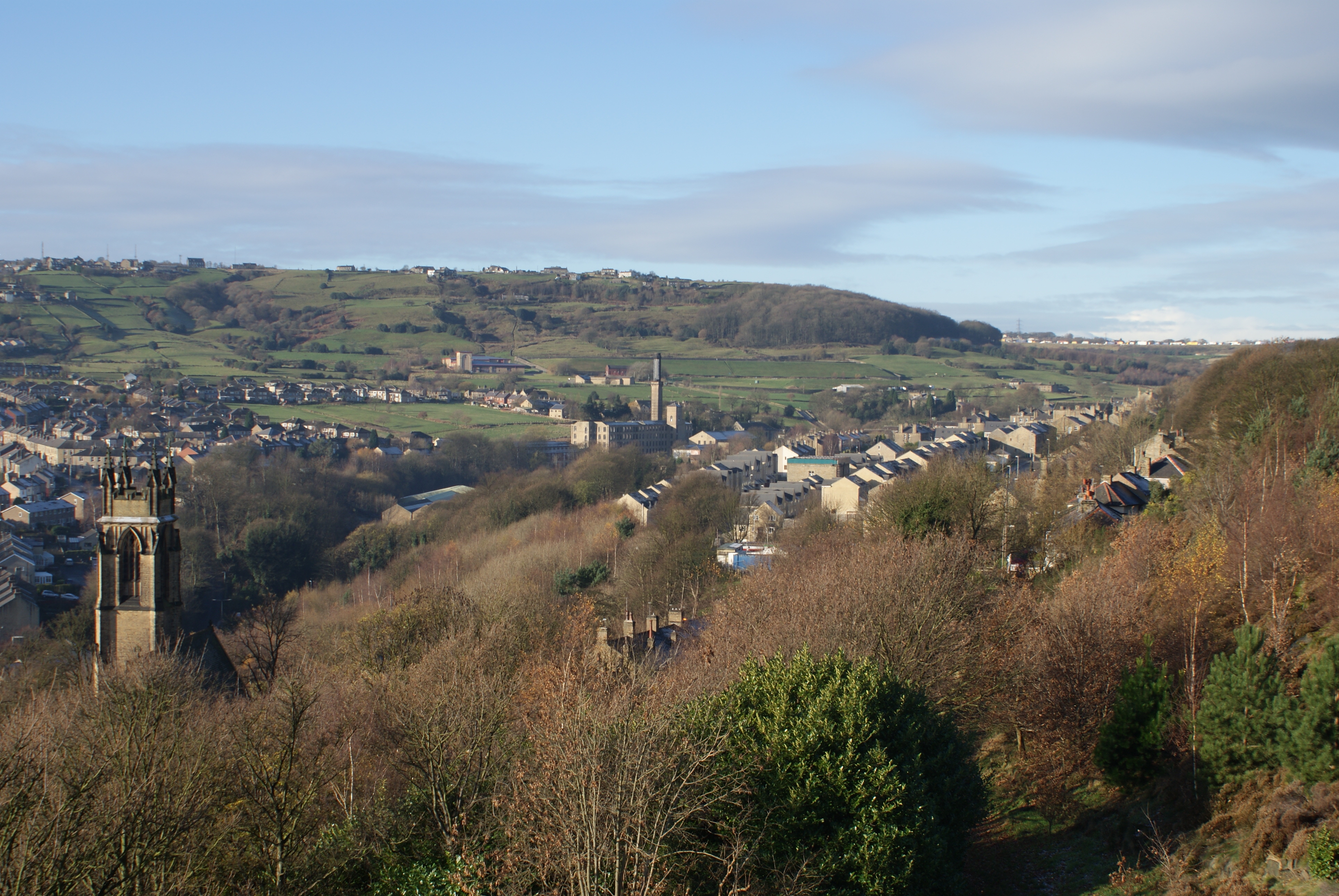
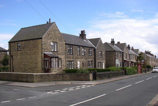
Dodlee is a small village located in the county of Yorkshire, England. Situated in the picturesque countryside, it is known for its stunning natural beauty and peaceful atmosphere. With a population of around 500 residents, Dodlee offers a close-knit community feel.

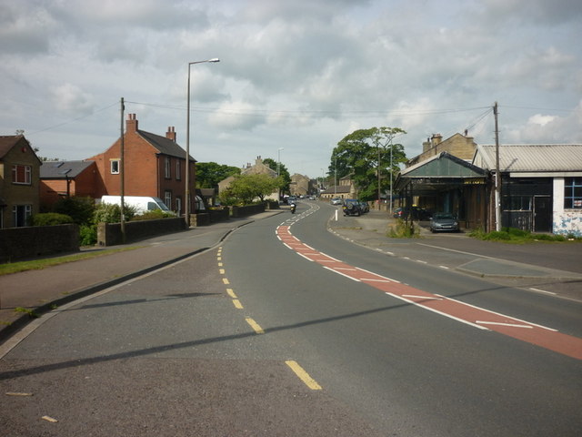
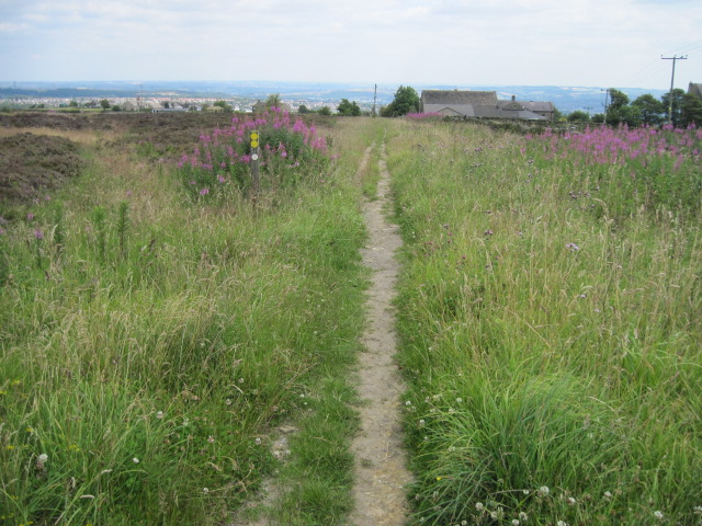
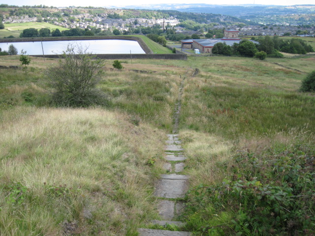
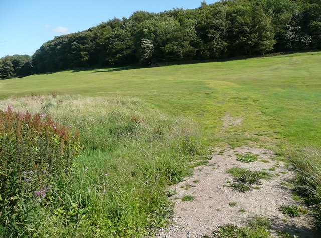
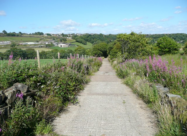
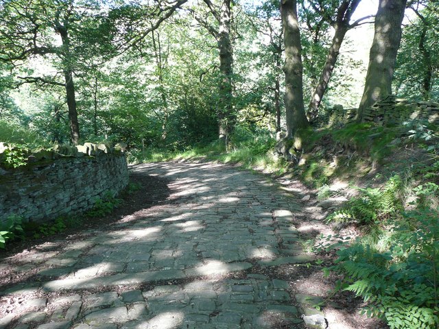
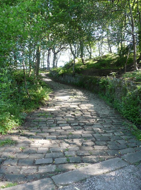
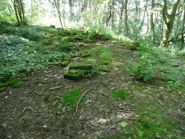
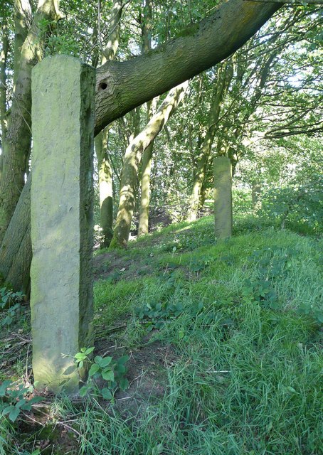
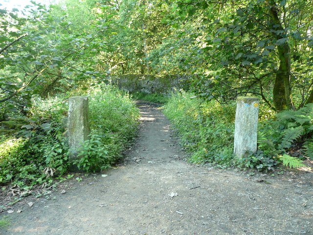
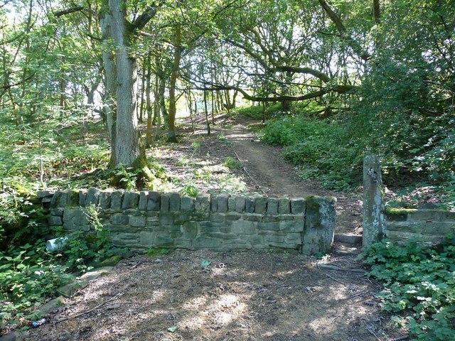
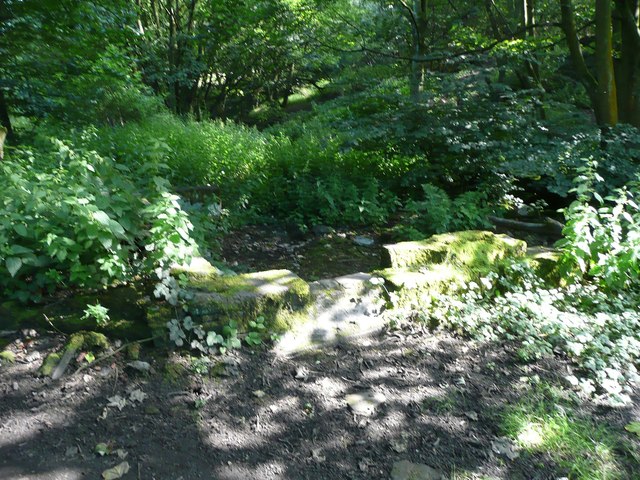
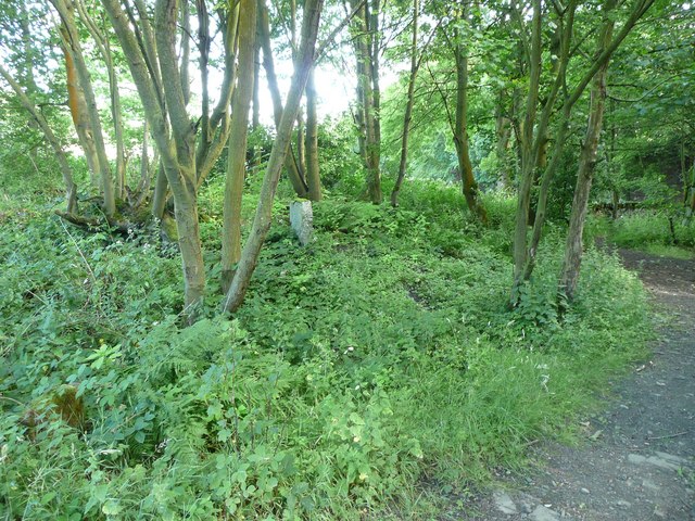
The village is characterized by its charming stone cottages and well-manicured gardens, giving it a traditional English countryside appeal. The surrounding landscape consists of rolling hills, lush green fields, and meandering streams, making it an ideal location for outdoor enthusiasts and nature lovers.

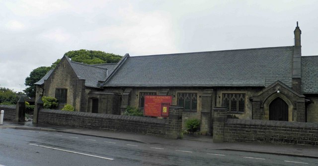
Dodlee boasts a rich history dating back to medieval times, as evidenced by the ancient St. Mary's Church, which stands proudly as a testament to the village's heritage. The church hosts regular services and is also a popular venue for weddings and other special events.

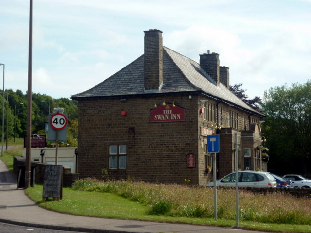
Despite its small size, Dodlee has a few amenities to cater to the needs of its residents. These include a cozy village pub, which serves as a social hub for locals and visitors alike. There is also a primary school, providing education for the village's younger population.

For those seeking recreational activities, Dodlee offers various opportunities. The surrounding countryside provides ample space for hiking, cycling, and picnicking. Additionally, the nearby River Dod is a popular spot for fishing enthusiasts.

Overall, Dodlee is a charming village that offers a tranquil and idyllic lifestyle. Its natural beauty, rich history, and tight-knit community make it a delightful place to visit or reside in.

If you have any feedback on the listing, please let us know in the comments section below.

Dodlee Images

Images are sourced within 2km of 53.650297/-1.845651 or Grid Reference SE1017. Thanks to Geograph Open Source API. All images are credited.

St. Mary Magdalene's church, Outlane
The 643, Lindley Moor Road
The A640, New Hey Road, goes over the M62
The Swan Inn on New Hey Road, Outlane
New Hey Road, Outlane
Footpath toward Scapegoat Hill School
Footpath to Longwood Reservoir
Path across the golf course, Longwood This path leads to Nettleton Hill via the site of Petty Royd, with a branch up through Pighill Wood.
Path across the golf course, Longwood
This path leads to Nettleton Hill via the site of Petty Royd, with a branch up through Pighill Wood.
Shaw Lane, Longwood An old lane, shown on the 1850 six-inch map, now with a modern concrete surface.
Shaw Lane, Longwood
An old lane, shown on the 1850 six-inch map, now with a modern concrete surface.
Shaw Lane, Longwood The bend at the top of the climb up through Hirst Wood.
Shaw Lane, Longwood
The bend at the top of the climb up through Hirst Wood.
Shaw Lane, Longwood The climb up through Hirst Wood. Paving this lane with setts must have been expensive; was it paid for by the owner of Shaw, or by the township?
Shaw Lane, Longwood
The climb up through Hirst Wood. Paving this lane with setts must have been expensive; was it paid for by the owner of Shaw, or by the township?
Site of Petty Royd, Longwood From the name I assume that this was a farmstead made by clearing woodland in the medieval or early modern period. There is very little of the buildings left now.
Site of Petty Royd, Longwood
From the name I assume that this was a farmstead made by clearing woodland in the medieval or early modern period. There is very little of the buildings left now.
Stone posts at Petty Royd, Longwood It seems likely that these are tenter posts, but not the usual type. The cloth pieces were stretched between the post and a hook on the wall of a weaver's cottage. (information from Ian Beesley via Chris Allen)
Stone posts at Petty Royd, Longwood
It seems likely that these are tenter posts, but not the usual type. The cloth pieces were stretched between the post and a hook on the wall of a weaver's cottage. (information from Ian Beesley via Chris Allen)
Footpath east of Petty Royd, Longwood Eventually this path splits, with one way down to Leys and one along the top side of Longwood Reservoir.
Footpath east of Petty Royd, Longwood
Eventually this path splits, with one way down to Leys and one along the top side of Longwood Reservoir.
Entrance to Hirst Mill, Longwood Not very grand, but presumably there was a gate here at one time.
Entrance to Hirst Mill, Longwood
Not very grand, but presumably there was a gate here at one time.
Footpath in Hirst Wood, Longwood This looks very tidy, with the wall and stile repaired and an edging to the path, which leads onto and across the golf course.
Footpath in Hirst Wood, Longwood
This looks very tidy, with the wall and stile repaired and an edging to the path, which leads onto and across the golf course.
Ruin in the site of Hirst Mill, Longwood  Not enough left to guess what part of the mill this was. Hirst Mill was founded at the end of the 19C, and functioned until the early 20C.
Ruin in the site of Hirst Mill, Longwood
Not enough left to guess what part of the mill this was. Hirst Mill was founded at the end of the 19C, and functioned until the early 20C.
Site of Hirst Mill Cottages, Longwood There were two cottages here until the 1950s. Now all that is left is what looks like a gravestone.
Site of Hirst Mill Cottages, Longwood
There were two cottages here until the 1950s. Now all that is left is what looks like a gravestone.
Show me another place!

Dodlee is located at Grid Ref: SE1017 (Lat: 53.650297, Lng: -1.845651)

Division: West Riding

Unitary Authority: Kirklees

Police Authority: West Yorkshire

What 3 Words

///front.daring.woke. Near Holywell Green, West Yorkshire

Related Wikis

Longwood trolleybus turntable

The Longwood trolleybus turntable formed part of the Huddersfield trolleybus system, which served the market town of Huddersfield, in West Yorkshire, England...

Huddersfield New College

Huddersfield New College is a former grammar school and current sixth form college located in Salendine Nook on the outskirts of Huddersfield, in the county...

Salendine Nook High School

Salendine Nook High School Academy is a large secondary school in Huddersfield, West Yorkshire, England. It is adjacent to Huddersfield New College....

Longwood, Huddersfield

Longwood is a village and suburb of the town of Huddersfield in the English county of West Yorkshire. It is situated some 2.5 miles (4.0 km) west of Huddersfield...

Golcar United F.C.

Golcar United Football Club is a football club based in Golcar, Huddersfield, West Yorkshire, England. They are currently members of the Northern Counties...

Quarmby

Quarmby is a district of Huddersfield, West Yorkshire, England. It is situated 2 miles west of Huddersfield town centre between Oakes, Paddock and Longwood...

Salendine Nook

Salendine Nook is an area of Huddersfield in West Yorkshire, England. It is 2 miles (3 km) to the north-west of central Huddersfield, and is bordered to...

Oakes, Huddersfield

Oakes is a district of Huddersfield, West Yorkshire, England. It is situated 2 miles (3 km) to the west of the town centre off the A640 New Hey Road towards...

Nearby Amenities

Located within 500m of 53.650297,-1.845651
Mini Roundabout
Direction: clockwise
Lat/Long: 53.6478412/-1.8433624
Bus Stop
Longwood Gate Edge Terrace
Local Ref: 45022477
Naptan AtcoCode: 450022477
Naptan Bearing: SE
Naptan CommonName: Longwood Gate Edge Terrace
Naptan Crossing: Edge Terrace
Naptan Indicator: Stop 45022477
Naptan PlusbusZoneRef: LEEDS
Naptan ShortCommonName: Edge Terrace
Naptan Street: Longwood Gate
Naptan Verified: no
Source: naptan_import
Lat/Long: 53.64954/-1.8409657
Bus Stop
Longwood Gate Edge Terrace
Bus: yes
Local Ref: 45022478
Naptan AtcoCode: 450022478
Naptan Bearing: NW
Naptan CommonName: Longwood Gate Edge Terrace
Naptan Crossing: Edge Terrace
Naptan Indicator: Stop 45022478
Naptan Notes: Converted to a Dummy Stop for route building, A/n 22477 opp is a BD stop.
Naptan PlusbusZoneRef: LEEDS
Naptan ShortCommonName: Edge Terrace
Naptan Street: Longwood Gate
Naptan Verified: no
Public Transport: platform
Source: naptan_import
Lat/Long: 53.6495454/-1.8411384
Bus Stop
Longwood Dodlee Bank
Local Ref: 45022479
Naptan AtcoCode: 450022479
Naptan Bearing: NW
Naptan CommonName: Longwood Dodlee Bank
Naptan Crossing: Dodlee Lane
Naptan Indicator: Stop 45022479
Naptan Notes: OSR taken place 081205
Naptan PlusbusZoneRef: LEEDS
Naptan ShortCommonName: Dodlee Lane
Naptan Street: Longwood Gate
Naptan Verified: no
Source: naptan_import
Lat/Long: 53.6508378/-1.8435781
Bus Stop
Greenhill Road Dodlee Lane
Local Ref: 45025149
Naptan AtcoCode: 450025149
Naptan Bearing: SE
Naptan CommonName: Greenhill Road Dodlee Lane
Naptan Crossing: Dodlee Lane
Naptan Indicator: Stop 45025149
Naptan Landmark: Turning Circle
Naptan PlusbusZoneRef: LEEDS
Naptan ShortCommonName: Dodlee Lane
Naptan Street: Greenhill Road
Naptan Verified: no
Source: naptan_import
Lat/Long: 53.6509632/-1.84326
Post Box
Operator: Royal Mail
Lat/Long: 53.6509008/-1.8434291
Pub
The Dusty Miller
Lat/Long: 53.6514897/-1.8437954
Barrier: stile
Bicycle: no
Foot: designated
Horse: no
Material: stone
Motor Vehicle: no
Stile: stepover
Lat/Long: 53.6517244/-1.8520958
Turning Circle
Lat/Long: 53.6501452/-1.8435791
Parkwood Mills
Building: apartments
Lat/Long: 53.6478861/-1.8441503
Generator Method: photovoltaic
Generator Output Electricity: yes
Generator Source: solar
Generator Type: solar_photovoltaic_panel
Location: roof
Power: generator
Lat/Long: 53.6458775/-1.8453779
Generator Method: photovoltaic
Generator Output Electricity: yes
Generator Source: solar
Generator Type: solar_photovoltaic_panel
Location: roof
Power: generator
Lat/Long: 53.64631/-1.8491169
Generator Method: photovoltaic
Generator Output Electricity: yes
Generator Source: solar
Generator Type: solar_photovoltaic_panel
Location: roof
Power: generator
Lat/Long: 53.6463327/-1.8490674
Generator Method: photovoltaic
Generator Output Electricity: yes
Generator Source: solar
Generator Type: solar_photovoltaic_panel
Location: roof
Power: generator
Lat/Long: 53.6498144/-1.8435674
Generator Method: photovoltaic
Generator Output Electricity: yes
Generator Source: solar
Generator Type: solar_photovoltaic_panel
Location: roof
Power: generator
Lat/Long: 53.6530638/-1.8479073
Barrier: stile
Bicycle: no
Foot: designated
Horse: no
Motor Vehicle: no
Lat/Long: 53.6490022/-1.8518938
Barrier: stile
Bicycle: no
Foot: designated
Horse: no
Motor Vehicle: no
Stile: stepover
Lat/Long: 53.6493822/-1.8490261
Crossing
Lat/Long: 53.6517059/-1.8526706
Barrier: stile
Bicycle: no
Foot: designated
Horse: no
Motor Vehicle: no
Stile: stepover
Lat/Long: 53.6517314/-1.8527976
Barrier: stile
Bicycle: no
Foot: designated
Horse: no
Material: stone
Motor Vehicle: no
Stile: stepover
Lat/Long: 53.6524155/-1.8512288
Turning Circle
Lat/Long: 53.6500228/-1.8437427
Leisure: playground
Lat/Long: 53.6487939/-1.8427318
Generator Method: photovoltaic
Generator Output Electricity: yes
Generator Source: solar
Generator Type: solar_photovoltaic_panel
Power: generator
Lat/Long: 53.6490072/-1.8397754
Parking
Parking: surface
Lat/Long: 53.6491421/-1.8398198
Power: pole
Lat/Long: 53.6484632/-1.8507034
Power: pole
Lat/Long: 53.648497/-1.8516477
Power: pole
Lat/Long: 53.6489581/-1.850916
Power: pole
Lat/Long: 53.6497717/-1.8512256
Power: pole
Lat/Long: 53.6471733/-1.8501647
Power: pole
Lat/Long: 53.6470605/-1.8490754
Ford: yes
Lat/Long: 53.6480835/-1.8481157
Barrier: yes
Foot: yes
Lat/Long: 53.6464846/-1.8452248
The data included in this document is from www.openstreetmap.org. The data is made available under ODbL.

Have you been to Dodlee?

Leave your review of Dodlee below (or comments, questions and feedback).