Great Haseley

Settlement in Oxfordshire South Oxfordshire

England

Great Haseley

Farmland, Great Milton Orpwoods Farm is seen from the footpath alongside the M40 near Trindalls Farm.
Farmland, Great Milton Credit: Andrew Smith

Great Haseley is a picturesque village located in the county of Oxfordshire, England. Situated approximately 8 miles southeast of the city of Oxford, it falls within the district of South Oxfordshire. This rural village is known for its charming countryside setting and historical significance.

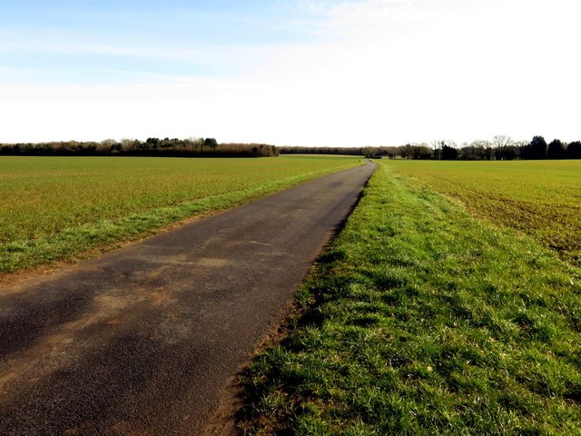
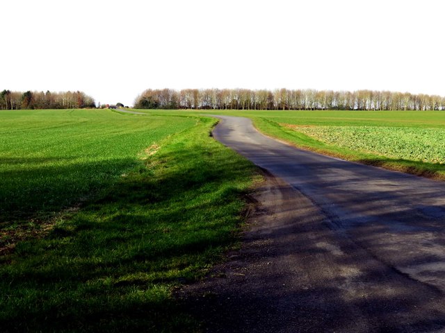
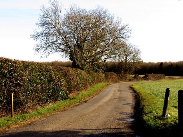
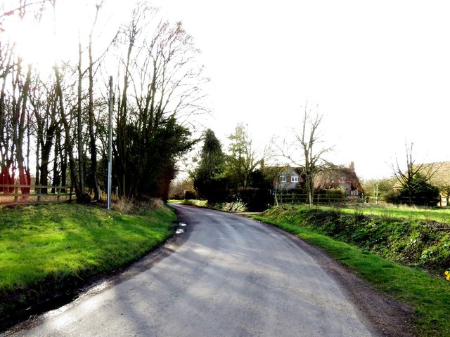
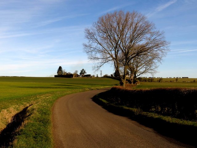
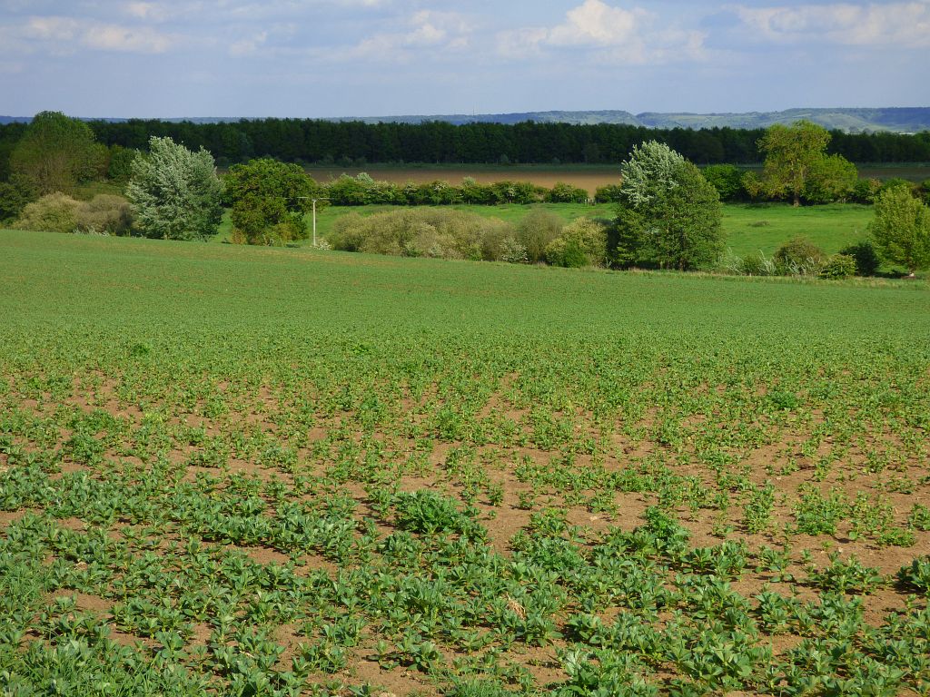
Great Haseley is characterized by its traditional Cotswold stone houses and well-manicured gardens, which contribute to its quintessential English village atmosphere. The village is surrounded by rolling hills and expansive fields, offering stunning views of the Oxfordshire landscape.

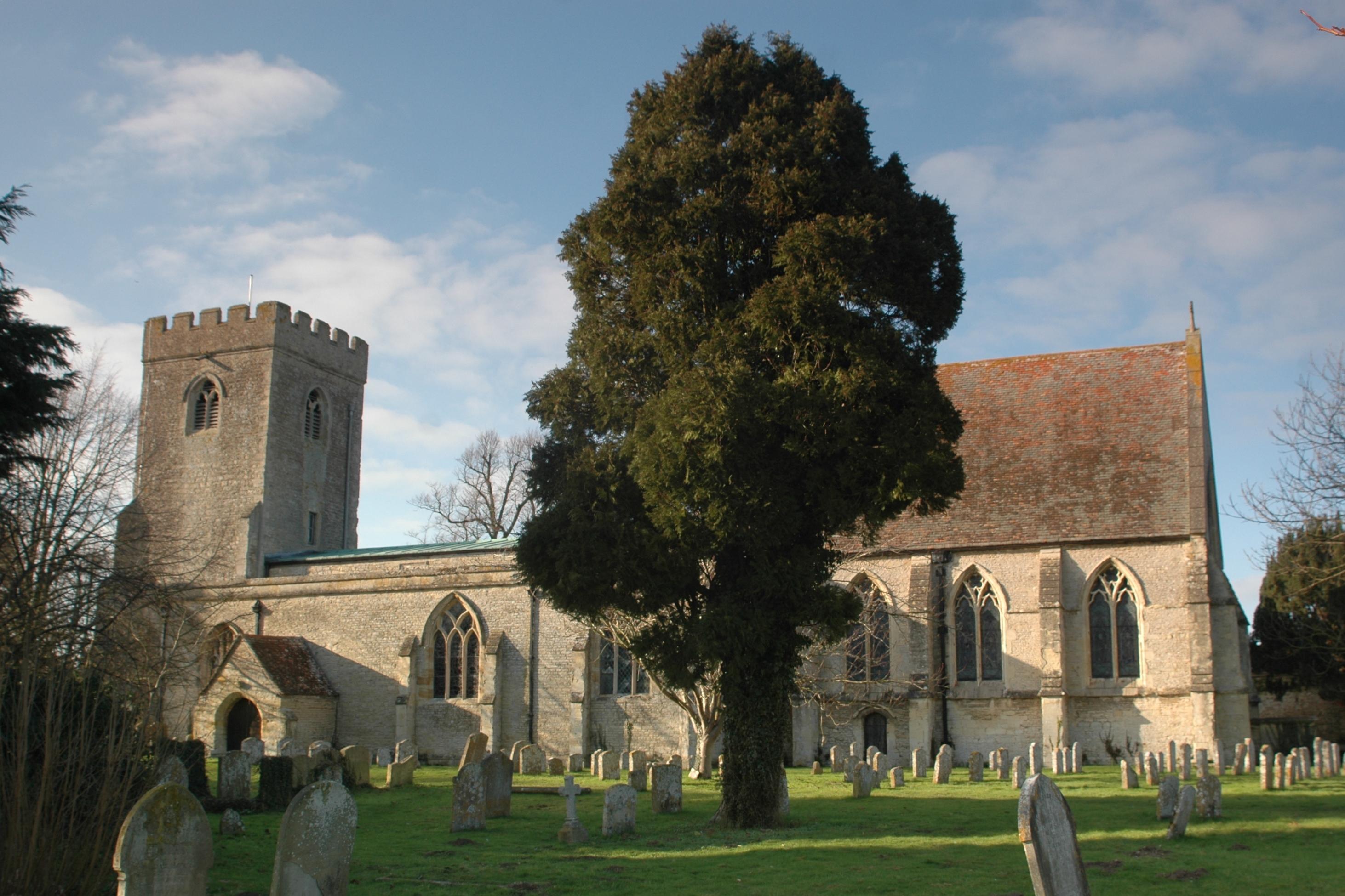
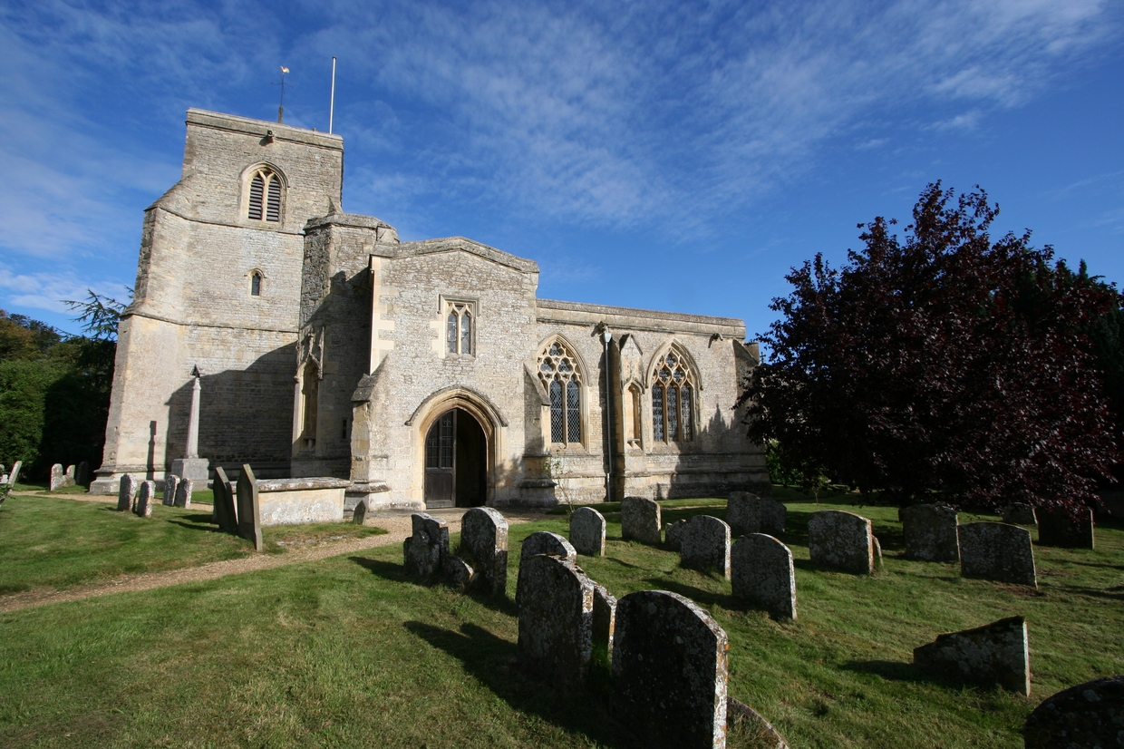
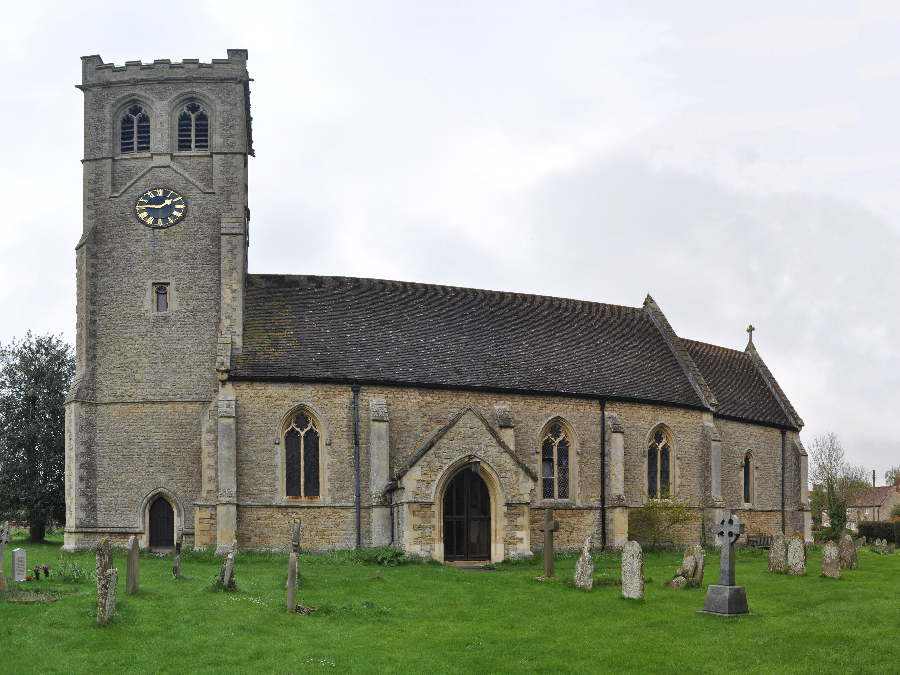
One of the notable landmarks in Great Haseley is the St. Peter's Church, a beautiful medieval church that dates back to the 13th century. The church features an impressive tower and stunning stained glass windows, adding to the village's architectural charm.

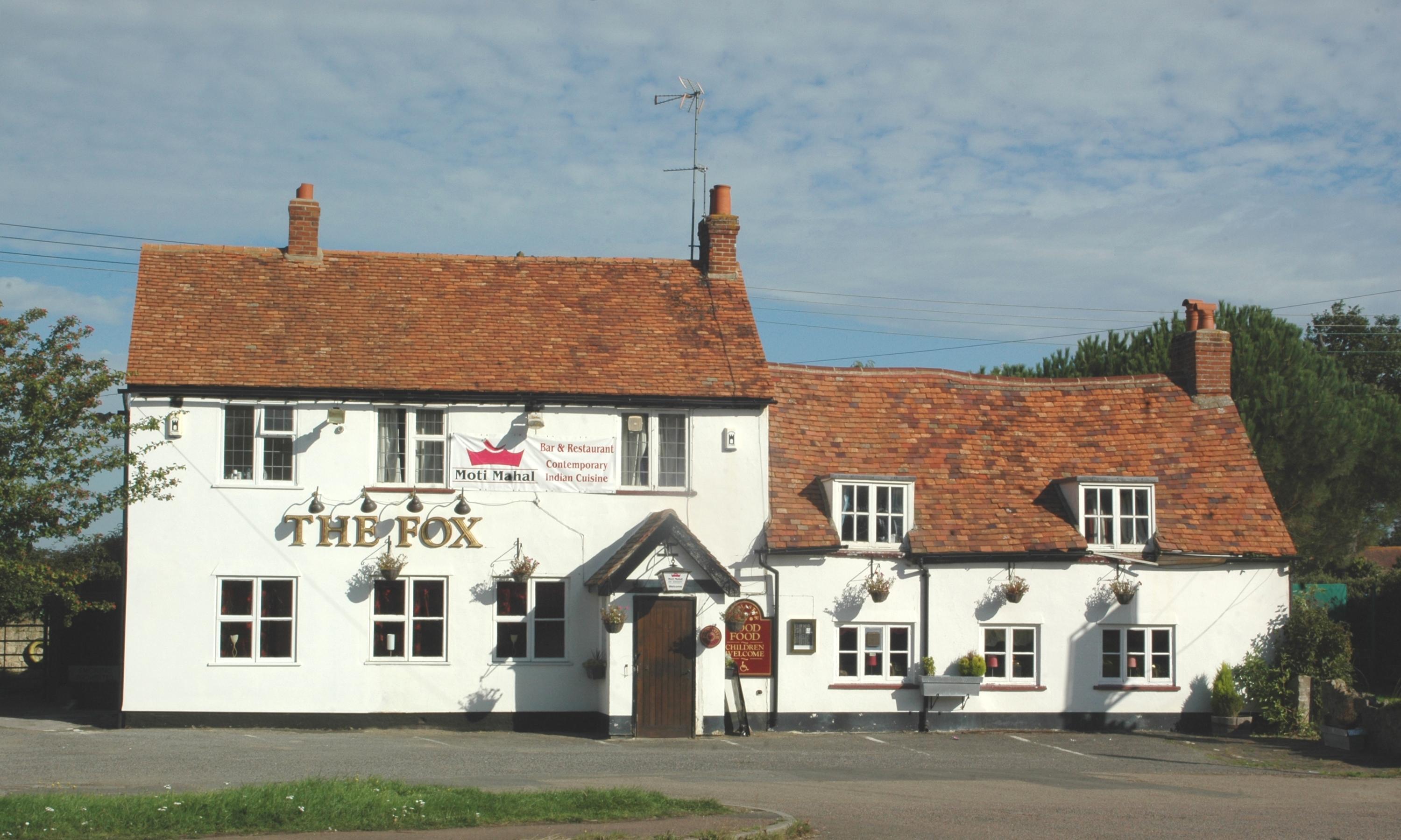
The village also boasts a vibrant sense of community, with a local pub, The Plough, serving as a gathering place for residents. Additionally, Great Haseley hosts various community events and activities throughout the year, including a summer fete and a village show.

Great Haseley's location provides easy access to the nearby city of Oxford, which offers a range of amenities, including shopping centers, restaurants, and cultural attractions. The village is well-connected by road, with the M40 motorway just a short drive away, making it accessible for commuters.

Overall, Great Haseley is a picturesque and idyllic village that combines natural beauty with historical charm, making it a desirable place to live or visit for those seeking a peaceful and traditional English village experience.

If you have any feedback on the listing, please let us know in the comments section below.

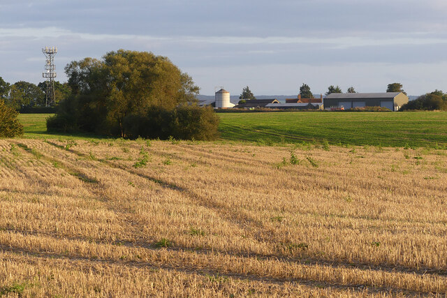
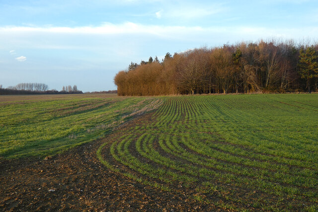
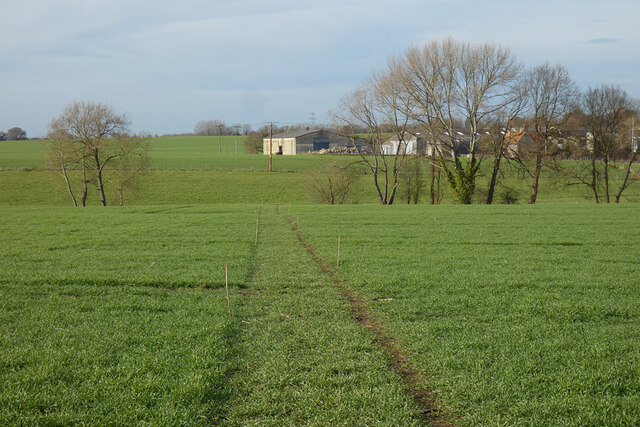
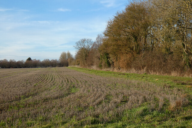
Great Haseley Images

Images are sourced within 2km of 51.711268/-1.076971 or Grid Reference SP6301. Thanks to Geograph Open Source API. All images are credited.

Farmland, Great Milton Orpwoods Farm is seen from the footpath alongside the M40 near Trindalls Farm.
Farmland, Great Milton
Orpwoods Farm is seen from the footpath alongside the M40 near Trindalls Farm.
Le Manoir Le Manoir aux Quat'Saisons hotel and restaurant
Le Manoir
Le Manoir aux Quat'Saisons hotel and restaurant
Pasture, Great Milton A field of ridge and furrow to the south of Harrington Field Farm.
Pasture, Great Milton
A field of ridge and furrow to the south of Harrington Field Farm.
Farmland, Great Haseley A footpath follows the edge of this field to the north of village.
Farmland, Great Haseley
A footpath follows the edge of this field to the north of village.
Farmland, Great Haseley A redundant stile on a footpath approaching the church from Latchford Lane.
Farmland, Great Haseley
A redundant stile on a footpath approaching the church from Latchford Lane.
Copse and farmland, Great Haseley A flat landscape beside the road to the west of Little Haseley.
Copse and farmland, Great Haseley
A flat landscape beside the road to the west of Little Haseley.
Farmland, Pyrton A footpath crossing arable fields and pasture to the south of Peggs Farm.
Farmland, Pyrton
A footpath crossing arable fields and pasture to the south of Peggs Farm.
Farmland, Great Haseley Permissive footpaths follow the southern and, here, the eastern edges of a field of stubble to the south of Little Haseley.
Farmland, Great Haseley
Permissive footpaths follow the southern and, here, the eastern edges of a field of stubble to the south of Little Haseley.
Farmland, Great Milton With a footpath approaching Chilworth Road from the west.
Farmland, Great Milton
With a footpath approaching Chilworth Road from the west.
Farmland, Great Haseley Barley beside the bridleway at Sands Farm.
Farmland, Great Haseley
Barley beside the bridleway at Sands Farm.
Great Haseley Windmill
A rural road to Little Haseley
A field near Little Haseley
A rural road to Little HaseleyMilton
A rural road to Little Haseley
Thame Road into Little Haseley
Footpath to Great Haseley
The road to Milton Common
Show me another place!

Great Haseley is located at Grid Ref: SP6301 (Lat: 51.711268, Lng: -1.076971)

Administrative County: Oxfordshire

District: South Oxfordshire

Police Authority: Thames Valley

What 3 Words

///pull.patrol.clerk. Near Chalgrove, Oxfordshire

Related Wikis

Great Haseley

Great Haseley is a village and civil parish in South Oxfordshire, England. The village is about 4.5 miles (7 km) southwest of Thame. The parish includes...

Great Milton

Great Milton is a village and civil parish in Oxfordshire, about 7 miles (11 km) east of Oxford. The 2011 Census recorded the parish's population as 1...

Wells Farm

Wells Farm is a 64-hectare (160-acre) nature reserve on the eastern outskirts of Little Milton in Oxfordshire. It is managed by the Berkshire, Buckinghamshire...

Little Milton, Oxfordshire

Little Milton is a village and civil parish in Oxfordshire, about 6 miles (10 km) southwest of Thame and 7 miles (11 km) southeast of Oxford. The parish...

Tiddington railway station

Tiddington railway station was on the Wycombe Railway and served the village of Tiddington, Oxfordshire. On 24 October 1864 the Wycombe Railway opened...

Cuddesdon and Denton

Cuddesdon and Denton is a civil parish in the county of Oxfordshire, England. Forming part of South Oxfordshire district its main settlements are Cuddesdon...

Oxford MSA

Oxford services is a motorway service station next to junction 8A of the M40 motorway at Waterstock near Wheatley in Oxfordshire, several miles to the...

Tiddington, Oxfordshire

Tiddington is a village in the civil parish of Tiddington-with-Albury, in the South Oxfordshire district, in Oxfordshire, England. It is about 3+1⁄2 miles...

Nearby Amenities

Located within 500m of 51.711268,-1.076971
Great Haseley
Place: village
Wikidata: Q1941220
Wikipedia: en:Great Haseley
Lat/Long: 51.7108991/-1.0702833
Turning Circle
Turning Circle: square
Lat/Long: 51.711926/-1.0752619
Power: tower
Lat/Long: 51.7073649/-1.076564
Power: tower
Lat/Long: 51.7075658/-1.0805323
Horse Close Cottages
Naptan AtcoCode: 340000356HC
Naptan Bearing: W
Naptan BusStopType: CUS
Naptan CommonName: Horse Close Cottages
Naptan Indicator: Corner
Naptan Landmark: Horse Close
Naptan NaptanCode: oxfajwmd
Naptan Street: Rectorty Road
Naptan Verified: no
Source: naptan_import
Lat/Long: 51.7112387/-1.0768666
Bus Stop
Horse Close Cottages
Bus: yes
Naptan AtcoCode: 340000356OHC
Naptan Bearing: E
Naptan CommonName: Horse Close Cottages
Naptan Indicator: Opposite
Naptan Landmark: Horse Close
Naptan NaptanCode: oxfajwma
Naptan Street: Rectorty Road
Naptan Verified: no
Public Transport: platform
Source: naptan_import
Lat/Long: 51.7113547/-1.0767485
Bus Stop
Back Way
Bus: yes
Naptan AtcoCode: 340001695BT
Naptan Bearing: E
Naptan CommonName: Back Way
Naptan Indicator: Corner
Naptan Landmark: The Old Rectory
Naptan NaptanCode: oxfgatmd
Naptan Street: Rectory Road
Naptan Verified: no
Public Transport: platform
Source: naptan_import
Lat/Long: 51.711869/-1.0724102
Back Way
Naptan AtcoCode: 340001695OBT
Naptan Bearing: W
Naptan BusStopType: CUS
Naptan CommonName: Back Way
Naptan Indicator: Opposite
Naptan Landmark: The Old Rectory
Naptan NaptanCode: oxfgatga
Naptan Street: Rectory Road
Naptan Verified: no
Source: naptan_import
Lat/Long: 51.7117791/-1.0724121
Bus Stop
Rectory Road Top
Bus: yes
Naptan AtcoCode: 340001696BWC
Naptan Bearing: SE
Naptan CommonName: Rectory Road Top
Naptan Indicator: Back Way Corner
Naptan Landmark: Cobbhall Cottage
Naptan NaptanCode: oxfgatdw
Naptan Street: Rectory Road
Naptan Verified: no
Public Transport: platform
Source: naptan_import
Lat/Long: 51.7121089/-1.0800477
Rectory Road Top
Naptan AtcoCode: 340001696OBW
Naptan Bearing: NW
Naptan BusStopType: CUS
Naptan CommonName: Rectory Road Top
Naptan Indicator: Opposite Back Way
Naptan Landmark: Cobbhall Cottage
Naptan NaptanCode: oxfgatdt
Naptan Street: Rectory Road
Naptan Verified: no
Source: naptan_import
Lat/Long: 51.7120918/-1.0801639
Power: pole
Source: Bing
Lat/Long: 51.7132067/-1.0728436
Power: pole
Source: Bing
Lat/Long: 51.7136538/-1.074659
Power: pole
Source: Bing
Lat/Long: 51.7137584/-1.0756863
Power: pole
Source: Bing
Lat/Long: 51.7143725/-1.0799606
Power: pole
Source: Bing
Lat/Long: 51.7140908/-1.0790149
Power: pole
Source: Bing
Lat/Long: 51.7146619/-1.0809157
Power: pole
Source: Bing
Lat/Long: 51.7136081/-1.0731106
Power: pole
Source: Bing
Lat/Long: 51.7139826/-1.0779736
Power: pole
Source: Bing
Lat/Long: 51.7136273/-1.0737576
Power: pole
Source: Bing
Lat/Long: 51.7138719/-1.0768128
Barrier: stile
Lat/Long: 51.7136178/-1.0730448
Power: pole
Lat/Long: 51.7069243/-1.0767237
Power: pole
Lat/Long: 51.7070838/-1.0779724
Power: pole
Lat/Long: 51.7074067/-1.0759577
Power: pole
Lat/Long: 51.7079067/-1.0751633
Power: pole
Lat/Long: 51.7083923/-1.0743695
Direction: 180
Generator Method: photovoltaic
Generator Output Electricity: yes
Generator Solar Modules: 12
Generator Source: solar
Generator Type: solar_photovoltaic_panel
Location: roof
Power: generator
Lat/Long: 51.7119887/-1.0747115
The data included in this document is from www.openstreetmap.org. The data is made available under ODbL.

Have you been to Great Haseley?

Leave your review of Great Haseley below (or comments, questions and feedback).