Haseley Wood
Wood, Forest in Oxfordshire South Oxfordshire
England
Haseley Wood

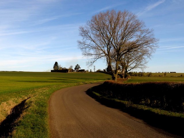
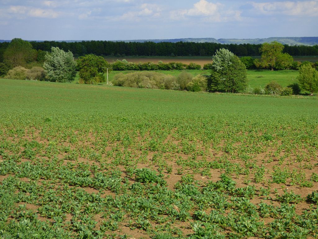
Haseley Wood is a picturesque woodland located in Oxfordshire, England. Covering an area of approximately 200 acres, it is a beautiful natural gem nestled within the Chiltern Hills, just a few miles southeast of the town of Wheatley. The woodland is part of the wider Shotover Estate, which is managed by the Forestry Commission.
Haseley Wood is predominantly made up of ancient beech trees, which provide a stunning canopy of greenery throughout the year. The woodland boasts an abundance of wildlife, including deer, badgers, foxes, and various bird species, making it a popular spot for nature enthusiasts and photographers.
The woodland features a network of well-maintained footpaths, allowing visitors to explore and enjoy the tranquil surroundings. Walking through Haseley Wood, visitors can discover hidden ponds, meadows, and wildflowers, adding to the enchantment of the area. The wood also offers stunning views over the surrounding Oxfordshire countryside.
Haseley Wood is a popular destination for outdoor activities, including hiking, dog walking, and picnicking. It provides a peaceful escape from the hustle and bustle of everyday life, offering a serene and calm atmosphere for visitors to unwind and connect with nature.
Overall, Haseley Wood is a cherished natural asset in Oxfordshire, offering a diverse and stunning landscape for people to enjoy and appreciate the beauty of the British countryside.
If you have any feedback on the listing, please let us know in the comments section below.
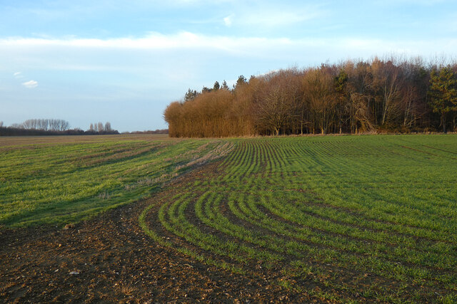
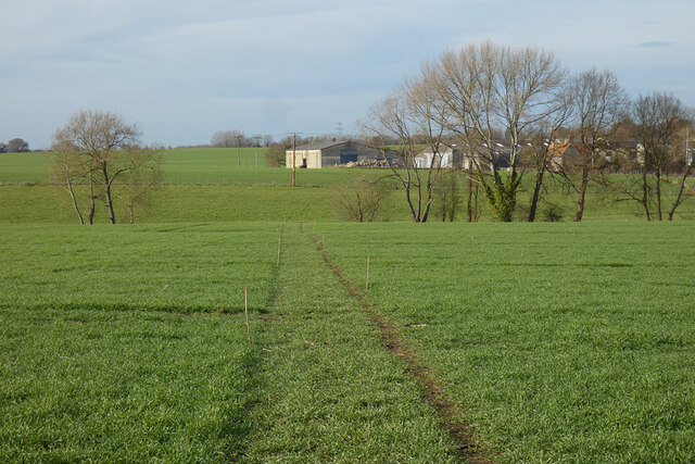
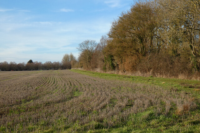
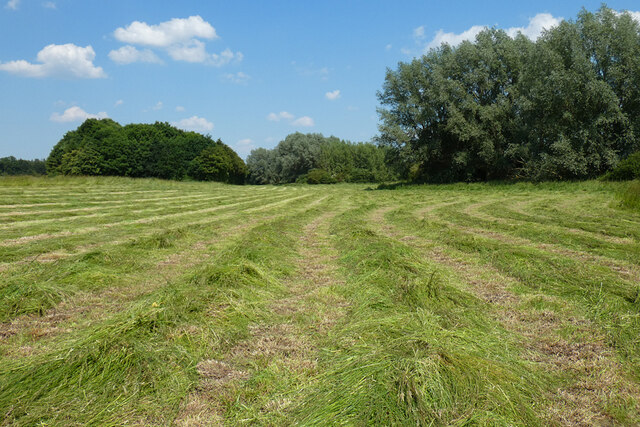
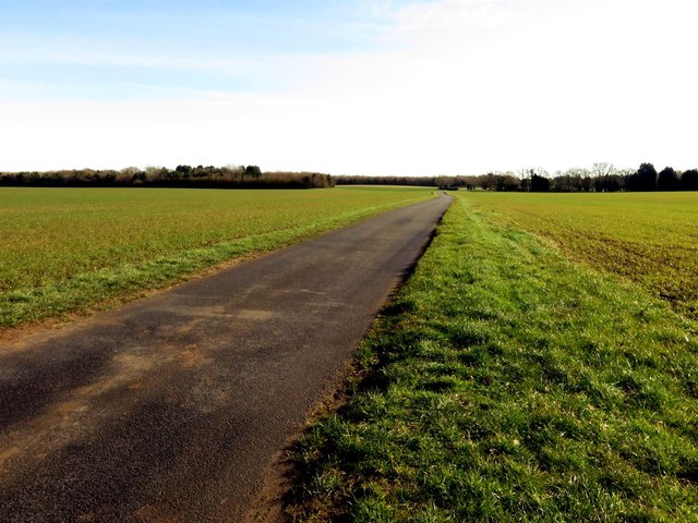
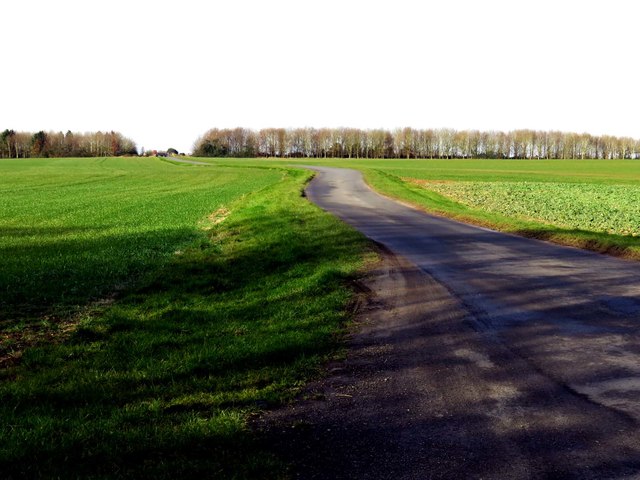
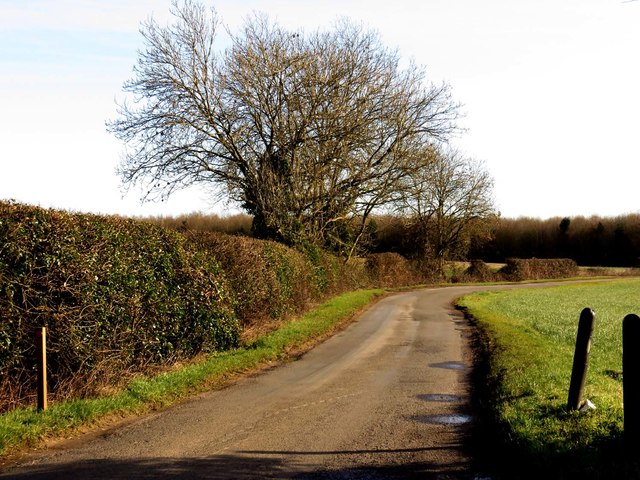
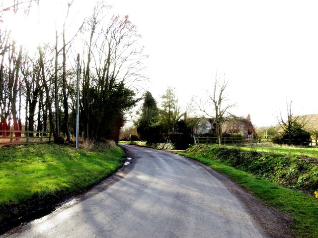
Haseley Wood Images
Images are sourced within 2km of 51.706427/-1.0819213 or Grid Reference SP6301. Thanks to Geograph Open Source API. All images are credited.


Haseley Wood is located at Grid Ref: SP6301 (Lat: 51.706427, Lng: -1.0819213)
Administrative County: Oxfordshire
District: South Oxfordshire
Police Authority: Thames Valley
What 3 Words
///parting.includes.legroom. Near Chalgrove, Oxfordshire
Nearby Locations
Related Wikis
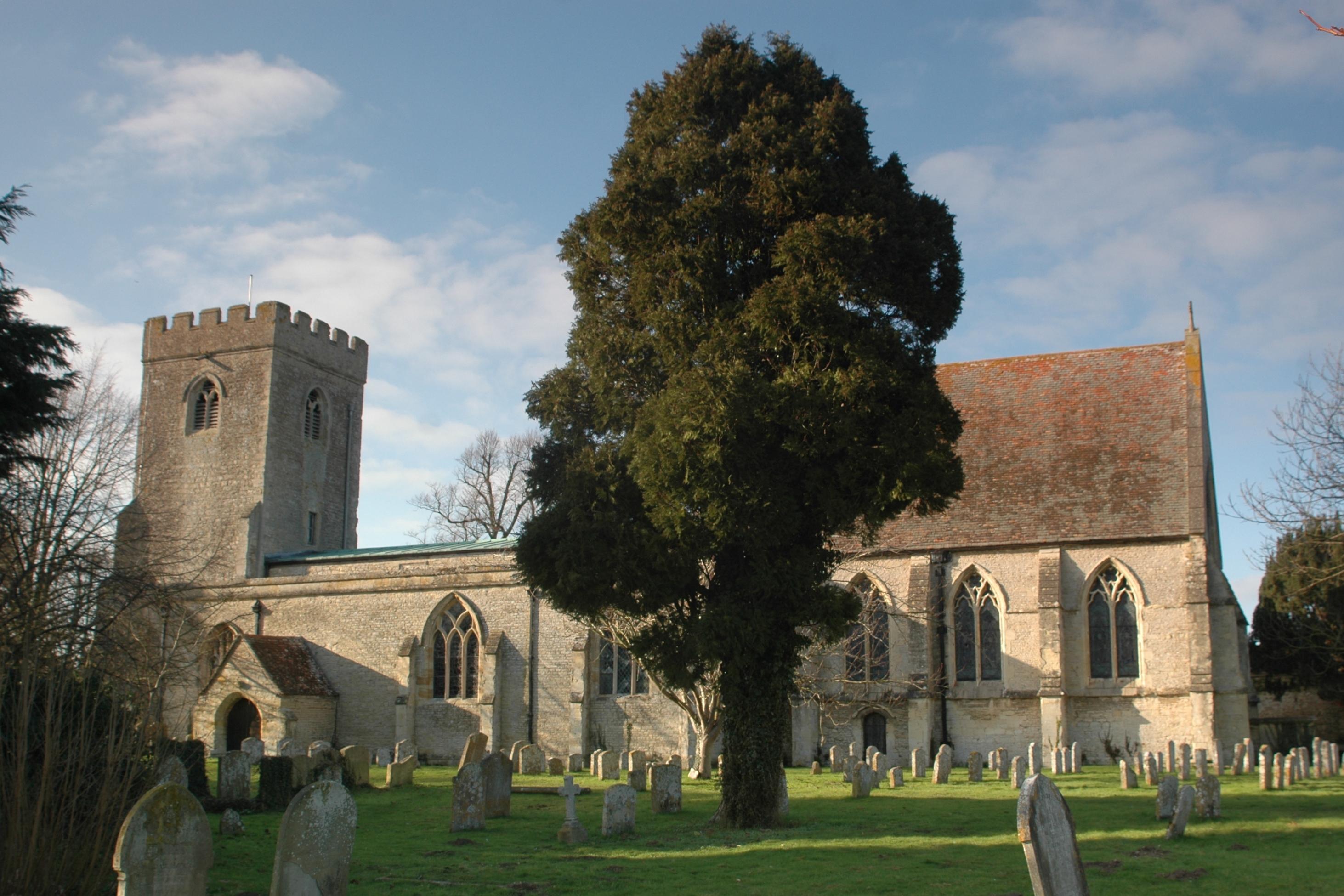
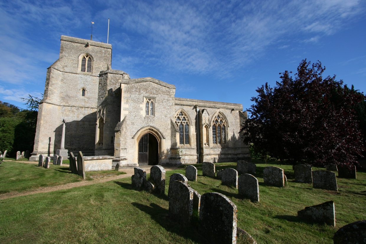
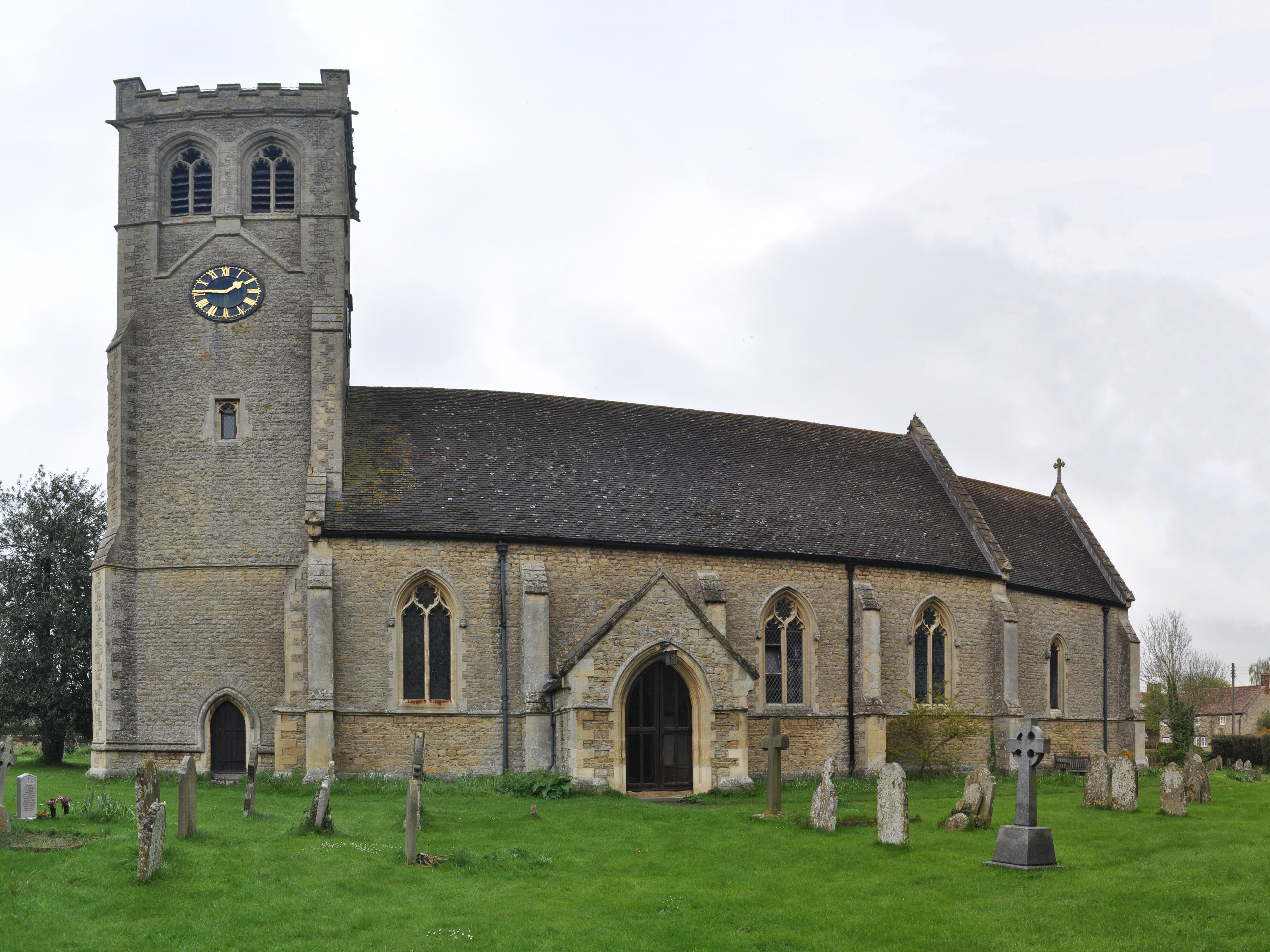
Great Haseley
Great Haseley is a village and civil parish in South Oxfordshire, England. The village is about 4.5 miles (7 km) southwest of Thame. The parish includes...
Wells Farm
Wells Farm is a 64-hectare (160-acre) nature reserve on the eastern outskirts of Little Milton in Oxfordshire. It is managed by the Berkshire, Buckinghamshire...
Great Milton
Great Milton is a village and civil parish in Oxfordshire, about 7 miles (11 km) east of Oxford. The 2011 Census recorded the parish's population as 1...
Little Milton, Oxfordshire
Little Milton is a village and civil parish in Oxfordshire, about 6 miles (10 km) southwest of Thame and 7 miles (11 km) southeast of Oxford. The parish...

Cuddesdon and Denton
Cuddesdon and Denton is a civil parish in the county of Oxfordshire, England. Forming part of South Oxfordshire district its main settlements are Cuddesdon...
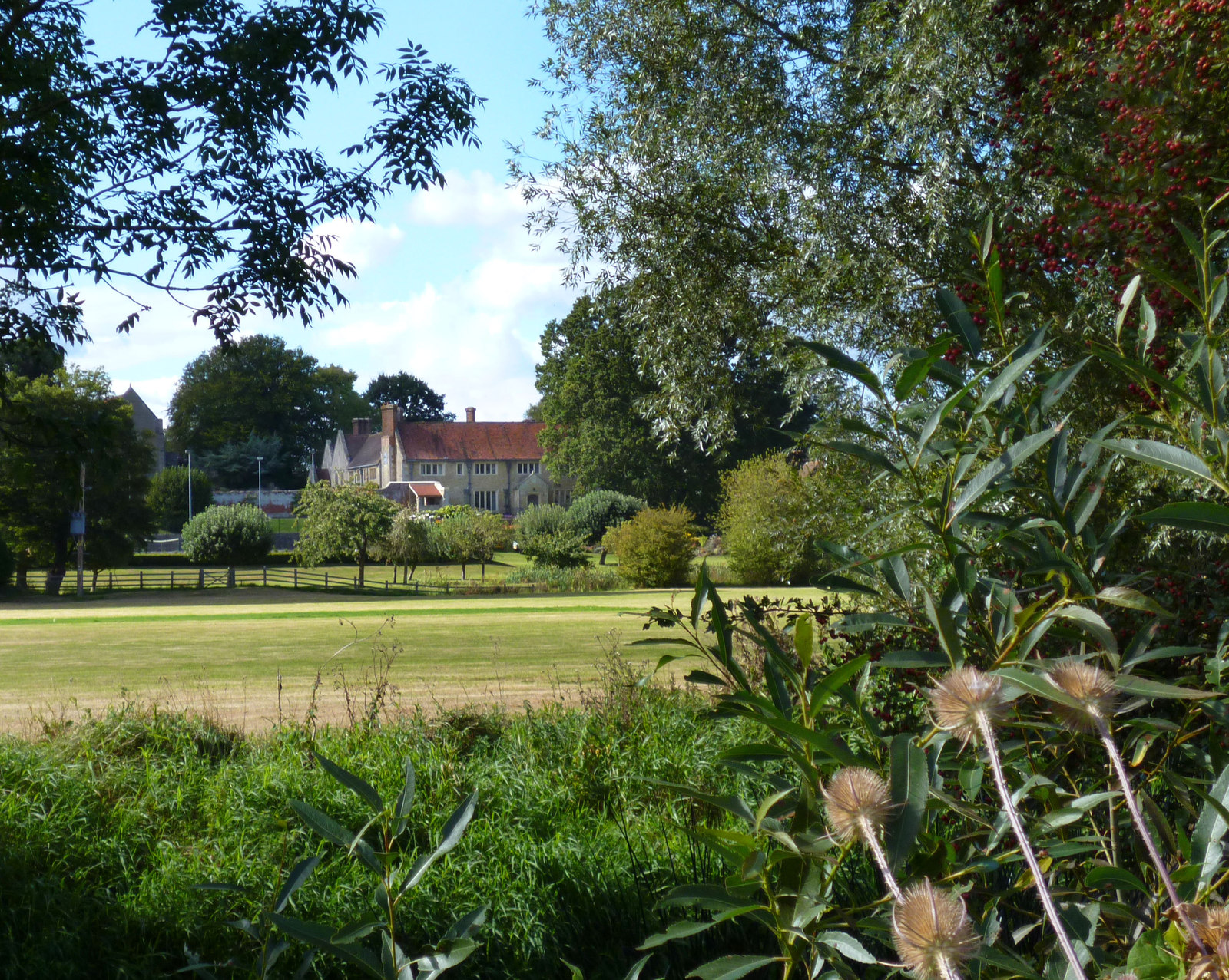
Chippinghurst Manor
Chippinghurst Manor is a Grade II listed country house in Oxfordshire, England.The name of "Chippinghurst" manor means "the hill of Cibba" and appeared...
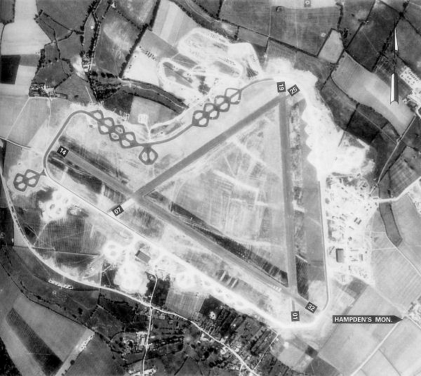
Chalgrove Airfield
Chalgrove Airfield (ICAO: EGLJ) is a former Second World War airfield in Oxfordshire, England. It is approximately 3 mi (4.8 km) north-northeast of Benson...

Oxford MSA
Oxford services is a motorway service station next to junction 8A of the M40 motorway at Waterstock near Wheatley in Oxfordshire, several miles to the...
Nearby Amenities
Located within 500m of 51.706427,-1.0819213Have you been to Haseley Wood?
Leave your review of Haseley Wood below (or comments, questions and feedback).