Harwood, Great

Settlement in Lancashire Hyndburn

England

Harwood, Great

Checco's Pizzeria
Checco's Pizzeria Credit: Anthony Parkes

Harwood is a small village located in the borough of Bolton, in the county of Greater Manchester, England. It is situated in the region of Great Harwood, within the larger area of Lancashire. Harwood is nestled between the towns of Bury and Bolton, and it is approximately 10 miles north of Manchester city center.

The village is known for its quaint and picturesque setting, with a mix of charming cottages, modern houses, and green open spaces. Harwood is surrounded by beautiful countryside, offering residents and visitors the opportunity to enjoy peaceful walks and outdoor activities.

Harwood has a close-knit community, with a range of amenities and facilities to cater to the needs of its residents. The village boasts a number of local shops, including convenience stores, cafes, and a post office, providing essential services to the community. Additionally, there are several pubs and restaurants where residents can enjoy a meal or a drink.

Education in Harwood is well-served by a primary school, ensuring that children in the area have access to a quality education. The village also benefits from good transport links, with regular bus services connecting Harwood to neighboring towns and cities.

Overall, Harwood offers a peaceful and idyllic lifestyle, with its rural surroundings and community spirit. Its proximity to larger towns and cities provides residents with the convenience of urban amenities while still enjoying the tranquility of village life.

If you have any feedback on the listing, please let us know in the comments section below.

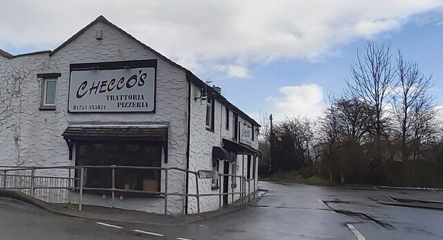
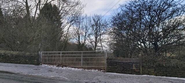
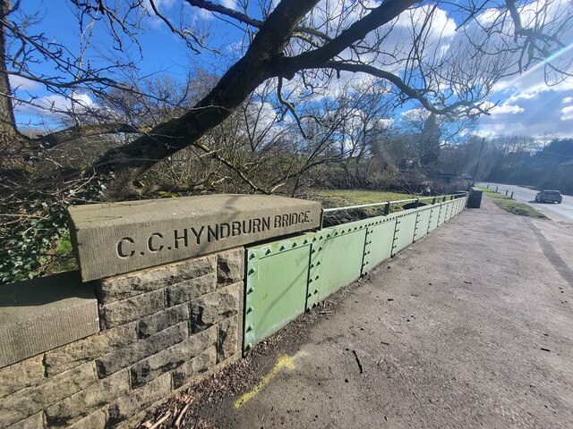
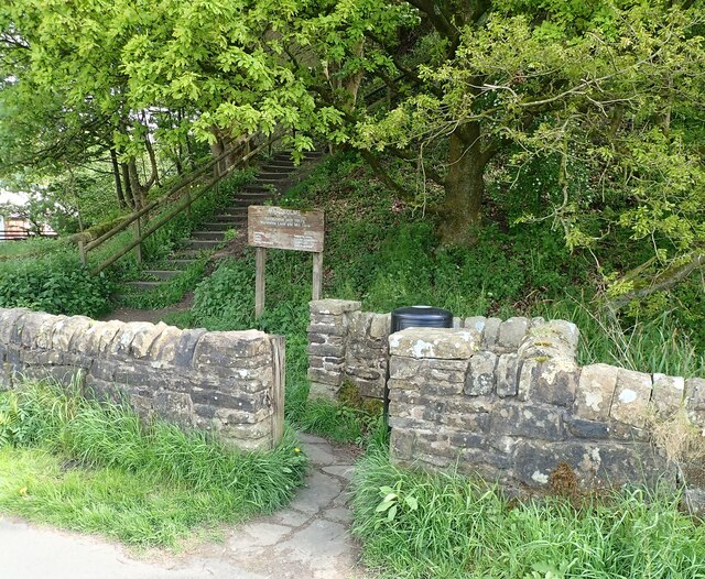
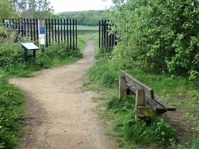
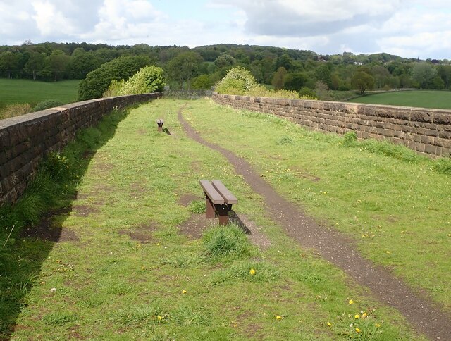
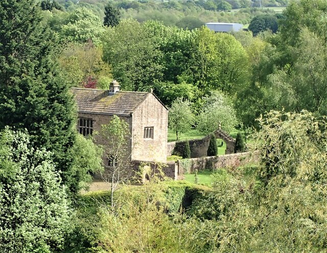
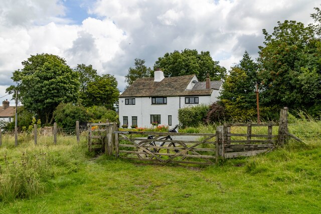
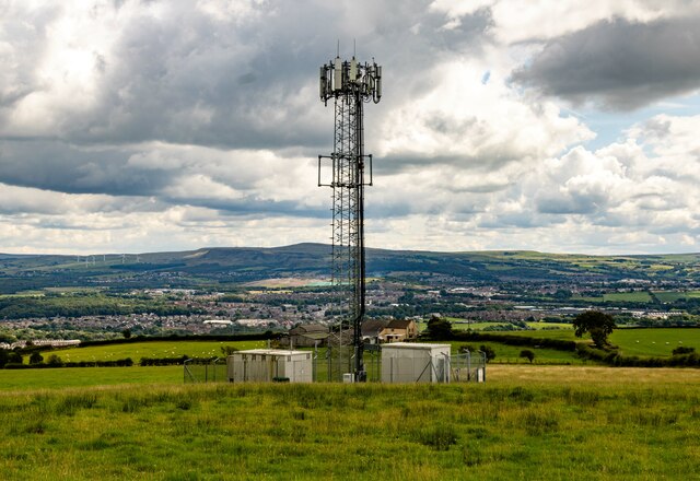
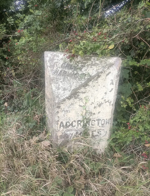
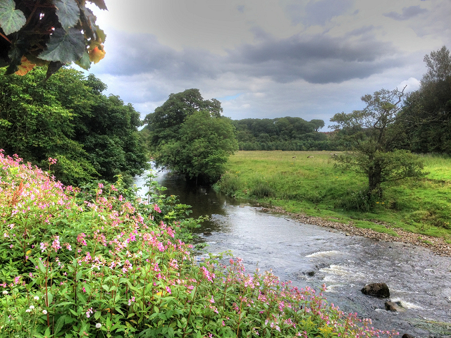
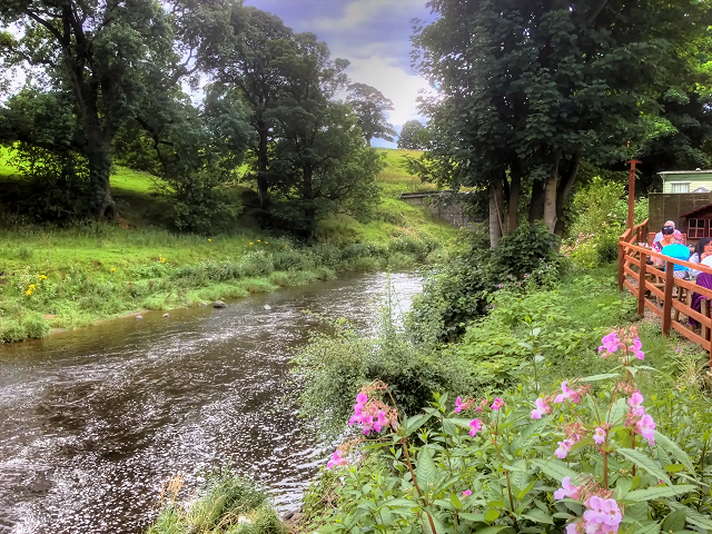
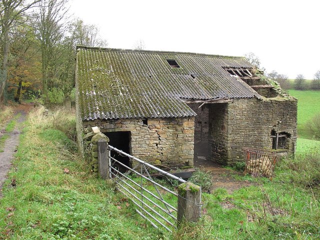
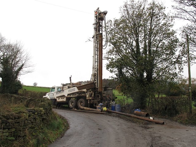
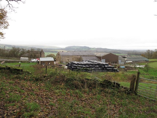
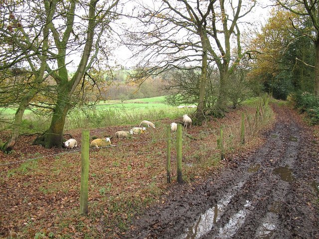
Harwood, Great Images

Images are sourced within 2km of 53.793074/-2.405282 or Grid Reference SD7333. Thanks to Geograph Open Source API. All images are credited.

Checco's Pizzeria
Checco's Pizzeria
Gated Track near Hyndburn Bridge
Old Bridge Marker on the A680 Whalley Road Bridge Marker inscribed in the capstone of the north pier of Hyndburn Bridge, Hyndburn Brook, on the east side of the A680 Whalley Road. On the boundary of Great Harwood and Clayton le Moors parishes until 1974 when both were abolished. REBUILT 1930 in inscribed on the capstone of the south pier on the east side of the road.

Milestone Society National ID: LA_GHACLM01br
Old Bridge Marker on the A680 Whalley Road
Bridge Marker inscribed in the capstone of the north pier of Hyndburn Bridge, Hyndburn Brook, on the east side of the A680 Whalley Road. On the boundary of Great Harwood and Clayton le Moors parishes until 1974 when both were abolished. REBUILT 1930 in inscribed on the capstone of the south pier on the east side of the road. Milestone Society National ID: LA_GHACLM01br
Building off Moor Lane Entrance to Buildings at Miles Hill off Moor Lane.
Building off Moor Lane
Entrance to Buildings at Miles Hill off Moor Lane.
Gateway for steps leading to Viaduct The gateway leading to the 74 steps providing access from Martholme Lane up to the Viaduct and Martholme Greenway.
Gateway for steps leading to Viaduct
The gateway leading to the 74 steps providing access from Martholme Lane up to the Viaduct and Martholme Greenway.
Access to Martholme Viaduct The barrier with gateway providing access to Martholme Viaduct from Martholme Greenway. The path leading off on the left leads to the 74 steps going down to Martholme Lane.
Access to Martholme Viaduct
The barrier with gateway providing access to Martholme Viaduct from Martholme Greenway. The path leading off on the left leads to the 74 steps going down to Martholme Lane.
Wooden Benches on Martholme Viaduct The benches on the path over Martholme Viaduct. Access beyond the viaduct has been closed off see closer view here - <a title="https://www.geograph.org.uk/photo/7483819" href="https://www.geograph.org.uk/photo/7483819">Link</a>
Wooden Benches on Martholme Viaduct
The benches on the path over Martholme Viaduct. Access beyond the viaduct has been closed off see closer view here - Link
Martholme Gatehouse and outer archway Martholme manor house dates from the 13th century when the house belonged to the de Fitton family. It was passed through marriage to the Hesketh family and re-built in 1577 during the reign of Queen Elizabeth I. During that time the Lords of the Manor would carry out their own code of justice on local law breakers and this was dispensed at the Gatehouse. The Gatehouse can be seen in the picture with the Outer Archway which was added in 1607. The remaining buildings are located off to the left and obscured by trees.
Manor House - <span class="nowrap"><a title="https://redrosecollections.lancashire.gov.uk/view-item?i=274760&WINID=1690967778154" rel="nofollow ugc noopener" href="https://redrosecollections.lancashire.gov.uk/view-item?i=274760&WINID=1690967778154">Link</a><img style="margin-left:2px;" alt="External link" title="External link - shift click to open in new window" src="https://s1.geograph.org.uk/img/external.png" width="10" height="10"/></span>
Martholme Gatehouse and outer archway
Martholme manor house dates from the 13th century when the house belonged to the de Fitton family. It was passed through marriage to the Hesketh family and re-built in 1577 during the reign of Queen Elizabeth I. During that time the Lords of the Manor would carry out their own code of justice on local law breakers and this was dispensed at the Gatehouse. The Gatehouse can be seen in the picture with the Outer Archway which was added in 1607. The remaining buildings are located off to the left and obscured by trees. Manor House - LinkExternal link
Four Winds
Four Winds
Communications Mast
Communications Mast
Old Milestone by the A680, Rodger Hey Farm, Great Harwood parish Carved stone post by the A680, in parish of GREAT HARWOOD (HYNDBURN District), North of Rodger Hey, by the road, on West side of road. Lancs CC stone triangle, erected by the County Council in the 19th/20th century. 

Inscription reads:-
: WHALLEY / 2 MILES / CLITHEROE / 6 MILES : : GREAT / HARWOOD : : ACCRINGTON / 3 MILES : 

Milestone Society National ID: LA_CLAC06.
Old Milestone by the A680, Rodger Hey Farm, Great Harwood parish
Carved stone post by the A680, in parish of GREAT HARWOOD (HYNDBURN District), North of Rodger Hey, by the road, on West side of road. Lancs CC stone triangle, erected by the County Council in the 19th/20th century. Inscription reads:- : WHALLEY / 2 MILES / CLITHEROE / 6 MILES : : GREAT / HARWOOD : : ACCRINGTON / 3 MILES : Milestone Society National ID: LA_CLAC06.
River Calder, Looking Upstream from Read Garden Centre
River Calder, Looking Downstream from Read Garden Centre
Dean Lane, south of Whalley Banks Dean Lane is the historic route from Whalley to Great Harwood.  This section, currently classed as a bridleway, has become a deep Holloway; the path above it is less muddy but then veers off to the east as a separate footpath.
Dean Lane, south of Whalley Banks
Dean Lane is the historic route from Whalley to Great Harwood. This section, currently classed as a bridleway, has become a deep Holloway; the path above it is less muddy but then veers off to the east as a separate footpath.
Barn on Dean Lane The barn could do with some attention to its roof and walls, but is still in active use, judging by the manger outside.
Barn on Dean Lane
The barn could do with some attention to its roof and walls, but is still in active use, judging by the manger outside.
Drilling on Berry's Lane The drilling rig bears the legend "J P Whitter - water well engineers". As there are lots of springs on the hillside at about this level, that makes sense, although I did wonder whether it could be fracking exploration.
Drilling on Berry's Lane
The drilling rig bears the legend "J P Whitter - water well engineers". As there are lots of springs on the hillside at about this level, that makes sense, although I did wonder whether it could be fracking exploration.
Heys Farm, Dean Lane The main farmhouse, behind the trees to the left of the buildings in the foreground, and dating from the 17th century, is listed grade 2 (list entry 1205975).
Heys Farm, Dean Lane
The main farmhouse, behind the trees to the left of the buildings in the foreground, and dating from the 17th century, is listed grade 2 (list entry 1205975).
Sheep by Dean Lane This stretch of Dean Lane (the historic route from Whalley to Great Harwood) is a muddy bridleway.
Sheep by Dean Lane
This stretch of Dean Lane (the historic route from Whalley to Great Harwood) is a muddy bridleway.
Show me another place!

Harwood, Great is located at Grid Ref: SD7333 (Lat: 53.793074, Lng: -2.405282)

Administrative County: Lancashire

District: Hyndburn

Police Authority: Lancashire

What 3 Words

///spun.oasis.harmlessly. Near Great Harwood, Lancashire

Related Wikis

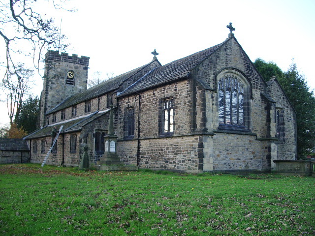
St Bartholomew's Church, Great Harwood

St Bartholomew's Church is in the town of Great Harwood in Lancashire, England. It is an active Anglican parish church in the Diocese of Blackburn. The...

Great Harwood

Great Harwood is a town in the Hyndburn district of Lancashire, England, located 5 miles (8.0 km) north east of Blackburn and adjacent to the Ribble Valley...

Great Harwood Town Hall

Great Harwood Town Hall is a municipal building in Town Hall Square, Great Harwood, Lancashire, England. The town hall, which was the headquarters of Great...

Great Harwood railway station

Great Harwood railway station was located in the south east side of Great Harwood, Lancashire, England on Station Road, which still remains. The station...

Nearby Amenities

Located within 500m of 53.793074,-2.405282
Mini Roundabout
Direction: clockwise
Lat/Long: 53.7898143/-2.4057851
Bus Stop
Bus: yes
Naptan AtcoCode: 2500IMG2936
Naptan NaptanCode: langjgtm
Public Transport: platform
Lat/Long: 53.7895604/-2.4058618
Bus Stop
Bus: yes
Public Transport: platform
Lat/Long: 53.7899156/-2.4050346
Restaurant
The Dog and Otter
Addr City: Blackburn
Addr Postcode: BB6 7PG
Addr Street: Cliffe Lane
Addr Suburb: Great Harwood
Fhrs Id: 939177
Source Addr: FHRS Open Data
Lat/Long: 53.7929274/-2.4105541
Allsprings Plantation
Natural: wood
Source: OS_OpenData_StreetView
Lat/Long: 53.7968614/-2.4056775
Post Box
Ref: BB6 84
Lat/Long: 53.7919157/-2.4098715
Historic: memorial
Memorial: war_memorial
Lat/Long: 53.7925185/-2.4043714
The data included in this document is from www.openstreetmap.org. The data is made available under ODbL.

Have you been to Harwood, Great?

Leave your review of Harwood, Great below (or comments, questions and feedback).