Airy Holm Reservoir

Lake, Pool, Pond, Freshwater Marsh in Northumberland

England

Airy Holm Reservoir

St Andrew's Church, Shotley St Andrews is cruciform with a bell-cote, Built in 1769 on the site of a much older church and remodelled in 1892. It stands 960 feet (293 metres) above sea level on Grey Mare Hill. The vicarage was at Unthank and is now two cottages.
St Andrew's Church, Shotley Credit: Ken Brown

Airy Holm Reservoir is a small freshwater lake located in the county of Northumberland, England. It is situated in a picturesque and secluded area, surrounded by verdant hills and lush vegetation. The reservoir covers an area of approximately 10 acres and is known for its crystal-clear waters and tranquil ambiance.

The lake is fed by several natural springs, ensuring a constant flow of fresh water. It is home to a variety of aquatic plants and wildlife, making it a popular spot for nature enthusiasts and birdwatchers. Common species that can be found in and around the reservoir include ducks, geese, swans, and various types of fish.

The surrounding area of Airy Holm Reservoir offers stunning views and is a haven for outdoor activities. Visitors can enjoy leisurely walks around the lake, taking in the idyllic scenery and spotting wildlife along the way. The reservoir is also suitable for boating and fishing, with permits available for those wishing to cast their lines.

Additionally, there are picnic areas and benches dotted around the lake, providing the perfect setting for a peaceful lunch or a moment of relaxation. The peaceful atmosphere and natural beauty of Airy Holm Reservoir make it a favorite destination for locals and tourists alike, seeking solace and respite from the hustle and bustle of everyday life.

Overall, Airy Holm Reservoir is a charming and serene freshwater lake nestled in the heart of Northumberland, offering a delightful escape for nature lovers and those seeking a tranquil retreat.

If you have any feedback on the listing, please let us know in the comments section below.

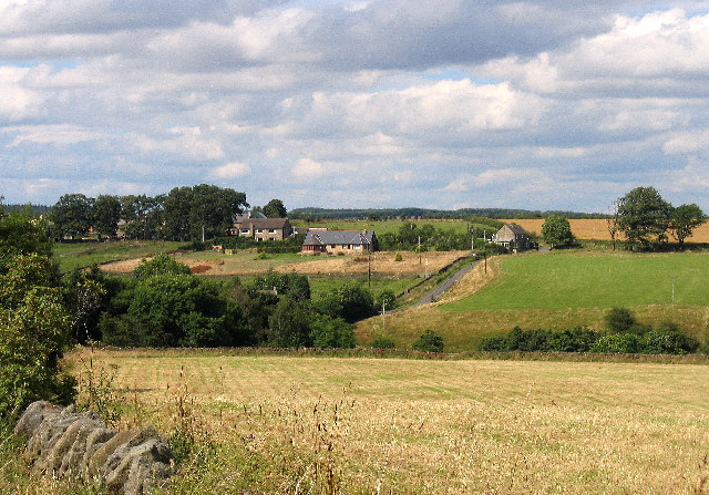
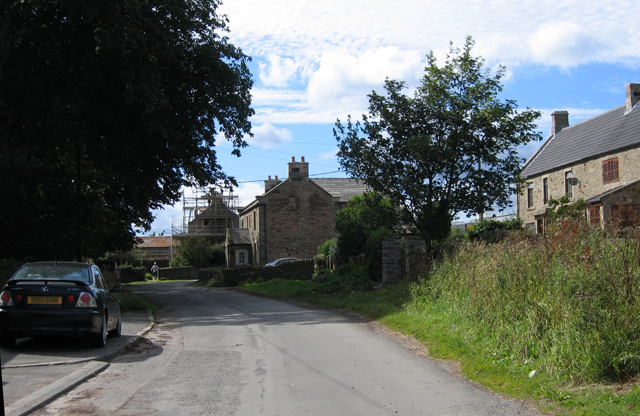
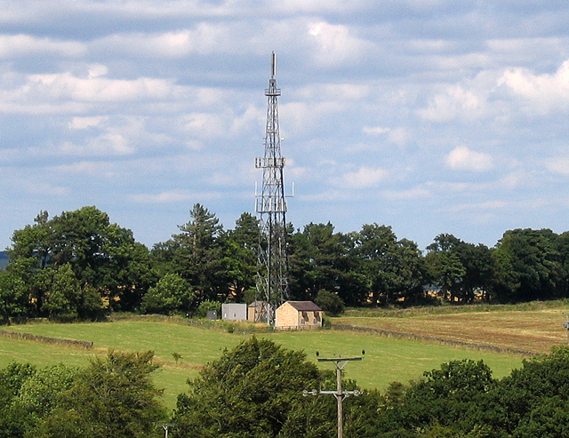
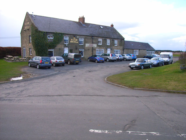
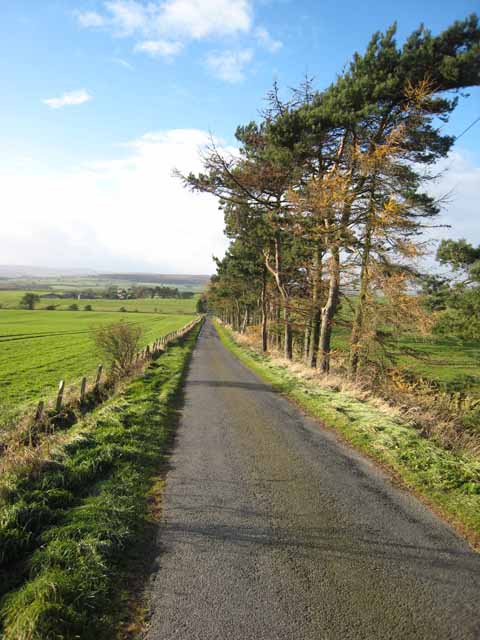
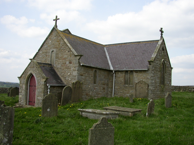
Airy Holm Reservoir Images

Images are sourced within 2km of 54.879792/-1.928649 or Grid Reference NZ0453. Thanks to Geograph Open Source API. All images are credited.

St Andrew's Church, Shotley St Andrews is cruciform with a bell-cote, Built in 1769 on the site of a much older church and remodelled in 1892. It stands 960 feet (293 metres) above sea level on Grey Mare Hill. The vicarage was at Unthank and is now two cottages.
St Andrew's Church, Shotley
St Andrews is cruciform with a bell-cote, Built in 1769 on the site of a much older church and remodelled in 1892. It stands 960 feet (293 metres) above sea level on Grey Mare Hill. The vicarage was at Unthank and is now two cottages.
Hoppers Mausoleum Situated in the graveyard of St Andrews Church, the elaborate domed mausoleum was built by Humphrey Hopper of Black Hedley in 1752 in memory of his wife Jane Hodgson, the Hoppers came from Scotland and the inscription records the presence of  Nicholas Hopper here in 1573.
Hoppers Mausoleum
Situated in the graveyard of St Andrews Church, the elaborate domed mausoleum was built by Humphrey Hopper of Black Hedley in 1752 in memory of his wife Jane Hodgson, the Hoppers came from Scotland and the inscription records the presence of Nicholas Hopper here in 1573.
Road Junction near Shotleyfield
Unthank From Unthank looking North to Greymare Hill and St. Andrews church.
Unthank
From Unthank looking North to Greymare Hill and St. Andrews church.
Shotleyfield
Shotleyfield
Shotleyfield
Shotleyfield
Shotleyfield TV Mast Relays signals from Pontop Pike transmitter
Shotleyfield TV Mast
Relays signals from Pontop Pike transmitter
Manor House Pub and Restaurant, Kilnpit Hill A popular watering hole with a commanding view over the Derwent Reservoir, situated on the switchback A68
Manor House Pub and Restaurant, Kilnpit Hill
A popular watering hole with a commanding view over the Derwent Reservoir, situated on the switchback A68
St. Andrews Church, Greymare Hill This is a Grade 1 listed building which commands far ranging views 360 Degrees around. The far horizon are the moors above the nearby Derwent Reservoir. This monument may be surrounded by Wind Turbines in the coming years.
St. Andrews Church, Greymare Hill
This is a Grade 1 listed building which commands far ranging views 360 Degrees around. The far horizon are the moors above the nearby Derwent Reservoir. This monument may be surrounded by Wind Turbines in the coming years.
Looking East on the Greymare Hill to Newlands road
Airy Holm Reservoir Airy Holm Reservoir with Fine House Farm
Airy Holm Reservoir
Airy Holm Reservoir with Fine House Farm
The road to Birkenside Formerly a through public road, but now the tarmac surface stops after the farm.
The road to Birkenside
Formerly a through public road, but now the tarmac surface stops after the farm.
New House Farm Just off the A68 Darlington to Corbridge road.
New House Farm
Just off the A68 Darlington to Corbridge road.
Roadside near New House Farm On the road from Carterway Heads to Slaley.
Roadside near New House Farm
On the road from Carterway Heads to Slaley.
Countryside near Kiln Pit Hill Seen from the old A68.
Countryside near Kiln Pit Hill
Seen from the old A68.
South Cottage, Kiln Pit Hill Sited on the old A68 Darlington to Corbridge road which has now been realigned. The "cottage" (on the right) is quite a cottage! The building on the left is an apartment over a garage.
South Cottage, Kiln Pit Hill
Sited on the old A68 Darlington to Corbridge road which has now been realigned. The "cottage" (on the right) is quite a cottage! The building on the left is an apartment over a garage.
The old post office, Kiln Pit Hill In these days when rural post offices in even quite large villages are under threat of closure, it is incredible to think that this house was once occupied by a post office which served this tiny community of no more than a dozen houses and some outlying farms.
The old post office, Kiln Pit Hill
In these days when rural post offices in even quite large villages are under threat of closure, it is incredible to think that this house was once occupied by a post office which served this tiny community of no more than a dozen houses and some outlying farms.
Greymare Hill, Shotley A general view of Greymare Hill with St Andrew's Church and Hopper Mausoleum on the skyline to the left.
Greymare Hill, Shotley
A general view of Greymare Hill with St Andrew's Church and Hopper Mausoleum on the skyline to the left.
Show me another place!

Airy Holm Reservoir is located at Grid Ref: NZ0453 (Lat: 54.879792, Lng: -1.928649)

Unitary Authority: Northumberland

Police Authority: Northumbria

What 3 Words

///mobile.circus.army. Near Healey, Northumberland

Nearby Locations

Airy Holm Reservoir

Related Wikis

Nearby Amenities

Located within 500m of 54.879792,-1.928649
Noexit: yes
Lat/Long: 54.879196/-1.9267729
Noexit: yes
Lat/Long: 54.8794707/-1.9267327
Bicycle: designated
Foot: yes
Ford: yes
Horse: designated
Motor Vehicle: designated
Lat/Long: 54.8790706/-1.9261363
The data included in this document is from www.openstreetmap.org. The data is made available under ODbL.

Have you been to Airy Holm Reservoir?

Leave your review of Airy Holm Reservoir below (or comments, questions and feedback).