Silsden Reservoir

Lake, Pool, Pond, Freshwater Marsh in Yorkshire

England

Silsden Reservoir

Keighley Road, Silsden Looking towards the entrance to Aldi supermarket.
Keighley Road, Silsden Credit: Mark Anderson

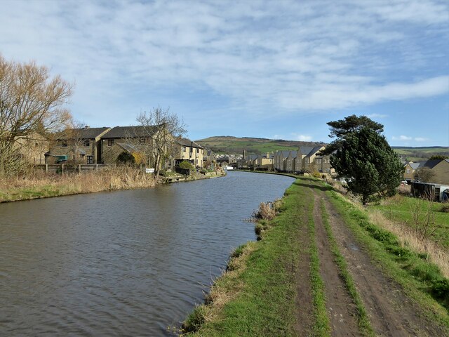
Silsden Reservoir is a man-made freshwater lake located in the West Yorkshire region of England, specifically in the town of Silsden. It was constructed in the late 19th century to provide a reliable water supply to the surrounding areas, including the cities of Bradford and Leeds. Covering an area of approximately 25 hectares, the reservoir is an important water source for both domestic and industrial use.

The reservoir is surrounded by picturesque rolling hills and offers a tranquil setting for visitors to enjoy various recreational activities. The calm waters of Silsden Reservoir are ideal for boating and fishing, attracting anglers from the nearby towns who seek to catch species such as trout, perch, and roach. A boat launch area and fishing platforms are available for convenience and accessibility.

Nature enthusiasts also appreciate the reservoir's diverse ecosystem and the abundance of wildlife it supports. The surrounding marshland provides a habitat for various bird species, including herons, ducks, and swans, making it a popular spot for birdwatching. The area around the reservoir is also known for its flora, with wildflowers and reeds adding to the natural beauty of the landscape.

Silsden Reservoir is a popular destination for local residents and tourists alike, offering a peaceful retreat from the bustling cities nearby. Its scenic views, recreational opportunities, and ecological significance make it a valuable asset to the Yorkshire region.

If you have any feedback on the listing, please let us know in the comments section below.

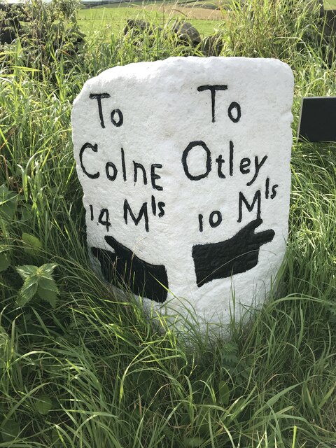
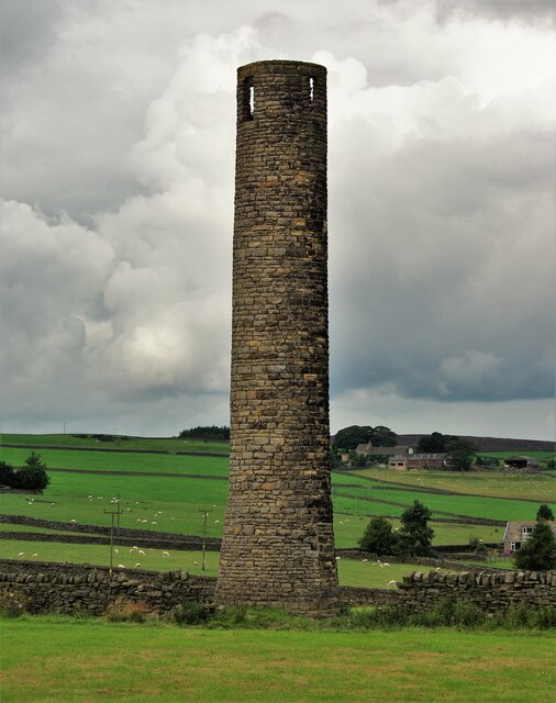
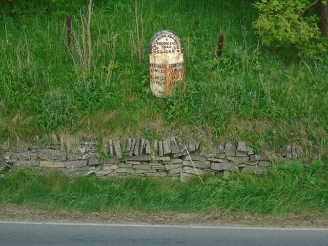
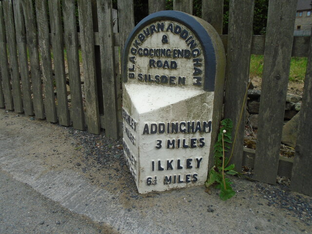
Silsden Reservoir Images

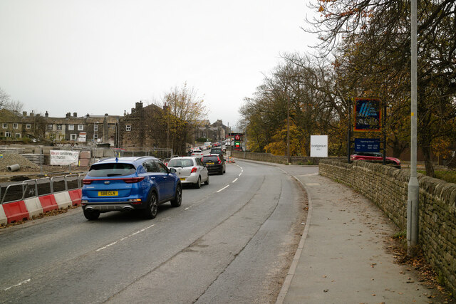
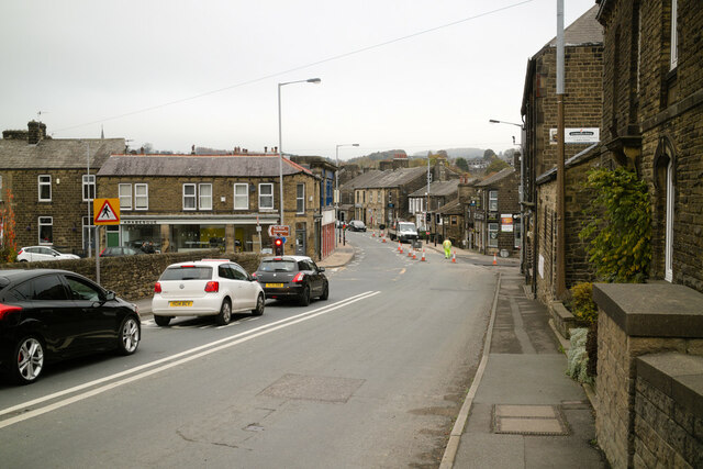
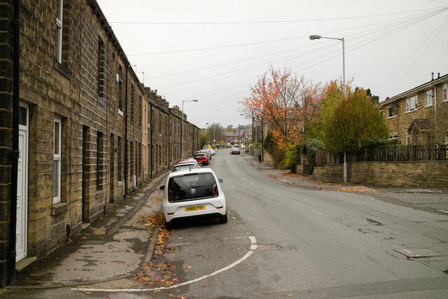
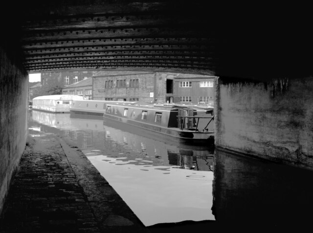
Images are sourced within 2km of 53.925558/-1.9311635 or Grid Reference SE0447. Thanks to Geograph Open Source API. All images are credited.

Keighley Road, Silsden Looking towards the entrance to Aldi supermarket.
Keighley Road, Silsden
Looking towards the entrance to Aldi supermarket.
Keighley Road, Silsden approaching Elliott Street Elliott Street is on the left. The temporary traffic lights are for some road works on St John's Street on the right.
Keighley Road, Silsden approaching Elliott Street
Elliott Street is on the left. The temporary traffic lights are for some road works on St John's Street on the right.
Elliott Street, Silsden near Prince Street
The Leeds and Liverpool Canal, Silsden Under the bridge carrying Keighley Road (A6034).
The Leeds and Liverpool Canal, Silsden
Under the bridge carrying Keighley Road (A6034).
Low Bradley, Horne House The property is undergoing renovation. There is a benchmark cut into the block stone to the right of a window.
Low Bradley, Horne House
The property is undergoing renovation. There is a benchmark cut into the block stone to the right of a window.
Low Bradley, Horne House The property is undergoing renovation. There is a benchmark cut into the block stone to the right of the triple paned window.
Low Bradley, Horne House
The property is undergoing renovation. There is a benchmark cut into the block stone to the right of the triple paned window.
Milestone Brown Bank Lane / Turner Lane Junction Freshly painted and refurbished
Milestone Brown Bank Lane / Turner Lane Junction
Freshly painted and refurbished
Old Sighting Tower A listed building grade II, built for surveying the route of Bradford Waterworks conduit from Barden and Chelker Reservoirs.
Old Sighting Tower
A listed building grade II, built for surveying the route of Bradford Waterworks conduit from Barden and Chelker Reservoirs.
Old milestone One of the 615 milestones set up by the newly formed West Riding County Council in 1893/94.  This route extends from Addingham through Silsden and Glusburn to the county boundary with Lancashire on the A6068.  It is on the east side of Bolton Road near the entrance to Cringles Park Home Estate.  It is Grade II listed 1223253.
Old milestone
One of the 615 milestones set up by the newly formed West Riding County Council in 1893/94. This route extends from Addingham through Silsden and Glusburn to the county boundary with Lancashire on the A6068. It is on the east side of Bolton Road near the entrance to Cringles Park Home Estate. It is Grade II listed 1223253.
Old milestone On the south-east side of Bolton Road at the northern end of Silsden is this West Riding County Council stone from 1893/94.  Although the pavement has been built up over the years all the legends are still visible.   It is not known at which foundry the castings on this route were forged.
Old milestone
On the south-east side of Bolton Road at the northern end of Silsden is this West Riding County Council stone from 1893/94. Although the pavement has been built up over the years all the legends are still visible. It is not known at which foundry the castings on this route were forged.
Silsden - Town Centre Conservative Club and The Punchbowl pub at the top of the Kirkgate.
Silsden - Town Centre
Conservative Club and The Punchbowl pub at the top of the Kirkgate.
Silsden - St James Church The parish church dates from 1712 and was originally a chapel of ease for Kildwick.
 <span class="nowrap"><a title="www.silsdenhistorygroup.co.uk" rel="nofollow ugc noopener" href="http://www.silsdenhistorygroup.co.uk">Link</a><img style="margin-left:2px;" alt="External link" title="External link - shift click to open in new window" src="https://s1.geograph.org.uk/img/external.png" width="10" height="10"/></span>
Silsden - St James Church
The parish church dates from 1712 and was originally a chapel of ease for Kildwick. LinkExternal link
Leeds & Liverpool Canal View along the trough of the aqueduct across Hainsworth Road on a snowy day.
Leeds & Liverpool Canal
View along the trough of the aqueduct across Hainsworth Road on a snowy day.
Leeds & Liverpool Canal Following the contour towards Silsden and now lined with new housing
Leeds & Liverpool Canal
Following the contour towards Silsden and now lined with new housing
Leeds and Liverpool Canal Approaching Silsden from the Kildwick direction
Leeds and Liverpool Canal
Approaching Silsden from the Kildwick direction
Berry Bridge The west portal of what becomes a culvert rather than a road bridge over Bracken Hill Gill
Berry Bridge
The west portal of what becomes a culvert rather than a road bridge over Bracken Hill Gill
Silsden Beck, Town Centre The beck has been widened into a shallow pond in the centre of Silsden. With flower beds and planters and a weir it's an attractive scene in the middle of the town.
Silsden Beck, Town Centre
The beck has been widened into a shallow pond in the centre of Silsden. With flower beds and planters and a weir it's an attractive scene in the middle of the town.
Palm Tree in King Street Terraced houses around a central yard.
Palm Tree in King Street
Terraced houses around a central yard.
Show me another place!

Silsden Reservoir is located at Grid Ref: SE0447 (Lat: 53.925558, Lng: -1.9311635)

Division: West Riding

Unitary Authority: Bradford

Police Authority: West Yorkshire

What 3 Words

///blotting.textiles.stage. Near Silsden, West Yorkshire

Related Wikis

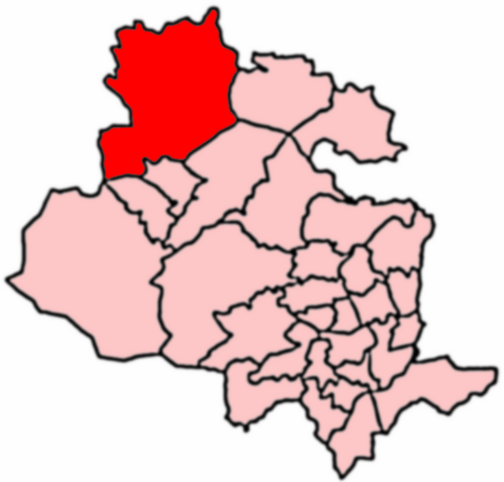
Craven (Bradford ward)

Craven is an electoral ward within the City of Bradford Metropolitan District Council, West Yorkshire, England. The population of the ward at the 2011...
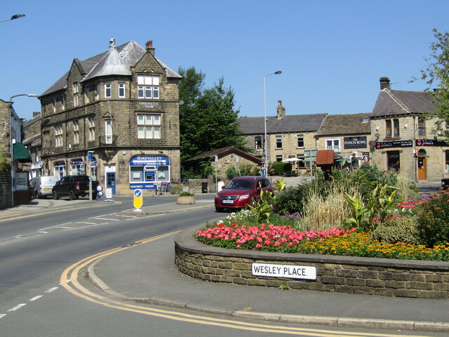
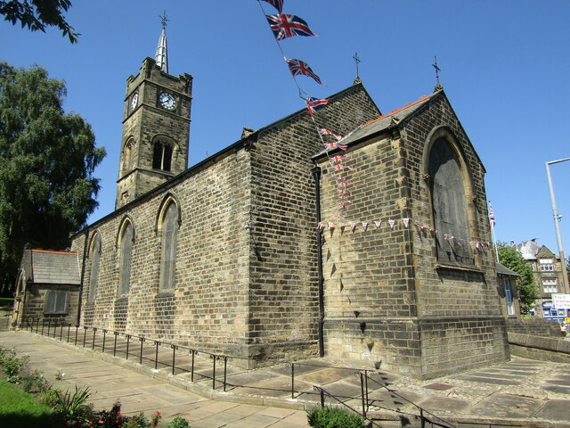
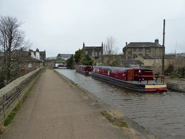
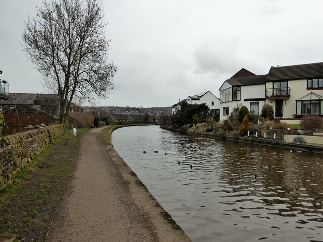
Silsden

Silsden is a town and civil parish in the City of Bradford in West Yorkshire, England, on the River Aire and Leeds and Liverpool Canal between Keighley...

Silsden Town Hall

Silsden Town Hall is a municipal building in Kirkgate, Silsden, West Yorkshire, England. The town hall is the meeting place of Silsden Town Council....

Silsden A.F.C.

Silsden A.F.C. is a football club based in Silsden, West Yorkshire, England, and is currently a member of the Northern Counties East League Premier Division...

Nearby Amenities

Located within 500m of 53.925558,-1.9311635
Bus Stop
Bolton Road Fishbeck Lane
Local Ref: 45016906
Naptan AtcoCode: 450016906
Naptan Bearing: S
Naptan CommonName: Bolton Road Fishbeck Lane
Naptan Crossing: Fishbeck Lane
Naptan Indicator: Stop 45016906
Naptan Landmark: Lower Cringles Bungalow
Naptan Notes: OSR taken place 220705
Naptan PlusbusZoneRef: LEEDS
Naptan ShortCommonName: Fishbeck Lane
Naptan Street: Bolton Road
Naptan Verified: no
Source: naptan_import
Lat/Long: 53.9275301/-1.9264126
Bus Stop
Bolton Road Reservoir
Local Ref: 45016907
Naptan AtcoCode: 450016907
Naptan Bearing: N
Naptan CommonName: Bolton Road Reservoir
Naptan Crossing: Twixt North Street & Fishbeck Lane
Naptan Indicator: Stop 45016907
Naptan Landmark: Silsden Reservoir
Naptan Notes: OSR taken place 220705
Naptan PlusbusZoneRef: LEEDS
Naptan ShortCommonName: Mayfield
Naptan Street: Bolton Road
Naptan Verified: no
Source: naptan_import
Lat/Long: 53.9233695/-1.9279427
Bolton Road Silsden
Local Ref: 45050465
Naptan AtcoCode: 450050465
Naptan Bearing: N
Naptan BusStopType: CUS
Naptan CommonName: Bolton Road Silsden
Naptan Indicator: Stop 45050465
Naptan PlusbusZoneRef: LEEDS
Naptan ShortCommonName: Fishbeck Lane
Naptan Street: Bolton Road
Naptan Verified: no
Source: naptan_import
Lat/Long: 53.9275391/-1.9265497
Bolton Road Silsden
Local Ref: 45050466
Naptan AtcoCode: 450050466
Naptan Bearing: S
Naptan BusStopType: CUS
Naptan CommonName: Bolton Road Silsden
Naptan Indicator: Stop 45050466
Naptan PlusbusZoneRef: LEEDS
Naptan ShortCommonName: Water Works
Naptan Street: Bolton Road
Naptan Verified: no
Source: naptan_import
Lat/Long: 53.9233425/-1.9278057
Power: pole
Source: OS 1:25k
Lat/Long: 53.9213248/-1.9331297
Parking
Access: permissive
Lat/Long: 53.9233976/-1.9307863
pump house
Building: yes
Lat/Long: 53.923486/-1.9305717
Barrier: stile
Lat/Long: 53.922733/-1.9273878
Generator Method: photovoltaic
Generator Output Electricity: yes
Generator Source: solar
Generator Type: solar_photovoltaic_panel
Power: generator
Lat/Long: 53.9262522/-1.927449
Power: pole
Lat/Long: 53.9265827/-1.925169
Power: pole
Lat/Long: 53.9250947/-1.9256079
Power: pole
Lat/Long: 53.9241785/-1.9259041
Power: pole
Lat/Long: 53.9234089/-1.9261441
Generator Method: photovoltaic
Generator Output Electricity: yes
Generator Source: solar
Generator Type: solar_photovoltaic_panel
Power: generator
Lat/Long: 53.92664/-1.9249242
Barrier: stile
Lat/Long: 53.9240005/-1.9244786
The data included in this document is from www.openstreetmap.org. The data is made available under ODbL.

Have you been to Silsden Reservoir?

Leave your review of Silsden Reservoir below (or comments, questions and feedback).