Fontburn Reservoir

Lake, Pool, Pond, Freshwater Marsh in Northumberland

England

Fontburn Reservoir

Fontburn emergency overflow.  Gone! All the 'over centre' 'release gates' have been deliberately toppled and laid flat; their outlines can be clearly seen on the ground (with a layer of gravel to reduce the possibility of tripping over their edges?).  In the event of extremely high water levels in the reservoir, it will now overspill through this route at a significantly lower level than that  required to trigger the 'release gates'.  I wonder if this is a measure designed to reduce the absolute maximum pressure on an old dam as part of a national reassessment following the Whaley Bridge dam incident in August 2019?

See <a href="https://www.geograph.org.uk/photo/6496686">NZ0493 : Fontburn emergency overflow</a> and <a href="https://www.geograph.org.uk/photo/6474900">NZ0493 : Giant plughole in action 2</a>
Fontburn emergency overflow. Gone! Credit: Leanmeanmo

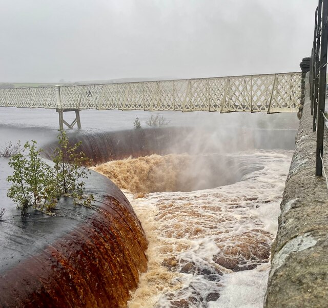
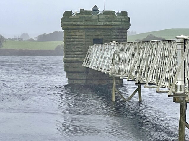
Fontburn Reservoir is a man-made lake located in Northumberland, England. It was created in the mid-1970s as part of a water supply scheme for the region. The reservoir covers an area of approximately 87 hectares and has a storage capacity of around 6 million cubic meters.

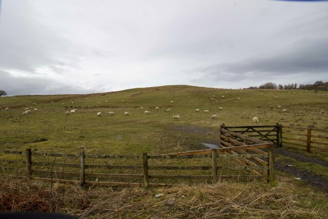
Surrounded by picturesque countryside, Fontburn Reservoir offers a peaceful and scenic environment for visitors. It is a popular spot for outdoor activities such as fishing, walking, and birdwatching. The reservoir is well-stocked with a variety of fish species, including brown and rainbow trout, making it a haven for anglers. Fishing permits can be obtained on-site, allowing visitors to enjoy a day of relaxation by the water.

The reservoir is also home to a diverse range of birdlife, making it an ideal location for birdwatchers. Common sightings include great crested grebes, tufted ducks, and various species of gulls. The surrounding woodlands provide a habitat for numerous other wildlife species, including mammals such as red squirrels and roe deer.

Fontburn Reservoir is managed by Northumbrian Water, who ensures the conservation and maintenance of the site. The area around the reservoir is well-maintained, with picnic areas and walking trails for visitors to enjoy. The tranquil atmosphere and beautiful scenery make Fontburn Reservoir a popular destination for nature lovers and those seeking a peaceful retreat in the heart of Northumberland.

If you have any feedback on the listing, please let us know in the comments section below.

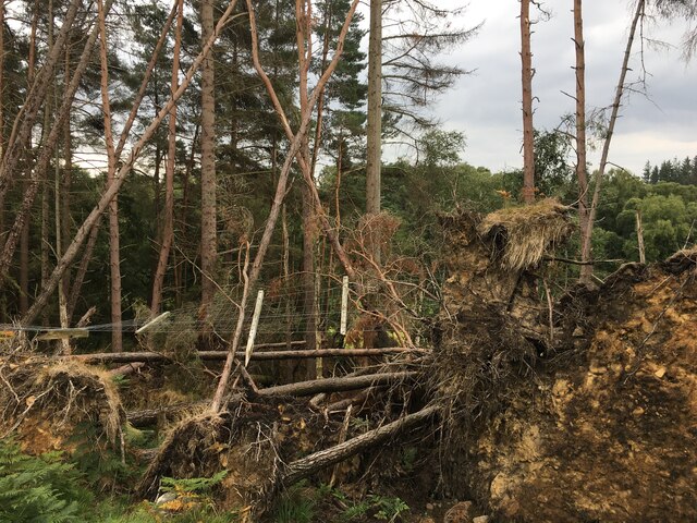
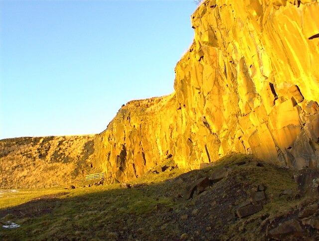
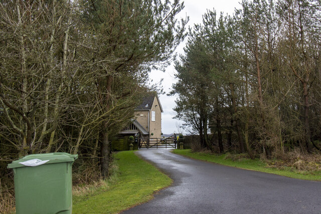
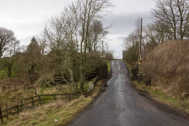
Fontburn Reservoir Images

Images are sourced within 2km of 55.236538/-1.9268033 or Grid Reference NZ0493. Thanks to Geograph Open Source API. All images are credited.

Fontburn emergency overflow.  Gone! All the 'over centre' 'release gates' have been deliberately toppled and laid flat; their outlines can be clearly seen on the ground (with a layer of gravel to reduce the possibility of tripping over their edges?).  In the event of extremely high water levels in the reservoir, it will now overspill through this route at a significantly lower level than that  required to trigger the 'release gates'.  I wonder if this is a measure designed to reduce the absolute maximum pressure on an old dam as part of a national reassessment following the Whaley Bridge dam incident in August 2019?

See <a href="https://www.geograph.org.uk/photo/6496686">NZ0493 : Fontburn emergency overflow</a> and <a href="https://www.geograph.org.uk/photo/6474900">NZ0493 : Giant plughole in action 2</a>
Fontburn emergency overflow. Gone!
All the 'over centre' 'release gates' have been deliberately toppled and laid flat; their outlines can be clearly seen on the ground (with a layer of gravel to reduce the possibility of tripping over their edges?). In the event of extremely high water levels in the reservoir, it will now overspill through this route at a significantly lower level than that required to trigger the 'release gates'. I wonder if this is a measure designed to reduce the absolute maximum pressure on an old dam as part of a national reassessment following the Whaley Bridge dam incident in August 2019? See NZ0493 : Fontburn emergency overflow and NZ0493 : Giant plughole in action 2
Drought at Fontburn Reservoir The water level has been lower in the past but, some 20 ft down from its maximum, this was close to the lowest point of the summer.  Does it make it easier for the fishermen?
Drought at Fontburn Reservoir
The water level has been lower in the past but, some 20 ft down from its maximum, this was close to the lowest point of the summer. Does it make it easier for the fishermen?
Drought at Fontburn Reservoir The water level has been lower in the past but, some 20 ft down from its maximum, this was close to the lowest point of the summer.
Drought at Fontburn Reservoir
The water level has been lower in the past but, some 20 ft down from its maximum, this was close to the lowest point of the summer.
Drought at Fontburn Reservoir The hand crafted scale, chiselled on the tower in Roman numerals, makes it easy to gauge how low the water level has dropped this summer.  Presumably it measures the height above the dam base.
Drought at Fontburn Reservoir
The hand crafted scale, chiselled on the tower in Roman numerals, makes it easy to gauge how low the water level has dropped this summer. Presumably it measures the height above the dam base.
Barrage stability monitoring points Rather like Fundamental Bench Marks, these datum points are used to monitor the level and stability of the dam.  Five of them, regularly spaced along the parapet, are checked frequently with a high precision GPS device.
Barrage stability monitoring points
Rather like Fundamental Bench Marks, these datum points are used to monitor the level and stability of the dam. Five of them, regularly spaced along the parapet, are checked frequently with a high precision GPS device.
Barrage stability monitoring points Rather like Fundamental Bench Marks, these datum points are used to monitor the level and stability of the dam.  Five of them, regularly  spaced along the parapet, are checked frequently with a high precision GPS device.
Barrage stability monitoring points
Rather like Fundamental Bench Marks, these datum points are used to monitor the level and stability of the dam. Five of them, regularly spaced along the parapet, are checked frequently with a high precision GPS device.
More carnage from Storm Arwen The fence was suspended some 2m in the air. One year on and there is still a huge backlog of fallen trees to clear.
More carnage from Storm Arwen
The fence was suspended some 2m in the air. One year on and there is still a huge backlog of fallen trees to clear.
Drought at Fontburn Reservoir Towards the upper end of the reservoir. The water level has been lower in the past but, some 20 ft down from its maximum, this was close to the lowest point of the summer.
Drought at Fontburn Reservoir
Towards the upper end of the reservoir. The water level has been lower in the past but, some 20 ft down from its maximum, this was close to the lowest point of the summer.
Disused rail viaduct at Fontburn
Wintry pond in Ewesley quarry
Low winter sun on Ewesley quarry wall
Ewesley Fell Cottage
Bridge abutments at the old Ewesley Station
Gateway to field
Gateway to field
Giant plughole in action again This could well be as high as the water level has ever been, as an hour later  the River Font at the Nunnykirk monitoring station, just downstream of the dam,  was at its highest ever recorded level.  The 'plughole' wasn't yet a vortex but the central updraught of spray was spectacular.

<a href="https://www.geograph.org.uk/photo/2138476">NZ0493 : Giant plughole</a>
Giant plughole in action again
This could well be as high as the water level has ever been, as an hour later the River Font at the Nunnykirk monitoring station, just downstream of the dam, was at its highest ever recorded level. The 'plughole' wasn't yet a vortex but the central updraught of spray was spectacular. NZ0493 : Giant plughole
High-watermark at Fontburn? The water level is above the highest point on the scale (see <a href="https://www.geograph.org.uk/photo/7329574">NZ0493 : Drought at Fontburn Reservoir</a>) but, comparing it with the photo taken during last summer's drought, it would seem to be at about 81 feet, some 6.4 m above the summer low point.
High-watermark at Fontburn?
The water level is above the highest point on the scale (see NZ0493 : Drought at Fontburn Reservoir) but, comparing it with the photo taken during last summer's drought, it would seem to be at about 81 feet, some 6.4 m above the summer low point.
Cup and Ring marked stone, Fontburn Reservoir On  my second visit, I knew to look for the cup and ring markings. See <a href="https://www.geograph.org.uk/photo/2137036">NZ0393 : Cup and ring marked stone, Fontburn Reservoir</a>.
Cup and Ring marked stone, Fontburn Reservoir
On my second visit, I knew to look for the cup and ring markings. See NZ0393 : Cup and ring marked stone, Fontburn Reservoir.
Show me another place!

Fontburn Reservoir is located at Grid Ref: NZ0493 (Lat: 55.236538, Lng: -1.9268033)

Unitary Authority: Northumberland

Police Authority: Northumbria

What 3 Words

///wallet.sisters.economics. Near Rothley, Northumberland

Nearby Locations

Fontburn Reservoir

Related Wikis

Fontburn Halt railway station

Fontburn Halt was a weatherboard and corrugated-iron-built railway station in Northumberland, England, on the Rothbury Branch, built to serve the pre-existing...

Ewesley railway station

Ewesley station was a weather board and corrugated iron built railway station in Northumberland on the Rothbury Branch built to serve the local farming...

Fallowlees Flush

Fallowlees Flush is the name given to a Site of Special Scientific Interest (SSSI) in mid-Northumberland, England. The steeply sloping site has calcium...

Longwitton railway station

Longwitton station was a weather board and corrugated iron built railway station in Northumberland on the Rothbury Branch. Originally known as Rothley...

Nearby Amenities

Located within 500m of 55.236538,-1.9268033
Leisure: slipway
Lat/Long: 55.2386293/-1.9272288
Barrier: cattle_grid
Lat/Long: 55.2360012/-1.9202766
Power: pole
Lat/Long: 55.237489/-1.9191471
Post Box
Collection Times: Mo-Fr 17:15; Sa 09:30
Post Box Type: lamp
Ref: NE61 98
Royal Cypher: EIIR
Royal Cypher Wikidata: Q33102113
Source: survey
Lat/Long: 55.2396802/-1.9237336
Barrier: cattle_grid
Lat/Long: 55.2402329/-1.9264245
Passing Place
Lat/Long: 55.235436/-1.919638
The data included in this document is from www.openstreetmap.org. The data is made available under ODbL.

Have you been to Fontburn Reservoir?

Leave your review of Fontburn Reservoir below (or comments, questions and feedback).