Higher Dam

Lake, Pool, Pond, Freshwater Marsh in Yorkshire

England

Higher Dam

Clapper Bridge Bridge now repaired after collapse some time ago.
Clapper Bridge Credit: Stephen Shaw

Higher Dam is a picturesque freshwater marsh located in Yorkshire, England. Situated amidst rolling hills and lush greenery, it offers a serene and tranquil setting for visitors to enjoy nature's beauty.

The main feature of Higher Dam is its expansive lake, which stretches over several acres. The lake is fed by natural springs and rainfall, ensuring a constant flow of freshwater. It is home to a diverse array of aquatic plants and wildlife, making it an ideal spot for nature enthusiasts and birdwatchers.

Surrounding the lake, there are several pools and ponds that add to the charm of Higher Dam. These smaller bodies of water provide habitats for various species of fish, amphibians, and invertebrates. Visitors can often spot dragonflies skimming the water's surface or turtles basking in the sun along the pond's edge.

The freshwater marsh at Higher Dam is a unique ecosystem that supports a rich diversity of plant and animal life. The marshland is characterized by wet, spongy soil and is dominated by reeds, sedges, and other water-loving plants. This type of habitat attracts numerous bird species, including waterfowl, herons, and wading birds.

Higher Dam offers recreational activities such as fishing and boating for those seeking a more active experience. Anglers can try their luck at catching perch, pike, and roach in the lake's abundant waters. Additionally, the surrounding walking trails provide opportunities for leisurely strolls, allowing visitors to fully immerse themselves in the natural surroundings.

Overall, Higher Dam is a haven for nature lovers, providing a diverse range of habitats and wildlife to explore and appreciate. Whether it's birdwatching, fishing, or simply enjoying the peaceful ambiance, this freshwater marsh in Yorkshire offers a memorable experience for all who visit.

If you have any feedback on the listing, please let us know in the comments section below.
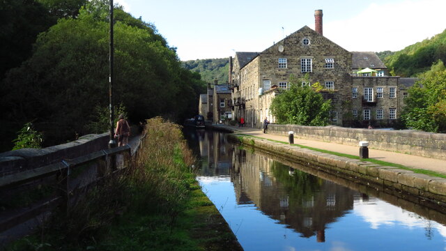
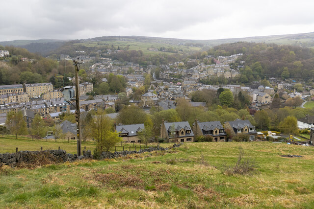
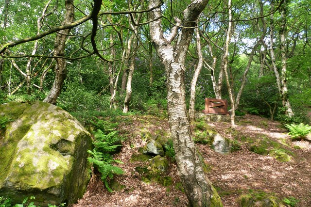
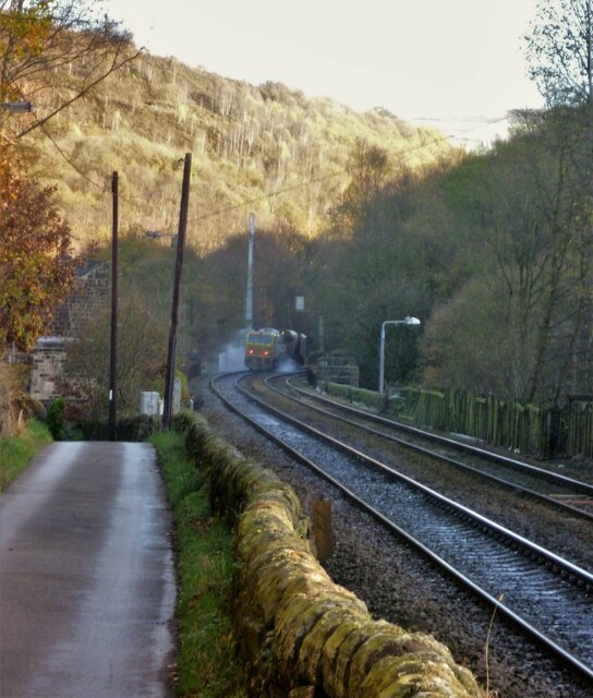
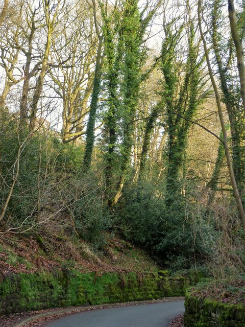
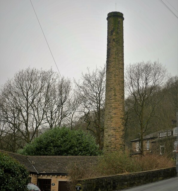
Higher Dam Images

Images are sourced within 2km of 53.739564/-2.0458087 or Grid Reference SD9727. Thanks to Geograph Open Source API. All images are credited.

Clapper Bridge Bridge now repaired after collapse some time ago.
Clapper Bridge
Bridge now repaired after collapse some time ago.
Northgate View along Northgate towards the main village
Northgate
View along Northgate towards the main village
From above the church tower Picture taken from my DJi Mini drone of the top of the church tower, the new graveyard just beyond, and in the far distance Whiteley Arches rail bridge in the green Calder Valley.
From above the church tower
Picture taken from my DJi Mini drone of the top of the church tower, the new graveyard just beyond, and in the far distance Whiteley Arches rail bridge in the green Calder Valley.
Whitehall Farm archway Archway marking the entrance to Whitehall Farm, inscribed on the lintel are the initials JB standing for John Bentley, once owner of the farm and the date of 1578..
Whitehall Farm archway
Archway marking the entrance to Whitehall Farm, inscribed on the lintel are the initials JB standing for John Bentley, once owner of the farm and the date of 1578..
View along the church roof A view along the roof of the church of St Thomas the Apostle, looking towards the village of Old town in the distance.
View along the church roof
A view along the roof of the church of St Thomas the Apostle, looking towards the village of Old town in the distance.
Heptonstall from Smeekin Hill Taken from the Smeekin Hill/Wadsworth war memorial looking across Hebden Dale towards Heptonstall and in the far distance the peace monument of Stoodley Pike Monument.
Heptonstall from Smeekin Hill
Taken from the Smeekin Hill/Wadsworth war memorial looking across Hebden Dale towards Heptonstall and in the far distance the peace monument of Stoodley Pike Monument.
Looking up the church tower Looking up the tower of the church of St Thomas the Apostle.
Looking up the church tower
Looking up the tower of the church of St Thomas the Apostle.
Halifax Road at Calderside View from rail line on Whiteley Arches
Halifax Road at Calderside
View from rail line on Whiteley Arches
Oakville Road at Calderside View from Rochdale to Leeds railway
Oakville Road at Calderside
View from Rochdale to Leeds railway
Seat at eastern end of Horsehold Wood & view over Calderside A seat with a view.
Seat at eastern end of Horsehold Wood & view over Calderside
A seat with a view.
View towards Hebden Bridge from eastern end of Horsehold Wood
Rochdale Canal at Hebden Bridge
Hebden Bridge viewed from hills to the south west
Old Boundary Marker on Palace House Road, Hebden Bridge Township Boundary Marker on Palace House Road, Hebden Bridge, inscribed in the east parapet of the bridge over the Calder Valley Railway. Formerly on the boundary of Erringden and Sowerby townships in Halifax parish. It marked the boundary of the Sowerby Ramble, a narrow strip of land along the Calder valley and up Stoodley Glen between Erringden and Stansfield townships and Erringden and Langfield townships. Sowerby Ramble was part of Sowerby township but in 1850 it became part of Erringden township, later parish. This marker is now entirely in Hebden Royd parish. Inscribed with a reversed S for Sowerby.

Milestone Society National ID: YW_HEBR04pb
Old Boundary Marker on Palace House Road, Hebden Bridge
Township Boundary Marker on Palace House Road, Hebden Bridge, inscribed in the east parapet of the bridge over the Calder Valley Railway. Formerly on the boundary of Erringden and Sowerby townships in Halifax parish. It marked the boundary of the Sowerby Ramble, a narrow strip of land along the Calder valley and up Stoodley Glen between Erringden and Stansfield townships and Erringden and Langfield townships. Sowerby Ramble was part of Sowerby township but in 1850 it became part of Erringden township, later parish. This marker is now entirely in Hebden Royd parish. Inscribed with a reversed S for Sowerby. Milestone Society National ID: YW_HEBR04pb
Rawtonstall Wood The wood with a view to the memorial to Jeffery Stinson, an architect
Rawtonstall Wood
The wood with a view to the memorial to Jeffery Stinson, an architect
Oakville Road and Railway View towards Hebden Bridge where road and rail are hardly separated. A rail track cleaning train is going over Whiteley Arches
Oakville Road and Railway
View towards Hebden Bridge where road and rail are hardly separated. A rail track cleaning train is going over Whiteley Arches
Savile Road The road is cut into the hillside of Rawtonstall Wood
Savile Road
The road is cut into the hillside of Rawtonstall Wood
Mytholm Mill Chimney The chimney is isolated high above the former mill in the valley bottom. This is the view from Bank Terrace
Mytholm Mill Chimney
The chimney is isolated high above the former mill in the valley bottom. This is the view from Bank Terrace
Show me another place!

Higher Dam is located at Grid Ref: SD9727 (Lat: 53.739564, Lng: -2.0458087)

Division: West Riding

Unitary Authority: Calderdale

Police Authority: West Yorkshire

What 3 Words

///photocopy.fuels.caused. Near Hebden Bridge, West Yorkshire

Related Wikis

South Pennines Regional Park

The South Pennines Regional Park (or South Pennines Park) is a proposed national park that would cover the South Pennines area in Northern England, encompassing...

Eastwood (L&Y) railway station

Eastwood Railway Station served the village of Eastwood in the civil parish of Todmorden, West Yorkshire, England. The station opened with the line on...

Eastwood, West Yorkshire

Eastwood is a place within the civil parish of Todmorden and Metropolitan Borough of Calderdale, in West Yorkshire, England. It lies 8 miles (12.9 km)...

Heptonstall

Heptonstall is a small village and civil parish within the Calderdale borough of West Yorkshire, England, historically part of the West Riding of Yorkshire...

Colden, West Yorkshire

Colden is a hamlet in the civil parish of Heptonstall in Calderdale, West Yorkshire, England. Historically part of the West Riding of Yorkshire, the hamlet...

Hepton Rural District

Hepton was a rural district in the West Riding of Yorkshire, England, from 1894 to 1974. The district included four civil parishes: Heptonstall, Blackshaw...

Battle of Heptonstall

The Battle of Heptonstall occurred in November 1643 during the First English Civil War at Hebden Bridge and Heptonstall, Yorkshire. During the battle,...

Hebden Bridge Town Hall

Hebden Bridge Town Hall, formerly Hebden Bridge Council Offices, is a municipal building in St George's Street, Hebden Bridge, West Yorkshire, England...

Nearby Amenities

Located within 500m of 53.739564,-2.0458087
Barrier: stile
Steps: 2
Stile: stepover
Lat/Long: 53.7358371/-2.0490263
Waterway: waterfall
Lat/Long: 53.7382707/-2.0450341
Power: pole
Lat/Long: 53.7433655/-2.0482904
Power: pole
Lat/Long: 53.7427063/-2.0477003
Waterway: waterfall
Lat/Long: 53.7378257/-2.0450311
Power: pole
Lat/Long: 53.7385976/-2.0525832
Power: pole
Lat/Long: 53.7371865/-2.0418692
Power: pole
Lat/Long: 53.7376283/-2.0423895
Power: pole
Lat/Long: 53.7381495/-2.0429648
Power: pole
Lat/Long: 53.7385913/-2.0435093
Power: pole
Lat/Long: 53.74219/-2.0471773
Power: pole
Lat/Long: 53.7415729/-2.0466489
Power: pole
Lat/Long: 53.7410209/-2.0460856
Power: pole
Lat/Long: 53.7404815/-2.0454928
Power: pole
Lat/Long: 53.739858/-2.0448357
Power: pole
Lat/Long: 53.7392489/-2.0441759
Power: pole
Lat/Long: 53.7387174/-2.0436555
Power: pole
Lat/Long: 53.7388967/-2.0514983
Power: pole
Lat/Long: 53.7395233/-2.0494142
Power: pole
Lat/Long: 53.7398009/-2.0484594
Power: pole
Lat/Long: 53.7400183/-2.047703
Power: pole
Lat/Long: 53.7403974/-2.0463914
Power: pole
Lat/Long: 53.740729/-2.0452943
Power: pole
Lat/Long: 53.740986/-2.044495
Power: pole
Lat/Long: 53.7413921/-2.0430815
Power: pole
Lat/Long: 53.741676/-2.0417176
Power: pole
Lat/Long: 53.741887/-2.0406622
The data included in this document is from www.openstreetmap.org. The data is made available under ODbL.

Have you been to Higher Dam?

Leave your review of Higher Dam below (or comments, questions and feedback).