Cumberledge Pool
Lake, Pool, Pond, Freshwater Marsh in Staffordshire Staffordshire Moorlands
England
Cumberledge Pool
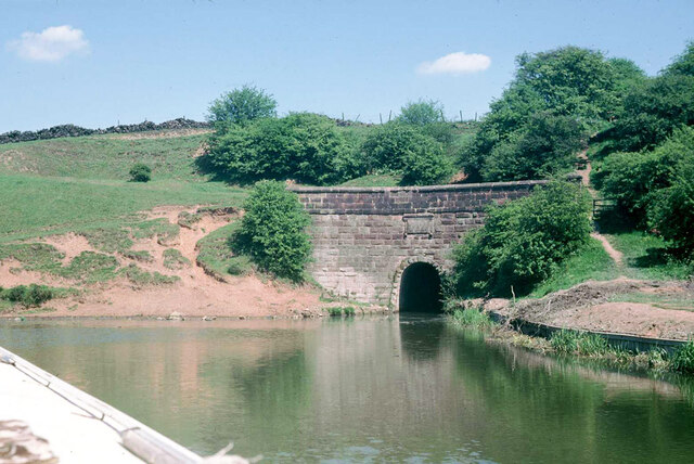
Cumberledge Pool is a picturesque freshwater marsh located in the county of Staffordshire, England. Situated in the heart of the countryside, the pool is a haven for wildlife and offers a tranquil escape for visitors seeking to reconnect with nature.
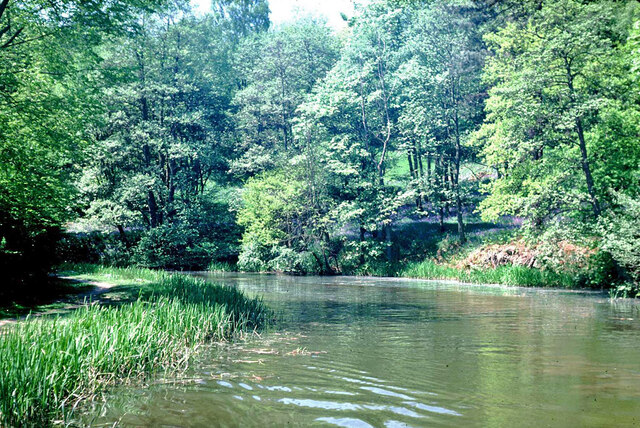
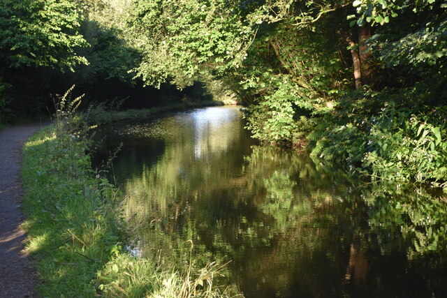
Covering an area of approximately 2 hectares, Cumberledge Pool is a thriving ecosystem, home to a diverse range of plant and animal species. The pool itself is a serene body of water, bordered by lush vegetation and reeds, creating a scenic landscape that attracts numerous bird species throughout the year. Visitors can expect to see a variety of waterfowl, including ducks, geese, and swans, as well as the occasional heron or kingfisher.
Surrounding the pool, there are several walking trails that allow visitors to explore the area and observe the wildlife up close. The trails wind through woodlands and meadows, offering glimpses of wildflowers, butterflies, and small mammals along the way.
Cumberledge Pool is also a popular spot for fishing enthusiasts, with the pool being well-stocked with a variety of fish species, including carp and tench. Anglers can enjoy a peaceful day by the water's edge, casting their lines and trying their luck.
Overall, Cumberledge Pool provides a tranquil retreat for nature lovers and outdoor enthusiasts alike. Its diverse ecosystem, scenic beauty, and abundance of wildlife make it a must-visit destination for anyone seeking a peaceful escape in the Staffordshire countryside.
If you have any feedback on the listing, please let us know in the comments section below.
Cumberledge Pool Images
Images are sourced within 2km of 53.076355/-2.0608006 or Grid Reference SJ9653. Thanks to Geograph Open Source API. All images are credited.


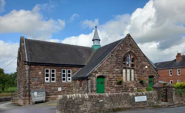
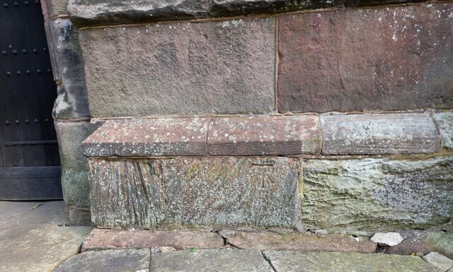
![Cheddleton, old school There is a benchmark cut into the south-east face of the old school [now a tearoom]. It is to the left of the building.](https://s3.geograph.org.uk/geophotos/07/00/51/7005111_d5b79137.jpg)


Cumberledge Pool is located at Grid Ref: SJ9653 (Lat: 53.076355, Lng: -2.0608006)
Administrative County: Staffordshire
District: Staffordshire Moorlands
Police Authority: Staffordshire
What 3 Words
///spooked.layers.condensed. Near Cheddleton, Staffordshire
Nearby Locations
Related Wikis

Deep Hayes Country Park
Deep Hayes Country Park is a country park in Staffordshire, England. It is about 3 miles (4.8 km) south-west of Leek, a short distance south of the A53...
Wall Grange railway station
Wall Grange railway station is a disused railway station in Staffordshire, England. == History == The Stoke–Leek line was opened by the North Staffordshire...

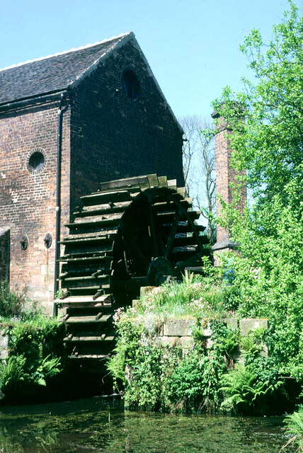
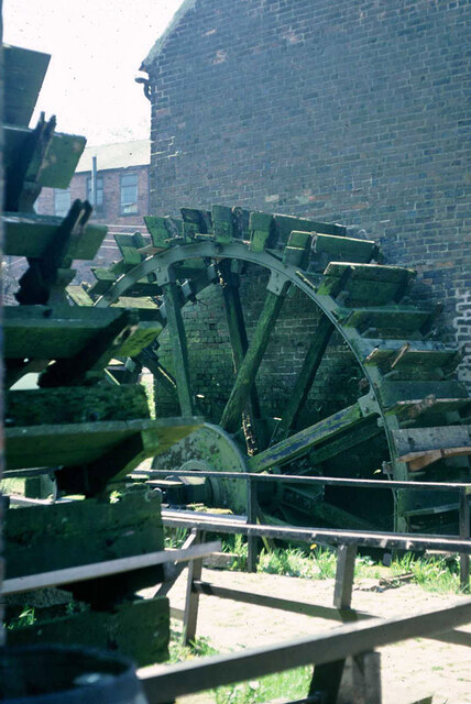
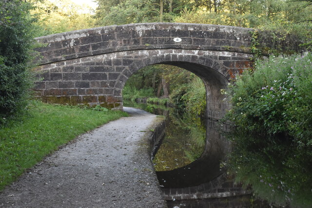
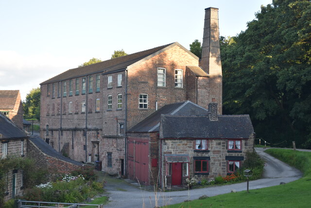
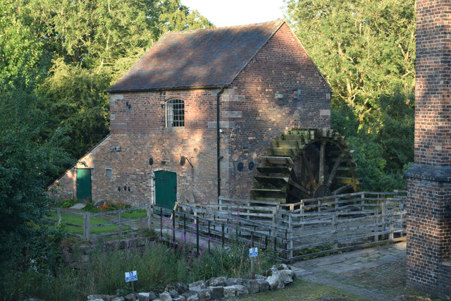
Cheddleton Flint Mill
Cheddleton Flint Mill is a water mill situated in the village of Cheddleton in the English county of Staffordshire. The mill race takes water from the...

Longsdon
Longsdon is a village and civil parish in the Staffordshire Moorlands district of Staffordshire, England, about 1.5 miles (2.4 km) southwest of Leek, on...

St Edwards Hospital tramway
The St Edward's Hospital tramway was a tramway built for Staffordshire County Council for the construction of the St Edward's County Mental Asylum at Cheddleton...

St Edward's Hospital
St Edward's Hospital was a mental health facility at Cheddleton in Staffordshire, England. The hospital closed in 2002 and was converted into apartments...

Cheddleton
Cheddleton is an ancient parish and village in the Staffordshire Moorlands, near to the town of Leek, England. == History == The village is divided into...

Leek Brook railway station
Leek Brook railway station is a passenger station in Staffordshire, Great Britain. == History == Leek Brook railway station was opened by the North Staffordshire...
Nearby Amenities
Located within 500m of 53.076355,-2.0608006Have you been to Cumberledge Pool?
Leave your review of Cumberledge Pool below (or comments, questions and feedback).