Erdeswicke's Pond
Lake, Pool, Pond, Freshwater Marsh in Staffordshire Stafford
England
Erdeswicke's Pond
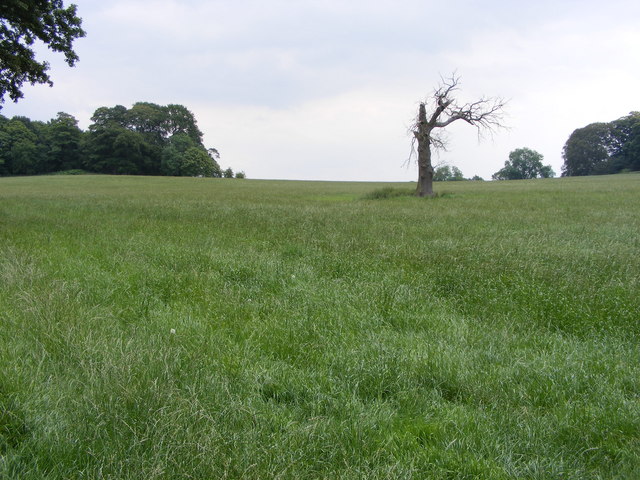
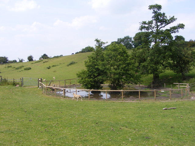
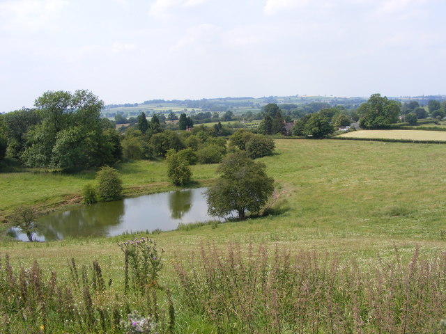
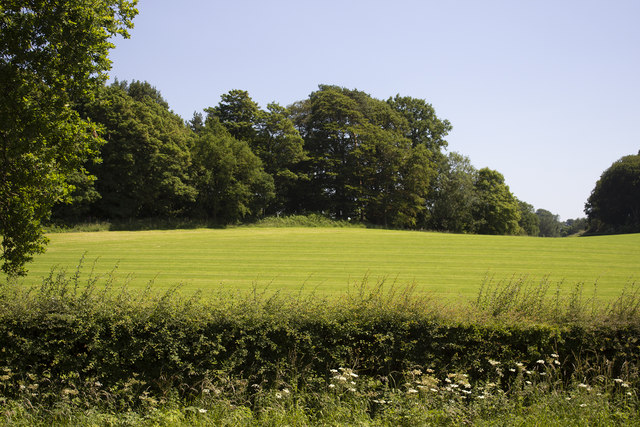
Erdeswicke's Pond, located in Staffordshire, England, is a tranquil freshwater marsh that offers a picturesque landscape and diverse wildlife. Spanning a considerable area, it can be classified as a lake, pool, pond, or freshwater marsh, as it encompasses various features of these water bodies.
The pond is named after Sampson Erdeswicke, a renowned English antiquary and historian who extensively documented the history and topography of Staffordshire. It is believed that the pond has existed for centuries, serving as a source of water for nearby settlements and a habitat for numerous species.
Surrounded by lush greenery and dotted with reeds and water lilies, Erdeswicke's Pond is a haven for birdwatchers and nature enthusiasts. The area attracts a wide range of avian species, including ducks, swans, herons, and various types of waterfowl. The diverse vegetation and the abundance of insects also make it an ideal breeding ground for dragonflies and butterflies.
The pond's clear and still waters provide a reflective surface that mirrors the surrounding landscape, creating a stunning visual spectacle. Visitors can enjoy leisurely walks along the water's edge, observing the delicate balance of nature and perhaps catching a glimpse of the resident otters or water voles.
Erdeswicke's Pond is a protected site, recognized for its ecological significance. Local conservation efforts aim to preserve its natural habitat and promote public awareness of its importance. With its serene ambiance and abundant wildlife, the pond offers a peaceful retreat for nature lovers seeking a respite from the hustle and bustle of everyday life.
If you have any feedback on the listing, please let us know in the comments section below.
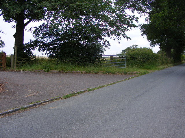
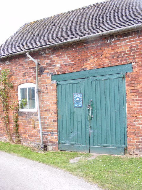
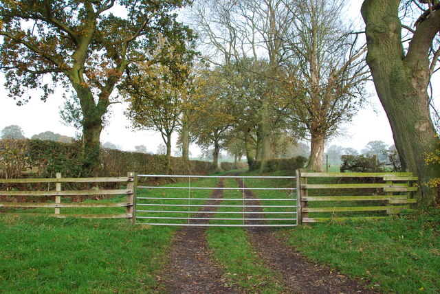
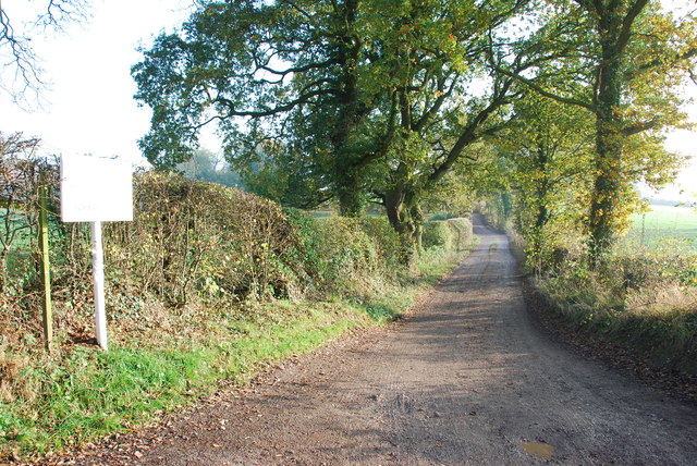
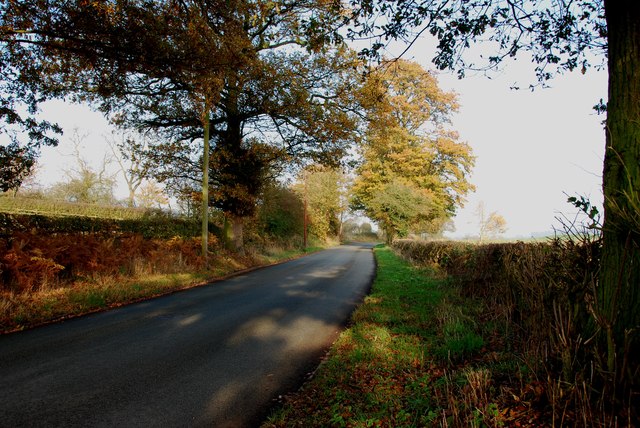
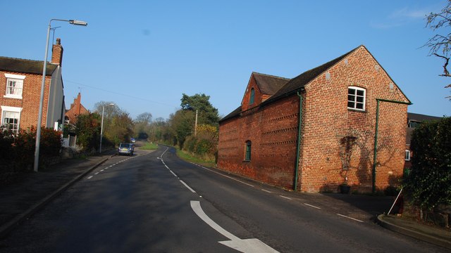
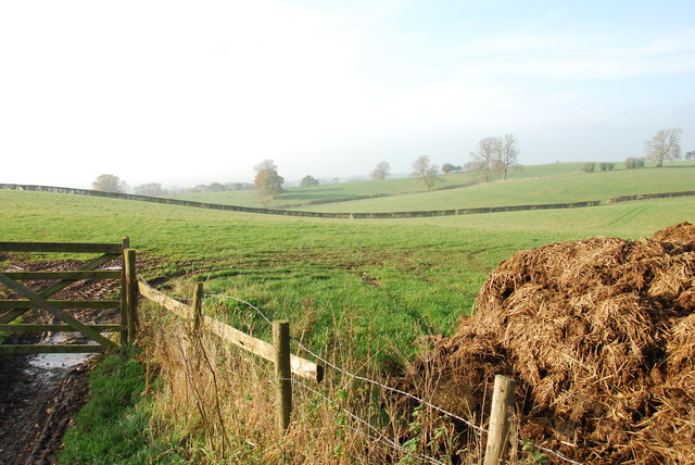
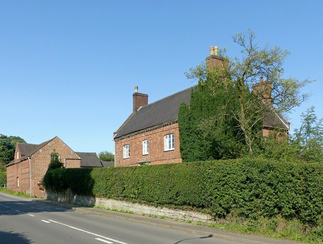
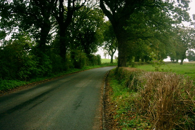
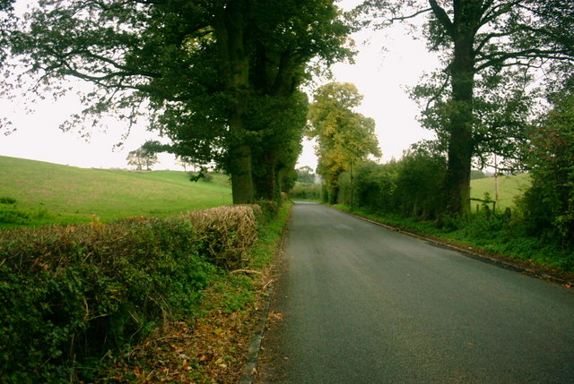
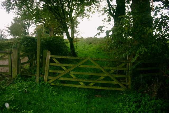
Erdeswicke's Pond Images
Images are sourced within 2km of 52.859778/-2.0607189 or Grid Reference SJ9629. Thanks to Geograph Open Source API. All images are credited.


Erdeswicke's Pond is located at Grid Ref: SJ9629 (Lat: 52.859778, Lng: -2.0607189)
Administrative County: Staffordshire
District: Stafford
Police Authority: Staffordshire
What 3 Words
///butternut.buns.escapes. Near Great Haywood, Staffordshire
Nearby Locations
Related Wikis

Sandon Hall
Sandon Hall is a 19th-century country mansion, the seat of the Earl of Harrowby, at Sandon, Staffordshire, 5 miles (8.0 km) northeast of Stafford. It is...

Sandon, Staffordshire
Sandon is a village in the civil parish of Sandon and Burston, in the Stafford district, in the county of Staffordshire, England. It is about 4.5 miles...

Sandon railway station
Sandon railway station was a railway station opened by the North Staffordshire Railway to serve the village of Sandon, Staffordshire, England. For some...

Salt, Staffordshire
Salt is a village in the Borough of Stafford in Staffordshire, England. It is three miles northeast of Stafford situated half a mile southwest of the A51...

Salt and Sandon railway station
Salt and Sandon railway station was a former British railway station opened by the Stafford and Uttoxeter Railway to serve the village of Salt in Staffordshire...

Gayton, Staffordshire
Gayton is a small rural village and civil parish in Staffordshire, located approximately 1 mile from the A51 between Stone and Stafford. In 2001 it had...

Weston, Staffordshire
Weston is a village and civil parish. within the English county of Staffordshire. The parish is in the local authority of Stafford (non-metropolitan district...
Weston and Ingestre railway station
Weston and Ingestre railway station was a former British railway station opened by the North Staffordshire Railway to serve the village of Ingestre in...
Have you been to Erdeswicke's Pond?
Leave your review of Erdeswicke's Pond below (or comments, questions and feedback).