Walshaw Dean Lower Reservoir
Lake, Pool, Pond, Freshwater Marsh in Yorkshire
England
Walshaw Dean Lower Reservoir
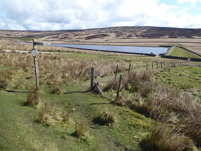
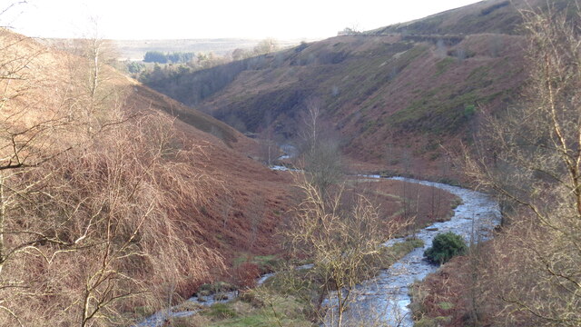
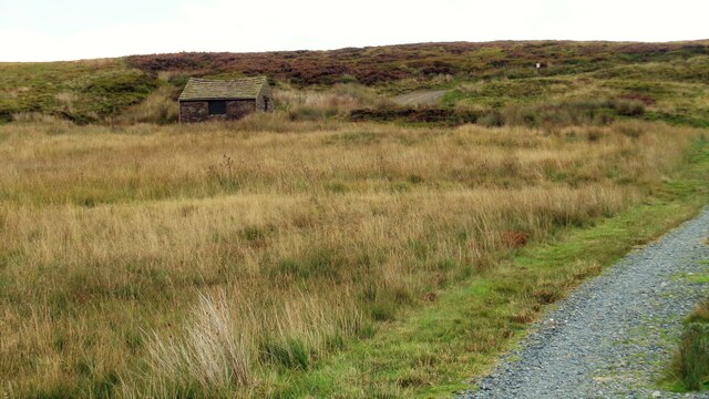
Walshaw Dean Lower Reservoir, located in Yorkshire, is a picturesque freshwater lake nestled amidst the rolling hills of the Pennines. It covers an area of approximately 15 acres and is an important part of the local ecosystem. The reservoir is situated within the vast Walshaw Dean Estate, which is known for its stunning natural beauty and diverse wildlife.
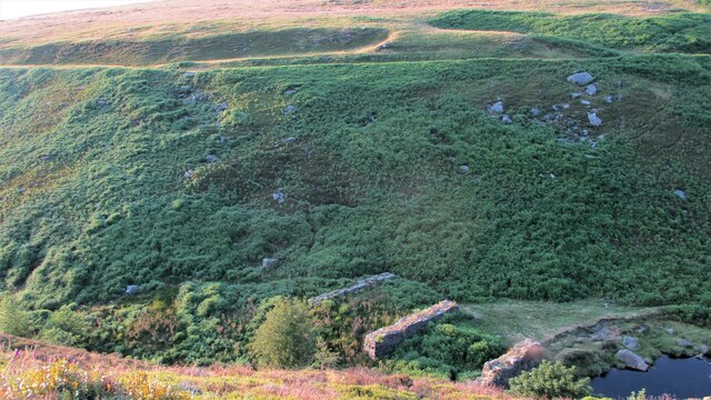
The lake is surrounded by a mixture of woodland and open grassland, creating a unique habitat for a wide range of plant and animal species. The water is crystal clear and supports a thriving ecosystem of fish, including trout and perch, which attract anglers from far and wide.
The reservoir also serves as an important site for birdwatching enthusiasts, as it attracts a variety of bird species throughout the year. Visitors can spot waterfowl such as ducks and swans, as well as rarer species like herons and kingfishers. The surrounding marshland provides a haven for wetland birds, creating a diverse and vibrant bird population.
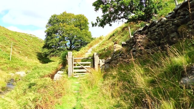
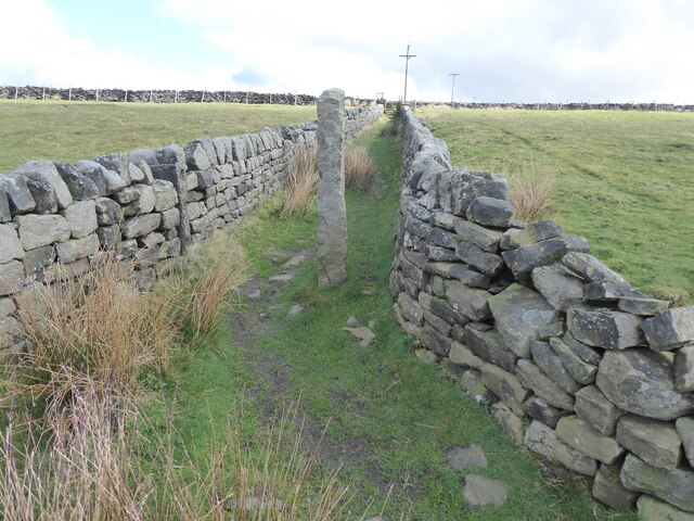
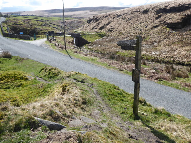
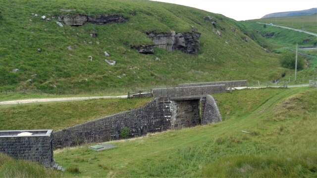
In addition to its ecological significance, Walshaw Dean Lower Reservoir offers a tranquil setting for recreational activities such as walking and picnicking. The surrounding paths and trails provide opportunities for visitors to explore the stunning landscape and observe the local flora and fauna up close.
Overall, Walshaw Dean Lower Reservoir is a haven of natural beauty, offering a peaceful retreat for nature lovers and outdoor enthusiasts alike. Its diverse ecosystem, scenic surroundings, and recreational opportunities make it a popular destination for both locals and tourists seeking a connection with nature.
If you have any feedback on the listing, please let us know in the comments section below.
Walshaw Dean Lower Reservoir Images
Images are sourced within 2km of 53.794653/-2.0621882 or Grid Reference SD9633. Thanks to Geograph Open Source API. All images are credited.


Walshaw Dean Lower Reservoir is located at Grid Ref: SD9633 (Lat: 53.794653, Lng: -2.0621882)
Division: West Riding
Unitary Authority: Calderdale
Police Authority: West Yorkshire
What 3 Words
///bravest.defenders.assures. Near Hebden Bridge, West Yorkshire
Related Wikis

Walshaw Dean Reservoirs
Walshaw Dean Reservoirs are three reservoirs situated above Hebden Bridge, West Yorkshire, England. They are between Hebden Bridge and Top Withins, a ruined...

Blake Dean Railway
The Blake Dean Railway was an approximately 5.5 miles (9 km) long 3 ft (914 mm) gauge narrow gauge railway on the edge of Hardcastle Crags Valley in West...

Top Withens
Top Withens (SD981353) (also known as Top Withins) is a ruined farmhouse near Haworth, West Yorkshire, England, which is said to have been the inspiration...

Hardcastle Crags
Hardcastle Crags is a wooded Pennine valley in West Yorkshire, England, owned by the National Trust. Historically part of the West Riding of Yorkshire...

Boulsworth Hill
Boulsworth Hill is a large expanse of moorland, the highest point of the South Pennines of south-eastern Lancashire, England, separating the Borough of...

Colden, West Yorkshire
Colden is a hamlet in the civil parish of Heptonstall in Calderdale, West Yorkshire, England. Historically part of the West Riding of Yorkshire, the hamlet...

Heptonstall
Heptonstall is a small village and civil parish within the Calderdale borough of West Yorkshire, England, historically part of the West Riding of Yorkshire...

Watersheddles Reservoir
Watersheddles Reservoir is an upland artificial lake in Lancashire, England. The reservoir was opened in 1877 by the Keighley Corporation Water Works,...
Nearby Amenities
Located within 500m of 53.794653,-2.0621882Have you been to Walshaw Dean Lower Reservoir?
Leave your review of Walshaw Dean Lower Reservoir below (or comments, questions and feedback).