Dunmow, Great
Settlement in Essex Uttlesford
England
Dunmow, Great
Dunmow is a charming market town located in the Great Dunmow Parish of Essex, England. Situated in the heart of the picturesque countryside, it is surrounded by beautiful rolling hills and lush green fields. The town is conveniently located just 10 miles north of the city of Chelmsford and 35 miles northeast of London, making it a popular destination for both residents and visitors alike.
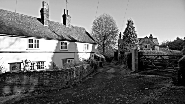
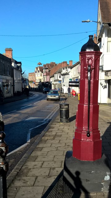
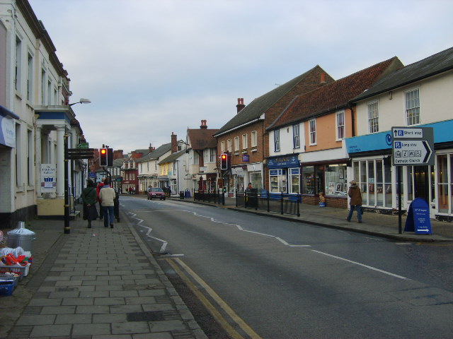
Despite its modest size, Dunmow has a rich history that dates back to the Roman era. The town's name translates to "Meadow on the Hill," which accurately describes its scenic setting. The High Street is the main thoroughfare and is lined with a mix of traditional and modern buildings, creating a delightful blend of old-world charm and contemporary flair.
Dunmow is known for its vibrant community and friendly atmosphere. The town offers a range of amenities, including shops, restaurants, and pubs, catering to both locals and tourists. The weekly market held on Saturdays is a highlight, offering a variety of fresh produce, baked goods, and crafts.
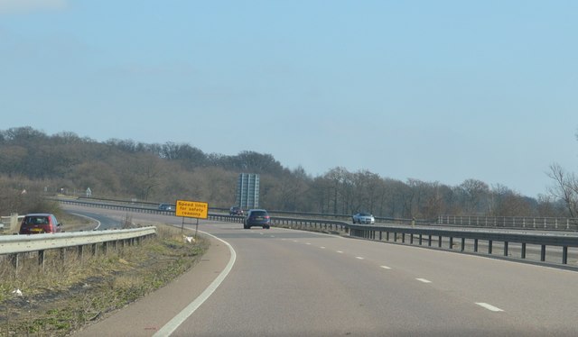
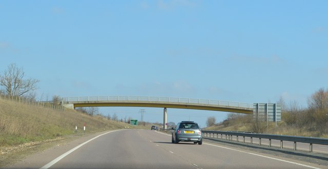
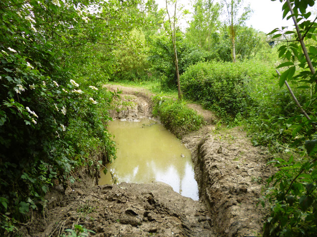
One of Dunmow's most notable landmarks is the Flitch Way, a former railway line turned walking and cycling path. It stretches for 15 miles, providing outdoor enthusiasts with a scenic route to explore the surrounding countryside.
The town also hosts several annual events, such as the Dunmow Flitch Trials, a traditional custom dating back to medieval times. This unique event awards a flitch (side of bacon) to married couples who can prove they have experienced a year of matrimonial bliss.
In summary, Dunmow is a picturesque market town in Essex, offering a blend of history, natural beauty, and a warm community spirit. It is the perfect destination for those seeking a peaceful retreat or a taste of traditional English life.
If you have any feedback on the listing, please let us know in the comments section below.
Dunmow, Great Images
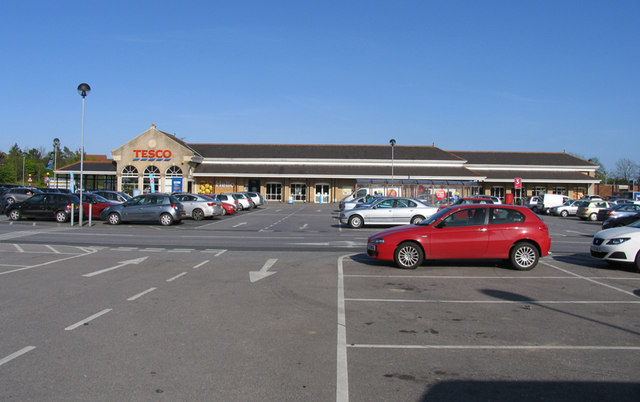
Images are sourced within 2km of 51.871114/0.363784 or Grid Reference TL6221. Thanks to Geograph Open Source API. All images are credited.


Dunmow, Great is located at Grid Ref: TL6221 (Lat: 51.871114, Lng: 0.363784)
Administrative County: Essex
District: Uttlesford
Police Authority: Essex
What 3 Words
///reeling.wreck.declares. Near Great Dunmow, Essex
Nearby Locations
Related Wikis
Great Dunmow
Great Dunmow is a historic market town and civil parish in the Uttlesford district of Essex, England. It lies to the north of the A120 road, approximately...

Old Town Hall, Great Dunmow
The Old Town Hall is a municipal building in the Market Place, Great Dunmow, Essex, England. The structure, which is now in retail use, is a Grade II listed...

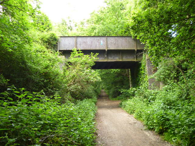
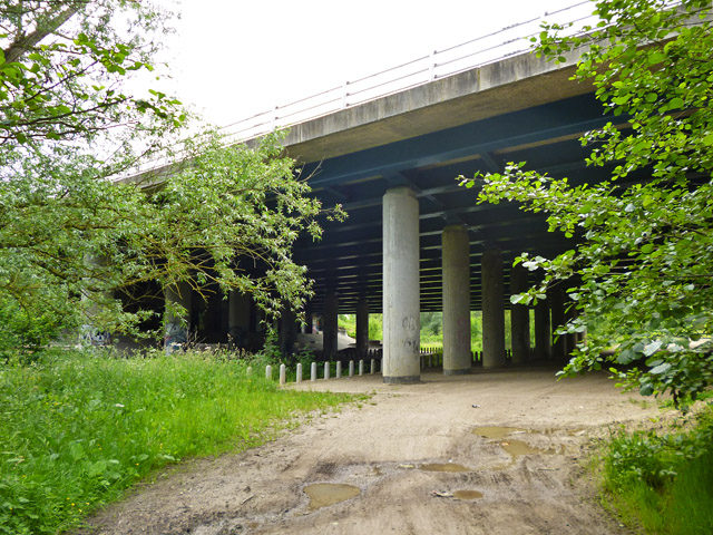
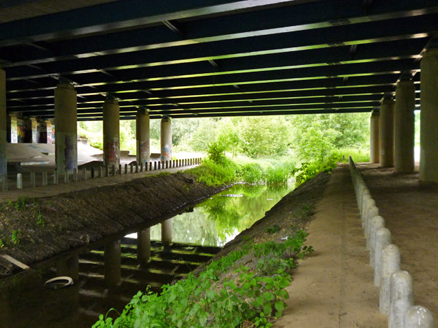
Dunmow railway station
Dunmow railway station was a station serving Great Dunmow, Essex. The station was 9 miles 38 chains (15.25 km) from Bishop's Stortford on the Bishop's...

Talliston House
Talliston House & Gardens is an ex-council house in Essex, England that has been transformed by owner John Trevillian into a miniature palace. The house...
Church End Mill, Great Dunmow
Church End Mill is a grade II listed Tower mill at Great Dunmow, Essex, England which has been converted to residential use. == History == Church End Mill...

Helena Romanes School
Helena Romanes School (also known/abbreviated as HRS) is a coeducational all-through school and sixth form. It is situated in Great Dunmow in the English...

Stane Street (Colchester)
Stane Street is a 39 mi (63 km) Roman road that runs from Ermine Street at Braughing, Hertfordshire to Colchester in Essex. == Route == Stane Street can...

High Wood, Dunmow
High Wood, Dunmow is a 41.5-hectare (103-acre) biological Site of Special Scientific Interest in Great Dunmow in Essex. The local planning authority is...
Nearby Amenities
Located within 500m of 51.871114,0.363784Have you been to Dunmow, Great?
Leave your review of Dunmow, Great below (or comments, questions and feedback).