Olives Wood
Wood, Forest in Essex Uttlesford
England
Olives Wood
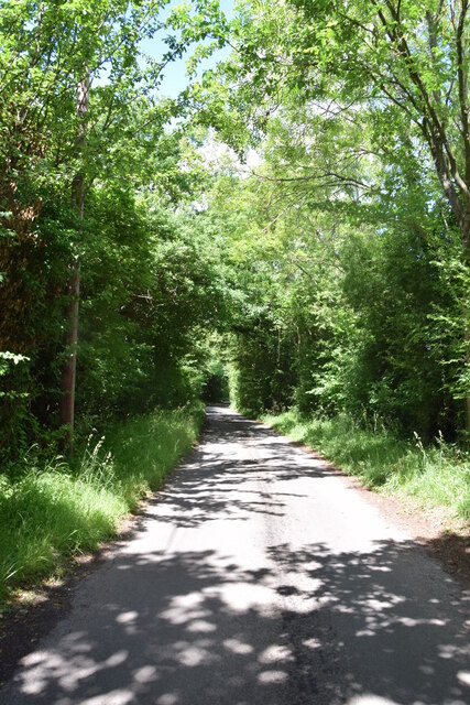
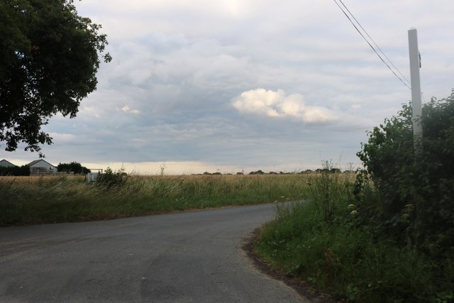
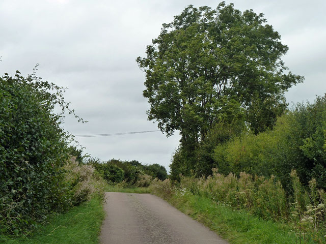
Olives Wood, located in Essex, England, is a picturesque forest renowned for its natural beauty and tranquil atmosphere. The wood covers an area of approximately 100 acres and is a popular destination for nature enthusiasts, hikers, and bird watchers.
The forest boasts a diverse range of trees, including oak, beech, and birch, which creates a rich and vibrant ecosystem. Walking through Olives Wood, visitors can admire the lush greenery, listen to the soothing sounds of birdsong, and breathe in the fresh, crisp air.
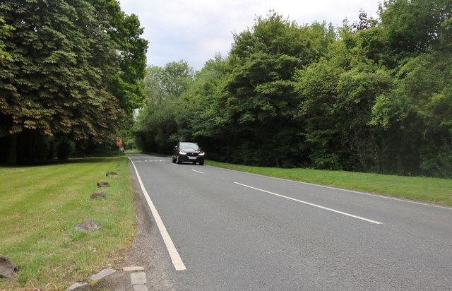
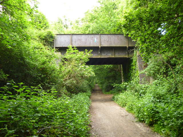
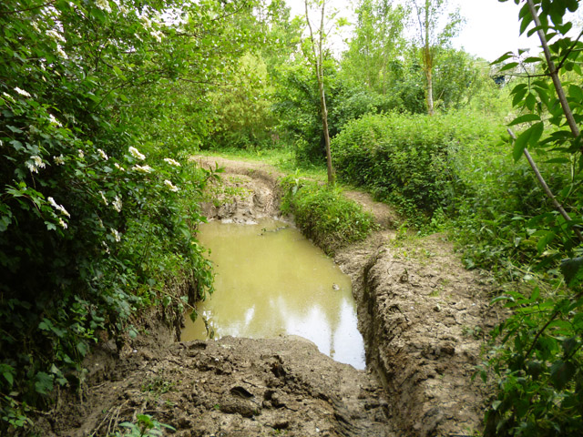
The wood is crisscrossed by a network of well-maintained trails, allowing visitors to explore its enchanting landscapes at their own pace. These trails cater to different levels of difficulty, accommodating both casual strollers and avid hikers. From the trails, visitors can catch glimpses of wildlife such as deer, squirrels, and various species of birds.
Olives Wood is also home to a small lake, providing a serene spot for visitors to relax and enjoy the tranquil surroundings. Fishing is permitted in the lake, and it is a popular activity among both locals and tourists.
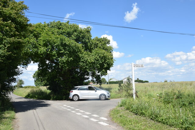
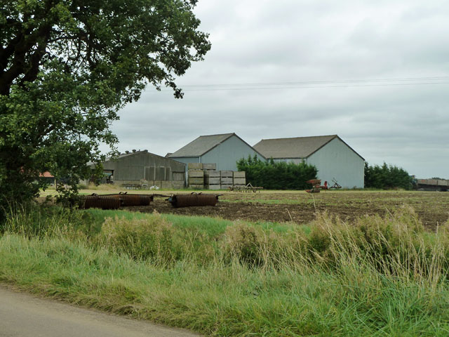
The wood is easily accessible, with ample parking available for visitors. Additionally, there are picnic areas and benches scattered throughout the forest, providing ideal spots for picnickers to enjoy a meal amidst nature.
Overall, Olives Wood offers a peaceful retreat from the hustle and bustle of daily life. Whether one seeks a leisurely stroll, a challenging hike, or simply a place to connect with nature, Olives Wood is a haven for all.
If you have any feedback on the listing, please let us know in the comments section below.
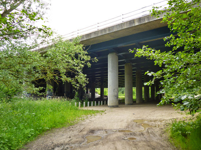
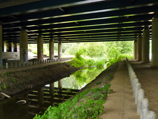
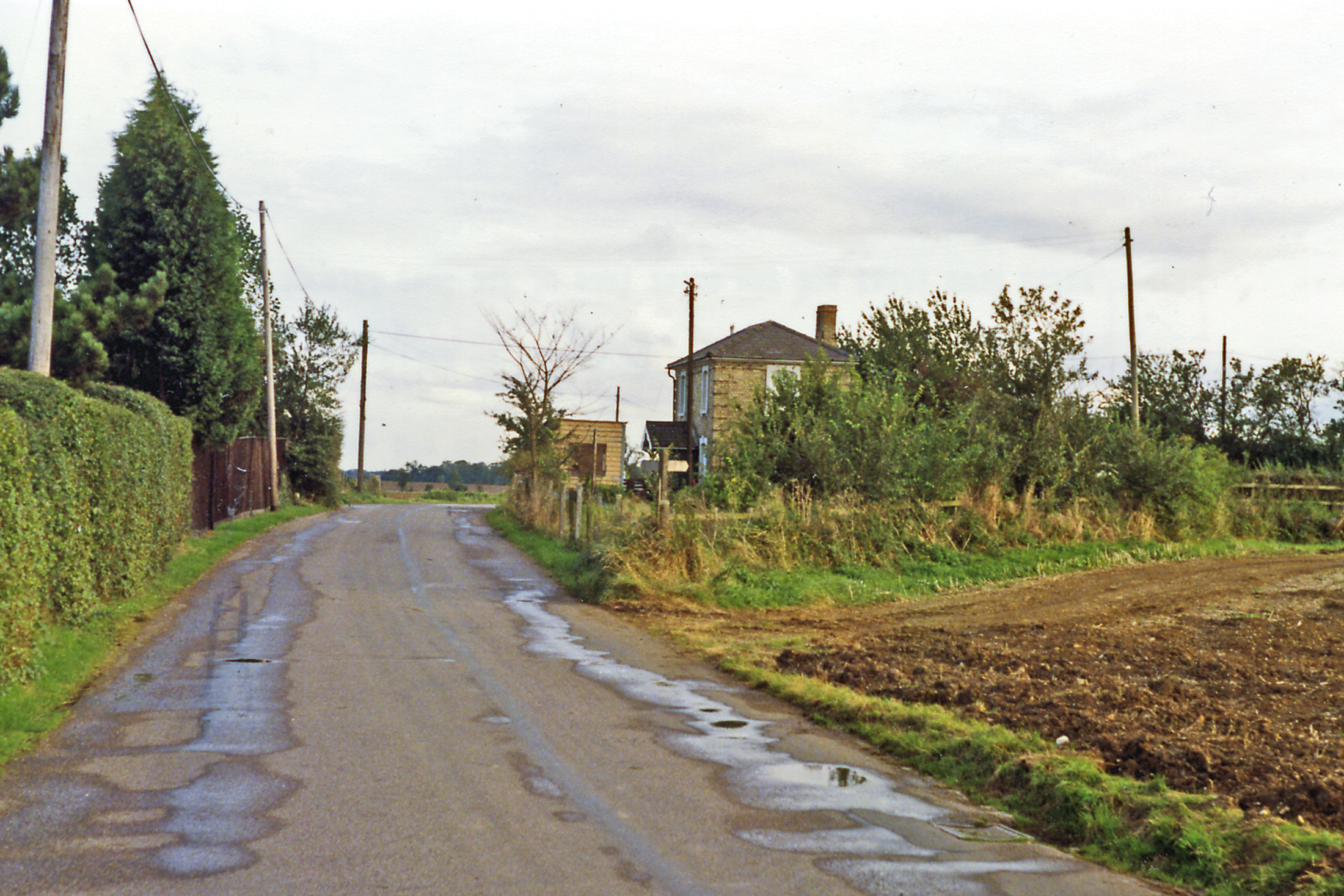
Olives Wood Images
Images are sourced within 2km of 51.866773/0.3610678 or Grid Reference TL6221. Thanks to Geograph Open Source API. All images are credited.
Olives Wood is located at Grid Ref: TL6221 (Lat: 51.866773, Lng: 0.3610678)
Administrative County: Essex
District: Uttlesford
Police Authority: Essex
What 3 Words
///cools.bike.bystander. Near Great Dunmow, Essex
Nearby Locations
Related Wikis
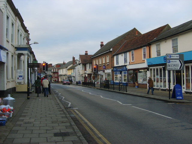
Great Dunmow
Great Dunmow is a historic market town and civil parish in the Uttlesford district of Essex, England. It lies to the north of the A120 road, approximately...

Dunmow railway station
Dunmow railway station was a station serving Great Dunmow, Essex. The station was 9 miles 38 chains (15.25 km) from Bishop's Stortford on the Bishop's...

Old Town Hall, Great Dunmow
The Old Town Hall is a municipal building in the Market Place, Great Dunmow, Essex, England. The structure, which is now in retail use, is a Grade II listed...

Talliston House
Talliston House & Gardens is an ex-council house in Essex, England that has been transformed by owner John Trevillian into a miniature palace. The house...
Church End Mill, Great Dunmow
Church End Mill is a grade II listed Tower mill at Great Dunmow, Essex, England which has been converted to residential use. == History == Church End Mill...

Stane Street (Colchester)
Stane Street is a 39 mi (63 km) Roman road that runs from Ermine Street at Braughing, Hertfordshire to Colchester in Essex. == Route == Stane Street can...

Helena Romanes School
Helena Romanes School (also known/abbreviated as HRS) is a coeducational all-through school and sixth form. It is situated in Great Dunmow in the English...
Easton Lodge railway station
Easton Lodge railway station was located to the west of Great Dunmow, Essex, near Easton Lodge. The station on the Bishop's Stortford to Braintree branch...
Nearby Amenities
Located within 500m of 51.866773,0.3610678Have you been to Olives Wood?
Leave your review of Olives Wood below (or comments, questions and feedback).