Stinton Pool

Lake, Pool, Pond, Freshwater Marsh in Worcestershire Wychavon

England

Stinton Pool

Direction Sign – Signpost on Crown Lane, Emley Lovett Located on the southeast side of a T junction on Crown Lane in Emley Lovett parish. 2 modern arms and pawn finial. See also <a title="https://www.geograph.org.uk/photo/5514924" href="https://www.geograph.org.uk/photo/5514924">Link</a>.

Milestone Society National ID: WO_SO8669
Direction Sign – Signpost on Crown Lane, Emley Lovett Credit: Roadside Relics

Stinton Pool is a picturesque freshwater marsh located in Worcestershire, England. This stunning natural feature is a combination of a lake, pool, pond, and marsh, making it a unique and diverse ecosystem. It covers an area of approximately 50 acres and is surrounded by lush greenery and rolling hills, creating a serene and tranquil environment.

The pool is predominantly fed by freshwater streams and rainfall, ensuring a constant flow of clean and clear water. The marshy areas around the pool are characterized by dense vegetation, including reeds, rushes, and water lilies, providing a habitat for various plant and animal species.

Stinton Pool is home to a wide array of wildlife, making it a popular spot for nature enthusiasts and birdwatchers. It serves as an important breeding ground and nesting site for numerous bird species, including swans, ducks, herons, and kingfishers. Birdwatchers can often spot these beautiful creatures gliding across the water or perched on the branches of surrounding trees.

The pool also supports a diverse range of aquatic life, such as fish, frogs, and insects. These species thrive in the nutrient-rich waters and contribute to the overall ecological balance of the ecosystem.

Visitors to Stinton Pool can enjoy activities such as fishing, boating, and nature walks. The peaceful surroundings and stunning vistas provide a perfect escape from the hustle and bustle of city life. Whether you are seeking solitude or a chance to explore the wonders of nature, Stinton Pool is a must-visit destination in Worcestershire.

If you have any feedback on the listing, please let us know in the comments section below.

Stinton Pool Images

Images are sourced within 2km of 52.310603/-2.2228038 or Grid Reference SO8468. Thanks to Geograph Open Source API. All images are credited.

Direction Sign – Signpost on Crown Lane, Emley Lovett Located on the southeast side of a T junction on Crown Lane in Emley Lovett parish. 2 modern arms and pawn finial. See also <a title="https://www.geograph.org.uk/photo/5514924" href="https://www.geograph.org.uk/photo/5514924">Link</a>.

Milestone Society National ID: WO_SO8669
Direction Sign – Signpost on Crown Lane, Emley Lovett
Located on the southeast side of a T junction on Crown Lane in Emley Lovett parish. 2 modern arms and pawn finial. See also Link. Milestone Society National ID: WO_SO8669
Concrete Milestone, A449, Crossway Green North of the Mitre Oak pub (<a href="https://www.geograph.org.uk/photo/2974109">SO8468 : The Mitre Oak near Crossway Green, Worcestershire</a>) and almost opposite the oak-framed church of St Bishop's Wood. On the verge of the South bound carriageway of the trunk road. The contextual view showing the reverse of the milestone is <a href="https://www.geograph.org.uk/photo/4427744">SO8468 : Milestone on the A449 south of Hartlebury</a>.

Inscription: A449 / Worcester 9 / 5 Kidderminster / C. C. W.

Milestone Society National ID: WO_WOKD09
Concrete Milestone, A449, Crossway Green
North of the Mitre Oak pub (SO8468 : The Mitre Oak near Crossway Green, Worcestershire) and almost opposite the oak-framed church of St Bishop's Wood. On the verge of the South bound carriageway of the trunk road. The contextual view showing the reverse of the milestone is SO8468 : Milestone on the A449 south of Hartlebury. Inscription: A449 / Worcester 9 / 5 Kidderminster / C. C. W. Milestone Society National ID: WO_WOKD09
The Mitre Oak Inn A large Marston's food pub along the A449 Worcester Road at Crossway Green.
The Mitre Oak Inn
A large Marston's food pub along the A449 Worcester Road at Crossway Green.
Ombersley Golf Club Clubhouse (1), Bishops Wood Road, near Ombersley, Worcs The club was developed by a local farming family who continue to run it. The course opened in late 1991. The impressive Clubhouse includes a bar and restaurant which is open to the public, including those who do not play golf.  There is a large car park in front with access from Bishops Wood Road.

<a href="https://www.geograph.org.uk/photo/7436394">SO8267 : Ombersley Golf Club Clubhouse (2), Bishops Wood Road, near Ombersley, Worcs</a>.
Ombersley Golf Club Clubhouse (1), Bishops Wood Road, near Ombersley, Worcs
The club was developed by a local farming family who continue to run it. The course opened in late 1991. The impressive Clubhouse includes a bar and restaurant which is open to the public, including those who do not play golf. There is a large car park in front with access from Bishops Wood Road. SO8267 : Ombersley Golf Club Clubhouse (2), Bishops Wood Road, near Ombersley, Worcs.
Plough in front of Clubhouse, Ombersley Golf Club, near Ombersley, Worcs The Ombersley Golf Club is located in a very rural area and on former farmland. The plough is a symbol of this.

<a href="https://www.geograph.org.uk/photo/7436273">SO8367 : Ombersley Golf Club Clubhouse (1), Bishops Wood Road, near Ombersley, Worcs</a>.
<a href="https://www.geograph.org.uk/photo/7436394">SO8267 : Ombersley Golf Club Clubhouse (2), Bishops Wood Road, near Ombersley, Worcs</a>.
Plough in front of Clubhouse, Ombersley Golf Club, near Ombersley, Worcs
The Ombersley Golf Club is located in a very rural area and on former farmland. The plough is a symbol of this. SO8367 : Ombersley Golf Club Clubhouse (1), Bishops Wood Road, near Ombersley, Worcs. SO8267 : Ombersley Golf Club Clubhouse (2), Bishops Wood Road, near Ombersley, Worcs.
Ombersley Golf Club Clubhouse (2), Bishops Wood Road, near Ombersley, Worcs The clubhouse includes a bar and restaurant and an extensively stocked golf shop.

<a href="https://www.geograph.org.uk/photo/7436273">SO8367 : Ombersley Golf Club Clubhouse (1), Bishops Wood Road, near Ombersley, Worcs</a>.
Ombersley Golf Club Clubhouse (2), Bishops Wood Road, near Ombersley, Worcs
The clubhouse includes a bar and restaurant and an extensively stocked golf shop. SO8367 : Ombersley Golf Club Clubhouse (1), Bishops Wood Road, near Ombersley, Worcs.
Path by Ombersley Golf Course Clubhouse to Driving Range, near Ombersley, Worcs The path leads to the Driving Range, which is the green building in the distance.
Path by Ombersley Golf Course Clubhouse to Driving Range, near Ombersley, Worcs
The path leads to the Driving Range, which is the green building in the distance.
Golf buggies at Ombersley Golf Club, Bishops Wood Road, near Ombersley, Worcs Golf buggies (a.k.a. golf carts) parked near the Clubhouse.
Golf buggies at Ombersley Golf Club, Bishops Wood Road, near Ombersley, Worcs
Golf buggies (a.k.a. golf carts) parked near the Clubhouse.
Driving range (1) at Ombersley Golf Course, near Ombersley, Worcs The driving range is a facility where golfers can practice their golf swing.

<a href="https://www.geograph.org.uk/photo/7437813">SO8267 : Driving range (2) at Ombersley Golf Course, near Ombersley, Worcs</a>.
<a href="https://www.geograph.org.uk/photo/7439298">SO8267 : Area in front of Driving Range, Ombersley Golf Course, near Ombersley, Worcs</a>.
Driving range (1) at Ombersley Golf Course, near Ombersley, Worcs
Area in front of Driving Range, Ombersley Golf Course, near Ombersley, Worcs The balls from the Driving Range land in this area, which was photographed from the Range. Looking at the photograph enlarged, there are dozens and dozens of balls which at some stage, after play, would have to be collected.

<a href="https://www.geograph.org.uk/photo/7437795">SO8267 : Driving range (1) at Ombersley Golf Course, near Ombersley, Worcs</a>.
Area in front of Driving Range, Ombersley Golf Course, near Ombersley, Worcs
The balls from the Driving Range land in this area, which was photographed from the Range. Looking at the photograph enlarged, there are dozens and dozens of balls which at some stage, after play, would have to be collected. SO8267 : Driving range (1) at Ombersley Golf Course, near Ombersley, Worcs.
A449 near Crossway Green
Stourport Road near Crossway Green
A449 Southbound near Acton
MPK Dunhampton Service Station, Worcester Road
The Beehive, Doverdale
Owl Hill, Comhampton
Ombersley Golf Club
Ombersley Golf Club
Bishops Wood, Crossway Green Power cables at Bishop's Wood.
Bishops Wood, Crossway Green
Power cables at Bishop's Wood.
Show me another place!

Stinton Pool is located at Grid Ref: SO8468 (Lat: 52.310603, Lng: -2.2228038)

Administrative County: Worcestershire

District: Wychavon

Police Authority: West Mercia

What 3 Words

///overtones.entertainer.cattle. Near Hartlebury, Worcestershire

Related Wikis

Crossway Green

Crossway Green is a village in Worcestershire, England.

Snead's Green

Snead's Green, sometimes written Sneads Green, is an area of Droitwich Spa, Worcestershire, England.Francis Moule, of Snead's Green House, sold the manorial...

Dunhampton

Dunhampton is a village in Worcestershire, England.

Cutnall Green Halt railway station

Cutnall Green Halt was a railway station in Worcestershire, England, serving the nearby village of Hampton Lovett on the Oxford, Worcester and Wolverhampton...
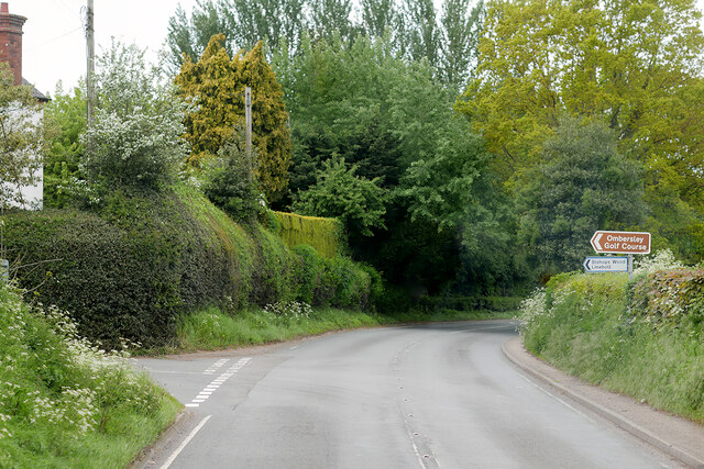
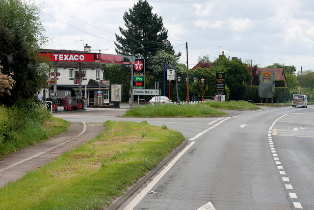
Hartlebury

Hartlebury is a village and civil parish in the Wychavon district of Worcestershire, England. It is 4 miles (6.4 km) south of Kidderminster. The village...

Elmley Lovett

Elmley Lovett in Worcestershire, England is a civil parish whose residents' homes are quite loosely clustered east of its Hartlebury Trading Estate, as...

Hartlebury railway station

Hartlebury railway station serves the village of Hartlebury in Worcestershire, England. All trains serving the station are operated by West Midlands Trains...
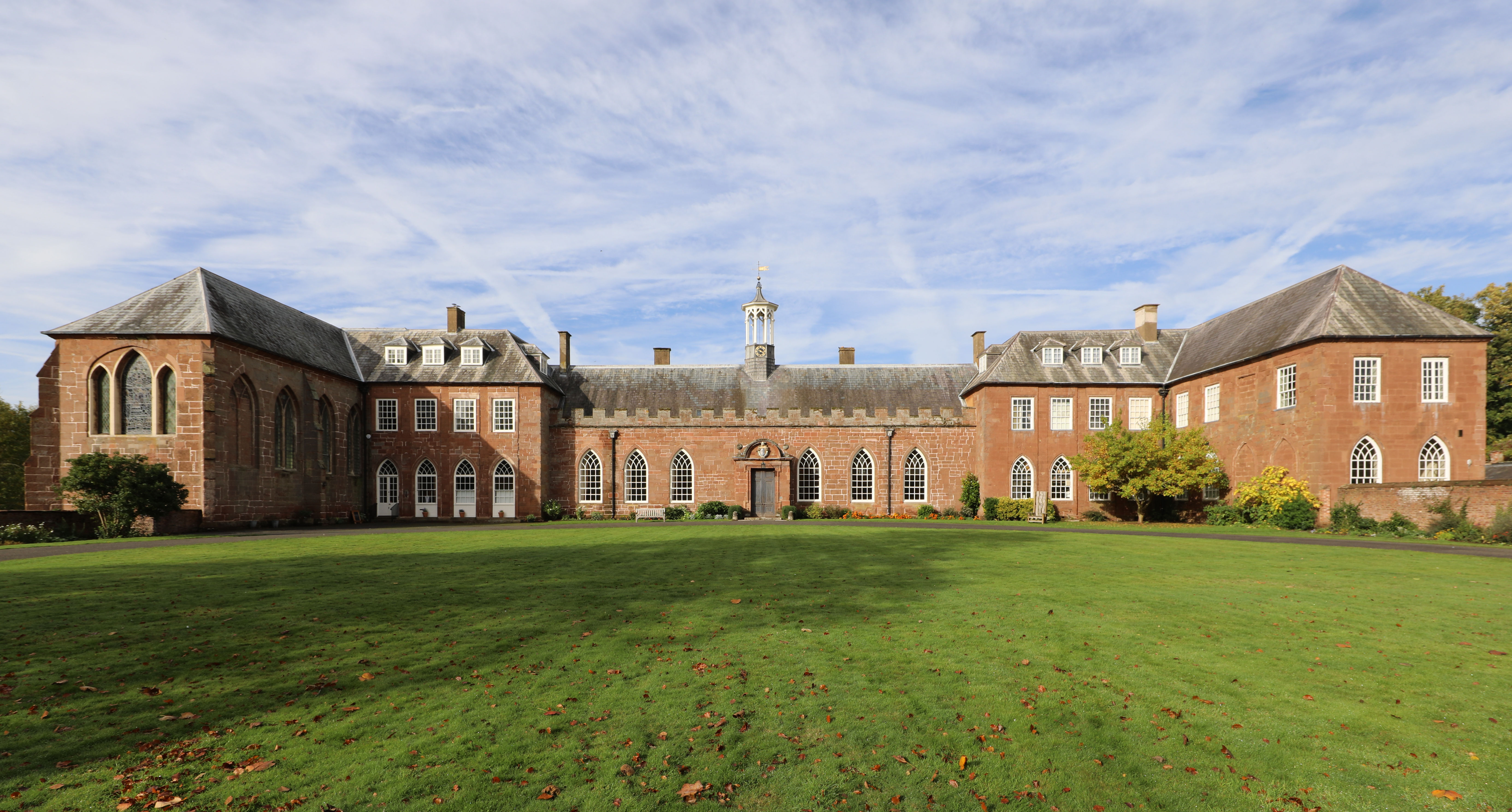
Hartlebury Castle

Hartlebury Castle, a Grade I listed building, near Hartlebury in Worcestershire, central England, was built in the mid-13th century as a fortified manor...

Nearby Amenities

Located within 500m of 52.310603,-2.2228038
Power: tower
Source: bing
Lat/Long: 52.3092188/-2.2203591
Location Transition: yes
Power: tower
Source: bing
Lat/Long: 52.3115029/-2.2284873
Power: tower
Source: bing
Lat/Long: 52.310772/-2.2237357
Power: tower
Source: bing
Lat/Long: 52.312362/-2.2212939
Power: tower
Source: bing
Lat/Long: 52.3123374/-2.2266323
Power: pole
Lat/Long: 52.3099406/-2.2165225
Power: pole
Lat/Long: 52.3105785/-2.2188614
Power: pole
Lat/Long: 52.3108745/-2.2199048
Power: pole
Lat/Long: 52.3112648/-2.2207095
Power: pole
Lat/Long: 52.311696/-2.2215423
Power: pole
Lat/Long: 52.3121757/-2.2224958
Power: pole
Lat/Long: 52.3125143/-2.2231543
Pepwell Farm
Power: pole
Transformer: distribution
Voltage Primary: 11000
Lat/Long: 52.3150903/-2.2229491
Power: pole
Lat/Long: 52.3141434/-2.2229719
Power: pole
Lat/Long: 52.3133694/-2.2229947
Power: pole
Lat/Long: 52.3127086/-2.2239764
Power: pole
Lat/Long: 52.3130292/-2.2253135
Power: pole
Lat/Long: 52.3133489/-2.2266398
Power: pole
Lat/Long: 52.3135933/-2.227533
Norchard
Power: pole
Transformer: distribution
Voltage Primary: 11000
Lat/Long: 52.3141459/-2.2271803
Power: pole
Lat/Long: 52.3102751/-2.2177108
Power: pole
Lat/Long: 52.3096995/-2.2181962
Power: pole
Lat/Long: 52.3088111/-2.2189674
Power: pole
Lat/Long: 52.3080473/-2.2196406
Power: pole
Lat/Long: 52.307461/-2.2201529
Acton Hall
Power: pole
Transformer: distribution
Voltage Primary: 11000
Lat/Long: 52.3068768/-2.220688
The data included in this document is from www.openstreetmap.org. The data is made available under ODbL.

Have you been to Stinton Pool?

Leave your review of Stinton Pool below (or comments, questions and feedback).