Captain's Pool
Lake, Pool, Pond, Freshwater Marsh in Worcestershire Wyre Forest
England
Captain's Pool
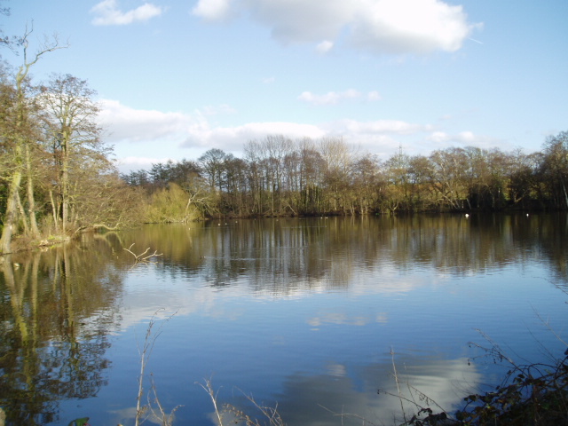
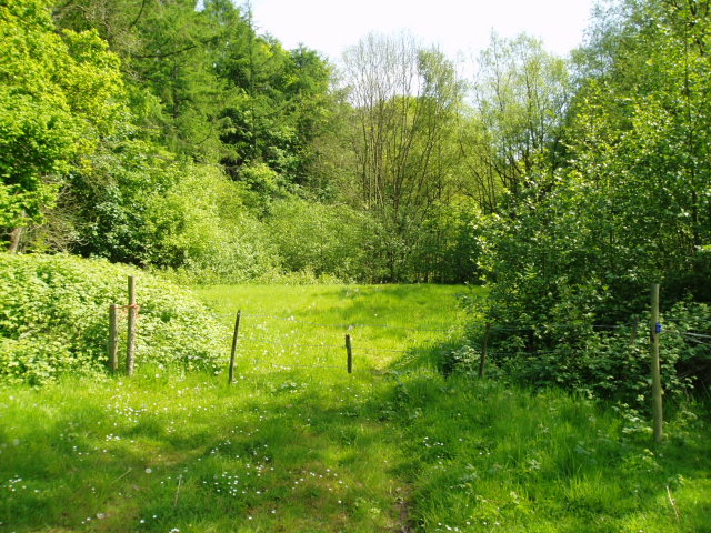
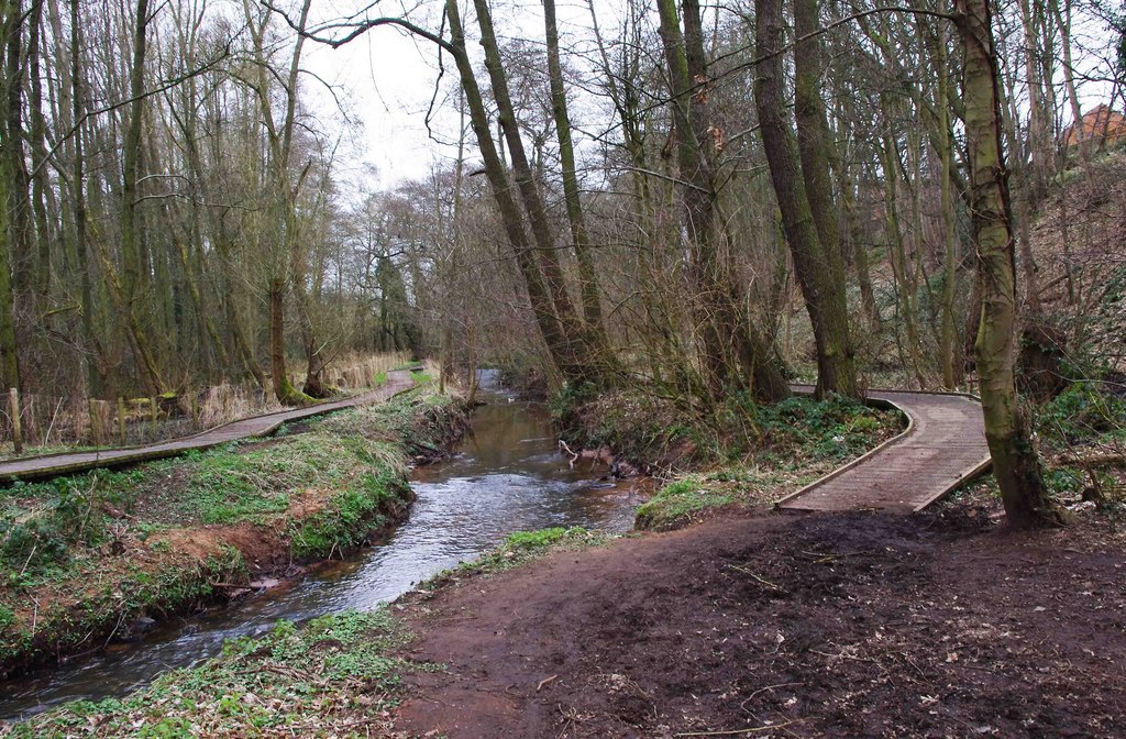
Captain's Pool is a picturesque body of water located in Worcestershire, England. This freshwater lake, also referred to as a pool or pond, is renowned for its natural beauty and tranquil atmosphere. Covering an area of approximately 10 acres, Captain's Pool is nestled amidst lush green surroundings, offering visitors a serene escape from the hustle and bustle of everyday life.
The pool is notable for its crystal-clear waters, which reflect the surrounding landscape, creating a stunning visual spectacle. The lake is fed by several small streams, ensuring a constant flow of fresh water. This, combined with the absence of motorized watercraft, contributes to the pool's pristine condition, making it an ideal habitat for various aquatic species.
Surrounded by reed beds and freshwater marshes, Captain's Pool provides a haven for a diverse range of flora and fauna. The marshy areas support the growth of water-loving plants such as reeds, rushes, and water lilies, creating a vibrant and ecologically rich environment. Birdwatchers flock to the pool, as it attracts a variety of avian species, including ducks, herons, kingfishers, and swans.
For nature enthusiasts and anglers alike, Captain's Pool offers ample opportunities for leisure activities. Fishing is a popular pastime here, with the lake teeming with fish, including carp, pike, and roach. Several fishing platforms and pegs are strategically placed along the lake's edge, providing anglers with convenient spots to cast their lines and enjoy a day of fishing.
Overall, Captain's Pool is a hidden gem in Worcestershire, offering visitors a chance to immerse themselves in the beauty of nature, observe wildlife, and engage in recreational activities in a peaceful and unspoiled setting.
If you have any feedback on the listing, please let us know in the comments section below.
Captain's Pool Images
Images are sourced within 2km of 52.372068/-2.2234806 or Grid Reference SO8474. Thanks to Geograph Open Source API. All images are credited.


Captain's Pool is located at Grid Ref: SO8474 (Lat: 52.372068, Lng: -2.2234806)
Administrative County: Worcestershire
District: Wyre Forest
Police Authority: West Mercia
What 3 Words
///upon.become.damp. Near Kidderminster, Worcestershire
Nearby Locations
Related Wikis

Wyre Forest School
Wyre Forest School (formerly Stourminster Special School) is a school in Kidderminster, Worcestershire, for students with complex special needs, and...
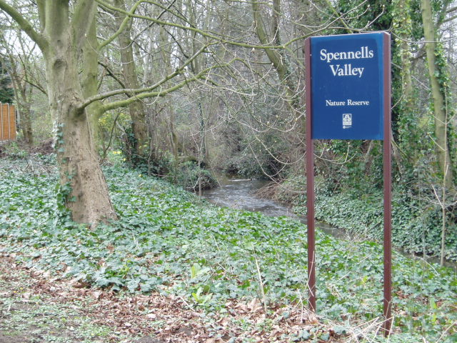
Spennells Valley
Spennells Valley is a local nature reserve in south-east Kidderminster, in Worcestershire, England. == Description == It was declared a local nature reserve...
Stone, Worcestershire
Stone is a village and civil parish in the Wyre Forest District of Worcestershire, England. Of Anglo-Saxon origin, it lies two miles south-east of Kidderminster...

Coalyard Miniature Railway
The Coalyard Miniature Railway, opened in 1988, and relaid in 1990 as a 7+1⁄4 in (184 mm) gauge railway, operates in the grounds of the Severn Valley Railway...
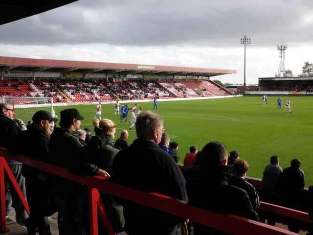
Aggborough Stadium
Aggborough Stadium is a football stadium in Kidderminster, England. It is the home ground of Kidderminster Harriers, and has a capacity of 7,000, of which...
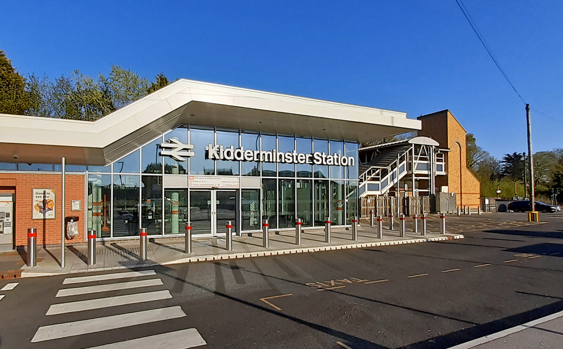
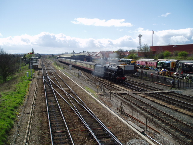
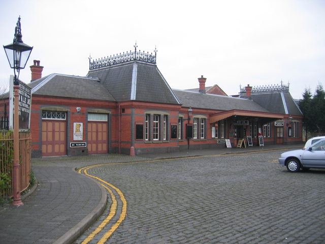
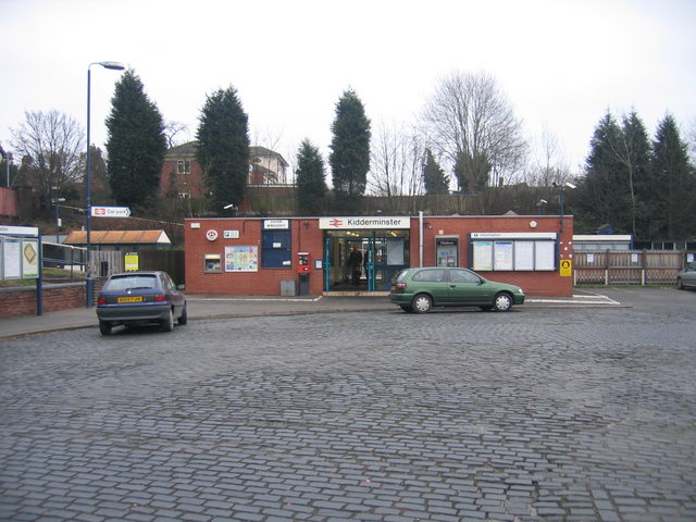
Kidderminster railway station
Kidderminster railway station is the main station serving the large town of Kidderminster, Worcestershire, England and the wider Wyre Forest district....
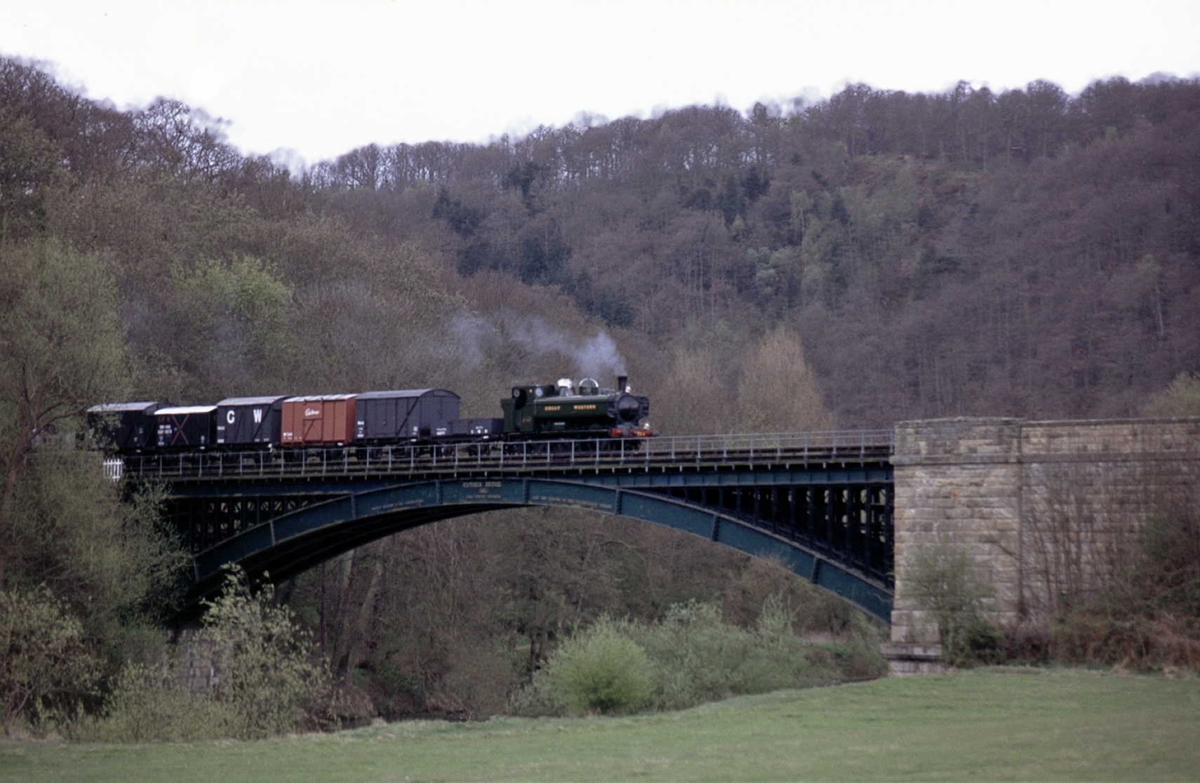
Severn Valley Railway
The Severn Valley Railway is a standard gauge heritage railway in Shropshire and Worcestershire, England, named after the company that originally built...

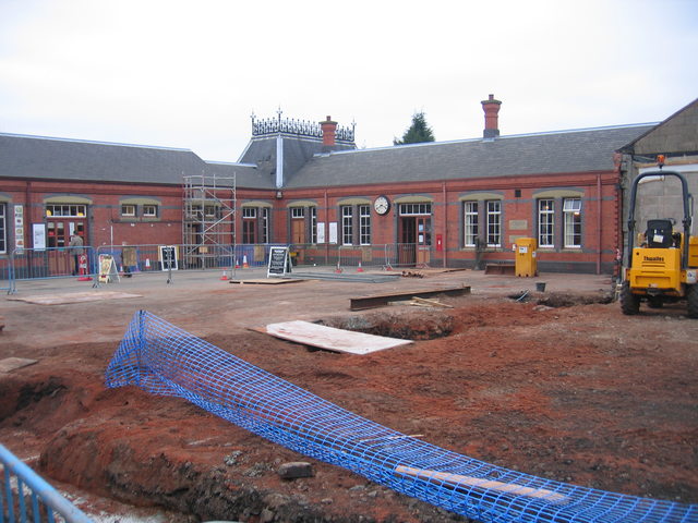
Kidderminster Town railway station
Kidderminster Town is a railway station situated in the town of Kidderminster, Worcestershire, England. It is operated by the Severn Valley Railway, a...
Nearby Amenities
Located within 500m of 52.372068,-2.2234806Have you been to Captain's Pool?
Leave your review of Captain's Pool below (or comments, questions and feedback).