Spennells
Settlement in Worcestershire Wyre Forest
England
Spennells
Spennells is a district located in the town of Kidderminster, Worcestershire, England. Situated to the south of the town center, it is a primarily residential area with a population of around 8,000 people. Spennells is part of the Wyre Forest District and falls within the parliamentary constituency of Wyre Forest.
The district is characterized by its well-maintained and attractive housing estates, which consist mainly of semi-detached and terraced houses, offering a mix of private and social housing. There are also a number of green spaces and parks within the area, providing opportunities for outdoor activities and recreation.
Spennells benefits from good transport links, with several bus routes connecting it to Kidderminster and other nearby towns. The district is also conveniently located close to the A456 road, providing easy access to the wider Worcestershire area.
Residents of Spennells have access to a range of amenities, including local shops, supermarkets, and community facilities. The district is served by several primary schools, making it an attractive location for families with young children. For secondary education, students typically attend schools in Kidderminster town center.
Overall, Spennells offers a pleasant and convenient place to live, with its well-designed housing estates, access to local amenities, and its proximity to the town center of Kidderminster.
If you have any feedback on the listing, please let us know in the comments section below.
Spennells Images
Images are sourced within 2km of 52.368652/-2.230266 or Grid Reference SO8474. Thanks to Geograph Open Source API. All images are credited.


Spennells is located at Grid Ref: SO8474 (Lat: 52.368652, Lng: -2.230266)
Administrative County: Worcestershire
District: Wyre Forest
Police Authority: West Mercia
What 3 Words
///quest.ladder.filer. Near Kidderminster, Worcestershire
Nearby Locations
Related Wikis
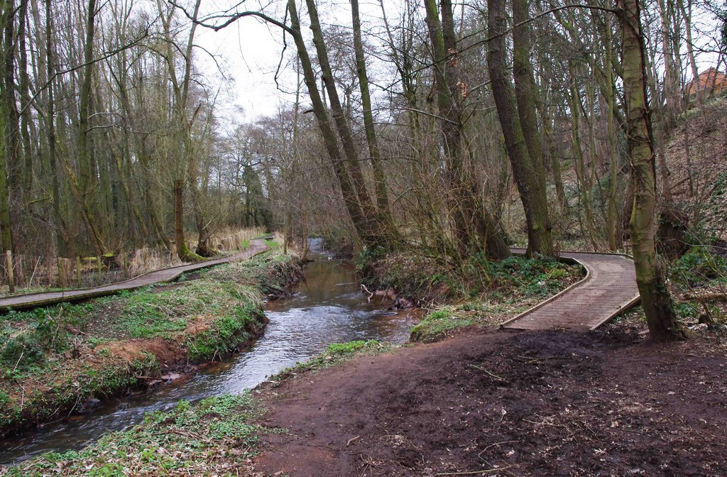
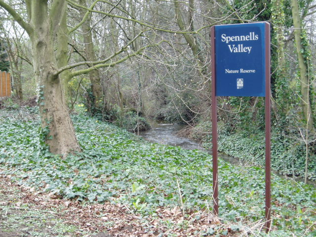
Spennells Valley
Spennells Valley is a local nature reserve in south-east Kidderminster, in Worcestershire, England. == Description == It was declared a local nature reserve...

Wyre Forest School
Wyre Forest School (formerly Stourminster Special School) is a school in Kidderminster, Worcestershire, for students with complex special needs, and...
Summerfield Research Station
The Summerfield Research Station is a development and production site for solid rocket motors in the United Kingdom officially formed on 1 September 1951...

Aggborough Stadium
Aggborough Stadium is a football stadium in Kidderminster, England. It is the home ground of Kidderminster Harriers, and has a capacity of 7,000, of which...
Stone, Worcestershire
Stone is a village and civil parish in the Wyre Forest District of Worcestershire, England. Of Anglo-Saxon origin, it lies two miles south-east of Kidderminster...

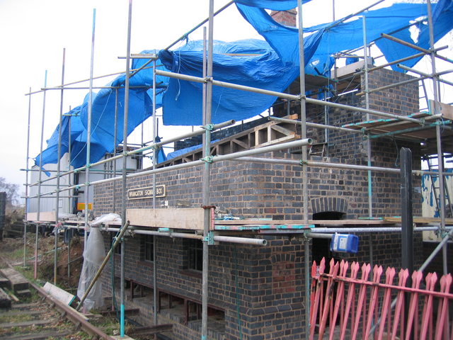
Coalyard Miniature Railway
The Coalyard Miniature Railway, opened in 1988, and relaid in 1990 as a 7+1⁄4 in (184 mm) gauge railway, operates in the grounds of the Severn Valley Railway...
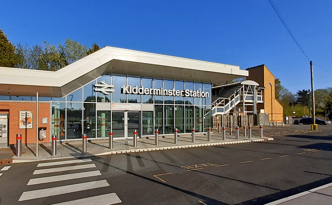
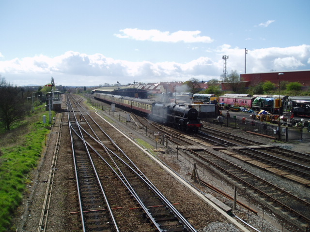
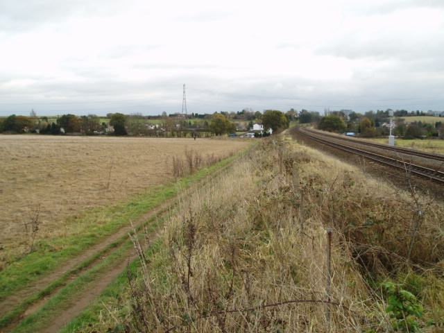
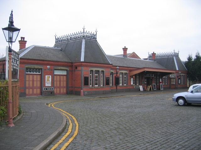
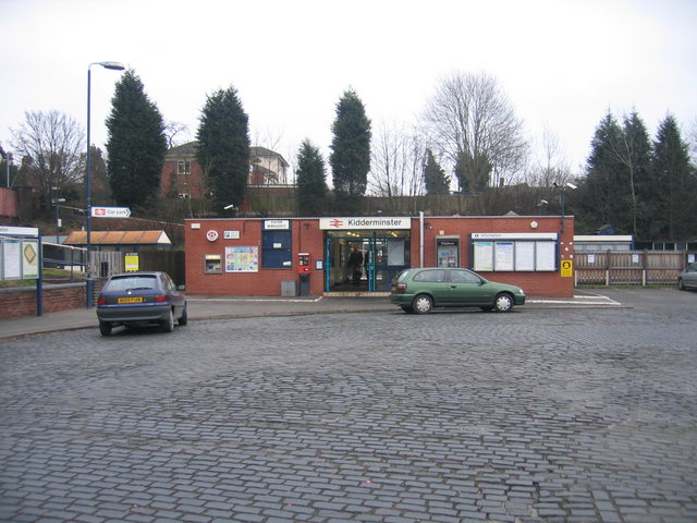
Kidderminster railway station
Kidderminster railway station is the main station serving the large town of Kidderminster, Worcestershire, England and the wider Wyre Forest district....
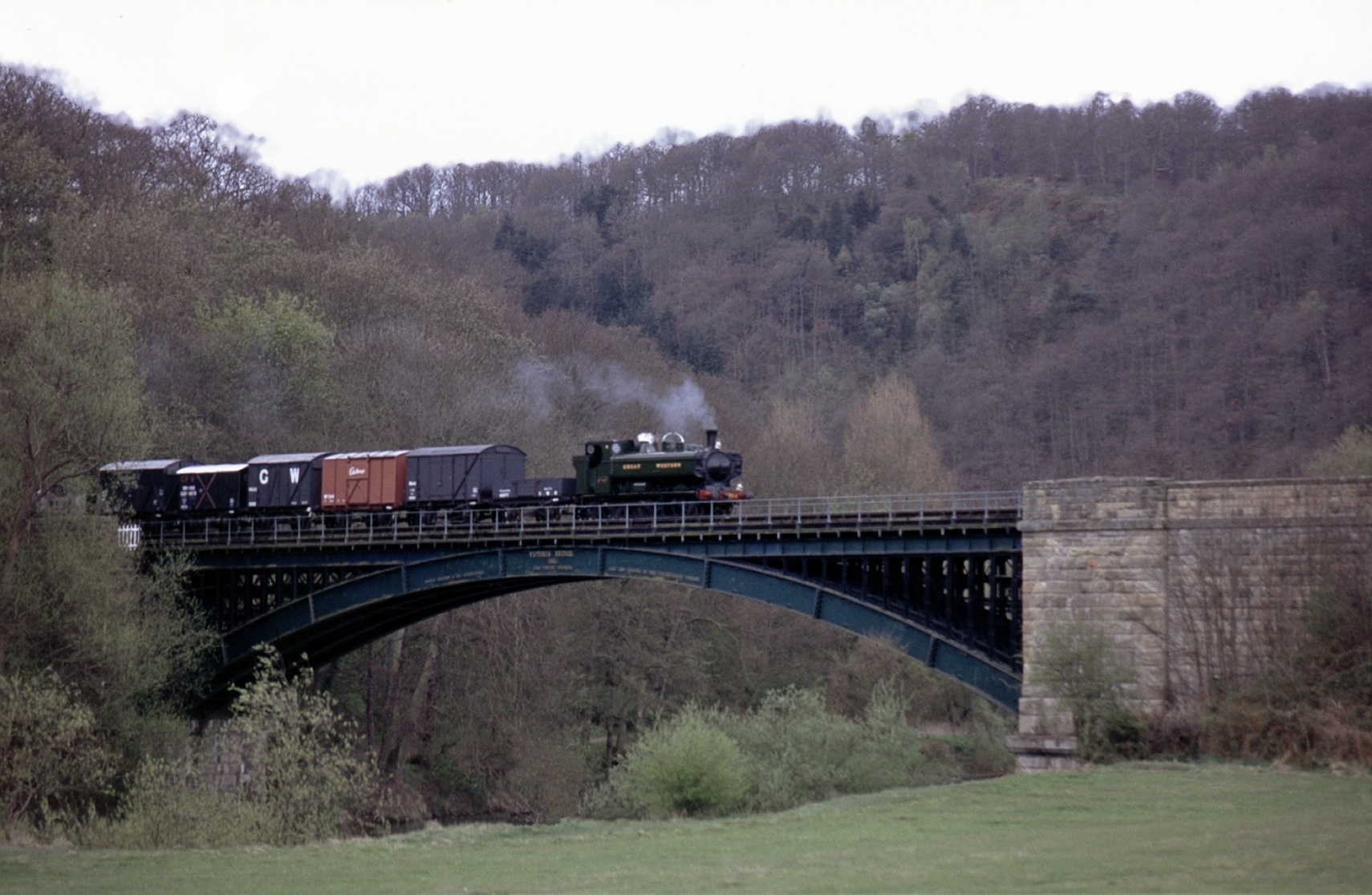
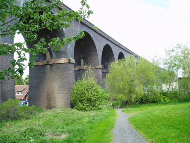
Severn Valley Railway
The Severn Valley Railway is a standard gauge heritage railway in Shropshire and Worcestershire, England, named after the company that originally built...
Nearby Amenities
Located within 500m of 52.368652,-2.230266Have you been to Spennells?
Leave your review of Spennells below (or comments, questions and feedback).