Cop Mere

Lake, Pool, Pond, Freshwater Marsh in Staffordshire Stafford

England

Cop Mere

Entering the small Hamlet of Sugnall The sign is showing the Sugnall walled kitchen garden to the left, which is part of the Sugnall Hall Estate.  see<span class="nowrap"><a title="http://www.sugnall.co.uk/history.html" rel="nofollow ugc noopener" href="http://www.sugnall.co.uk/history.html">Link</a><img style="margin-left:2px;" alt="External link" title="External link - shift click to open in new window" src="https://s1.geograph.org.uk/img/external.png" width="10" height="10"/></span>
Entering the small Hamlet of Sugnall Credit: Mick Malpass

Cop Mere is a picturesque freshwater lake located in the county of Staffordshire, England. It is situated in the village of Copmere End, near Eccleshall, and covers an area of approximately 2.5 hectares. The mere is surrounded by lush greenery and offers a tranquil escape for nature enthusiasts and visitors alike.

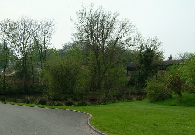
The lake itself is fed by natural springs, ensuring a constant supply of fresh water. The water is crystal clear and supports a diverse range of aquatic life, including various species of fish, amphibians, and invertebrates. The surrounding vegetation, consisting of reeds and water lilies, provides a suitable habitat for numerous bird species, making it a popular spot for birdwatchers.

Cop Mere is enclosed by a mix of woodland and grassland, adding to its natural beauty. The area is well-maintained, with pathways and seating areas allowing visitors to enjoy the scenery and observe the wildlife at their leisure. There is also a small car park nearby for convenient access.

The mere is a haven for outdoor activities, such as fishing and boating, with permits available for anglers. It also serves as a great location for picnics, walks, and photography. The peaceful ambiance and serene surroundings make Cop Mere an ideal destination for those seeking solace in nature.

Overall, Cop Mere in Staffordshire offers a peaceful and scenic environment, showcasing the diverse flora and fauna of the region. Its well-maintained facilities and accessibility make it a popular attraction for locals and tourists alike, providing a welcome escape from the hustle and bustle of everyday life.

If you have any feedback on the listing, please let us know in the comments section below.
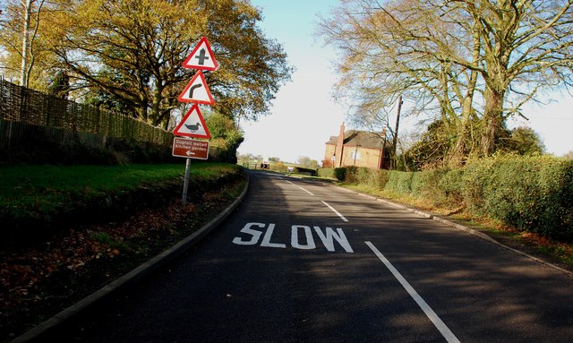
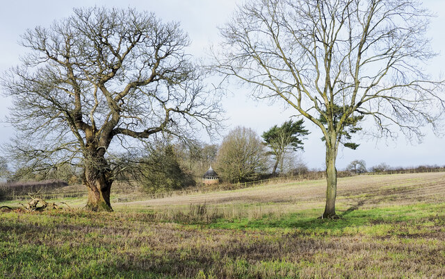
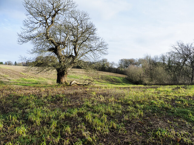
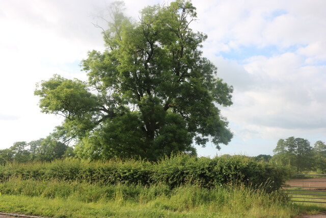
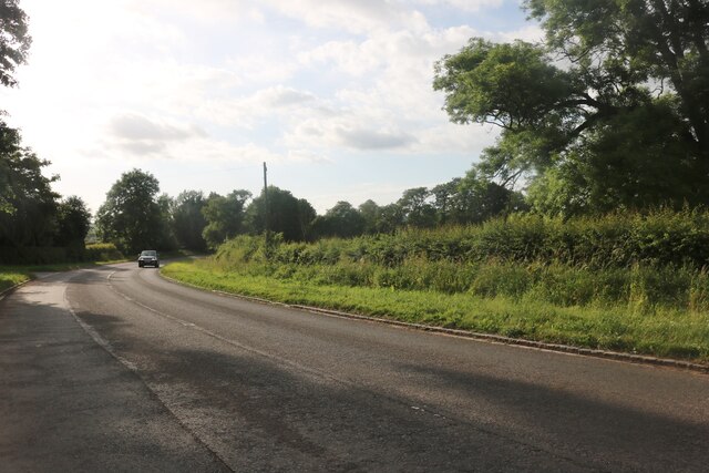
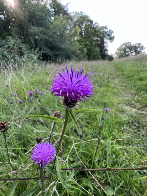
Cop Mere Images

Images are sourced within 2km of 52.864695/-2.2948696 or Grid Reference SJ8029. Thanks to Geograph Open Source API. All images are credited.

Entering the small Hamlet of Sugnall The sign is showing the Sugnall walled kitchen garden to the left, which is part of the Sugnall Hall Estate.  see<span class="nowrap"><a title="http://www.sugnall.co.uk/history.html" rel="nofollow ugc noopener" href="http://www.sugnall.co.uk/history.html">Link</a><img style="margin-left:2px;" alt="External link" title="External link - shift click to open in new window" src="https://s1.geograph.org.uk/img/external.png" width="10" height="10"/></span>
Entering the small Hamlet of Sugnall
The sign is showing the Sugnall walled kitchen garden to the left, which is part of the Sugnall Hall Estate. seeLinkExternal link
Derelict Red Brick Stables at Sugnall
Pasture to the left of Sugnall Hall The main Hall is on the opposite side of the B5026 to the Walled Garden.  see<span class="nowrap"><a title="http://www.sugnall.co.uk/history.html" rel="nofollow ugc noopener" href="http://www.sugnall.co.uk/history.html">Link</a><img style="margin-left:2px;" alt="External link" title="External link - shift click to open in new window" src="https://s1.geograph.org.uk/img/external.png" width="10" height="10"/></span>
Pasture to the left of Sugnall Hall
The main Hall is on the opposite side of the B5026 to the Walled Garden. seeLinkExternal link
Outbuildings for Sugnall Hall
Old house on the corner of Chester Road, Sugnall
Small building at Sugnall Park Sugnall Park is an area of land below the farm at Sugnall and north of the lake at Cop Mere. The building resembles a turret and is fenced around within an area of woodland.
Small building at Sugnall Park
Sugnall Park is an area of land below the farm at Sugnall and north of the lake at Cop Mere. The building resembles a turret and is fenced around within an area of woodland.
Land with lone tree in Sugnall Park Sugnall Park is an area of land below the farm at Sugnall and north of the lake at Cop Mere.
The land has held a crop recently, probably of maize.
Land with lone tree in Sugnall Park
Sugnall Park is an area of land below the farm at Sugnall and north of the lake at Cop Mere. The land has held a crop recently, probably of maize.
Tree by Chester Road, Pershall
Chester Road, Pershall
The Star Inn The Starr Inn is at Copmere End which is a location where five minor roads converge and is part of a complex of other minor roads with dispersed settlement near to Eccleshall.
The Star Inn
The Starr Inn is at Copmere End which is a location where five minor roads converge and is part of a complex of other minor roads with dispersed settlement near to Eccleshall.
Unofficial footpath off lane near Copmere
Eastern end of footpath round Copmere
Countryside near Copmere
Stile on footpath near Copmere
Knapweed by path near Copmere
Duck Pond A delightful area of Sugnall "des res" to the Ducks.
Duck Pond
A delightful area of Sugnall "des res" to the Ducks.
Sugnall Home Farm
Sugnall Home Farm
Sugnall Park Sugnall Park is the site of the annual Eccelshall Show as well as the Tern Valley Vintage Steam Fair which includes a ploughing display and competition.
Sugnall Park
Sugnall Park is the site of the annual Eccelshall Show as well as the Tern Valley Vintage Steam Fair which includes a ploughing display and competition.
Show me another place!

Cop Mere is located at Grid Ref: SJ8029 (Lat: 52.864695, Lng: -2.2948696)

Administrative County: Staffordshire

District: Stafford

Police Authority: Staffordshire

What 3 Words

///flicked.stop.eradicate. Near Eccleshall, Staffordshire

Related Wikis

Cop Mere

Cop Mere is one of the largest natural bodies of water in Staffordshire, England, covering 42 acres (17 ha). It has been designated a SSSI as an oligotrophic...

Offleyhay

Offleyhay is a village in Staffordshire, England. The population as taken at the 2011 census can be found under Eccleshall. == References ==

Eccleshall F.C.

Eccleshall Football Club is a football club based in Eccleshall, Staffordshire, England. They are currently members of the North West Counties League Division...

Jackson's Coppice and Marsh

Jackson's Coppice and Marsh is a nature reserve of the Staffordshire Wildlife Trust. It is along the River Sow, near the village of Bishop's Offley and...

Copmere End

Copmere End is a small settlement in Staffordshire, England. It is 2 kilometres (1 mi) west of Eccleshall where the population taken for the 2011 census...

Eccleshall Castle

Eccleshall Castle is located in Eccleshall, Staffordshire, England (grid reference SJ827295). It was originally built in the 13th century. It is a Scheduled...

Holy Trinity Church, Eccleshall

Holy Trinity Church in Eccleshall, Staffordshire, England, is a Grade I listed Anglican church. The building dates mostly from the 13th century, and there...

Croxton, Staffordshire

Croxton is a village on the B5026 between Eccleshall and Loggerheads. Population details for the 2011 census can be found under Eccleshall. It is notable...

Nearby Amenities

Located within 500m of 52.864695,-2.2948696
Bus Stop
The Star Inn PH
Bus: yes
Naptan AtcoCode: 3800C702100
Naptan Bearing: NE
Naptan CommonName: The Star Inn PH
Naptan Indicator: Adj
Naptan Landmark: The Star Inn PH
Naptan Street: Main Rd
Naptan Verified: no
Public Transport: platform
Source: naptan_import
Lat/Long: 52.8620935/-2.2943081
Barrier: kissing_gate
Lat/Long: 52.8615874/-2.2990786
Post Box
Post Box Type: wall
Ref: ST21 92
Royal Cypher: VR
Lat/Long: 52.8620969/-2.2938204
Defibrillator
Emergency: defibrillator
Lat/Long: 52.862191/-2.2942461
Barrier: stile
Lat/Long: 52.8630704/-2.2907854
Access: permissive
Barrier: stile
Bicycle: no
Foot: yes
Horse: no
Motor Vehicle: no
Wheelchair: no
Lat/Long: 52.866201/-2.2935233
Barrier: stile
Lat/Long: 52.8676575/-2.2965877
Barrier: stile
Lat/Long: 52.8678433/-2.2969731
Power: pole
Lat/Long: 52.8607265/-2.2973432
Power: pole
Lat/Long: 52.8609498/-2.2967681
The data included in this document is from www.openstreetmap.org. The data is made available under ODbL.

Have you been to Cop Mere?

Leave your review of Cop Mere below (or comments, questions and feedback).