Copmere End

Settlement in Staffordshire Stafford

England

Copmere End

Entering the small Hamlet of Sugnall The sign is showing the Sugnall walled kitchen garden to the left, which is part of the Sugnall Hall Estate.  see<span class="nowrap"><a title="http://www.sugnall.co.uk/history.html" rel="nofollow ugc noopener" href="http://www.sugnall.co.uk/history.html">Link</a><img style="margin-left:2px;" alt="External link" title="External link - shift click to open in new window" src="https://s1.geograph.org.uk/img/external.png" width="10" height="10"/></span>
Entering the small Hamlet of Sugnall Credit: Mick Malpass

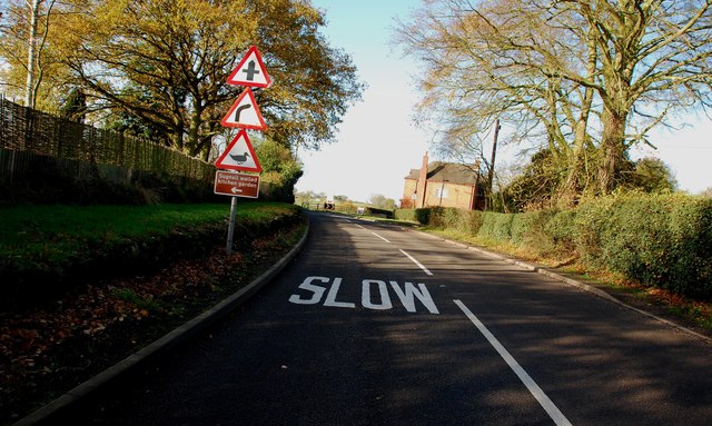
Copmere End is a small rural village located in the county of Staffordshire, in the West Midlands region of England. Situated approximately 5 miles northeast of the town of Eccleshall, it is nestled within the picturesque countryside of the Staffordshire Moorlands.

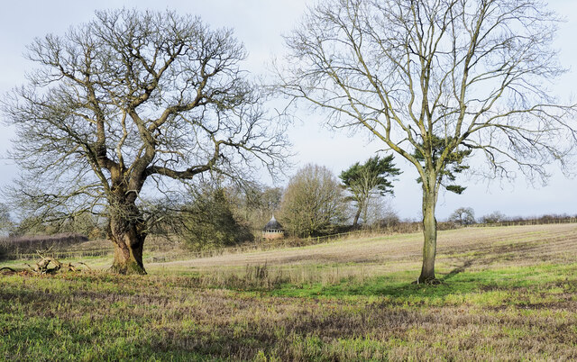
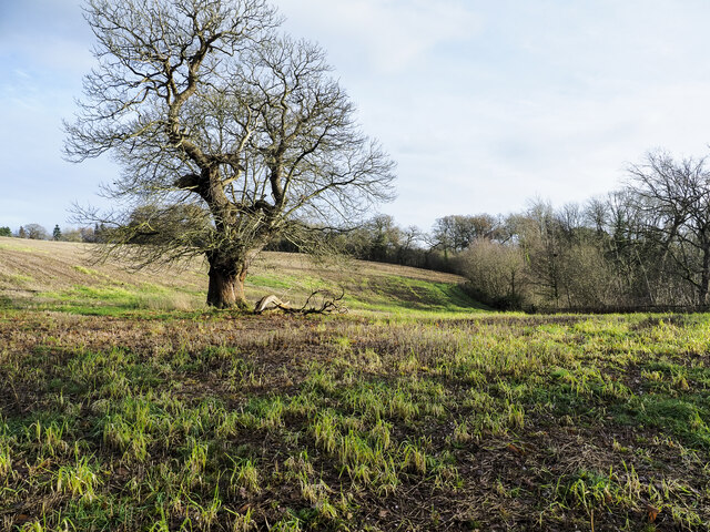
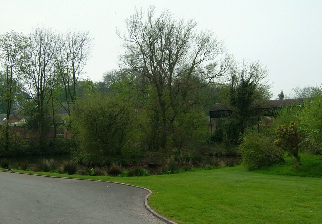
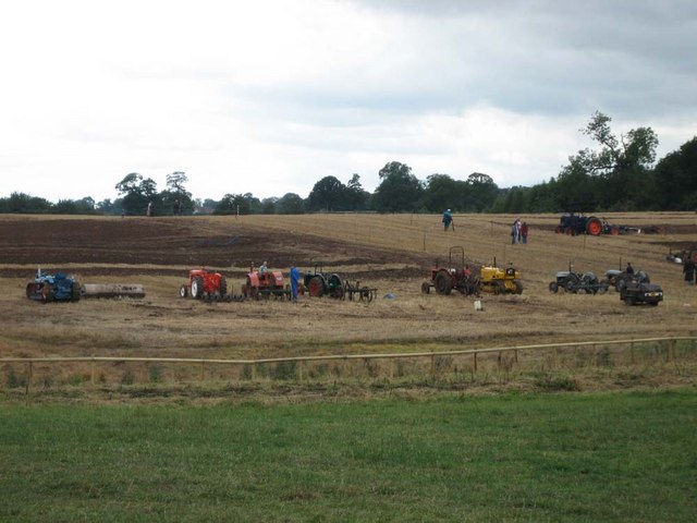
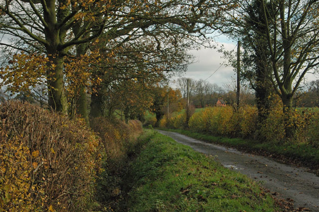
The village is characterized by its charming and peaceful atmosphere, with beautiful landscapes and rolling hills surrounding it. Copmere End is predominantly an agricultural community, with much of the land in the area used for farming and grazing. The fields are often dotted with grazing sheep and cattle, adding to the rural ambiance of the village.

The architecture of Copmere End reflects its historical roots, with many traditional stone cottages and farmhouses still standing. These buildings have been well-preserved and contribute to the village's quaint and timeless charm.

Despite its small size, Copmere End boasts a strong sense of community. The village is home to a close-knit group of residents who actively participate in local events and activities. The village hall serves as a hub for social gatherings and community meetings, fostering a sense of camaraderie among the villagers.

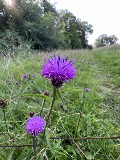
The surrounding natural beauty offers numerous opportunities for outdoor activities such as walking, hiking, and cycling. The nearby Copmere Lake and the Trent and Mersey Canal are popular spots for fishing and boating enthusiasts.

Overall, Copmere End offers a peaceful retreat from the hustle and bustle of urban life, with its idyllic countryside setting and strong community spirit.

If you have any feedback on the listing, please let us know in the comments section below.

Copmere End Images

Images are sourced within 2km of 52.858114/-2.2984785 or Grid Reference SJ8029. Thanks to Geograph Open Source API. All images are credited.

Entering the small Hamlet of Sugnall The sign is showing the Sugnall walled kitchen garden to the left, which is part of the Sugnall Hall Estate.  see<span class="nowrap"><a title="http://www.sugnall.co.uk/history.html" rel="nofollow ugc noopener" href="http://www.sugnall.co.uk/history.html">Link</a><img style="margin-left:2px;" alt="External link" title="External link - shift click to open in new window" src="https://s1.geograph.org.uk/img/external.png" width="10" height="10"/></span>
Entering the small Hamlet of Sugnall
The sign is showing the Sugnall walled kitchen garden to the left, which is part of the Sugnall Hall Estate. seeLinkExternal link
Derelict Red Brick Stables at Sugnall
Old house on the corner of Chester Road, Sugnall
Small building at Sugnall Park Sugnall Park is an area of land below the farm at Sugnall and north of the lake at Cop Mere. The building resembles a turret and is fenced around within an area of woodland.
Small building at Sugnall Park
Sugnall Park is an area of land below the farm at Sugnall and north of the lake at Cop Mere. The building resembles a turret and is fenced around within an area of woodland.
Land with lone tree in Sugnall Park Sugnall Park is an area of land below the farm at Sugnall and north of the lake at Cop Mere.
The land has held a crop recently, probably of maize.
Land with lone tree in Sugnall Park
Sugnall Park is an area of land below the farm at Sugnall and north of the lake at Cop Mere. The land has held a crop recently, probably of maize.
The Star Inn The Starr Inn is at Copmere End which is a location where five minor roads converge and is part of a complex of other minor roads with dispersed settlement near to Eccleshall.
The Star Inn
The Starr Inn is at Copmere End which is a location where five minor roads converge and is part of a complex of other minor roads with dispersed settlement near to Eccleshall.
Unofficial footpath off lane near Copmere
Eastern end of footpath round Copmere
Countryside near Copmere
Stile on footpath near Copmere
Knapweed by path near Copmere
Duck Pond A delightful area of Sugnall "des res" to the Ducks.
Duck Pond
A delightful area of Sugnall "des res" to the Ducks.
Sugnall Home Farm
Sugnall Home Farm
Sugnall Park Sugnall Park is the site of the annual Eccelshall Show as well as the Tern Valley Vintage Steam Fair which includes a ploughing display and competition.
Sugnall Park
Sugnall Park is the site of the annual Eccelshall Show as well as the Tern Valley Vintage Steam Fair which includes a ploughing display and competition.
Walk Mill Pool and House
Walk Mill now Derelict This was a cloth mill, which got its name from people treading or walking on the material. The Mill was badly damaged by a storm in January 1976, and now it looks as if it is going to be restored.
Walk Mill now Derelict
This was a cloth mill, which got its name from people treading or walking on the material. The Mill was badly damaged by a storm in January 1976, and now it looks as if it is going to be restored.
Offley Hay House, Walk Mill
Leafy lane
Leafy lane
Show me another place!

Copmere End is located at Grid Ref: SJ8029 (Lat: 52.858114, Lng: -2.2984785)

Administrative County: Staffordshire

District: Stafford

Police Authority: Staffordshire

What 3 Words

///hobbies.hides.wires. Near Eccleshall, Staffordshire

Related Wikis

Offleyhay

Offleyhay is a village in Staffordshire, England. The population as taken at the 2011 census can be found under Eccleshall. == References ==

Cop Mere

Cop Mere is one of the largest natural bodies of water in Staffordshire, England, covering 42 acres (17 ha). It has been designated a SSSI as an oligotrophic...

Copmere End

Copmere End is a small settlement in Staffordshire, England. It is 2 kilometres (1 mi) west of Eccleshall where the population taken for the 2011 census...

Jackson's Coppice and Marsh

Jackson's Coppice and Marsh is a nature reserve of the Staffordshire Wildlife Trust. It is along the River Sow, near the village of Bishop's Offley and...

Nearby Amenities

Located within 500m of 52.858114,-2.2984785
Barrier: kissing_gate
Lat/Long: 52.8615874/-2.2990786
Barrier: stile
Lat/Long: 52.8579453/-2.297549
Barrier: stile
Lat/Long: 52.8561333/-2.2952757
Barrier: stile
Lat/Long: 52.8570758/-2.295919
Barrier: stile
Lat/Long: 52.859438/-2.298685
Power: pole
Lat/Long: 52.8611887/-2.3021803
Line Management: branch
Power: pole
Lat/Long: 52.8608308/-2.3006943
Power: pole
Lat/Long: 52.8604843/-2.299262
Power: pole
Lat/Long: 52.8602689/-2.2983688
Power: pole
Lat/Long: 52.8600179/-2.2974086
Power: pole
Lat/Long: 52.8597685/-2.2963116
Power: pole
Lat/Long: 52.8594819/-2.2950965
Power: pole
Lat/Long: 52.8590397/-2.29316
Power: pole
Lat/Long: 52.8589717/-2.2918993
Power: pole
Lat/Long: 52.8600887/-2.3046039
Power: pole
Lat/Long: 52.8602585/-2.3039474
Power: pole
Lat/Long: 52.8595406/-2.3040553
Power: pole
Lat/Long: 52.8595566/-2.3035828
Power: pole
Lat/Long: 52.8596196/-2.3020132
Power: pole
Lat/Long: 52.8596933/-2.3006418
Power: pole
Lat/Long: 52.8599466/-2.2996331
Power: pole
Lat/Long: 52.8601442/-2.298858
Power: pole
Lat/Long: 52.8604957/-2.2979113
Power: pole
Lat/Long: 52.8607265/-2.2973432
Power: pole
Lat/Long: 52.8609498/-2.2967681
Power: pole
Lat/Long: 52.8597497/-2.3019254
Power: pole
Lat/Long: 52.858152/-2.3055925
Power: pole
Lat/Long: 52.8581817/-2.3044671
Power: pole
Lat/Long: 52.8573357/-2.3047613
Power: pole
Lat/Long: 52.8565363/-2.3049667
Power: pole
Lat/Long: 52.85884/-2.3042756
Power: pole
Lat/Long: 52.8604859/-2.3010776
The data included in this document is from www.openstreetmap.org. The data is made available under ODbL.

Have you been to Copmere End?

Leave your review of Copmere End below (or comments, questions and feedback).