Black Pool

Lake, Pool, Pond, Freshwater Marsh in Northumberland

England

Black Pool

Bridge on road near Blackaburn
Bridge on road near Blackaburn Credit: Steven Brown

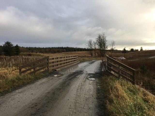
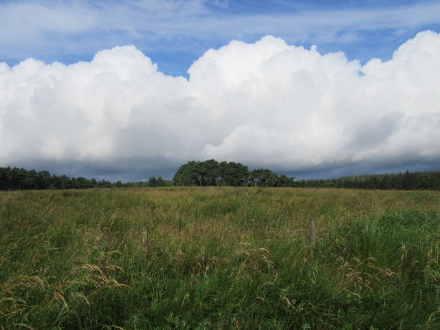
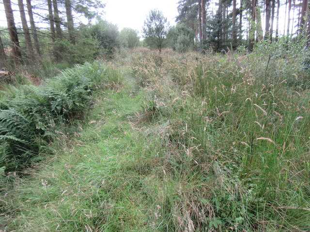
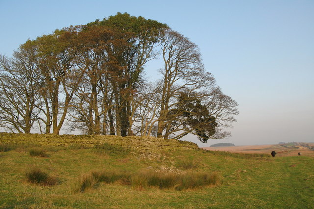
Black Pool is a picturesque freshwater lake located in Northumberland, England. It is nestled within the beautiful Kielder Forest, making it a popular destination for nature lovers and outdoor enthusiasts. The pool stretches over an area of approximately 2 hectares and is surrounded by lush greenery and dense woodland.

The name "Black Pool" derives from the dark hue of its waters, which is a result of the tannins released by the surrounding vegetation. Despite its name, the water is actually crystal clear and supports a diverse ecosystem. The lake is fed by natural springs and rainwater runoff, ensuring a constant flow of fresh water.

The surrounding area of Black Pool is home to an abundance of wildlife. Visitors may catch glimpses of various bird species, such as herons, ducks, and geese, as they make their way across the water or nest in the surrounding trees. The lake also provides a habitat for a variety of fish species, including perch and pike, making it a popular spot for anglers.

Aside from its natural beauty, Black Pool offers a tranquil setting for recreational activities such as boating and fishing. The calm waters make it an ideal spot for kayaking and canoeing, allowing visitors to explore the lake at their own pace. Additionally, there are several walking trails that meander through the surrounding forest, offering breathtaking views of the lake and its surroundings.

Overall, Black Pool is a hidden gem in Northumberland, offering a serene and idyllic escape for those seeking solace in nature.

If you have any feedback on the listing, please let us know in the comments section below.

Black Pool Images

Images are sourced within 2km of 55.087032/-2.3109908 or Grid Reference NY8076. Thanks to Geograph Open Source API. All images are credited.

Bridge on road near Blackaburn
Trig point of Birk Hill The trig point of Birk Hill stands beside a dry stone wall amidst rushes at the heart of Wark Forest. Stonehaugh is a nearby village.
Trig point of Birk Hill
The trig point of Birk Hill stands beside a dry stone wall amidst rushes at the heart of Wark Forest. Stonehaugh is a nearby village.
Brown Rigg Looking west from the road.
Brown Rigg
Looking west from the road.
Sandy Sike Open area of the forest.
Sandy Sike
Open area of the forest.
Bridleway near Stonehaugh This bridleway is overgrown by long grass and bracken, but luckily, not by trees.
Bridleway near Stonehaugh
This bridleway is overgrown by long grass and bracken, but luckily, not by trees.
Near Stonehaugh Looking NE from the bridleway.
Near Stonehaugh
Looking NE from the bridleway.
The Warks Burn Seen from the bridge below Stonehaugh.
The Warks Burn
Seen from the bridge below Stonehaugh.
Confluence of the Middle Burn with the Warks Burn The Middle Burn flows in to the Warks Burn from the left.
Confluence of the Middle Burn with the Warks Burn
The Middle Burn flows in to the Warks Burn from the left.
Forest depot, Stonehaugh
Willowbog Backed by trees in Wark Forest. See also <a href="https://www.geograph.org.uk/photo/3283514">NY7975 : Willowbog Farm</a>.
Willowbog
Backed by trees in Wark Forest. See also NY7975 : Willowbog Farm.
Footbridge over the Middle Burn Immediately above the confluence with the Warks Burn. On the far side are the three tree trunks being prepared as replacement totem poles to be erected on the site.
Footbridge over the Middle Burn
Immediately above the confluence with the Warks Burn. On the far side are the three tree trunks being prepared as replacement totem poles to be erected on the site.
New totem poles in preparation The celebrated totem poles of Stonehaugh were first fashioned by forestry workers in 1971 at a time when chainsaws were a novelty. After the base of the poles rotted, they were replaced in 1982 and again in 1992.  In 2018, the  poles were taken down for a third time; after removing the rotten parts, the truncated totem poles have been re-erected behind the village hall.

Meanwhile work is under way to prepare a fourth set of poles. Forestry England have donated three 80ft larch tree trunks. Responsibility for the three new designs has been undertaken separately by Eggers, the timber board manufacturers in Hexham, by the Forestry England in discussion with Wark First School, and by the National Park. Northumbria Water have supplied sections of water main pipe to protect against base rot.

It had been hoped to complete the reinstallation in 2019 in time to celebrate the centenary of the foundation of the Forestry Commission, but this now looks somewhat unlikely.
New totem poles in preparation
The celebrated totem poles of Stonehaugh were first fashioned by forestry workers in 1971 at a time when chainsaws were a novelty. After the base of the poles rotted, they were replaced in 1982 and again in 1992. In 2018, the poles were taken down for a third time; after removing the rotten parts, the truncated totem poles have been re-erected behind the village hall. Meanwhile work is under way to prepare a fourth set of poles. Forestry England have donated three 80ft larch tree trunks. Responsibility for the three new designs has been undertaken separately by Eggers, the timber board manufacturers in Hexham, by the Forestry England in discussion with Wark First School, and by the National Park. Northumbria Water have supplied sections of water main pipe to protect against base rot. It had been hoped to complete the reinstallation in 2019 in time to celebrate the centenary of the foundation of the Forestry Commission, but this now looks somewhat unlikely.
New totem poles in preparation For details see <a href="https://www.geograph.org.uk/photo/6287410">NY7976 : New totem poles in preparation</a>. Footbridge over the Middle Burn beyond.
New totem poles in preparation
For details see NY7976 : New totem poles in preparation. Footbridge over the Middle Burn beyond.
Warks Burn Below Stonehaugh.
Warks Burn
Below Stonehaugh.
New totem poles in preparation For details, see <a href="https://www.geograph.org.uk/photo/6287410">NY7976 : New totem poles in preparation</a>. Stonehaugh picnic site on the far side of the Warks Burn.
New totem poles in preparation
For details, see NY7976 : New totem poles in preparation. Stonehaugh picnic site on the far side of the Warks Burn.
Stonehaugh Stargazing Pavilion Opened in 2014, the Stargazing Pavilion provides a good spot from which to enjoy the landscape and the local wildlife. By night, the central room is an excellent place from which to observe the night sky, being sited within the Northumberland International Dark Sky Park.
Stonehaugh Stargazing Pavilion
Opened in 2014, the Stargazing Pavilion provides a good spot from which to enjoy the landscape and the local wildlife. By night, the central room is an excellent place from which to observe the night sky, being sited within the Northumberland International Dark Sky Park.
Stonehaugh Stargazing Pavilion (interior) An excellent place from which to observe the night sky, being sited within the Northumberland International Dark Sky Park.
Stonehaugh Stargazing Pavilion (interior)
An excellent place from which to observe the night sky, being sited within the Northumberland International Dark Sky Park.
Willowbog Farm Remote farmhouse on the edge of Wark Forest. Formerly the family home of Kathryn Tickell, the celebrated player of the Northumbrian pipes and folk singer. Many of her songs, and tales recited by her father, derive from memories of this area. Willowbog is now a centre for the cultivation of Bonsai trees. See also <a href="https://www.geograph.org.uk/photo/3283514">NY7975 : Willowbog Farm</a>.
Willowbog Farm
Remote farmhouse on the edge of Wark Forest. Formerly the family home of Kathryn Tickell, the celebrated player of the Northumbrian pipes and folk singer. Many of her songs, and tales recited by her father, derive from memories of this area. Willowbog is now a centre for the cultivation of Bonsai trees. See also NY7975 : Willowbog Farm.
Show me another place!

Black Pool is located at Grid Ref: NY8076 (Lat: 55.087032, Lng: -2.3109908)

Unitary Authority: Northumberland

Police Authority: Northumbria

What 3 Words

///emblem.wealth.grit. Near Bellingham, Northumberland

Nearby Locations

Black Pool Roaring Hole

Related Wikis

Stonehaugh

Stonehaugh is a small settlement in Northumberland about 5 miles (8 km) west of Wark on Tyne and 4 Roman miles (6 km) north of Hadrian's Wall. It was purpose...

The Goatstones

The Goatstones is a Bronze-Age four-poster stone circle located near Ravensheugh Crags in Northumberland, England. It is 2.5 miles (4.0 km) to the north...

Halleypike Lough

Halleypike Lough is an inland lake on Haughton Common at the southern edge of Northumberland National Park, northeast of Bardon Mill, and 1 mile (1.6 km...

Wark in Tyndale Castle

Wark in Tyndale Castle was a medieval building in the English county of Northumberland (grid reference NY861768). It was first mentioned in 1399–1400,...

Wark Town Hall

Wark Town Hall is a municipal building on The Green in Wark on Tyne, Northumberland, England. The building, which is used as a community events venue,...

Wark on Tyne

Wark on Tyne is a small village and civil parish in Northumberland, England, 12 miles (19 km) north of Hexham. == History == The name is derived from the...

Milecastle 34

Milecastle 34 (Grindon) was a milecastle of the Roman Hadrian's Wall. There are no visible remains, but the site is within a small, tree-filled, walled...

Wark Forest

Wark Forest is the southern part of Kielder Forest in Northumberland, England. Wark Forest is found within the south-west tip of Northumberland National...

Nearby Amenities

Located within 500m of 55.087032,-2.3109908
Roaring Hole
Place: locality
Lat/Long: 55.0850823/-2.3138625
Windy Edge
Place: locality
Lat/Long: 55.0851003/-2.3098602
Power: pole
Lat/Long: 55.083894/-2.3138561
Power: pole
Lat/Long: 55.0881341/-2.3035645
Power: pole
Lat/Long: 55.087649/-2.3048386
Power: pole
Lat/Long: 55.0871071/-2.3062387
Power: pole
Lat/Long: 55.086728/-2.3072284
Power: pole
Lat/Long: 55.0845826/-2.3125017
Power: pole
Lat/Long: 55.0851352/-2.3113993
Power: pole
Lat/Long: 55.0861623/-2.308709
Power: pole
Lat/Long: 55.0856833/-2.3099884
Generator Method: wind_turbine
Generator Source: wind
Power: generator
Lat/Long: 55.0843963/-2.3169358
Generator Method: wind_turbine
Generator Source: wind
Power: generator
Lat/Long: 55.0847148/-2.3173955
The data included in this document is from www.openstreetmap.org. The data is made available under ODbL.

Have you been to Black Pool?

Leave your review of Black Pool below (or comments, questions and feedback).