Audley Reservoir

Lake, Pool, Pond, Freshwater Marsh in Lancashire Ribble Valley

England

Audley Reservoir

View over Pendleton Moor Looking north along the Clitheroe Road. A public right of way starts at this point and heads north west to Pendleton. Pendle Hill is away to the east, just out of shot.
View over Pendleton Moor Credit: Marika Reinholds

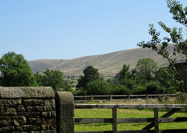
Audley Reservoir, located in Lancashire, England, is a picturesque freshwater lake nestled amidst the stunning countryside. Spanning an area of approximately 20 hectares, it is a popular recreational spot for both locals and tourists alike.

The reservoir, also known as Audley End Pool, was originally created in the late 18th century as part of a complex water management system. It was designed to supply water to nearby industries, including textile mills and local canals. Over the years, the reservoir has transformed into a serene and natural habitat, attracting a diverse range of flora and fauna.

Surrounded by lush greenery and rolling hills, Audley Reservoir offers a peaceful escape from the hustle and bustle of daily life. The tranquil waters are perfect for various water activities such as fishing and boating. It is home to a variety of fish species, including perch, roach, and pike, making it a popular spot for anglers.

The reservoir also serves as a haven for numerous bird species, making it a favorite spot for birdwatchers. Visitors can spot majestic herons, graceful swans, and a variety of ducks and geese gliding across the calm waters. The surrounding marshland provides a habitat for various wetland plants and attracts a wide range of insects and amphibians.

Access to Audley Reservoir is convenient, with designated parking areas and well-maintained footpaths. The site also offers picnic areas and benches, allowing visitors to relax and enjoy the scenic beauty of the reservoir. Whether it is for a peaceful stroll, a day of fishing, or birdwatching, Audley Reservoir offers a delightful experience for nature enthusiasts of all ages.

If you have any feedback on the listing, please let us know in the comments section below.

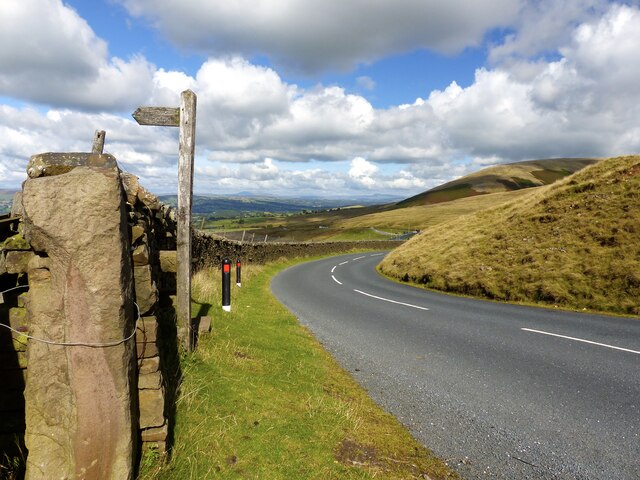
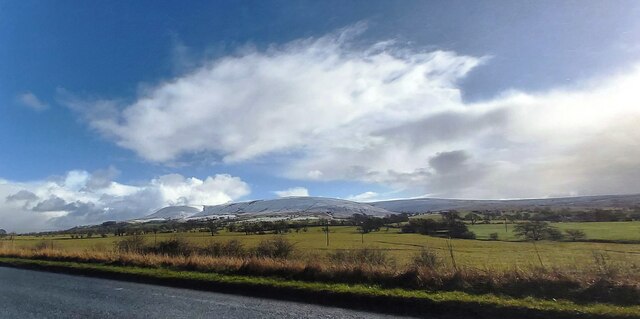
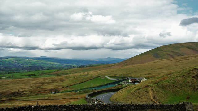
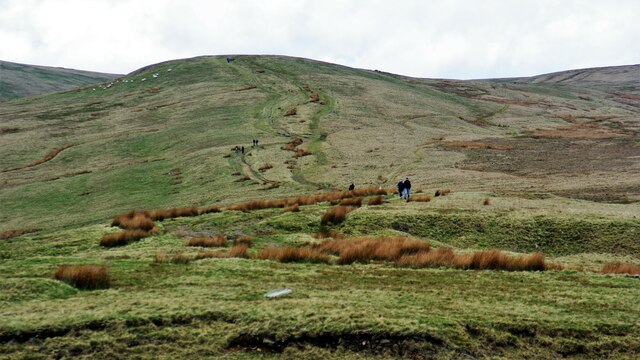
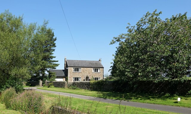
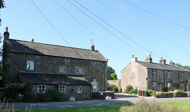
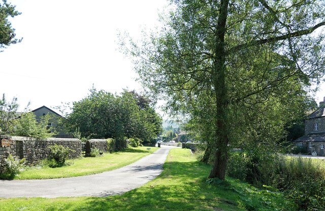
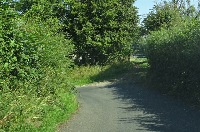
Audley Reservoir Images

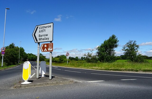
Images are sourced within 2km of 53.845029/-2.3712401 or Grid Reference SD7538. Thanks to Geograph Open Source API. All images are credited.

View over Pendleton Moor Looking north along the Clitheroe Road. A public right of way starts at this point and heads north west to Pendleton. Pendle Hill is away to the east, just out of shot.
View over Pendleton Moor
Looking north along the Clitheroe Road. A public right of way starts at this point and heads north west to Pendleton. Pendle Hill is away to the east, just out of shot.
Fields near the A59
Fields near the A59
McDonald's on the Ribble Valley Enterprise Park near Clitheroe
Nick o' Pendle Dry Ski Slope View from the hill top car park
Nick o' Pendle Dry Ski Slope
View from the hill top car park
Path to Pendleton Moor Summit Start of the path from Nick of Pendle car parks on the flanks of Pendle Hill
Path to Pendleton Moor Summit
Start of the path from Nick of Pendle car parks on the flanks of Pendle Hill
Road Junction The junction of A59 and A671.
Road Junction
The junction of A59 and A671.
Whalley Road Two miles to Clitheroe.
Whalley Road
Two miles to Clitheroe.
The Swan With Two Necks A pub in Pendleton.
The Swan With Two Necks
A pub in Pendleton.
Overgrown watercourse Pendleton Brook runs through the village. At present the watercourse is much overgrown with weeds and grasses.
Overgrown watercourse
Pendleton Brook runs through the village. At present the watercourse is much overgrown with weeds and grasses.
Bracken Dene A house in Pendleton.
Bracken Dene
A house in Pendleton.
Bulcocks farmhouse A grade II listed building in Pendleton. A datestone suggests that it was built in  1693.
Bulcocks farmhouse
A grade II listed building in Pendleton. A datestone suggests that it was built in 1693.
Pendleton village The village was mentioned in the Domesday (Doomsday) Book with the name Peniltune.
Pendleton village
The village was mentioned in the Domesday (Doomsday) Book with the name Peniltune.
Outside Pendleton Pendleton Road veers sharply to the left on the approach to the village.
Outside Pendleton
Pendleton Road veers sharply to the left on the approach to the village.
Looking towards Pendle Hill From Pendleton village.
Looking towards Pendle Hill
From Pendleton village.
The airmen's memorial at Nick of Pendle The memorial is to Australian and American aircrew whose planes crashed in the area in World War II. It does not mark the exact site of either incident, but is conveniently located close to a public road. <a href="https://www.geograph.org.uk/photo/4470275">SD7738 : Memorial at Nick of Pendle</a> gives the full text.
The airmen's memorial at Nick of Pendle
The memorial is to Australian and American aircrew whose planes crashed in the area in World War II. It does not mark the exact site of either incident, but is conveniently located close to a public road. SD7738 : Memorial at Nick of Pendle gives the full text.
Car park at Nick of Pendle An old quarry offers limited parking at the summit of the road from Padiham to Clitheroe (295 metres).
Car park at Nick of Pendle
An old quarry offers limited parking at the summit of the road from Padiham to Clitheroe (295 metres).
Quarry at Nick of Pendle An old stone quarry, one of several around the summit of the road from Padiham to Clitheroe. The borough boundary is immediately to the right of the quarry - Ribble Valley this side, Pendle District beyond.
Quarry at Nick of Pendle
An old stone quarry, one of several around the summit of the road from Padiham to Clitheroe. The borough boundary is immediately to the right of the quarry - Ribble Valley this side, Pendle District beyond.
Gate and stile at Nick of Pendle The path beyond the stile leads down to Pendleton village. On the stone gatepost is a benchmark, shown on the 1912 map as 974.5 feet.
Gate and stile at Nick of Pendle
The path beyond the stile leads down to Pendleton village. On the stone gatepost is a benchmark, shown on the 1912 map as 974.5 feet.
Show me another place!

Audley Reservoir is located at Grid Ref: SD7538 (Lat: 53.845029, Lng: -2.3712401)

Administrative County: Lancashire

District: Ribble Valley

Police Authority: Lancashire

What 3 Words

///socialite.rocky.caskets. Near Sabden, Lancashire

Related Wikis

Pendleton, Lancashire

Pendleton is a small village and civil parish in Ribble Valley, within the county of Lancashire, England. It is close to the towns of Whalley and Clitheroe...

Wiswell

Wiswell is a small village and civil parish in the Ribble Valley, Lancashire, England, close to Whalley and Clitheroe at the foot of Wiswell Moor. At the...

Barrow, Lancashire

Barrow is a village and civil parish in the Ribble Valley district in Lancashire, England, situated between Whalley and Clitheroe and bypassed by the A59...

Mearley

Mearley is a civil parish in Lancashire, England. The parish is north-west of Pendle Hill, east of Clitheroe, and is in the Ribble Valley district. It...

Nearby Amenities

Located within 500m of 53.845029,-2.3712401
Cold Coats
Place: locality
Source: OsOpenDataStreetView
Lat/Long: 53.8414818/-2.3725426
Ford: yes
Lat/Long: 53.8428147/-2.3652673
Ford: yes
Lat/Long: 53.8428086/-2.365383
Ford: yes
Lat/Long: 53.8420238/-2.3721358
The data included in this document is from www.openstreetmap.org. The data is made available under ODbL.

Have you been to Audley Reservoir?

Leave your review of Audley Reservoir below (or comments, questions and feedback).