Marrot Pot
Lake, Pool, Pond, Freshwater Marsh in Aberdeenshire
Scotland
Marrot Pot

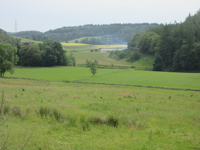
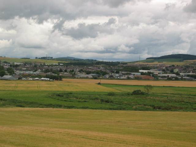
Marrot Pot is a picturesque freshwater marsh located in Aberdeenshire, Scotland. With its tranquil surroundings and stunning natural beauty, it is a popular destination for nature enthusiasts and photographers alike.
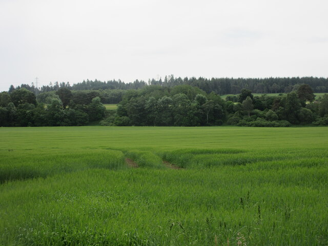
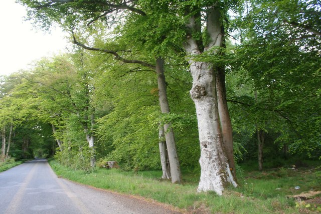
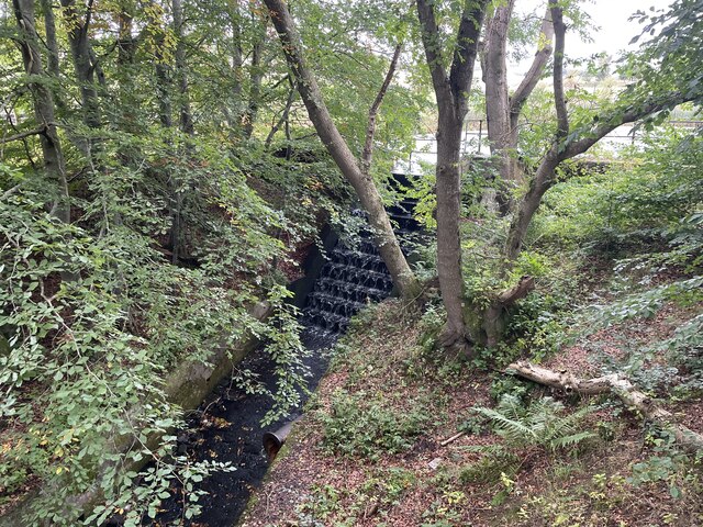
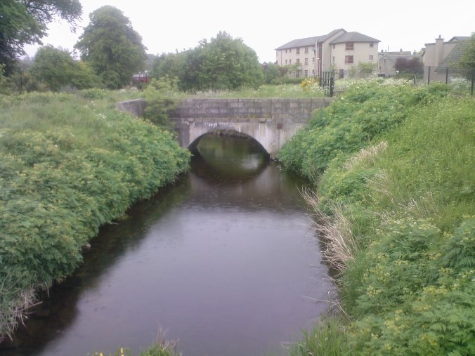
The pot is nestled amidst rolling hills and lush greenery, creating a serene and peaceful atmosphere. It is primarily fed by the Marrot Burn, a small stream that meanders through the surrounding countryside. The water in the pot is crystal clear and teeming with a diverse array of aquatic plants and wildlife.
The pot itself is relatively small, with a surface area of approximately 1 hectare. It is characterized by its shallow depth and abundant vegetation, including lilies and reeds, which provide important habitats for various species of birds, insects, and amphibians. The marshy edges of the pot are particularly rich in plant life, with vibrant rushes and sedges creating a vibrant and varied ecosystem.
The pot is also home to a variety of bird species, making it a popular spot for birdwatching. Visitors may spot waterfowl such as mallards, teal, and swans, as well as wading birds like herons and snipes. In addition to the avian inhabitants, the pot also supports a healthy population of fish, including trout and perch.
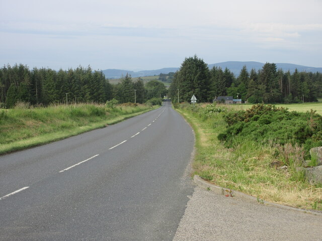
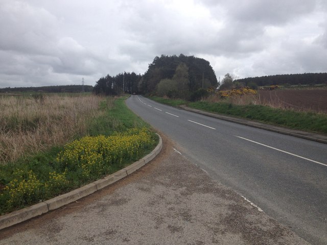
Marrot Pot is easily accessible, with a walking trail that winds its way around the water's edge, allowing visitors to fully appreciate the natural beauty of the area. Whether it's observing the diverse wildlife, capturing breathtaking photographs, or simply enjoying the tranquility of the surroundings, Marrot Pot offers a unique and immersive experience for nature lovers.
If you have any feedback on the listing, please let us know in the comments section below.
Marrot Pot Images
Images are sourced within 2km of 57.271257/-2.4048469 or Grid Reference NJ7520. Thanks to Geograph Open Source API. All images are credited.


Marrot Pot is located at Grid Ref: NJ7520 (Lat: 57.271257, Lng: -2.4048469)
Unitary Authority: Aberdeenshire
Police Authority: North East
What 3 Words
///albatross.cookie.cherubs. Near Inverurie, Aberdeenshire
Nearby Locations
Related Wikis

Inverurie Hospital
Inverurie Hospital is a small hospital in Inverurie, Aberdeenshire, Scotland. It is managed by NHS Grampian. == History == The hospital has its origins...

Inverurie
Inverurie (Scottish Gaelic: Inbhir Uraidh or Inbhir Uaraidh, 'mouth of the River Ury') is a town in Aberdeenshire, Scotland at the confluence of the rivers...
Battle of Inverurie (1745)
The Battle of Inverurie was fought on 23 December 1745 at Inverurie, Aberdeenshire, Scotland, during the Jacobite rising of 1745. == Background == After...
Aberdeenshire Canal
The Aberdeenshire Canal was a waterway in Aberdeenshire, Scotland, designed by John Rennie, which ran from the port of Aberdeen to Port Elphinstone, Inverurie...

Garioch
Garioch (Scots: The Geerie, GEER-ee, Scottish Gaelic: Gairbheach) is one of six committee areas in Aberdeenshire, Scotland. It has a population of 46...
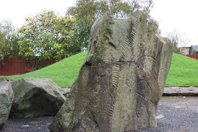
Broomend of Crichie stone
The Broomend of Crichie Stone is a class I Pictish stone that stands within a henge at Broomend of Crichie, Port Elphinstone, Inverurie, Aberdeenshire...
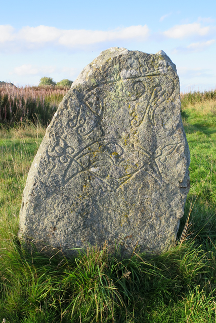
Brandsbutt Stone
The Brandsbutt Stone is a class I Pictish symbol stone in Inverurie, Aberdeenshire, Scotland. == Description == A large block of whinstone, 1.07 metres...
Inverurie Town Hall
Inverurie Town Hall is a municipal building in the Market Place in Inverurie, Scotland. The structure, which served as the meeting place of Inverurie Burgh...
Related Videos

Travelling Aberdeenshire by bus | 7-day itinerary | Scotland VLOG
Get my ebook about "How to travel Aberdeenshire by bus" here: ...

ABERDEEN Mount Bennachie and Mither Tap - Hiking SCOTLAND
In this video you can see our trip to Aberdeen Scotland. Scotland hiking trip Mount Bennachie and Mither Tap. Exploring ...

Inverurie Scotland Walking Tour 4K 60fps, Jan 2023
Inverurie Scotland Walking Tour 4K 60fps, Jan 2023. Inverurie is in the valley of the River Don at the centre of Aberdeenshire and ...

Wheelchair Accessible Holiday Lodges at Hill of Maunderlea, Aberdeenshire, Scotland
Come take a sneak peek inside the luxury wheelchair accessible lodges at Hill of Maunderlea in Aberdeenshire, Scotland.
Nearby Amenities
Located within 500m of 57.271257,-2.4048469Have you been to Marrot Pot?
Leave your review of Marrot Pot below (or comments, questions and feedback).