Loch of Rummie

Lake, Pool, Pond, Freshwater Marsh in Orkney

Scotland

Loch of Rummie

Ruined buildings at Newbigging, Sanday
Ruined buildings at Newbigging, Sanday Credit: Alpin Stewart

The requested URL returned error: 429 Too Many Requests

If you have any feedback on the listing, please let us know in the comments section below.

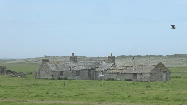
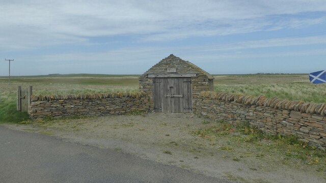
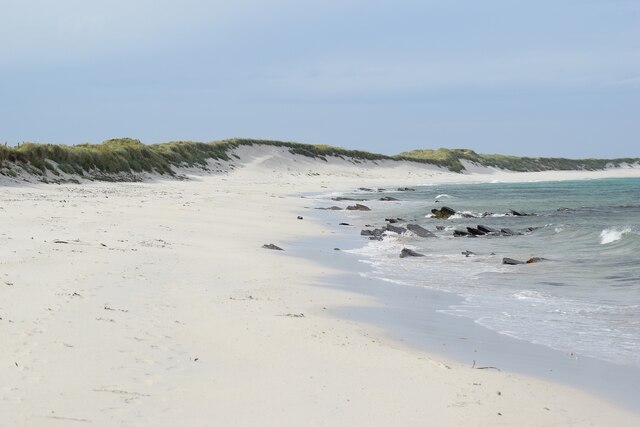
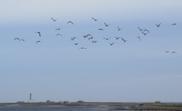
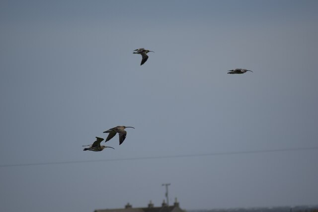
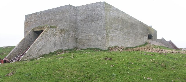
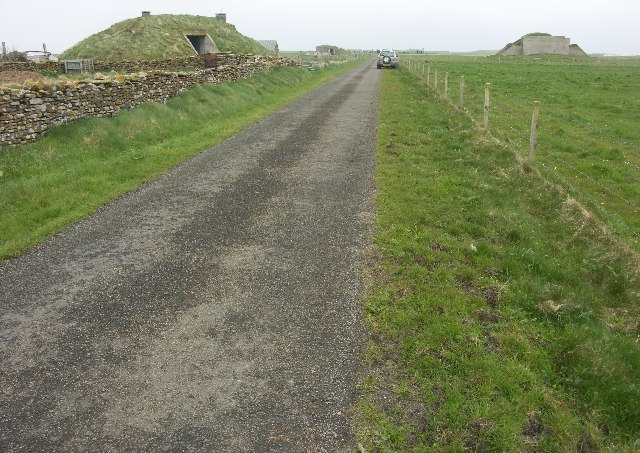
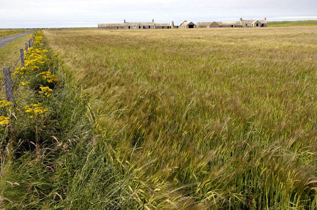
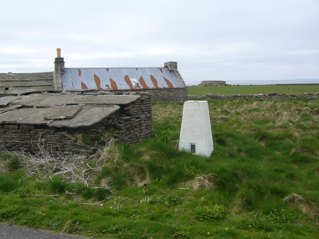
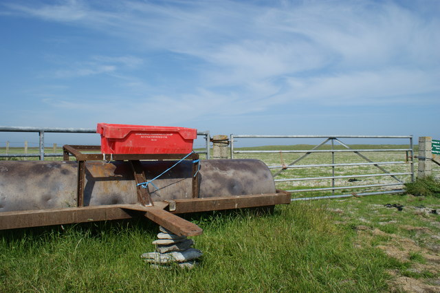
Loch of Rummie Images

Images are sourced within 2km of 59.290974/-2.4290086 or Grid Reference HY7545. Thanks to Geograph Open Source API. All images are credited.

Ruined buildings at Newbigging, Sanday
Lopness Trig Point, Sanday
Wreck of B-98, Bay of Lopness, Sanday Remains of a World War 1 German Torpedo Ship-Destroyer stranded at Bay of Lopness in 1920 when being towed to Rosyth to be broken up.
Wreck of B-98, Bay of Lopness, Sanday
Remains of a World War 1 German Torpedo Ship-Destroyer stranded at Bay of Lopness in 1920 when being towed to Rosyth to be broken up.
Hearsie Hoose, Sanday Where the horse drawn hearse was (or is) kept.
Hearsie Hoose, Sanday
Where the horse drawn hearse was (or is) kept.
Sanday - Sand and dunes bordering Scuthvie Bay Beautiful white sands along the coast of Sanday bordering Scuthvie Bay.
The view in the opposite direction can be seen here  <a href="https://www.geograph.org.uk/photo/7550397">HY7843 : Sanday - Looking across Scuthvie Bay to Start Point lighthouse</a>
Sanday - Sand and dunes bordering Scuthvie Bay
Beautiful white sands along the coast of Sanday bordering Scuthvie Bay. The view in the opposite direction can be seen here HY7843 : Sanday - Looking across Scuthvie Bay to Start Point lighthouse
Sanday - Curlew over Scuthvie Bay A flock of curlew (Numenius arquata) in the sky over Scuthvie Bay on Sanday - I make it 34 of them in this picture. Start Point Lighthouse can be seen in the distance - see <a href="https://www.geograph.org.uk/photo/7550397">HY7843 : Sanday - Looking across Scuthvie Bay to Start Point lighthouse</a> for more information on this.
See <a href="https://www.geograph.org.uk/photo/7550420">HY7644 : Sanday - Curlew in flight</a> 
and <a href="https://www.geograph.org.uk/photo/7560814">HY7644 : Sanday - Two curlew in flight</a>
for closer views of the curlew and more details about this wader.
Sanday - Curlew over Scuthvie Bay
A flock of curlew (Numenius arquata) in the sky over Scuthvie Bay on Sanday - I make it 34 of them in this picture. Start Point Lighthouse can be seen in the distance - see HY7843 : Sanday - Looking across Scuthvie Bay to Start Point lighthouse for more information on this. See HY7644 : Sanday - Curlew in flight and HY7644 : Sanday - Two curlew in flight for closer views of the curlew and more details about this wader.
Sanday - Curlew in flight Four curlew (Numenius arquata) in flight inland from Scuthvie Bay on the island of Sanday in the Orkneys. Their distinctive long down-curved bill can be seen clearly here, though this is not a particularly good way of identifying them as several other waders also have such bills, however, the curlew is considerably larger than most other waders.
There were many more of these birds with their haunting and evocative call - see <a href="https://www.geograph.org.uk/photo/7550409">HY7644 : Sanday - Curlew over Scuthvie Bay</a> for a small flock of them.
For more information on the curlew, see the BTO page here - <span class="nowrap"><a title="https://www.bto.org/understanding-birds/birdfacts/curlew" rel="nofollow ugc noopener" href="https://www.bto.org/understanding-birds/birdfacts/curlew">Link</a><img style="margin-left:2px;" alt="External link" title="External link - shift click to open in new window" src="https://s1.geograph.org.uk/img/external.png" width="10" height="10"/></span>
See also <a href="https://www.geograph.org.uk/photo/7560814">HY7644 : Sanday - Two curlew in flight</a>
Sanday - Curlew in flight
Four curlew (Numenius arquata) in flight inland from Scuthvie Bay on the island of Sanday in the Orkneys. Their distinctive long down-curved bill can be seen clearly here, though this is not a particularly good way of identifying them as several other waders also have such bills, however, the curlew is considerably larger than most other waders. There were many more of these birds with their haunting and evocative call - see HY7644 : Sanday - Curlew over Scuthvie Bay for a small flock of them. For more information on the curlew, see the BTO page here - LinkExternal link See also HY7644 : Sanday - Two curlew in flight
Sanday - Two curlew in flight As with <a href="https://www.geograph.org.uk/photo/7550420">HY7644 : Sanday - Curlew in flight</a> these curlew (Numenius arquata) were flying inland from Scuthvie Bay on Sanday. The very long, slender curved bills can be seen clearly in this image along with the mottled plumage on the lower bird.
See also <a href="https://www.geograph.org.uk/photo/7550409">HY7644 : Sanday - Curlew over Scuthvie Bay</a>
Sanday - Two curlew in flight
As with HY7644 : Sanday - Curlew in flight these curlew (Numenius arquata) were flying inland from Scuthvie Bay on Sanday. The very long, slender curved bills can be seen clearly in this image along with the mottled plumage on the lower bird. See also HY7644 : Sanday - Curlew over Scuthvie Bay
Whalehead WWII Chain Home radar station Isle of Sanday, Orkney
Whalehead WWII Chain Home radar station
Isle of Sanday, Orkney
Whalehead WWII Chain Home radar station Isle of Sanday, Orkney
Whalehead WWII Chain Home radar station
Isle of Sanday, Orkney
Whalehead WWII Chain Home radar station (Reserve site) Isle of Sanday, Orkney
Whalehead WWII Chain Home radar station (Reserve site)
Isle of Sanday, Orkney
WW2 Mortuary on Sanday Only remaining building of the camp associated with the RAF Whalehead Chain Home radar station on Isle of Sanday in the Orkney Islands.
WW2 Mortuary on Sanday
Only remaining building of the camp associated with the RAF Whalehead Chain Home radar station on Isle of Sanday in the Orkney Islands.
WW1 Shipwreck, Bay of Lopness, Sanday, Orkney Wreck of the german Destroyer B98 BOS, run aground in 1919 at Lopness Bay, Sanday, Orkney. Lop Ness in the background <a href="https://www.geograph.org.uk/gridref/HY7543">HY7543</a>

There is an information board and picnic site on the dunes close to the wreck.
WW1 Shipwreck, Bay of Lopness, Sanday, Orkney
Wreck of the german Destroyer B98 BOS, run aground in 1919 at Lopness Bay, Sanday, Orkney. Lop Ness in the background HY7543 There is an information board and picnic site on the dunes close to the wreck.
Galilee Deserted houses in the north-east of Sanday
Galilee
Deserted houses in the north-east of Sanday
Lopness trig
Lopness trig
Lopness Foreshore and German WW1 Shipwreck Taken from the picnic table and car park at Bay of Lopness. The destroyer was on its way to be interned in Scapa Flow when she ran aground.
Lopness Foreshore and German WW1 Shipwreck
Taken from the picnic table and car park at Bay of Lopness. The destroyer was on its way to be interned in Scapa Flow when she ran aground.
Irises growing on roadside, Eastern Sanday Yellow flag irises growing on the roadside at the eastern end of the B9069 on the island of Sanday.  Behind the house are sand dunes edging Scuthvie Bay.

The black on the road is tar, melting in the high temperatures (by local standards).
Irises growing on roadside, Eastern Sanday
Yellow flag irises growing on the roadside at the eastern end of the B9069 on the island of Sanday. Behind the house are sand dunes edging Scuthvie Bay. The black on the road is tar, melting in the high temperatures (by local standards).
Field roller at gateside, in the northwest of Sanday Sandy field in background shows why the Vikings named the island Sanday (= sand island)
Field roller at gateside, in the northwest of Sanday
Sandy field in background shows why the Vikings named the island Sanday (= sand island)
Show me another place!

Loch of Rummie is located at Grid Ref: HY7545 (Lat: 59.290974, Lng: -2.4290086)

Unitary Authority: Orkney Islands

Police Authority: Highlands and Islands

What 3 Words

///jeering.trying.grumbles. Near Hollandstoun, Orkney Islands

Related Wikis

East Sanday Coast

The East Sanday Coast is a protected wetland area on and around the island of Sanday, the third-largest of the Orkney islands off the north coast of Scotland...

Broch of Burrian

The Broch of Burrian is an Iron Age broch located on North Ronaldsay in the Orkney Islands, in Scotland (grid reference HY76275138). == Location == The...

Bustatoun

Bustatoun is a village on the island of North Ronaldsay, in Orkney, Scotland. The settlement is within the parish of Cross and Burness. == References... ==

Scar boat burial

The Scar boat burial is a Viking boat burial near the village of Scar, on Sanday, in Orkney, Scotland. The burial, which dates to between 875 and 950 AD...

Nearby Amenities

Located within 500m of 59.290974,-2.4290086
Power: pole
Lat/Long: 59.2881701/-2.4357972
Power: pole
Lat/Long: 59.2914439/-2.4263585
Power: pole
Lat/Long: 59.2903124/-2.4258515
Power: pole
Lat/Long: 59.2892166/-2.4253392
Power: pole
Lat/Long: 59.288107/-2.4247867
The data included in this document is from www.openstreetmap.org. The data is made available under ODbL.

Have you been to Loch of Rummie?

Leave your review of Loch of Rummie below (or comments, questions and feedback).