Chishill, Great

Settlement in Essex South Cambridgeshire

England

Chishill, Great

Great Chishill, St Swithuns <span class="nowrap"><a title="http://www.druidic.org/camchurch/churches/gtchishill.htm" rel="nofollow ugc noopener" href="http://www.druidic.org/camchurch/churches/gtchishill.htm">Link</a><img style="margin-left:2px;" alt="External link" title="External link - shift click to open in new window" src="https://s1.geograph.org.uk/img/external.png" width="10" height="10"/></span>
Great Chishill, St Swithuns Credit: mym

The requested URL returned error: 429 Too Many Requests

If you have any feedback on the listing, please let us know in the comments section below.

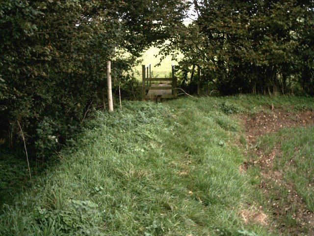
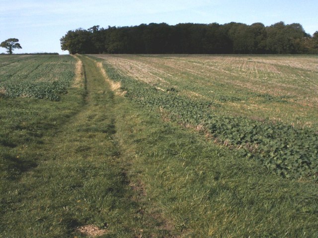
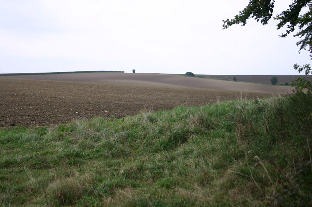
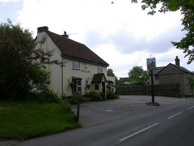
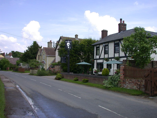
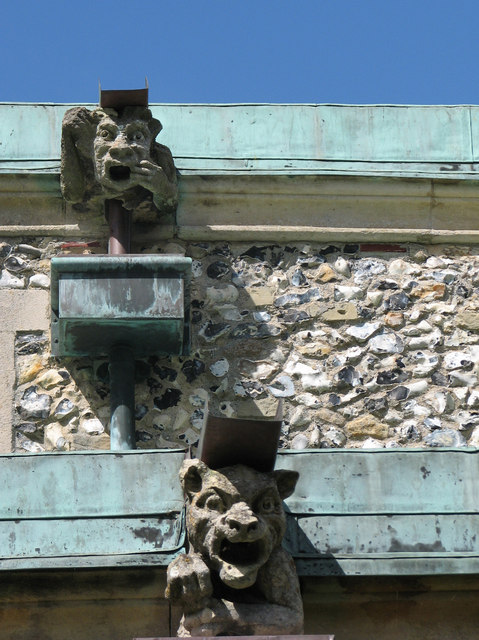
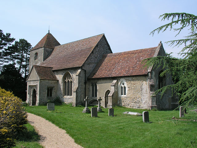
Chishill, Great Images

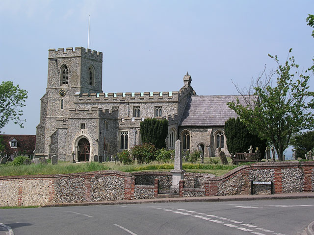
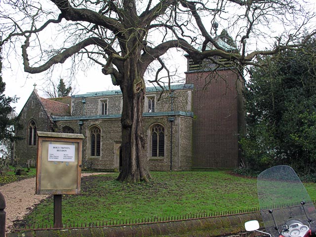
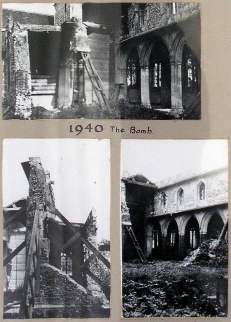
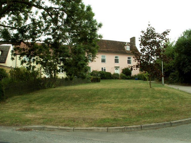
Images are sourced within 2km of 52.030166/0.075793 or Grid Reference TL4238. Thanks to Geograph Open Source API. All images are credited.

Great Chishill, St Swithuns <span class="nowrap"><a title="http://www.druidic.org/camchurch/churches/gtchishill.htm" rel="nofollow ugc noopener" href="http://www.druidic.org/camchurch/churches/gtchishill.htm">Link</a><img style="margin-left:2px;" alt="External link" title="External link - shift click to open in new window" src="https://s1.geograph.org.uk/img/external.png" width="10" height="10"/></span>
Great Chishill, St Swithuns
Little Chishill, St Nicholas <span class="nowrap"><a title="http://www.druidic.org/camchurch/churches/ltchishill.htm" rel="nofollow ugc noopener" href="http://www.druidic.org/camchurch/churches/ltchishill.htm">Link</a><img style="margin-left:2px;" alt="External link" title="External link - shift click to open in new window" src="https://s1.geograph.org.uk/img/external.png" width="10" height="10"/></span>
Little Chishill, St Nicholas
Heydon, Holy Trinity <span class="nowrap"><a title="http://www.druidic.org/camchurch/churches/heydon.htm" rel="nofollow ugc noopener" href="http://www.druidic.org/camchurch/churches/heydon.htm">Link</a><img style="margin-left:2px;" alt="External link" title="External link - shift click to open in new window" src="https://s1.geograph.org.uk/img/external.png" width="10" height="10"/></span>
Heydon, Holy Trinity
Heydon, Holy Trinity 1940
Chishill Windmill This post mill is an interesting example of rural engineering, built in 1819 using timbers from an earlier mill of 1726 it was last restored in 1951.
Chishill Windmill
This post mill is an interesting example of rural engineering, built in 1819 using timbers from an earlier mill of 1726 it was last restored in 1951.
Patterns in the Fields Way past harvest time but some interesting patterns here in the fields.
Patterns in the Fields
Way past harvest time but some interesting patterns here in the fields.
Old house at Great Chishill, Cambs.
Footpath bridge by Barnard's Wood Bridge over the stream on the footpath between the B1039 and Chrishall, nearby Barnard's Wood.
Footpath bridge by Barnard's Wood
Bridge over the stream on the footpath between the B1039 and Chrishall, nearby Barnard's Wood.
Bridleway at Building End Bridleway leading from Building End to Great Chishill
Bridleway at Building End
Bridleway leading from Building End to Great Chishill
Chishill windmill The windmill at Chishill is preserved by the Cambridgeshire County Council
Chishill windmill
The windmill at Chishill is preserved by the Cambridgeshire County Council
By the Copse above Little Chishill Just off the bridleway by the copse above Little Chishill looking over the fields
By the Copse above Little Chishill
Just off the bridleway by the copse above Little Chishill looking over the fields
Bridleway heading down to Little Chishill Bridleway from Great Chishill heading down to Little Chishill
Bridleway heading down to Little Chishill
Bridleway from Great Chishill heading down to Little Chishill
The Pheasant, Great Chishill
The sign of The Pheasant
The King William IV, Heydon
Heydon Church Doorway
Gargoyles at Heydon Church
The approach to Great Chishill from Hall Farm This is the view from the entrance to Hall Farm.
The approach to Great Chishill from Hall Farm
This is the view from the entrance to Hall Farm.
Show me another place!

Chishill, Great is located at Grid Ref: TL4238 (Lat: 52.030166, Lng: 0.075793)

Administrative County: Cambridgeshire

District: South Cambridgeshire

Police Authority: Cambridgeshire

What 3 Words

///responses.sheets.vibes. Near Fowlmere, Cambridgeshire

Related Wikis

Great Chishill

Great Chishill is a village and former civil parish, now in the parish of Great and Little Chishill, in the South Cambridgeshire district, in the county...

Heydon, Cambridgeshire

Heydon is a village and civil parish in Cambridgeshire, England. The parish of Heydon was transferred from Essex to Cambridgeshire in 1894. The area of...

Little Chishill

Little Chishill is a village and former civil parish, now in the parish of Great and Little Chishill, in the South Cambridgeshire district, in the county...

Chrishall

Chrishall (pronounced Chris hall) is a small village in the English county of Essex. It is located 12 miles (20 km) south of Cambridge and lies equidistant...

Nearby Amenities

Located within 500m of 52.030166,0.075793
Great Chishill
Is In: Cambridgeshire, England, UK
Note: population includes Little Chishill
Place: village
Population: 590
Source Population: http://www.scambs.gov.uk/CommunityandLiving/VillageServicesAndAmenities/
Wikidata: Q1879294
Wikipedia: en:Great Chishill
Lat/Long: 52.0297899/0.0746135
Parking
Lat/Long: 52.0300173/0.0729149
Post Box
Post Box Type: lamp
Ref: SG8 304
Royal Cypher: EIIR
Royal Cypher Wikidata: Q33102113
Lat/Long: 52.0299733/0.0727454
Post Box
Post Box Type: lamp
Ref: SG8 305
Lat/Long: 52.0276586/0.0768732
Bus Stop
Church
Bus: yes
Naptan AtcoCode: 0500SGALC001
Naptan Bearing: SW
Naptan CommonName: Church
Naptan Indicator: opp
Naptan Landmark: Hall Lane
Naptan NaptanCode: cmbdwgwp
Naptan ShortCommonName: Church
Naptan Street: Heydon Road
Naptan Verified: no
Public Transport: platform
Shelter: yes
Source: naptan_import
Lat/Long: 52.0299871/0.0727785
Bus Stop
Church
Bus: yes
Naptan AtcoCode: 0500SGALC002
Naptan Bearing: NE
Naptan BusStopType: CUS
Naptan CommonName: Church
Naptan Indicator: near
Naptan Landmark: Barley Road
Naptan NaptanCode: cmbdwgwt
Naptan ShortCommonName: Church
Naptan Street: Heydon Road
Naptan Verified: no
Public Transport: platform
Source: naptan_import
Lat/Long: 52.03002/0.0727727
Bus Stop
Lime Farm
Bus: yes
Fixme: These stops are quite mildly offset
Naptan AtcoCode: 0500SGALC004
Naptan Bearing: NE
Naptan BusStopType: CUS
Naptan CommonName: Lime Farm
Naptan Indicator: opp
Naptan Landmark: Lime Farm
Naptan NaptanCode: cmbdwjag
Naptan Street: Heydon Road
Naptan Verified: no
Public Transport: platform
Source: naptan_import
Lat/Long: 52.0328179/0.0794565
Bus Stop
Lime Farm
Bus: yes
Fixme: These stops are quite mildly offset
Naptan AtcoCode: 0500SGALC006
Naptan Bearing: SW
Naptan BusStopType: CUS
Naptan CommonName: Lime Farm
Naptan Indicator: near
Naptan Landmark: Lime Farm
Naptan NaptanCode: cmbdwjam
Naptan Street: Heydon Road
Naptan Verified: no
Public Transport: platform
Source: naptan_import
Lat/Long: 52.0327987/0.0795285
Door: hinged
Entrance: yes
Lat/Long: 52.029902/0.0716064
Power: pole
Lat/Long: 52.0293361/0.08032
Power: pole
Lat/Long: 52.0287652/0.0790503
Power: pole
Lat/Long: 52.0312306/0.0826294
Power: pole
Lat/Long: 52.0341277/0.0790357
Power: pole
Lat/Long: 52.0280662/0.079329
Power: pole
Lat/Long: 52.0302528/0.0814989
Material: wood
Power: pole
Lat/Long: 52.0336571/0.0802007
Power: pole
Lat/Long: 52.0338023/0.0758823
Power: pole
Lat/Long: 52.0333592/0.0749973
Leisure: picnic_table
Source: GPS, observation
Lat/Long: 52.0277192/0.0777814
Bench
Backrest: yes
Source: GPS, observation
Lat/Long: 52.0277146/0.0772523
Bus Stop
Plaistow Way
Bus: yes
Naptan AtcoCode: 0500SGALC007
Naptan BusStopType: CUS
Naptan NaptanCode: CMBGMJTG
Naptan Verified: no
Public Transport: platform
Source: naptan
Lat/Long: 52.0288954/0.073387
Bus Stop
Plaistow Way
Bus: yes
Naptan AtcoCode: 0500SGALC008
Naptan BusStopType: CUS
Naptan NaptanCode: CMBGMJTJ
Naptan Verified: no
Public Transport: platform
Source: naptan
Lat/Long: 52.0291403/0.0727569
Public Bookcase
Booth: K6
Colour: red
Disused Amenity: telephone
Listed Status: Grade II
Man Made: telephone_box
Public Bookcase Type: phone_box
Wikidata: Q26588054
Lat/Long: 52.0300002/0.0728013
Barrier: cycle_barrier
Lat/Long: 52.0328156/0.0795276
Cambridgeshire County Top
Description: The highest point of the current administrative county of Cambridgeshire, 146 m (479 ft) above sea level, is about 1⁄2 mile (800 m) east of St Swithun's parish church.
Ele: 146
Natural: peak
Note: Needs survey for exact location.
Source: https://en.wikipedia.org/wiki/Great_Chishill
Wikidata: Q1879294
Wikipedia: en:Great Chishill
Lat/Long: 52.0299206/0.0753848
Entrance: main
Lat/Long: 52.0281545/0.0789034
Historic: memorial
Memorial: war_memorial
Lat/Long: 52.0297098/0.0720374
The data included in this document is from www.openstreetmap.org. The data is made available under ODbL.

Have you been to Chishill, Great?

Leave your review of Chishill, Great below (or comments, questions and feedback).