Great Chilton

Settlement in Durham

England

Great Chilton

Roundabout on the A689
Roundabout on the A689 Credit: Anthony Parkes

Great Chilton is a small village located in County Durham, England. Situated approximately 1.5 miles south of the town of Ferryhill, Great Chilton is part of the larger Chilton area. The village is nestled in a countryside setting, surrounded by picturesque fields and rolling hills.

With a population of around 1,000 residents, Great Chilton maintains a close-knit community atmosphere. The village offers a range of amenities to cater to the needs of its inhabitants. These amenities include a local primary school, a village hall for community gatherings and events, and a post office for essential services. There are also several small businesses, such as local shops and cafes, that contribute to the village's economy.

Great Chilton is well-connected to neighboring areas via road links, including the nearby A167 road, which provides easy access to larger towns like Darlington and Durham City. The village also benefits from regular bus services, enhancing its accessibility for both residents and visitors.

The area surrounding Great Chilton boasts natural beauty, making it a popular destination for outdoor enthusiasts. There are various walking and cycling routes that allow visitors to explore the stunning countryside and enjoy the tranquility of the rural setting. Additionally, the village is conveniently located near popular attractions like Hardwick Park and the Durham Dales, offering residents and visitors a range of recreational opportunities.

Overall, Great Chilton is a charming village that offers a peaceful and idyllic lifestyle, while still providing access to essential amenities and nearby attractions.

If you have any feedback on the listing, please let us know in the comments section below.

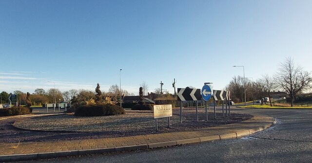
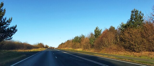
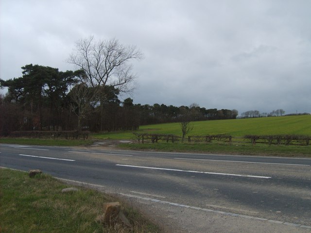
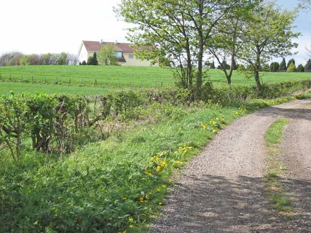
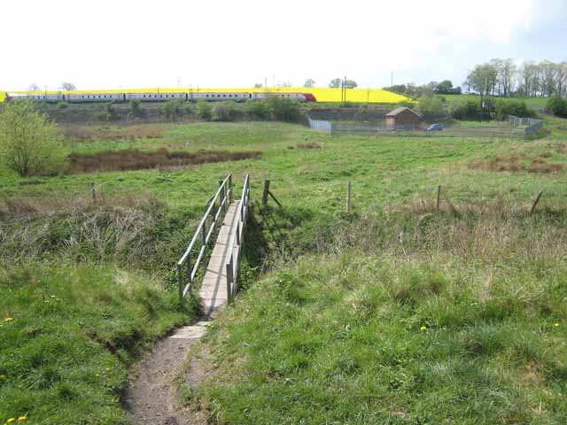
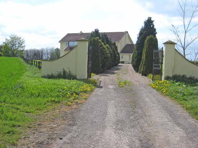
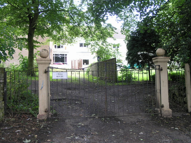
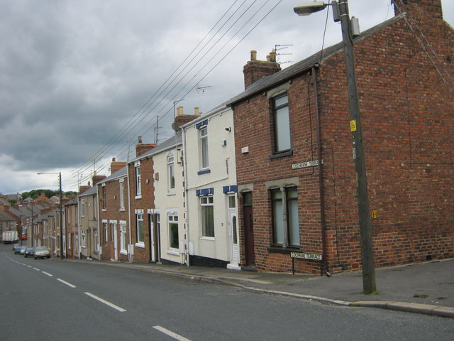
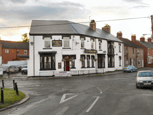
Great Chilton Images

Images are sourced within 2km of 54.664253/-1.5519285 or Grid Reference NZ2930. Thanks to Geograph Open Source API. All images are credited.

Roundabout on the A689
The A167
The A167
Hedgerow near Mill Cottages
Borehole Plantation Wood to the north of the A689 near junction 60 of the A1.
Borehole Plantation
Wood to the north of the A689 near junction 60 of the A1.
Chilton Grange Presumably a working farm once upon a time, but now something rather grander.
Chilton Grange
Presumably a working farm once upon a time, but now something rather grander.
Footbridge on the Carrs Looking across a footbridge near the head of the Carrs, an extensive low-lying area in south-central County Durham. Not sure of the function of the small fenced enclosure. Two railways converge here to pass through the Ferryhill Gap. A Virgin Cross-Country train is seen on the embankment.
Footbridge on the Carrs
Looking across a footbridge near the head of the Carrs, an extensive low-lying area in south-central County Durham. Not sure of the function of the small fenced enclosure. Two railways converge here to pass through the Ferryhill Gap. A Virgin Cross-Country train is seen on the embankment.
Chilton Grange Presumably a working farm once upon a time, but now something rather grander.
Chilton Grange
Presumably a working farm once upon a time, but now something rather grander.
Chilton Lane Coming into Chilton Lane, an outlying part of Ferryhill, from Gypsy Lane.
Chilton Lane
Coming into Chilton Lane, an outlying part of Ferryhill, from Gypsy Lane.
Pattern in cobbles At the back of William Street, Chilton Lane.
Pattern in cobbles
At the back of William Street, Chilton Lane.
Derelict Works.
Derelict Works.
Surtees Arms
Surtees Arms
Chilton Lane.
Chilton Lane.
Crag House.
Crag House.
Freight Wagon in the sidings by the East Coast Main Line, Ferryhill Station
Stockton Line by the ECML
The Oaks, Gypsy Lane, Ferryhill
Cochrane Terrace Ferryhill
Surtees Arms, Chilton Lane
Show me another place!

Great Chilton is located at Grid Ref: NZ2930 (Lat: 54.664253, Lng: -1.5519285)

Unitary Authority: County Durham

Police Authority: Durham

What 3 Words

///belief.processor.payout. Near Ferryhill, Co. Durham

Related Wikis

Biomass Energy Centre

Biomass Energy Centre is a biomass fired CHP power station located in the town of Chilton in County Durham. Opened in 2011, the plant was developed, and...

Great Chilton

Great Chilton is a village in County Durham, in England. It is situated to the east of Bishop Auckland, near Chilton. == References == == External links... ==

Rushyford

Rushyford is a village in County Durham, England. It is situated between Darlington and Durham, close to Newton Aycliffe and Chilton. About 1 mile (1.6...

Chilton Lane

Chilton Lane is situated a short distance to the south-east of Ferryhill, and immediately to the south of Ferryhill Station. Nearby are Great Chilton,...

Related Videos

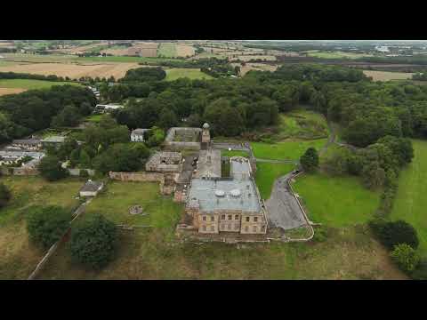
Windlestone Hall Newton Aycliffe August 2022

Late August a simple flight near Newton Aycliffe Co Durham, UK. Energetic Rock | Hiking Free Music by Efficsounds ...

Durham Easter egg run 2019

The North East Bikers Durham Easter Egg run 2019.

Las americas

Water fountain.

Nearby Amenities

Located within 500m of 54.664253,-1.5519285
Bus Stop
Ruby Avenue
Naptan AtcoCode: 13006018B
Naptan Bearing: NE
Naptan CommonName: Ruby Avenue
Naptan Indicator: north east bound
Naptan Landmark: Landmark not known
Naptan NaptanCode: durgamjp
Naptan Notes: Ruby avenue. At the Golden Grove. Chilton.
Naptan Street: Ruby Avenue
Naptan Verified: no
Source: naptan_import
Lat/Long: 54.6616284/-1.5541937
Bus Stop
The Pentlands
Naptan AtcoCode: 13006019A
Naptan Bearing: N
Naptan CommonName: The Pentlands
Naptan Indicator: north bound
Naptan Landmark: Landmark not known
Naptan NaptanCode: durgamjm
Naptan Notes: Chilton. South Downs atThe pentlands end
Naptan Street: South Downs
Naptan Verified: no
Source: naptan_import
Lat/Long: 54.6608232/-1.5551792
Bus Stop
West Chilton Terrace
Bus: yes
Departures Board: timetable
Naptan AtcoCode: 13006050C
Naptan Bearing: E
Naptan CommonName: West Chilton Terrace
Naptan Indicator: east bound
Naptan Landmark: Landmark not known
Naptan NaptanCode: durdmtdt
Naptan Notes: west chilton terrace- opposite number 1. Chilton
Naptan Street: West Chilton Terrace
Naptan Verified: no
Public Transport: platform
Shelter: yes
Source: naptan_import
Lat/Long: 54.664361/-1.5567839
Bus Stop
West Chilton Terrace
Bench: yes
Bus: yes
Departures Board: timetable
Naptan AtcoCode: 13006050G
Naptan Bearing: W
Naptan CommonName: West Chilton Terrace
Naptan Indicator: west bound
Naptan Landmark: Landmark not known
Naptan NaptanCode: durdmtdw
Naptan Notes: West Chilton Terrace corner with Dale Street.. Chilton
Naptan Street: West Chilton Terrace
Naptan Verified: no
Public Transport: platform
Shelter: yes
Source: naptan_import
Lat/Long: 54.6643206/-1.5580247
Bus Stop
Cemetery
Naptan AtcoCode: 13006755A
Naptan Bearing: N
Naptan CommonName: Cemetery
Naptan Indicator: north bound
Naptan Landmark: Landmark not known
Naptan NaptanCode: durdtadt
Naptan Notes: A 167- next to filling Station. Chilton
Naptan Street: A167
Naptan Verified: no
Source: naptan_import
Lat/Long: 54.6672351/-1.556303
Bus Stop
Cemetery
Naptan AtcoCode: 13006755E
Naptan Bearing: S
Naptan CommonName: Cemetery
Naptan Indicator: south bound
Naptan Landmark: Outside Cemetery
Naptan NaptanCode: durdtadw
Naptan Street: A167
Naptan Verified: no
Source: naptan_import
Lat/Long: 54.6666314/-1.5558755
Bus Stop
Church
Naptan AtcoCode: 13006756C
Naptan Bearing: E
Naptan CommonName: Church
Naptan Indicator: east bound
Naptan Landmark: Landmark not known
Naptan NaptanCode: durdtaga
Naptan Notes: Cragside- at round about with A167. Chilton
Naptan Street: Unclassified Rad to Chilton Lane
Naptan Verified: no
Source: naptan_import
Lat/Long: 54.6641277/-1.5544299
Bus Stop
Church
Naptan AtcoCode: 13006756G
Naptan Bearing: W
Naptan CommonName: Church
Naptan Indicator: west bound
Naptan Landmark: Landmark not known
Naptan NaptanCode: durdtagd
Naptan Notes: A167 Durham Road to the East. Next to Chilton Parish Church. Chilton
Naptan Street: Unclassified Rad to Chilton Lane
Naptan Verified: no
Source: naptan_import
Lat/Long: 54.6640494/-1.5551439
Bus Stop
Cragside
Naptan AtcoCode: 13006757B
Naptan Bearing: NE
Naptan CommonName: Cragside
Naptan Indicator: north east bound
Naptan Landmark: Landmark not known
Naptan NaptanCode: durdtagj
Naptan Notes: Cragside at the croosroad with Coronation Street. Chilton
Naptan Street: Unclassified Rad to Chilton Lane
Naptan Verified: no
Source: naptan_import
Lat/Long: 54.6642199/-1.5502119
Bus Stop
Cragside
Naptan AtcoCode: 13006757G
Naptan Bearing: W
Naptan CommonName: Cragside
Naptan Indicator: west bound
Naptan Landmark: Landmark not known
Naptan NaptanCode: durdtagm
Naptan Notes: Cragside- corner with Coronation Street. Chilton
Naptan Street: Unclassified Rad to Chilton Lane
Naptan Verified: no
Source: naptan_import
Lat/Long: 54.6640348/-1.5511752
Bus Stop
Chilton Hall
Naptan AtcoCode: 13006758B
Naptan Bearing: NE
Naptan CommonName: Chilton Hall
Naptan Indicator: north east bound
Naptan Landmark: Landmark not known
Naptan NaptanCode: durdtagp
Naptan Notes: Chilton Hall Entrance- Chilton Hall- Ferryhill
Naptan Street: Unclassified Rad to Chilton Lane
Naptan Verified: no
Source: naptan_import
Lat/Long: 54.6664487/-1.5453964
Bus Stop
Chilton Hall
Naptan AtcoCode: 13006758F
Naptan Bearing: SW
Naptan CommonName: Chilton Hall
Naptan Indicator: south west bound
Naptan Landmark: Landmark not known
Naptan NaptanCode: durdtagt
Naptan Notes: Chilton Hall Entrance- Chilton Hall- Ferryhill
Naptan Street: Unclassified Rad to Chilton Lane
Naptan Verified: no
Source: naptan_import
Lat/Long: 54.6663586/-1.5453354
Bus Stop
Wheatsheaf
Bench: yes
Bin: yes
Bus: yes
Departures Board: timetable
Naptan AtcoCode: 13006785B
Naptan Bearing: NE
Naptan CommonName: Wheatsheaf
Naptan Indicator: north east bound
Naptan Landmark: Landmark not known
Naptan NaptanCode: durdtdjd
Naptan Notes: Durhan Road- in front of Vaux Breweries. Chilton
Naptan Street: A167 Front Street
Naptan Verified: no
Public Transport: platform
Shelter: yes
Source: naptan_import
Lat/Long: 54.6618629/-1.5581858
Bus Stop
Albert Street
Naptan AtcoCode: 13006789A
Naptan Bearing: N
Naptan CommonName: Albert Street
Naptan Indicator: north bound
Naptan Landmark: Landmark not known
Naptan NaptanCode: durgamjw
Naptan Notes: Chilton. At the end of malvern
Naptan Street: Coronation Road
Naptan Verified: no
Source: naptan_import
Lat/Long: 54.659845/-1.5506943
Bus Stop
South Downs
Naptan AtcoCode: 13006790G
Naptan Bearing: W
Naptan CommonName: South Downs
Naptan Indicator: west bound
Naptan Landmark: Landmark not known
Naptan NaptanCode: durdtdmj
Naptan Notes: Chilton. South Downs- front of number 42
Naptan Street: South Downs
Naptan Verified: no
Source: naptan_import
Lat/Long: 54.6603549/-1.5524714
Bus Stop
Opal Avenue
Naptan AtcoCode: 13006791B
Naptan Bearing: NE
Naptan CommonName: Opal Avenue
Naptan Indicator: north east bound
Naptan Landmark: Landmark not known
Naptan NaptanCode: durdtdmp
Naptan Notes: Opal avenue- corner with Coronation Road. Chilton
Naptan Street: Opal Avenue
Naptan Verified: no
Source: naptan_import
Lat/Long: 54.6625136/-1.5505253
Bus Stop
Opal Avenue
Naptan AtcoCode: 13006791E
Naptan Bearing: S
Naptan CommonName: Opal Avenue
Naptan Indicator: south bound
Naptan Landmark: Landmark not known
Naptan NaptanCode: durdtdmt
Naptan Notes: Coronation Road opposite number 19. Chilton
Naptan Street: Coronation Road
Naptan Verified: no
Source: naptan_import
Lat/Long: 54.6628724/-1.5503663
Bus Stop
Jade Walk
Naptan AtcoCode: 13006792A
Naptan Bearing: N
Naptan CommonName: Jade Walk
Naptan Indicator: north bound
Naptan Landmark: Landmark not known
Naptan NaptanCode: durdtdmw
Naptan Notes: pennine way- opposite Hambleton way entrance. Chilton
Naptan Street: Coronation Road
Naptan Verified: no
Source: naptan_import
Lat/Long: 54.6613589/-1.5493754
Bus Stop
Jade Walk
Naptan AtcoCode: 13006792F
Naptan Bearing: SW
Naptan CommonName: Jade Walk
Naptan Indicator: south west bound
Naptan Landmark: Landmark not known
Naptan NaptanCode: durdtdpa
Naptan Notes: pennine way- front of number 13. Chilton
Naptan Street: Coronation Road
Naptan Verified: no
Source: naptan_import
Lat/Long: 54.6608277/-1.5491022
Bus Stop
Emerald Walk
Naptan AtcoCode: 13006795A
Naptan Bearing: N
Naptan CommonName: Emerald Walk
Naptan Indicator: north bound
Naptan Landmark: Landmark not known
Naptan NaptanCode: durgampa
Naptan Notes: Chilton. At the end of malvern
Naptan Street: Coronation Road
Naptan Verified: no
Source: naptan_import
Lat/Long: 54.6635295/-1.5506226
Turning Circle
Lat/Long: 54.6615557/-1.5500173
Turning Circle
Noexit: yes
Lat/Long: 54.6614381/-1.5534722
Turning Circle
Lat/Long: 54.6614697/-1.5524262
Turning Circle
Lat/Long: 54.6629448/-1.5509246
Landuse: recreation_ground
Lat/Long: 54.6631024/-1.5552063
Leisure: picnic_table
Lat/Long: 54.6678315/-1.5562056
Power: pole
Lat/Long: 54.6674003/-1.5473825
Power: pole
Lat/Long: 54.6669458/-1.5484446
Power: pole
Lat/Long: 54.6664634/-1.5496302
Power: pole
Lat/Long: 54.6659747/-1.5508345
Power: pole
Lat/Long: 54.6655016/-1.5519905
Power: pole
Lat/Long: 54.6649664/-1.5532887
Power: pole
Lat/Long: 54.6646205/-1.5540987
Power: pole
Lat/Long: 54.6642947/-1.554898
Morrisons Daily
Addr City: Ferryhill
Addr Housenumber: 23A
Addr Postcode: DL17 0QQ
Addr Street: South Downs
Addr Suburb: Chilton
Brand: Morrisons Daily
Brand Wikidata: Q99752411
Fhrs Id: 965590
Operator: McColl's
Operator Wikidata: Q16997477
Shop: convenience
Website: https://my.morrisons.com/storefinder/64740/morrisons-daily-ferryhill-chilton-sth-downs
Lat/Long: 54.6604938/-1.5539217
Sainsbury's Local
Addr Street: Durham Road
Addr Village: Chilton
Brand: Sainsbury's Local
Brand Wikidata: Q13218434
Fhrs Id: 606834
Not Addr Postcode: DL17 0ET
Note: No longer valid postcode, but matches FHRS data
Shop: convenience
Source Addr: FHRS Open Data
Website: https://stores.sainsburys.co.uk/4628/durham-road-local
Lat/Long: 54.6617366/-1.5577712
Chilton Aquatics
Addr Street: Eden Terrace
Pet: fish
Shop: pet
Website: http://www.chiltonaquatics.co.uk/
Lat/Long: 54.6639294/-1.5565167
The data included in this document is from www.openstreetmap.org. The data is made available under ODbL.

Have you been to Great Chilton?

Leave your review of Great Chilton below (or comments, questions and feedback).