Wheel Hill

Hill, Mountain in Durham

England

Wheel Hill

Land between the two railway lines
Land between the two railway lines Credit: N Chadwick

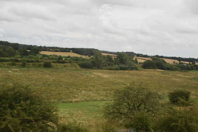
Wheel Hill is a prominent natural landmark located in Durham, a historic county in northeast England. Situated in the heart of the Durham Dales, this hill is known for its distinctive wheel-like shape, hence the name. It stands at an elevation of approximately 286 meters (938 feet) above sea level and offers breathtaking panoramic views of the surrounding countryside.

The hill is characterized by its gently sloping sides, covered in lush green vegetation that changes with the seasons. It is primarily composed of limestone, which contributes to the unique flora and fauna that can be found on its slopes. This makes Wheel Hill a popular spot for nature enthusiasts and hikers who are keen to explore the diverse ecosystem that thrives in the area.

The ascent to the summit of Wheel Hill is relatively easy, with a well-maintained footpath leading visitors to the top. Along the way, walkers can enjoy the sight of wildflowers, grazing sheep, and the occasional glimpse of wildlife such as rabbits or birds of prey.

At the summit, visitors are rewarded with stunning views that stretch for miles across the Durham countryside. On clear days, it is possible to see as far as the distant Pennines and the North Sea. The beauty of Wheel Hill is further enhanced by the presence of nearby historic landmarks, including the iconic Durham Cathedral and Durham Castle.

Overall, Wheel Hill is a captivating natural feature that offers both locals and tourists a chance to immerse themselves in the scenic wonders of the Durham Dales.

If you have any feedback on the listing, please let us know in the comments section below.
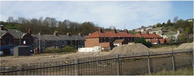
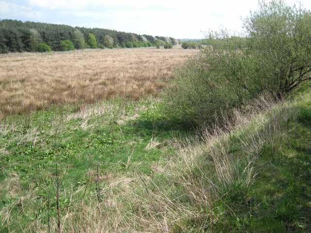
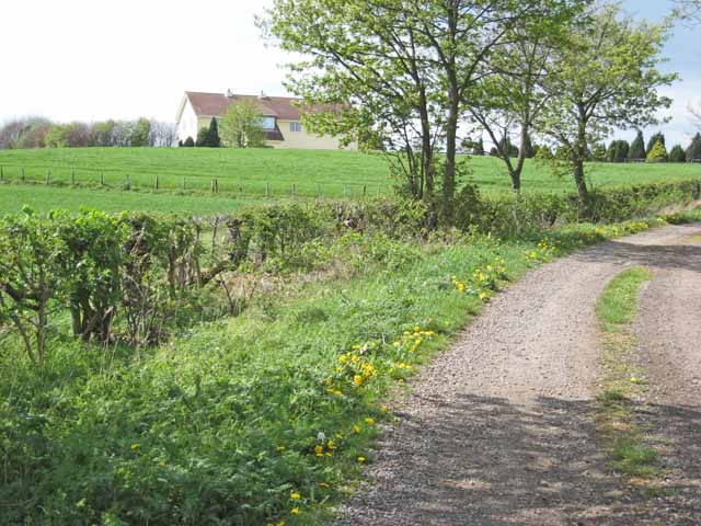
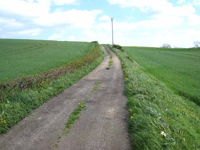
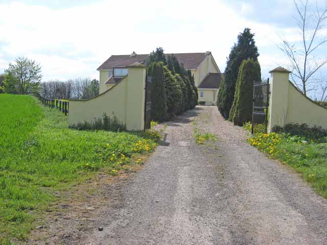
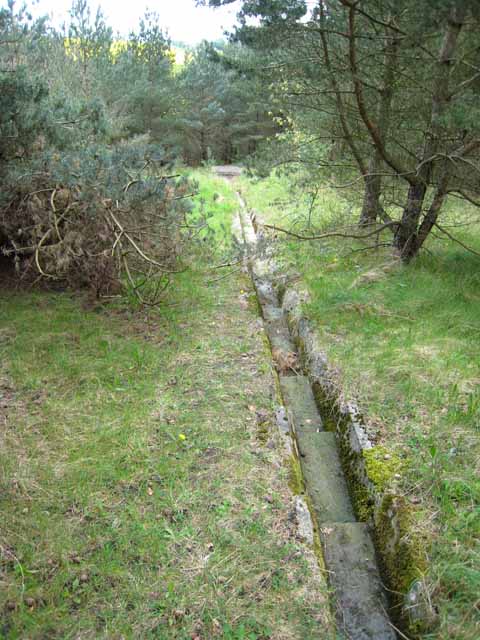
Wheel Hill Images

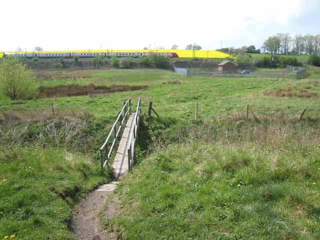
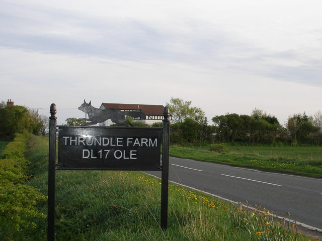
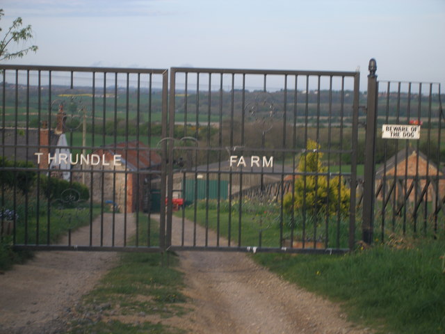
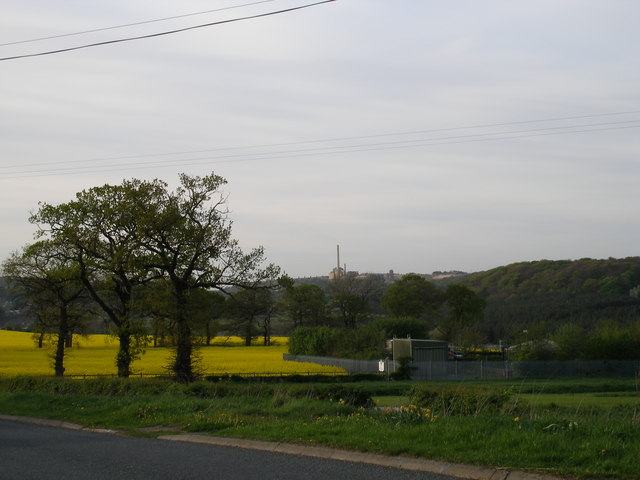
Images are sourced within 2km of 54.669639/-1.5431088 or Grid Reference NZ2930. Thanks to Geograph Open Source API. All images are credited.

Land between the two railway lines
The A167
The A167
Ferryhill Station ECML and Sidings A lot has changed in the 31 years since I took this photo as a schoolboy. The main line is electrified, the sidings are today usually empty, and the pit heap of Mainsforth Colliery has been landscaped. The 'Deltic' diesel locos were finally pensioned off at the end of 1981, but a few still grace these parts on rail tours.
Ferryhill Station ECML and Sidings
A lot has changed in the 31 years since I took this photo as a schoolboy. The main line is electrified, the sidings are today usually empty, and the pit heap of Mainsforth Colliery has been landscaped. The 'Deltic' diesel locos were finally pensioned off at the end of 1981, but a few still grace these parts on rail tours.
Mainsforth and District Community Association, Ferryhill
Ferryhill Station A community at the south end of the Ferryhill Gap, through which the East Coast Main Line passes.
Ferryhill Station
A community at the south end of the Ferryhill Gap, through which the East Coast Main Line passes.
The Carrs, near Chilton Lane Mid-southern County Durham is characterised by an extensive area of low-lying land, occupied at least in Roman times by lakes, now drained by the River Skerne and its tributaries. It is probable that the Romans used the lakes and interconnecting canals for water transport. <span class="nowrap"><a title="https://web.archive.org/web/20040602230144/http://www.davison03.freeserve.co.uk/the%20ancient%20lakes%20of%20county%20durham.htm" rel="nofollow ugc noopener" href="https://web.archive.org/web/20040602230144/http://www.davison03.freeserve.co.uk/the%20ancient%20lakes%20of%20county%20durham.htm">Archive Link</a><img style="margin-left:2px;" alt="External link" title="External link - shift click to open in new window" src="https://s1.geograph.org.uk/img/external.png" width="10" height="10"/></span> . 
This view of the "Carrs" (a place-name meaning damp willow woodland) lies towards the northern end of this area, where two railways from the south converge to squeeze through a narrow gap in the flanking hills at Ferryhill. The photograph is taken from the foot of one of the railway embankments.
The Carrs, near Chilton Lane
Mid-southern County Durham is characterised by an extensive area of low-lying land, occupied at least in Roman times by lakes, now drained by the River Skerne and its tributaries. It is probable that the Romans used the lakes and interconnecting canals for water transport. Archive LinkExternal link . This view of the "Carrs" (a place-name meaning damp willow woodland) lies towards the northern end of this area, where two railways from the south converge to squeeze through a narrow gap in the flanking hills at Ferryhill. The photograph is taken from the foot of one of the railway embankments.
Chilton Grange Presumably a working farm once upon a time, but now something rather grander.
Chilton Grange
Presumably a working farm once upon a time, but now something rather grander.
The road to Thrundle Farm Off Gypsy Lane.
The road to Thrundle Farm
Off Gypsy Lane.
Footbridge on the Carrs Looking across a footbridge near the head of the Carrs, an extensive low-lying area in south-central County Durham. Not sure of the function of the small fenced enclosure. Two railways converge here to pass through the Ferryhill Gap. A Virgin Cross-Country train is seen on the embankment.
Footbridge on the Carrs
Looking across a footbridge near the head of the Carrs, an extensive low-lying area in south-central County Durham. Not sure of the function of the small fenced enclosure. Two railways converge here to pass through the Ferryhill Gap. A Virgin Cross-Country train is seen on the embankment.
The postman can't fail to find Thrundle Farm!
Thrundle Farm gates
Thrundle Farm gates
Looking towards Chilton Lane Sewage treatment works The works of Thrislington stone quarry are seen in the middle horizon.
Looking towards Chilton Lane Sewage treatment works
The works of Thrislington stone quarry are seen in the middle horizon.
Chilton Grange Presumably a working farm once upon a time, but now something rather grander.
Chilton Grange
Presumably a working farm once upon a time, but now something rather grander.
Channel in the woods A bit of a mystery. The wood just across the way from Chilton Lane is criss-crossed with a network of these concrete-lined water channels.
Channel in the woods
A bit of a mystery. The wood just across the way from Chilton Lane is criss-crossed with a network of these concrete-lined water channels.
Chilton Lane Coming into Chilton Lane, an outlying part of Ferryhill, from Gypsy Lane.
Chilton Lane
Coming into Chilton Lane, an outlying part of Ferryhill, from Gypsy Lane.
Pattern in cobbles At the back of William Street, Chilton Lane.
Pattern in cobbles
At the back of William Street, Chilton Lane.
Scots Pine on Nable Hill On the footpath from Mainsforth to Chilton Lane.
Scots Pine on Nable Hill
On the footpath from Mainsforth to Chilton Lane.
Wall at Mainsforth This massive wall some 3 metres thick is presumably part of the wall surrounding Mainsforth Hall, demolished in 1962 which was one time occupied by the 18th century antiquarian Robert Surtees. <span class="nowrap"><a title="http://www.northeastengland.talktalk.net/Sedgefield%20and%20South%20Durham.htm#MIDDLEHAM%20AND%20MAINSFORTH" rel="nofollow ugc noopener" href="http://www.northeastengland.talktalk.net/Sedgefield%20and%20South%20Durham.htm#MIDDLEHAM%20AND%20MAINSFORTH">Link</a><img style="margin-left:2px;" alt="External link" title="External link - shift click to open in new window" src="https://s1.geograph.org.uk/img/external.png" width="10" height="10"/></span>
Wall at Mainsforth
This massive wall some 3 metres thick is presumably part of the wall surrounding Mainsforth Hall, demolished in 1962 which was one time occupied by the 18th century antiquarian Robert Surtees. LinkExternal link
Show me another place!

Wheel Hill is located at Grid Ref: NZ2930 (Lat: 54.669639, Lng: -1.5431088)

Unitary Authority: County Durham

Police Authority: Durham

What 3 Words

///singing.barn.skewing. Near Ferryhill, Co. Durham

Related Wikis

Great Chilton

Great Chilton is a village in County Durham, in England. It is situated to the east of Bishop Auckland, near Chilton. == References == == External links... ==

Chilton Lane

Chilton Lane is situated a short distance to the south-east of Ferryhill, and immediately to the south of Ferryhill Station. Nearby are Great Chilton,...

Ferryhill Station

Ferryhill Station is situated to the south east of Ferryhill, next to Chilton Lane and near the site of Ferryhill railway station, a few miles south of...

Biomass Energy Centre

Biomass Energy Centre is a biomass fired CHP power station located in the town of Chilton in County Durham. Opened in 2011, the plant was developed, and...

Nearby Amenities

Located within 500m of 54.669639,-1.5431088
Bus Stop
Chilton Hall
Naptan AtcoCode: 13006758B
Naptan Bearing: NE
Naptan CommonName: Chilton Hall
Naptan Indicator: north east bound
Naptan Landmark: Landmark not known
Naptan NaptanCode: durdtagp
Naptan Notes: Chilton Hall Entrance- Chilton Hall- Ferryhill
Naptan Street: Unclassified Rad to Chilton Lane
Naptan Verified: no
Source: naptan_import
Lat/Long: 54.6664487/-1.5453964
Bus Stop
Chilton Hall
Naptan AtcoCode: 13006758F
Naptan Bearing: SW
Naptan CommonName: Chilton Hall
Naptan Indicator: south west bound
Naptan Landmark: Landmark not known
Naptan NaptanCode: durdtagt
Naptan Notes: Chilton Hall Entrance- Chilton Hall- Ferryhill
Naptan Street: Unclassified Rad to Chilton Lane
Naptan Verified: no
Source: naptan_import
Lat/Long: 54.6663586/-1.5453354
Power: pole
Lat/Long: 54.6692553/-1.536379
Power: pole
Lat/Long: 54.6675169/-1.5365347
Power: pole
Lat/Long: 54.6682475/-1.5369227
Power: pole
Lat/Long: 54.6689974/-1.5373209
Power: pole
Lat/Long: 54.6698402/-1.5377685
Power: pole
Lat/Long: 54.6707012/-1.5382257
Power: pole
Lat/Long: 54.671548/-1.5386753
Power: pole
Lat/Long: 54.6723983/-1.5391269
Power: pole
Lat/Long: 54.6732485/-1.5395784
Power: pole
Lat/Long: 54.6690988/-1.5361615
Power: pole
Lat/Long: 54.668411/-1.5357903
Power: pole
Lat/Long: 54.6690823/-1.5362584
Power: pole
Lat/Long: 54.6712696/-1.5371509
Power: pole
Lat/Long: 54.6705969/-1.5368931
Power: pole
Lat/Long: 54.6698988/-1.5366256
Power: pole
Lat/Long: 54.6719348/-1.5374058
Power: pole
Lat/Long: 54.6725753/-1.5376794
Power: pole
Lat/Long: 54.6668597/-1.5442738
Power: pole
Lat/Long: 54.6673739/-1.5445554
Power: pole
Lat/Long: 54.6729904/-1.5455465
Power: pole
Lat/Long: 54.6721474/-1.5449122
Power: pole
Lat/Long: 54.6712494/-1.5445742
Power: pole
Lat/Long: 54.6703304/-1.5441987
Power: pole
Lat/Long: 54.6694486/-1.5438849
Power: pole
Lat/Long: 54.6688878/-1.5430802
Power: pole
Lat/Long: 54.6682596/-1.5421911
Power: pole
Lat/Long: 54.6687909/-1.5376233
Power: pole
Lat/Long: 54.6685032/-1.539077
Power: pole
Lat/Long: 54.668348/-1.54063
Power: pole
Lat/Long: 54.6682154/-1.5421522
Power: pole
Lat/Long: 54.6680944/-1.5435228
Power: pole
Lat/Long: 54.6679734/-1.544888
Power: pole
Lat/Long: 54.6678377/-1.5463083
Power: pole
Lat/Long: 54.6674003/-1.5473825
Power: pole
Lat/Long: 54.6669458/-1.5484446
The data included in this document is from www.openstreetmap.org. The data is made available under ODbL.

Have you been to Wheel Hill?

Leave your review of Wheel Hill below (or comments, questions and feedback).