Gogaren

Lake, Pool, Pond, Freshwater Marsh in Roxburghshire

Scotland

Gogaren

Grassland, Roxburgh
Grassland, Roxburgh Credit: JThomas

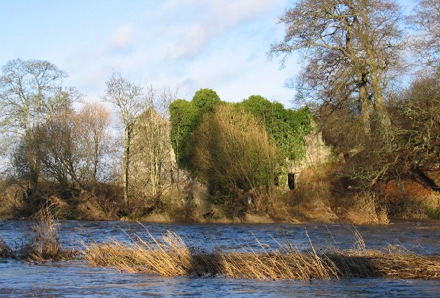
Gogaren is a small freshwater marsh located in the beautiful region of Roxburghshire, Scotland. Nestled amidst stunning natural scenery, Gogaren is a serene and picturesque spot that attracts nature enthusiasts and wildlife observers alike.

Covering an area of approximately 10 acres, Gogaren is a haven for a diverse range of flora and fauna. The marsh is home to a variety of aquatic plants, such as common reed, bulrushes, and water lilies, which thrive in the nutrient-rich waters. These plants provide a vital habitat for numerous species of birds, insects, and small mammals.

The marsh is surrounded by lush greenery and offers a tranquil atmosphere for visitors to enjoy. Its calm waters create a mirror-like reflection of the surrounding landscape, adding to its aesthetic appeal. The marsh also boasts a small lake, pool, and pond, adding to the diversity of its aquatic features.

Wildlife enthusiasts visiting Gogaren will have the opportunity to spot a wide array of bird species, including herons, ducks, geese, and various songbirds. The marsh is also a breeding ground for amphibians like frogs and newts. These diverse habitats make Gogaren an important location for ecological research and conservation efforts.

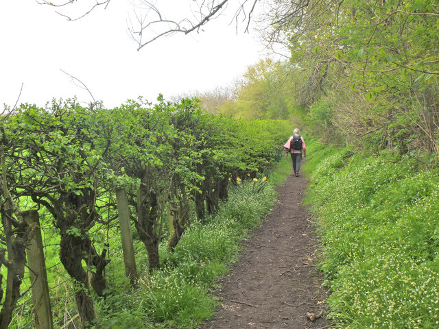
Visitors can explore Gogaren by following the designated walking trails that meander through the marsh. Along these paths, one can observe the unique ecosystem up close and appreciate the intricate balance between land and water. The marsh provides an ideal setting for nature photography, with its stunning vistas and abundant wildlife.

In summary, Gogaren in Roxburghshire is a small yet enchanting freshwater marsh that offers a peaceful retreat for nature lovers. Its diverse habitats and rich biodiversity make it a valuable site for wildlife observation and conservation efforts.

If you have any feedback on the listing, please let us know in the comments section below.
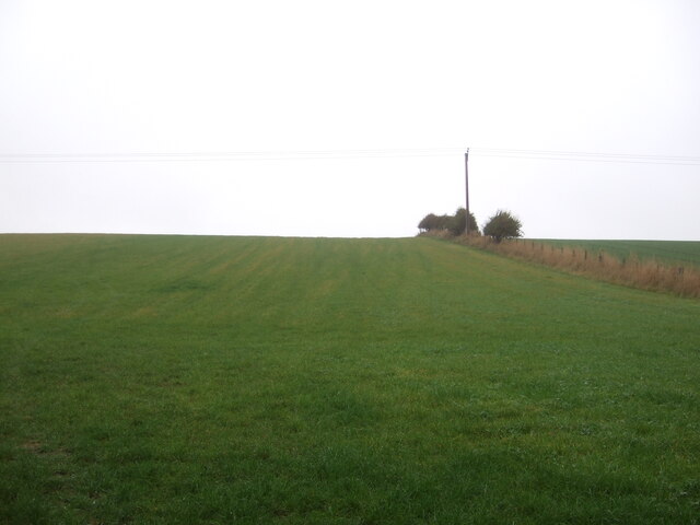
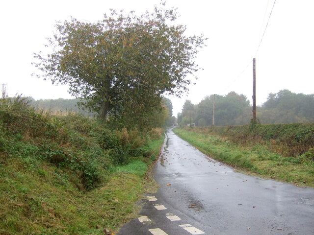
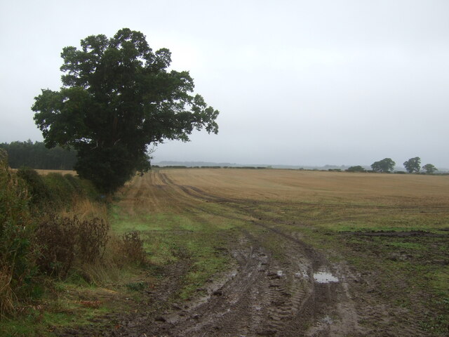
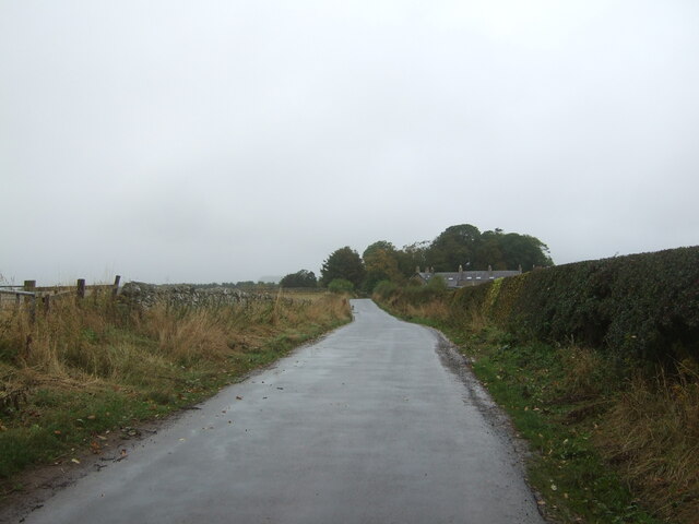
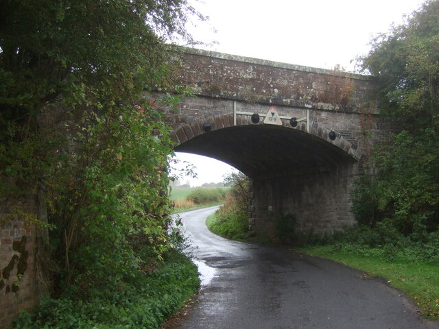
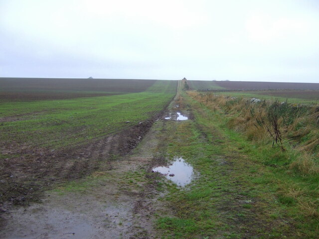
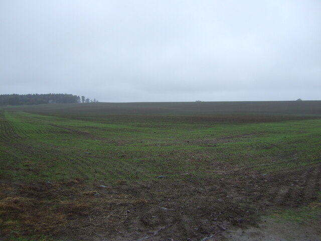
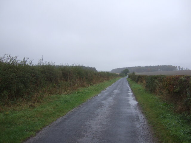
Gogaren Images

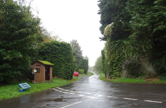
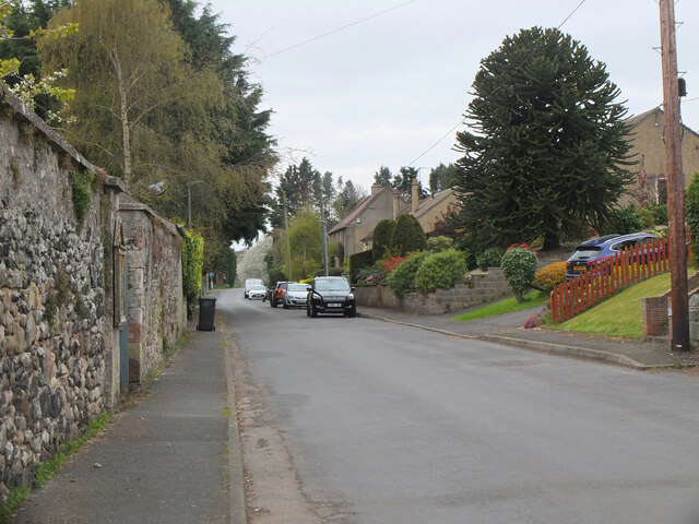
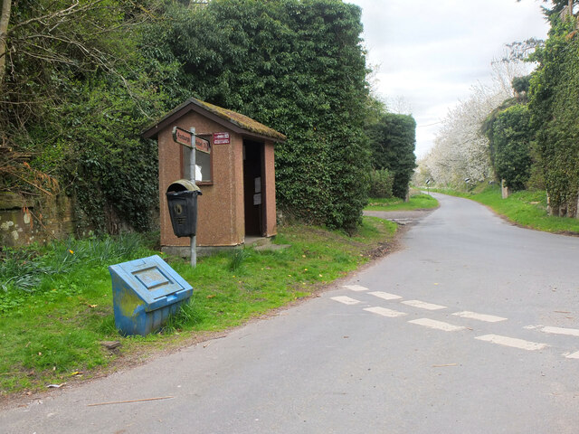
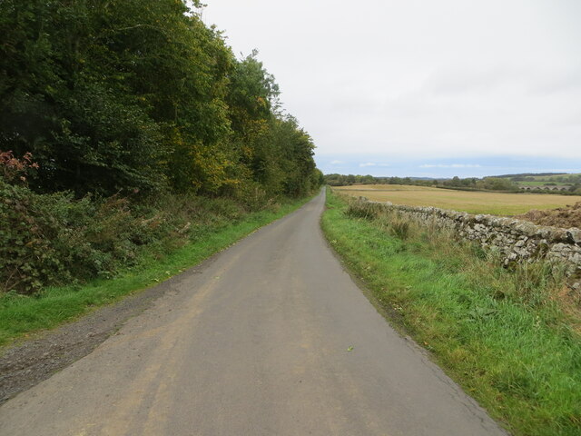
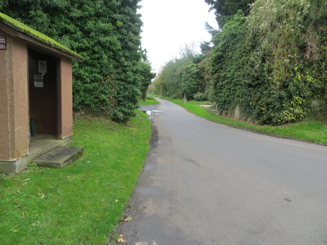
Images are sourced within 2km of 55.575805/-2.4703555 or Grid Reference NT7031. Thanks to Geograph Open Source API. All images are credited.

Grassland, Roxburgh
Grassland, Roxburgh
Minor road into Roxburgh
Stubble field and hedgerow, Over Roxburgh
Minor road, Over Roxburgh
Disused railway bridge, Roxburgh The former St Boswells to Kelso railway line. The line was closed in 1964.
Disused railway bridge, Roxburgh
The former St Boswells to Kelso railway line. The line was closed in 1964.
Farm track near Roxburgh
Emerging crop near Roxburgh On a dreich day in the Borders.
Emerging crop near Roxburgh
On a dreich day in the Borders.
Minor road, the Common Towards Roxburgh Newtown.
Minor road, the Common
Towards Roxburgh Newtown.
Bus shelter on road junction, Roxburgh Remains of a railway bridge behind.
Bus shelter on road junction, Roxburgh
Remains of a railway bridge behind.
Roxburgh village The quiet village of Roxburgh, situated on the west bank of the Teviot south of Kelso. At one time it had a railway station at the junction of the branch line to Jedburgh and the E-W line from Tweedmouth to Newtown St Boswells.
Roxburgh village
The quiet village of Roxburgh, situated on the west bank of the Teviot south of Kelso. At one time it had a railway station at the junction of the branch line to Jedburgh and the E-W line from Tweedmouth to Newtown St Boswells.
Bus shelter and remains of railway bridges, Roxburgh The bus stop is at the west end of the village, on the minor road to Nisbet. Covered in vegetation just past the stop are two bridge abutments for the former railways to Kelso and Jedburgh. Roxburgh station was at the junction, out of shot to the right.
Bus shelter and remains of railway bridges, Roxburgh
The bus stop is at the west end of the village, on the minor road to Nisbet. Covered in vegetation just past the stop are two bridge abutments for the former railways to Kelso and Jedburgh. Roxburgh station was at the junction, out of shot to the right.
Path to the Teviot, Roxburgh The path follows the foot of the embankment of the former Kelso and Tweedmouth railway.
Path to the Teviot, Roxburgh
The path follows the foot of the embankment of the former Kelso and Tweedmouth railway.
Wall and tree-lined minor road approaching Roxburgh Looking north-eastward,  To the right of the picture a former railway viaduct crossing the River Teviot can be seen. Pedestrians can still cross the river here.
Wall and tree-lined minor road approaching Roxburgh
Looking north-eastward, To the right of the picture a former railway viaduct crossing the River Teviot can be seen. Pedestrians can still cross the river here.
Road at a bus shelter in Roxburgh Looking south-westward between the butress remains of two former railway bridges.
Road at a bus shelter in Roxburgh
Looking south-westward between the butress remains of two former railway bridges.
Sunlaws Mill Sunlaws Mill on the banks of the Teviot
Sunlaws Mill
Sunlaws Mill on the banks of the Teviot
The Roxburghe Golf Course This championship golf course, designed by Dave Thomas and opened in 1997, is one of the top inland courses in Scotland. It has been the venue for the Scottish Seniors Open and in 2008 will host the Amateur Boys championship. The professional course record of 66 is held by Sergio Garcia. Viewed in late November.
The Roxburghe Golf Course
This championship golf course, designed by Dave Thomas and opened in 1997, is one of the top inland courses in Scotland. It has been the venue for the Scottish Seniors Open and in 2008 will host the Amateur Boys championship. The professional course record of 66 is held by Sergio Garcia. Viewed in late November.
The championship golf course at Roxburghe This golf course, designed by Dave Thomas and opened in 1997, is one of the top inland courses in Scotland. It has been the venue for the Scottish Seniors Open and in 2008 will host the Amateur Boys championship. The professional course record of 66 is held by Sergio Garcia. Viewed in late November.
The championship golf course at Roxburghe
This golf course, designed by Dave Thomas and opened in 1997, is one of the top inland courses in Scotland. It has been the venue for the Scottish Seniors Open and in 2008 will host the Amateur Boys championship. The professional course record of 66 is held by Sergio Garcia. Viewed in late November.
The 14th tee at the Roxburghe Golf Course This par 5 hole is the signature hole on the golf course, with an elevated tee and a fairway bordering the River Teviot, all against the backdrop of the Roxburgh Viaduct. It is no surprise that the hole is named 'Viaduct'.
The 14th tee at the Roxburghe Golf Course
This par 5 hole is the signature hole on the golf course, with an elevated tee and a fairway bordering the River Teviot, all against the backdrop of the Roxburgh Viaduct. It is no surprise that the hole is named 'Viaduct'.
Show me another place!

Gogaren is located at Grid Ref: NT7031 (Lat: 55.575805, Lng: -2.4703555)

Unitary Authority: The Scottish Borders

Police Authority: The Lothians and Scottish Borders

What 3 Words

///export.massive.baseballs. Near Maxwellheugh, Scottish Borders

Related Wikis

Roxburgh (village)

Roxburgh (Gaelic, Rosbrog) is a village off the A699, by the River Teviot, near Kelso in the Scottish Borders area of Scotland. It should not be confused...

Wallace's Tower

Wallace's Tower is a ruined 16th-century L-plan tower house, about 3 miles (4.8 km) south west Kelso, Scottish Borders, Scotland, in Roxburgh, west of...

Roxburgh railway station

Roxburgh railway station was on the Kelso Line, and served the village of Roxburgh, Scottish Borders, from 1850 to 1964. == History == The station was...

Capture of Roxburgh (1314)

The Capture of Roxburgh was a siege that took place in 1314, which was a major conflict in the First War of Scottish Independence. This siege was a prelude...

Nearby Amenities

Located within 500m of 55.575805,-2.4703555
Kersmains
Place: hamlet
Lat/Long: 55.5795306/-2.4742588
Give Way
Direction: backward
Lat/Long: 55.5757656/-2.4764117
Power: pole
Lat/Long: 55.5734141/-2.4707782
Power: pole
Lat/Long: 55.5740357/-2.4714117
Power: pole
Lat/Long: 55.574823/-2.4721896
Power: pole
Lat/Long: 55.5756123/-2.4729695
Power: pole
Lat/Long: 55.5764027/-2.4737137
Power: pole
Lat/Long: 55.5770694/-2.4743497
Power: pole
Lat/Long: 55.5776749/-2.474942
Power: pole
Lat/Long: 55.5781174/-2.4762758
Power: pole
Lat/Long: 55.5800256/-2.4682676
Power: pole
Lat/Long: 55.579359/-2.468829
Power: pole
Lat/Long: 55.5786953/-2.469362
Power: pole
Lat/Long: 55.5780344/-2.4699105
Power: pole
Lat/Long: 55.5773692/-2.4704512
Power: pole
Lat/Long: 55.5766822/-2.4710074
Power: pole
Lat/Long: 55.5761145/-2.4713138
Power: pole
Lat/Long: 55.5755584/-2.4716125
Power: pole
Lat/Long: 55.5749994/-2.4719267
Power: pole
Lat/Long: 55.5743575/-2.4729361
Power: pole
Lat/Long: 55.5738858/-2.4736854
Power: pole
Lat/Long: 55.5734389/-2.4744347
Power: pole
Lat/Long: 55.572842/-2.4749651
Power: pole
Lat/Long: 55.5764929/-2.470204
Power: pole
Lat/Long: 55.5760126/-2.4689783
Power: pole
Lat/Long: 55.5759747/-2.4681389
The data included in this document is from www.openstreetmap.org. The data is made available under ODbL.

Have you been to Gogaren?

Leave your review of Gogaren below (or comments, questions and feedback).