Heitonmill Stream
Lake, Pool, Pond, Freshwater Marsh in Roxburghshire
Scotland
Heitonmill Stream
Heitonmill Stream is a picturesque freshwater marsh located in Roxburghshire, Scotland. Nestled within the stunning Scottish countryside, this stream is a haven for nature enthusiasts and a popular destination for visitors seeking tranquility and natural beauty.
The stream, which flows from the nearby hills, forms a small lake, pool, and pond within its course. The calm, crystal-clear waters of these bodies offer a glimpse into the diverse aquatic ecosystem thriving within. The lake, pool, and pond are surrounded by lush vegetation, including reeds, grasses, and water lilies, adding to the scenic charm of the area.
Heitonmill Stream is home to a wide range of wildlife, both in and around the water. The lake, pool, and pond support numerous fish species, including trout and perch, making it a popular spot for anglers. Birdwatchers can delight in the numerous avian species that call this place home, such as herons, ducks, and kingfishers. The surrounding marshland provides a rich habitat for amphibians, including frogs and newts, while dragonflies and damselflies gracefully flutter above the water's surface.
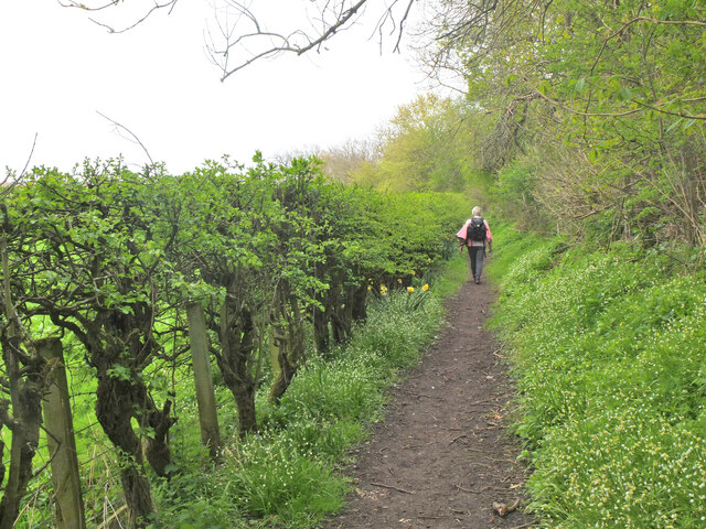
Visitors to Heitonmill Stream can enjoy leisurely walks along the banks, taking in the tranquil atmosphere and observing the various flora and fauna that thrive in this unique environment. The stream's gentle flow and peaceful surroundings make it an idyllic spot for picnicking or simply unwinding amidst nature.
Overall, Heitonmill Stream in Roxburghshire offers a serene and enchanting experience for nature lovers, with its beautiful lake, pool, pond, and freshwater marsh, serving as a thriving habitat for a diverse range of aquatic and terrestrial species.
If you have any feedback on the listing, please let us know in the comments section below.
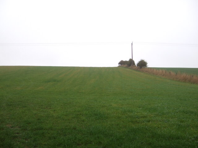
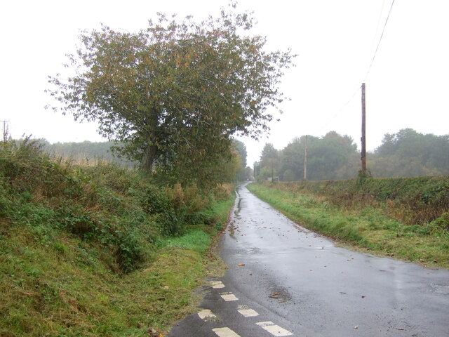
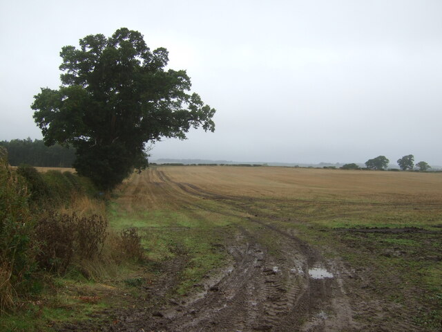
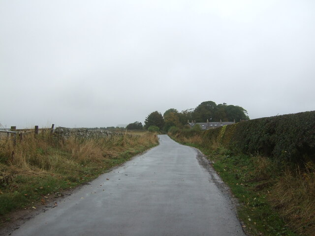
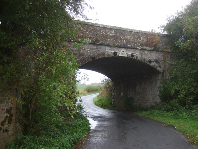
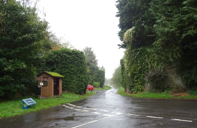
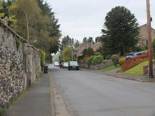
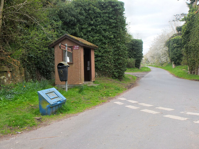
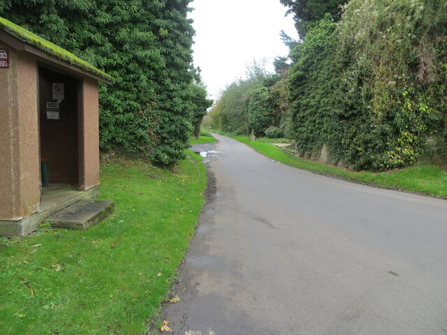
Heitonmill Stream Images
Images are sourced within 2km of 55.578135/-2.4649112 or Grid Reference NT7031. Thanks to Geograph Open Source API. All images are credited.


Heitonmill Stream is located at Grid Ref: NT7031 (Lat: 55.578135, Lng: -2.4649112)
Unitary Authority: The Scottish Borders
Police Authority: The Lothians and Scottish Borders
What 3 Words
///trackers.look.steeped. Near Maxwellheugh, Scottish Borders
Nearby Locations
Related Wikis

Roxburgh (village)
Roxburgh (Gaelic, Rosbrog) is a village off the A699, by the River Teviot, near Kelso in the Scottish Borders area of Scotland. It should not be confused...

Wallace's Tower
Wallace's Tower is a ruined 16th-century L-plan tower house, about 3 miles (4.8 km) south west Kelso, Scottish Borders, Scotland, in Roxburgh, west of...

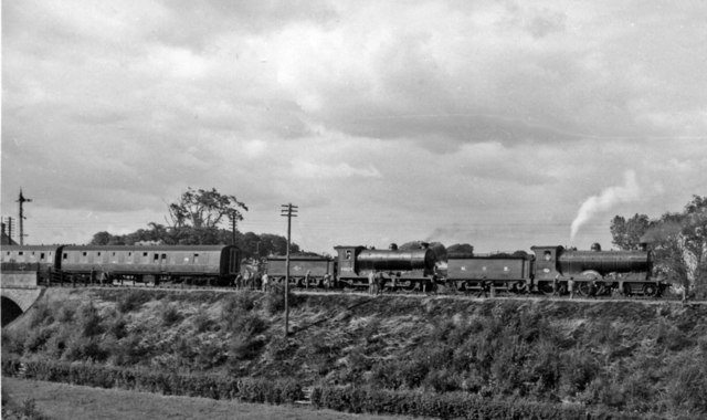
Roxburgh railway station
Roxburgh railway station was on the Kelso Line, and served the village of Roxburgh, Scottish Borders, from 1850 to 1964. == History == The station was...

Capture of Roxburgh (1314)
The Capture of Roxburgh was a siege that took place in 1314, which was a major conflict in the First War of Scottish Independence. This siege was a prelude...
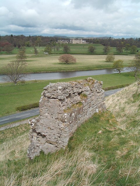
Roxburgh Castle
Roxburgh Castle is a ruined royal castle that overlooks the junction of the rivers Tweed and Teviot, in the Borders region of Scotland. The town and castle...
Roxburgh
Roxburgh () is a civil parish and formerly a royal burgh, in the historic county of Roxburghshire in the Scottish Borders, Scotland. It was an important...
Capture of Roxburgh (1460)
The capture of Roxburgh was a siege that took place during the Anglo-Scottish Wars. James II of Scotland had started a campaign to recapture Roxburgh and...
Kelso railway station
Kelso railway station served the town of Kelso, Scottish Borders, Scotland from 1851 to 1964 on the Kelso Line. == History == The station opened on 27...
Nearby Amenities
Located within 500m of 55.578135,-2.4649112Have you been to Heitonmill Stream?
Leave your review of Heitonmill Stream below (or comments, questions and feedback).