Blackbeast Pot

Lake, Pool, Pond, Freshwater Marsh in Banffshire

Scotland

Blackbeast Pot

Access road to Shielburn and Newton of Fortrie
Access road to Shielburn and Newton of Fortrie Credit: David Purchase

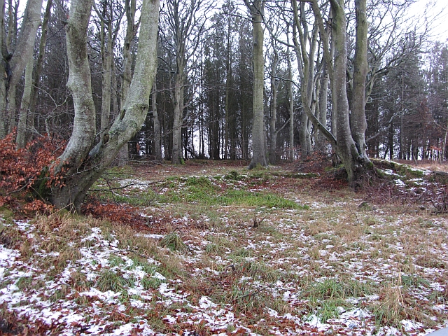
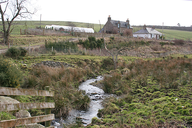
Blackbeast Pot is a picturesque freshwater marsh located in Banffshire, Scotland. Nestled amidst rolling hills and surrounded by lush vegetation, this serene water body offers a tranquil escape for nature enthusiasts and wildlife lovers.

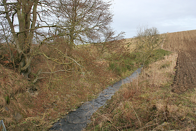
Covering an area of approximately 10 hectares, Blackbeast Pot is a diverse ecosystem that comprises a combination of a lake, pool, pond, and freshwater marsh. The water is primarily sourced from natural springs and rainfall, ensuring a constant flow and a healthy environment for various aquatic organisms.

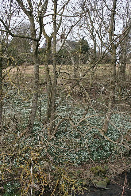
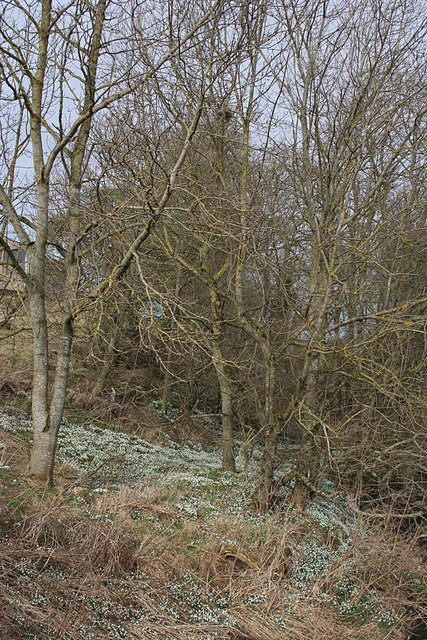
The pot is distinguished by its crystal-clear waters, which are teeming with a wide array of plant and animal species. The marshy areas surrounding the water body are home to a rich variety of flora, including rushes, sedges, and water lilies, creating a vibrant tapestry of colors throughout the year.

The pot serves as a haven for numerous bird species, attracting birdwatchers from far and wide. Visitors can spot a multitude of waterfowl, such as mallards, teals, and gadwalls, gracefully gliding across the surface. With its diverse habitat, the pot also provides a breeding ground for amphibians like frogs and newts, as well as a refuge for dragonflies and damselflies.

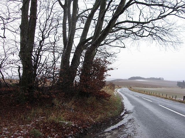
Blackbeast Pot offers a peaceful setting for visitors to appreciate the beauty of nature, whether through leisurely walks along its banks or picnics overlooking the water. The tranquil atmosphere and abundant wildlife make it a popular spot for photographers and nature lovers seeking to immerse themselves in the wonders of Banffshire's natural landscape.

If you have any feedback on the listing, please let us know in the comments section below.

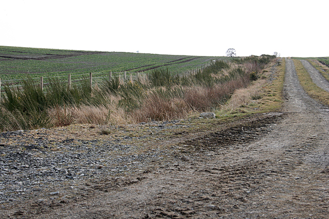
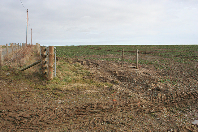
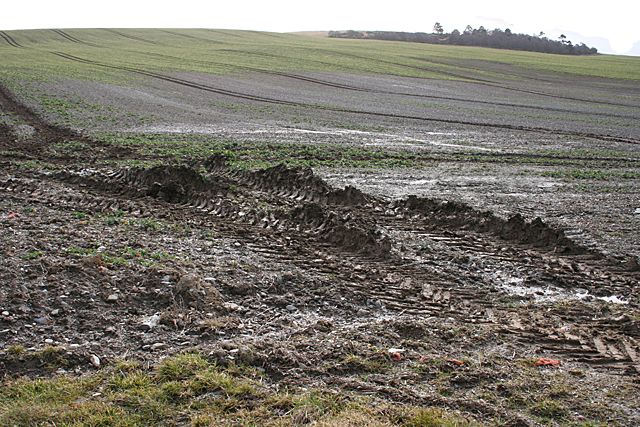
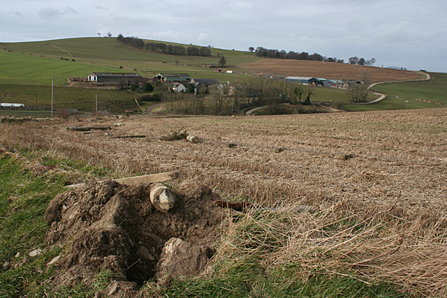
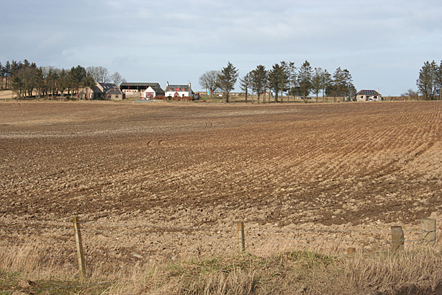
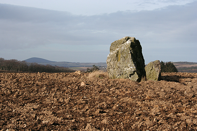
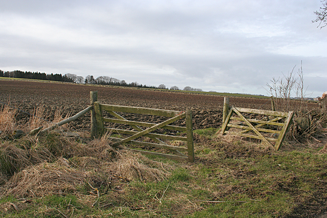
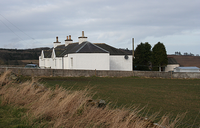
Blackbeast Pot Images

Images are sourced within 2km of 57.515971/-2.5565901 or Grid Reference NJ6647. Thanks to Geograph Open Source API. All images are credited.

Access road to Shielburn and Newton of Fortrie
Postie's Wood Beeches caught with a long exposure in the morning gloom. This was the day before the Winter Solstice and daylight is short this far north.
Postie's Wood
Beeches caught with a long exposure in the morning gloom. This was the day before the Winter Solstice and daylight is short this far north.
B9024, Postie's Wood A grey dawn on the Huntly to Turriff road where it leaves Postie's Wood.
B9024, Postie's Wood
A grey dawn on the Huntly to Turriff road where it leaves Postie's Wood.
Burn of Auchininna Looking downstream from the bridge at South Aunchininna.
Burn of Auchininna
Looking downstream from the bridge at South Aunchininna.
Snowdrops at South Auchininna There is a large swathe of snowdrops on the bank of the Burn of Auchininna.
Snowdrops at South Auchininna
There is a large swathe of snowdrops on the bank of the Burn of Auchininna.
Cottages at South Auchininna Cottages with polytunnels beside the Burn of Auchininna.
Cottages at South Auchininna
Cottages with polytunnels beside the Burn of Auchininna.
Snowdrops in Woodland A fine display of snowdrops in the woods at South Auchininna.
Snowdrops in Woodland
A fine display of snowdrops in the woods at South Auchininna.
South Auchininna The farm buildings stand above the road where it crosses the Burn of Auchininna.
South Auchininna
The farm buildings stand above the road where it crosses the Burn of Auchininna.
Woodland near Ardfour This square is almost all open fields, with just a couple of blocks of forest.
Woodland near Ardfour
This square is almost all open fields, with just a couple of blocks of forest.
Drainage Ditch A wide road, not shown on the maps, parallels the ditch.
Drainage Ditch
A wide road, not shown on the maps, parallels the ditch.
Farmland above Auchininna The fences shown on the 1:25,000 map have been removed to create a single field covering almost all of this square.
Farmland above Auchininna
The fences shown on the 1:25,000 map have been removed to create a single field covering almost all of this square.
Muddy Ruts Heavy farm machinery has created deep wet muddy ruts at the field entrance. In the distance is Gouldrie Wood.
Muddy Ruts
Heavy farm machinery has created deep wet muddy ruts at the field entrance. In the distance is Gouldrie Wood.
Auchininna The fences around the stubble field have apparently been dug up. In the middle distance are South Auchininna, on the left, and North Auchininna, on the right.
Auchininna
The fences around the stubble field have apparently been dug up. In the middle distance are South Auchininna, on the left, and North Auchininna, on the right.
Backhill of Drachlaw The foreground is in this square, but the farm buildings are in the next square.
Backhill of Drachlaw
The foreground is in this square, but the farm buildings are in the next square.
Carlin Stone Named on the maps as the Carlin Stone, it is also known as Cairn Rib, Cairn Riv, and Cairn Rieve. It is a remnant of a stone circle, thought by some authorities to be a recumbent. For a full description see <span class="nowrap"><a title="http://canmore.rcahms.gov.uk/en/site/18323/details/cairn+riv/" rel="nofollow ugc noopener" href="http://canmore.rcahms.gov.uk/en/site/18323/details/cairn+riv/">Link</a><img style="margin-left:2px;" alt="External link" title="External link - shift click to open in new window" src="https://s1.geograph.org.uk/img/external.png" width="10" height="10"/></span>
Carlin Stone
Named on the maps as the Carlin Stone, it is also known as Cairn Rib, Cairn Riv, and Cairn Rieve. It is a remnant of a stone circle, thought by some authorities to be a recumbent. For a full description see LinkExternal link
Gates at Laithers A double gate into a field beside the road to Mains of Laithers.
Gates at Laithers
A double gate into a field beside the road to Mains of Laithers.
Cottages near Mains of Laithers A pair of whitewashed cottages beside the road to Mains of Laithers.
Cottages near Mains of Laithers
A pair of whitewashed cottages beside the road to Mains of Laithers.
Looking towards Hill of Laithers The standing stone part way up the field is in the next square.
Looking towards Hill of Laithers
The standing stone part way up the field is in the next square.
Show me another place!

Blackbeast Pot is located at Grid Ref: NJ6647 (Lat: 57.515971, Lng: -2.5565901)

Unitary Authority: Aberdeenshire

Police Authority: North East

What 3 Words

///dress.candles.crumbles. Near Turriff, Aberdeenshire

Related Wikis

Bogton

Bogton is a rural area in Aberdeenshire, Scotland. To the south is Whitehill Wood and megalithic circle. == References ==

Whitehill Wood, Aberdeenshire

Whitehill Wood is a wood and megalithic stone circle in Aberdeenshire, Scotland, located off the B9025 road between Aberchirder and Turriff and between...

Dorlaithers Castle

Dorlaithers Castle was a castle about 2.5 miles (4.0 km) south-west of Turriff, Aberdeenshire, Scotland at Dorlaithers, south of the burn of Gask. It may...

Inverkeithny

Inverkeithny is a village in the Formartine area of Aberdeenshire, Scotland. The village lies near where the Burn of Forgue flows into the River Deveron...

Nearby Amenities

Located within 500m of 57.515971,-2.5565901
Power: pole
Lat/Long: 57.5156737/-2.564137
Power: pole
Lat/Long: 57.5155003/-2.5627338
Power: pole
Lat/Long: 57.5153602/-2.5613557
Power: pole
Lat/Long: 57.51522/-2.560053
Power: pole
Lat/Long: 57.5123865/-2.5524871
Power: pole
Lat/Long: 57.5128755/-2.5532235
Power: pole
Lat/Long: 57.5135357/-2.5541783
Power: pole
Lat/Long: 57.5138596/-2.5552007
Power: pole
Lat/Long: 57.5141783/-2.5562386
Power: pole
Lat/Long: 57.5145583/-2.5574312
The data included in this document is from www.openstreetmap.org. The data is made available under ODbL.

Have you been to Blackbeast Pot?

Leave your review of Blackbeast Pot below (or comments, questions and feedback).