Mill Leat

Lake, Pool, Pond, Freshwater Marsh in Dorset

England

Mill Leat

Old Pucksey Brook Railway Bridge Bridge on the disused Abbotsbury railway.
Old Pucksey Brook Railway Bridge Credit: Thomas McCabe

Mill Leat is a picturesque freshwater marsh located in Dorset, England. Situated amidst the stunning countryside, it serves as a tranquil oasis for both locals and tourists seeking a peaceful retreat. Spanning an area of approximately 5 acres, Mill Leat is characterized by its serene lake, pool, and pond.

The lake, with its crystal-clear waters, is the main highlight of Mill Leat. Surrounded by lush greenery and gently sloping banks, it offers a perfect spot for fishing enthusiasts. The lake is home to a variety of fish species, including carp, tench, and roach, making it a popular destination for angling.

Adjacent to the lake is a sizeable pool, which serves as a natural habitat for a diverse range of aquatic plants and creatures. The pool is teeming with life, boasting an abundance of water lilies, rushes, and reeds. It provides a safe haven for various bird species, such as ducks, moorhens, and herons, which can often be spotted gracefully gliding across the water.

Connected to the lake and pool is a smaller pond, adding to the charm of Mill Leat. This tranquil body of water is a haven for amphibians, including frogs and newts, which thrive in its shallow depths. It is also a favorite spot for dragonflies, which flit and hover above the water's surface.

Overall, Mill Leat is a haven for nature enthusiasts, offering a unique blend of natural beauty and wildlife. With its pristine lake, pool, and pond, it provides a refreshing escape from the hustle and bustle of daily life, allowing visitors to immerse themselves in the tranquility of the English countryside.

If you have any feedback on the listing, please let us know in the comments section below.
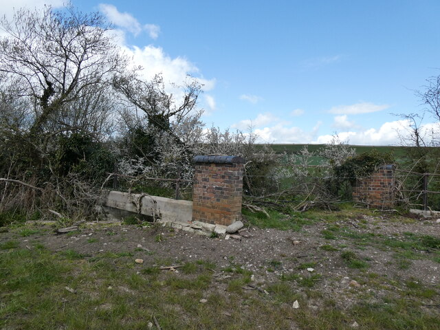
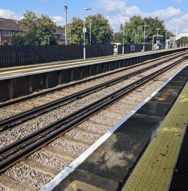
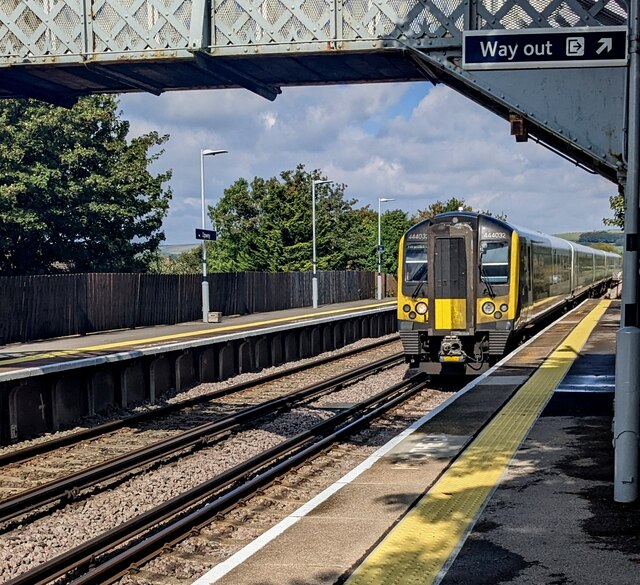
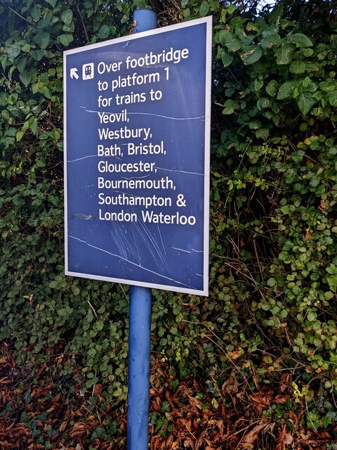
Mill Leat Images

Images are sourced within 2km of 50.64965/-2.4717388 or Grid Reference SY6683. Thanks to Geograph Open Source API. All images are credited.

Old Pucksey Brook Railway Bridge Bridge on the disused Abbotsbury railway.
Old Pucksey Brook Railway Bridge
Bridge on the disused Abbotsbury railway.
Upwey station
Upwey station
Railway from Upwey towards Dorchester Looking north from Upwey station in Dorset. Next station ahead for GWR trains is Dorchester West on the route to Bristol and Gloucester. Next station ahead for South Western Railway trains is Dorchester South on the route to London Waterloo.
Railway from Upwey towards Dorchester
Looking north from Upwey station in Dorset. Next station ahead for GWR trains is Dorchester West on the route to Bristol and Gloucester. Next station ahead for South Western Railway trains is Dorchester South on the route to London Waterloo.
Signs at the northern end of Upwey station, Dorset Facing platform 1.
Signs at the northern end of Upwey station, Dorset
Facing platform 1.
Railway from Upwey towards Weymouth Looking south from Upwey station platform 2. Passenger trains stopping at Upwey  are operated by South Western Railway and GWR in September 2022.
Railway from Upwey towards Weymouth
Looking south from Upwey station platform 2. Passenger trains stopping at Upwey are operated by South Western Railway and GWR in September 2022.
North along platform 2, Upwey station, Dorset Platform 2 is for trains to Weymouth.
North along platform 2, Upwey station, Dorset
Platform 2 is for trains to Weymouth.
Upwey station platform 1, Dorset Viewed from platform 2. Platform 1 is for GWR trains to Bristol and Gloucester via Dorchester West station and South Western Railway trains to London Waterloo via Dorchester South station.
Upwey station platform 1, Dorset
Viewed from platform 2. Platform 1 is for GWR trains to Bristol and Gloucester via Dorchester West station and South Western Railway trains to London Waterloo via Dorchester South station.
Upwey station exit, Dorset From platform 1.
Upwey station exit, Dorset
From platform 1.
Line closures banner, Upwey station, Dorset Text on the banner on platform 1 on September 23rd 2022 includes "Line closures from Yeovil to Weymouth Saturday 24 - Friday 30 September" (for line engineering work) and "Buses will replace trains".
Line closures banner, Upwey station, Dorset
Text on the banner on platform 1 on September 23rd 2022 includes "Line closures from Yeovil to Weymouth Saturday 24 - Friday 30 September" (for line engineering work) and "Buses will replace trains".
Shelter on platform 2, Upwey station Located near the station footbridge. Platform 2 is for trains to Weymouth.
Shelter on platform 2, Upwey station
Located near the station footbridge. Platform 2 is for trains to Weymouth.
Steps up to Upwey station footbridge, Dorset From platform 2 to the footbridge to platform 1 and the station exit. There is no steps-free access to the station exit from platform 2 in September 2022.
Steps up to Upwey station footbridge, Dorset
From platform 2 to the footbridge to platform 1 and the station exit. There is no steps-free access to the station exit from platform 2 in September 2022.
444032 for Weymouth at Upwey, Dorset South Western Railway Class 444 5-coach electric multiple unit from London Waterloo to Weymouth viewed from Upwey station platform 2 in September 2022.
444032 for Weymouth at Upwey, Dorset
South Western Railway Class 444 5-coach electric multiple unit from London Waterloo to Weymouth viewed from Upwey station platform 2 in September 2022.
Platform 1 information on platform 2, Upwey station  Located here <a title="https://www.geograph.org.uk/photo/7295698" href="https://www.geograph.org.uk/photo/7295698">Link</a> near the station footbridge.
Platform 1 information on platform 2, Upwey station
Located here Link near the station footbridge.
Oval identifier on Upwey station footbridge, Dorset The identifier at the top of the steps here <a title="https://www.geograph.org.uk/photo/7295698" href="https://www.geograph.org.uk/photo/7295698">Link</a> shows

BML3 
E30 / 225
166m 30ch

166m 30ch indicates 166 miles 30 chains from London Paddington station (via the Heart of Wessex Line).
Oval identifier on Upwey station footbridge, Dorset
The identifier at the top of the steps here Link shows BML3 E30 / 225 166m 30ch 166m 30ch indicates 166 miles 30 chains from London Paddington station (via the Heart of Wessex Line).
South through Upwey station, Dorset Viewed from the station footbridge. <a title="https://www.geograph.org.uk/photo/6205950" href="https://www.geograph.org.uk/photo/6205950">Link</a> The next (and only) station ahead is the terminus at Weymouth.
South through Upwey station, Dorset
Viewed from the station footbridge. Link The next (and only) station ahead is the terminus at Weymouth.
North through Upwey station, Dorset Viewed from the station footbridge. <a title="https://www.geograph.org.uk/photo/6205950" href="https://www.geograph.org.uk/photo/6205950">Link</a> 
Ahead for Dorchester.
North through Upwey station, Dorset
Viewed from the station footbridge. Link Ahead for Dorchester.
Upwey station name sign, Dorset One of several name signs on the two-platform station, this one is on platform 2 between an Assisted Boarding Point sign and the station footbridge.
Upwey station name sign, Dorset
One of several name signs on the two-platform station, this one is on platform 2 between an Assisted Boarding Point sign and the station footbridge.
Old-style station name sign, Upwey, Dorset The sign on platform 2 is larger than nearby modern 
name signs such as the one on the far left, or this one. <a title="https://www.geograph.org.uk/photo/7296619" href="https://www.geograph.org.uk/photo/7296619">Link</a>
Old-style station name sign, Upwey, Dorset
The sign on platform 2 is larger than nearby modern name signs such as the one on the far left, or this one. Link
Show me another place!

Mill Leat is located at Grid Ref: SY6683 (Lat: 50.64965, Lng: -2.4717388)

Unitary Authority: Dorset

Police Authority: Dorset

What 3 Words

///animate.permanent.options. Near Overcombe, Dorset

Nearby Locations

Broadwey Mill Leat

Related Wikis

Broadwey Methodist Church

Broadwey Methodist Church is a Methodist church in Broadwey, Weymouth, Dorset, England. It was built in 1928 and was active as part of the Dorset South...

St Nicholas' Church, Broadwey

St Nicholas' Church is a Church of England church in Broadwey, Dorset, England. It has Norman origins, but most of the existing church dates from 19th...

Upwey railway station (Abbotsbury Railway)

Upwey was a railway station on the Abbotsbury branch railway in the county of Dorset in England. == History == The station was opened as Broadway on 9...

Broadwey

Broadwey was a former village in the northern suburbs of Weymouth, Dorset, England. It lies on the B3159 road. In 2001, Broadwey and Upwey ward had a...

Nearby Amenities

Located within 500m of 50.64965,-2.4717388
Upwey
Naptan AtcoCode: 9100UPWEY
Network: National Rail
Network Website: https://www.nationalrail.co.uk/stations/upw/
Network Wikidata: Q26334
Old Name: Upwey Junction
Public Transport: station
Railway: station
Ref Crs: UPW
Source: NPE
Train: yes
Wikidata: Q2522736
Wikipedia: en:Upwey railway station (England)
Lat/Long: 50.6485094/-2.466093
Power: tower
Ref: 4VN 14
Source Ref: interpolation
Lat/Long: 50.6462428/-2.4676797
Barrier: yes
Lat/Long: 50.6509706/-2.4720744
Turning Loop
Lat/Long: 50.6533555/-2.4690465
Barrier: yes
Lat/Long: 50.6513176/-2.4731442
Broadwey
Is In: Dorset, England, UK
Place: suburb
Source: NPE
Wikidata: Q4972568
Lat/Long: 50.6503027/-2.4701843
Mini Roundabout
Lat/Long: 50.651385/-2.4704655
Power: tower
Ref: 4VN 13
Source Ref: interpolation
Lat/Long: 50.6465242/-2.4705386
Power: tower
Ref: 4VN 12
Source Ref: interpolation
Lat/Long: 50.6469504/-2.4760111
Parking
Access: customers
Fee: no
Operator: South West Trains
Park Ride: no
Parking: surface
Supervised: no
Surface: asphalt
Lat/Long: 50.6481561/-2.4661795
Barrier: bollard
Lat/Long: 50.6520814/-2.4677416
Barrier: yes
Lat/Long: 50.6476554/-2.4691739
Turning Circle
Lat/Long: 50.6456206/-2.4726965
Upwey
Public Transport: stop_position
Railway: stop
Train: yes
Lat/Long: 50.6484157/-2.4661129
Upwey
Public Transport: stop_position
Railway: stop
Train: yes
Lat/Long: 50.6484182/-2.4660698
Upwey
Historic Railway: station
Railway: site
Wikidata: Q7899495
Wikipedia: en:Upwey railway station (Abbotsbury Railway)
Lat/Long: 50.6510701/-2.471421
Post Box
Collection Times: Mo-Fr 09:00; Sa 07:00
Operator: Royal Mail
Post Box Type: wall
Ref: DT3 81D
Ref GB Uprn: 10015438161
Royal Cypher: GR
Royal Cypher Wikidata: Q33102273
Source: survey
Survey Date: 2023-01-21
Lat/Long: 50.6491973/-2.4714115
Post Box
Collection Times: Mo-Fr 09:00; Sa 07:00
Operator: Royal Mail
Post Box Type: lamp
Ref: DT3 48D
Ref GB Uprn: 10015355060
Royal Cypher: EIIR
Royal Cypher Wikidata: Q33102113
Source: survey
Survey Date: 2023-01-21
Lat/Long: 50.6474477/-2.4671005
Noexit: yes
Lat/Long: 50.6507862/-2.4670503
Bus Stop
Jestys Avenue
Bus: yes
Naptan AtcoCode: 1200DOB20743
Naptan Bearing: E
Naptan CommonName: Jestys Avenue
Naptan Indicator: E-bound
Naptan NaptanCode: dorajawg
Naptan PlusbusZoneRef: WEYMTH
Naptan Street: Littlemoor Road
Naptan Verified: no
Public Transport: platform
Lat/Long: 50.6516227/-2.4683622
Bus Stop
Methodist Church
Bus: yes
Naptan AtcoCode: 1200DOB20197
Naptan Bearing: N
Naptan CommonName: Methodist Church
Naptan Indicator: N-bound
Naptan NaptanCode: dorajadt
Naptan PlusbusZoneRef: WEYMTH
Naptan Verified: no
Public Transport: platform
Lat/Long: 50.648724/-2.4716082
Bus Stop
Jestys Avenue
Bus: yes
Naptan AtcoCode: 1200DOB20744
Naptan Bearing: W
Naptan CommonName: Jestys Avenue
Naptan Indicator: opp
Naptan NaptanCode: dorajatp
Naptan PlusbusZoneRef: WEYMTH
Naptan Street: Littlemoor Road
Naptan Verified: no
Public Transport: platform
Lat/Long: 50.6514734/-2.4688737
Bus Stop
Methodist Church
Bus: yes
Naptan AtcoCode: 1200DOB20223
Naptan Bearing: S
Naptan CommonName: Methodist Church
Naptan Indicator: S-bound
Naptan NaptanCode: dorajagw
Naptan PlusbusZoneRef: WEYMTH
Naptan Street: Dorchester Road
Naptan Verified: no
Public Transport: platform
Lat/Long: 50.6493559/-2.4711187
Bus Stop
Shops
Bench: no
Bus: yes
Check Date: 2024-01-10
Departures Board: realtime
Naptan AtcoCode: 1200DOB20198
Naptan Bearing: N
Naptan CommonName: Shops
Naptan Indicator: N-bound
Naptan NaptanCode: dorajapa
Naptan PlusbusZoneRef: WEYMTH
Naptan Street: Dorchester Road
Naptan Verified: yes
Network: Wessex (First Bus)
Public Transport: platform
Route Ref: 10
Shelter: no
Source: survey;NaPTAN
Lat/Long: 50.6530035/-2.4702083
Bus Stop
Shops
Bench: no
Bus: yes
Check Date: 2024-01-10
Departures Board: timetable
Naptan AtcoCode: 1200DOB20222
Naptan Bearing: S
Naptan CommonName: Shops
Naptan Indicator: S-bound
Naptan NaptanCode: dorajapj
Naptan PlusbusZoneRef: WEYMTH
Naptan Street: Dorchester Road
Naptan Verified: yes
Network: Wessex (First Bus)
Public Transport: platform
Route Ref: 10
Shelter: no
Source: survey;NaPTAN
Lat/Long: 50.6531845/-2.4700097
The data included in this document is from www.openstreetmap.org. The data is made available under ODbL.

Have you been to Mill Leat?

Leave your review of Mill Leat below (or comments, questions and feedback).