Drachlaw Ford
Lake, Pool, Pond, Freshwater Marsh in Banffshire
Scotland
Drachlaw Ford
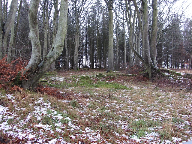
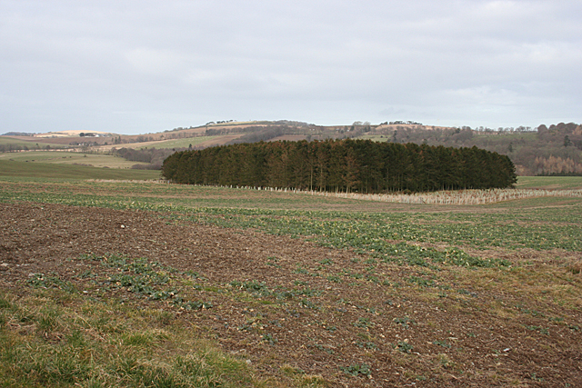
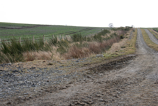
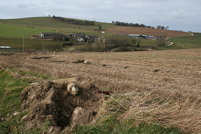
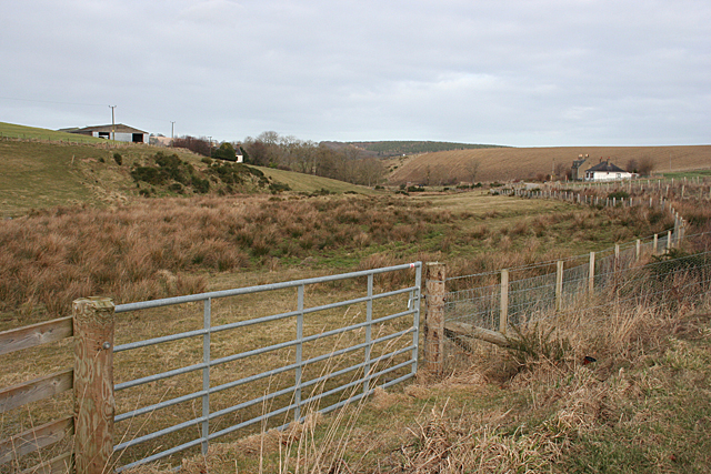
Drachlaw Ford is a picturesque freshwater ecosystem located in Banffshire, Scotland. Nestled amidst the enchanting Scottish Highlands, this natural gem offers a variety of aquatic habitats, including a lake, pool, pond, and freshwater marsh.
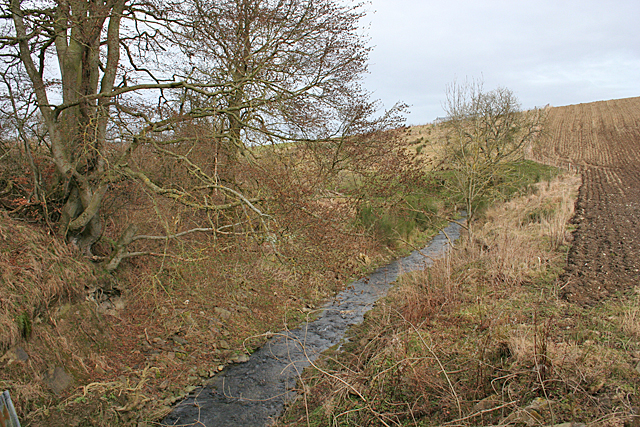
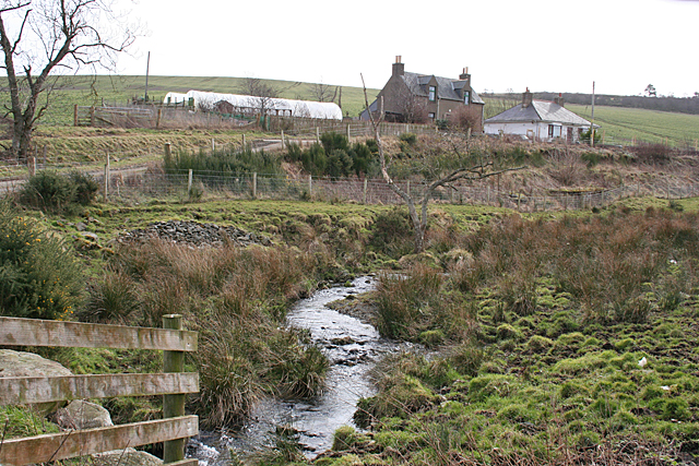
The central feature of Drachlaw Ford is its pristine lake, which spans a considerable area, providing a serene and tranquil setting. The lake is fed by several small streams that meander through the surrounding hills, ensuring a constant flow of fresh water. It serves as a vital water source for the diverse range of flora and fauna that call this place home.
Adjacent to the lake, a pool can be found, which is a smaller, shallow body of water. This pool is often teeming with aquatic plants, such as lilies and reeds, creating a vibrant and colorful environment. It serves as a breeding ground for various species of fish and amphibians, adding to the ecological richness of Drachlaw Ford.
In addition to the lake and pool, there is also a smaller pond within the area. This pond is characterized by its still, mirror-like surface, reflecting the surrounding landscape. It provides a distinct habitat for different species of waterfowl, including ducks and geese, which are frequently spotted gliding across its calm waters.
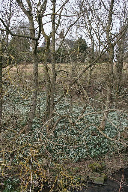
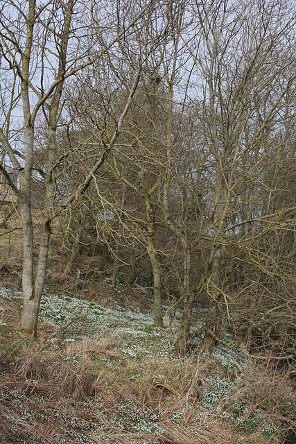
Lastly, Drachlaw Ford boasts a beautiful freshwater marsh, characterized by its saturated soil and abundant vegetation. This marsh provides a crucial habitat for numerous plant and animal species, including water-loving plants like cattails and bulrushes, as well as a variety of bird species.
Overall, Drachlaw Ford is a remarkable natural area, showcasing a diverse range of freshwater habitats. Its lake, pool, pond, and freshwater marsh collectively contribute to the ecological diversity and scenic beauty of this enchanting Banffshire location.
If you have any feedback on the listing, please let us know in the comments section below.
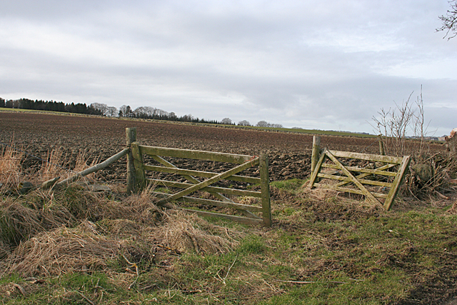
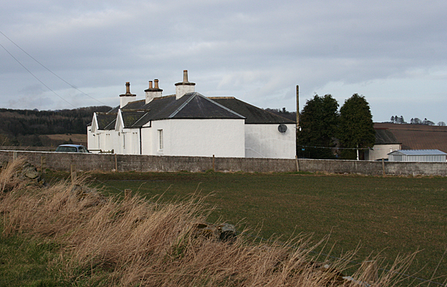
Drachlaw Ford Images
Images are sourced within 2km of 57.51688/-2.5621796 or Grid Reference NJ6647. Thanks to Geograph Open Source API. All images are credited.
Drachlaw Ford is located at Grid Ref: NJ6647 (Lat: 57.51688, Lng: -2.5621796)
Unitary Authority: Aberdeenshire
Police Authority: North East
What 3 Words
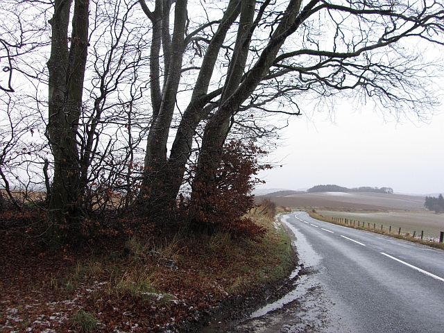
///commander.mutual.phones. Near Aberchirder, Aberdeenshire
Nearby Locations
Related Wikis

Bogton
Bogton is a rural area in Aberdeenshire, Scotland. To the south is Whitehill Wood and megalithic circle. == References ==

Whitehill Wood, Aberdeenshire
Whitehill Wood is a wood and megalithic stone circle in Aberdeenshire, Scotland, located off the B9025 road between Aberchirder and Turriff and between...

Inverkeithny
Inverkeithny is a village in the Formartine area of Aberdeenshire, Scotland. The village lies near where the Burn of Forgue flows into the River Deveron...

Dorlaithers Castle
Dorlaithers Castle was a castle about 2.5 miles (4.0 km) south-west of Turriff, Aberdeenshire, Scotland at Dorlaithers, south of the burn of Gask. It may...
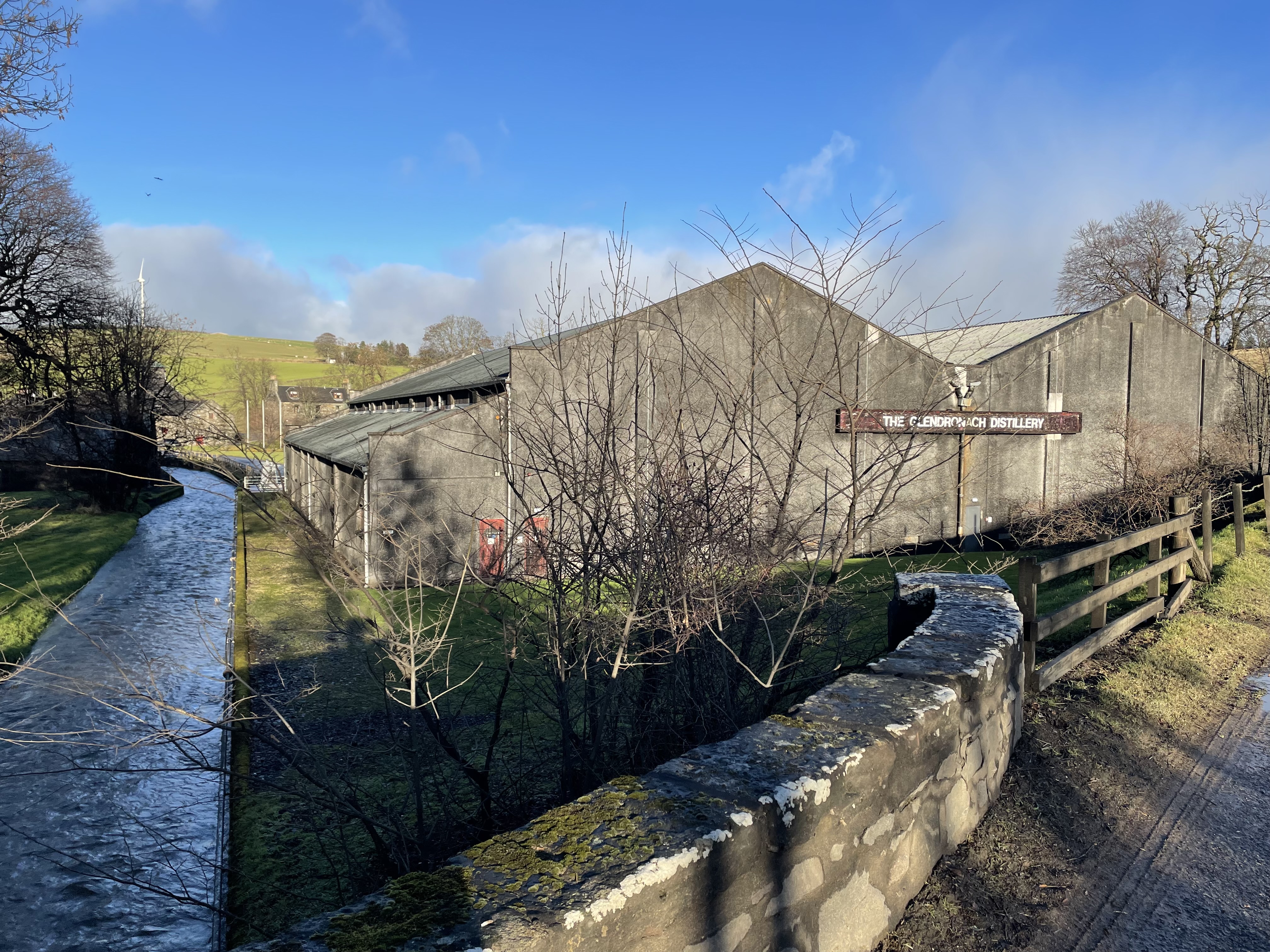
Glendronach distillery
Glendronach distillery is a Scottish whisky distillery located near Forgue, by Huntly, Aberdeenshire, in the Highland whisky district. It was owned by...
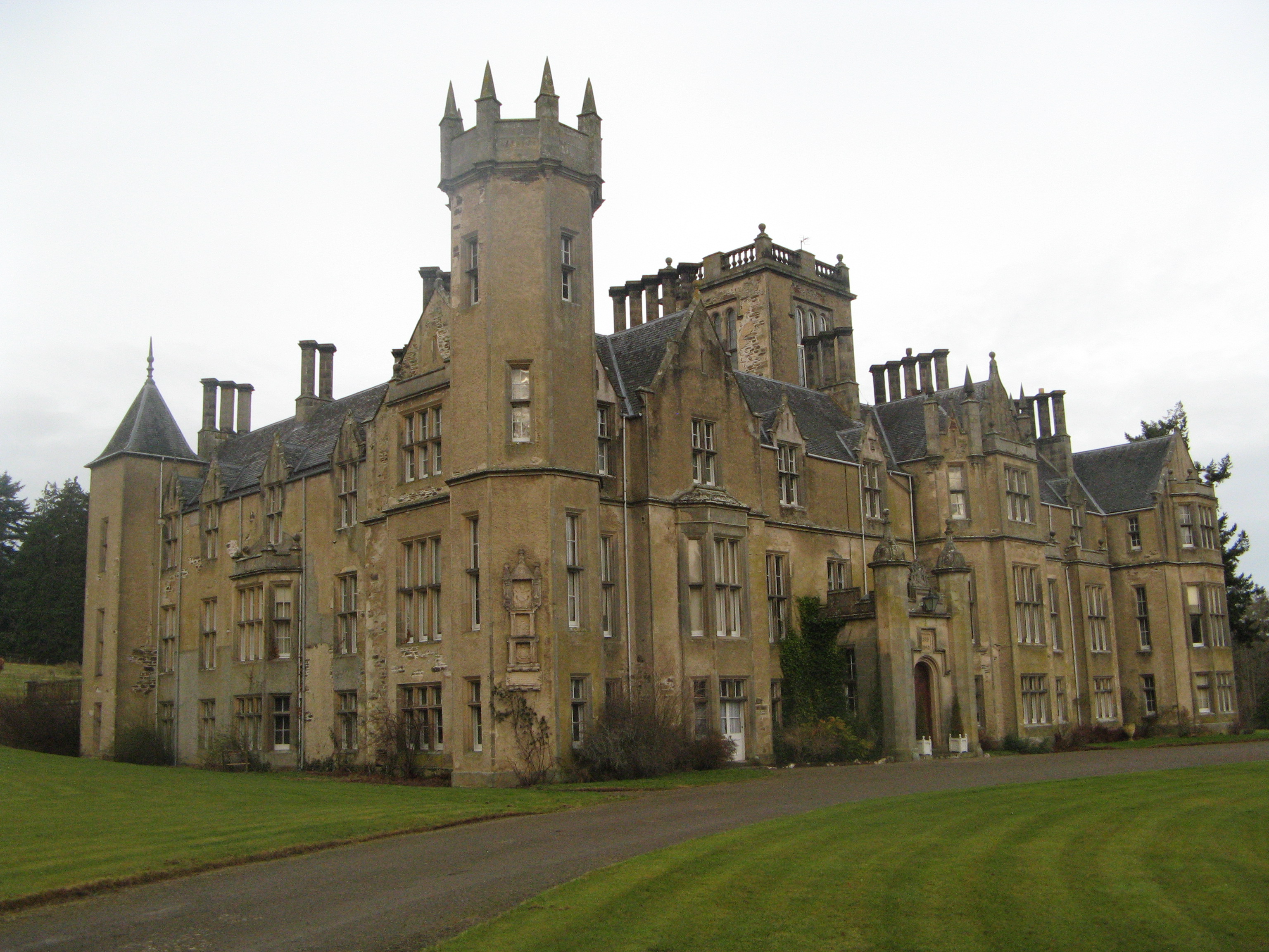
Forglen House
Forglen House is a mansion house that forms the centrepiece of the Forglen estate in the parish of Forglen, north-west of Turriff, Aberdeenshire, in the...
Turriff United F.C.
Turriff United Football Club are a senior football club currently playing in the Highland Football League in Scotland. They play their matches at The Haughs...

Aberchirder
Aberchirder (Scots: Fogieloan, Scottish Gaelic: Obar Chiardair) known locally as Foggieloan or Foggie, is a village in Aberdeenshire, Scotland, situated...
Nearby Amenities
Located within 500m of 57.51688,-2.5621796Have you been to Drachlaw Ford?
Leave your review of Drachlaw Ford below (or comments, questions and feedback).