Fisherford Reservoir

Lake, Pool, Pond, Freshwater Marsh in Aberdeenshire

Scotland

Fisherford Reservoir

Cowley Cowley consists of a very large expanse of buildings that completely dwarf the traditional farm house. It is the base of a construction company, Rapid Project Development Ltd.
Cowley Credit: Anne Burgess

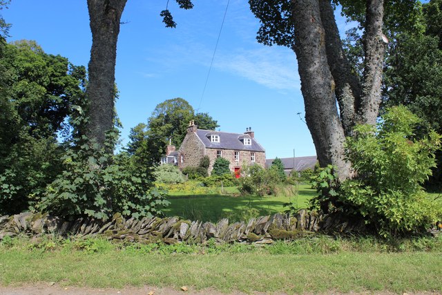
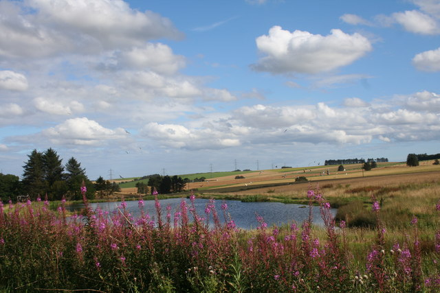
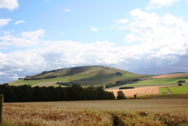
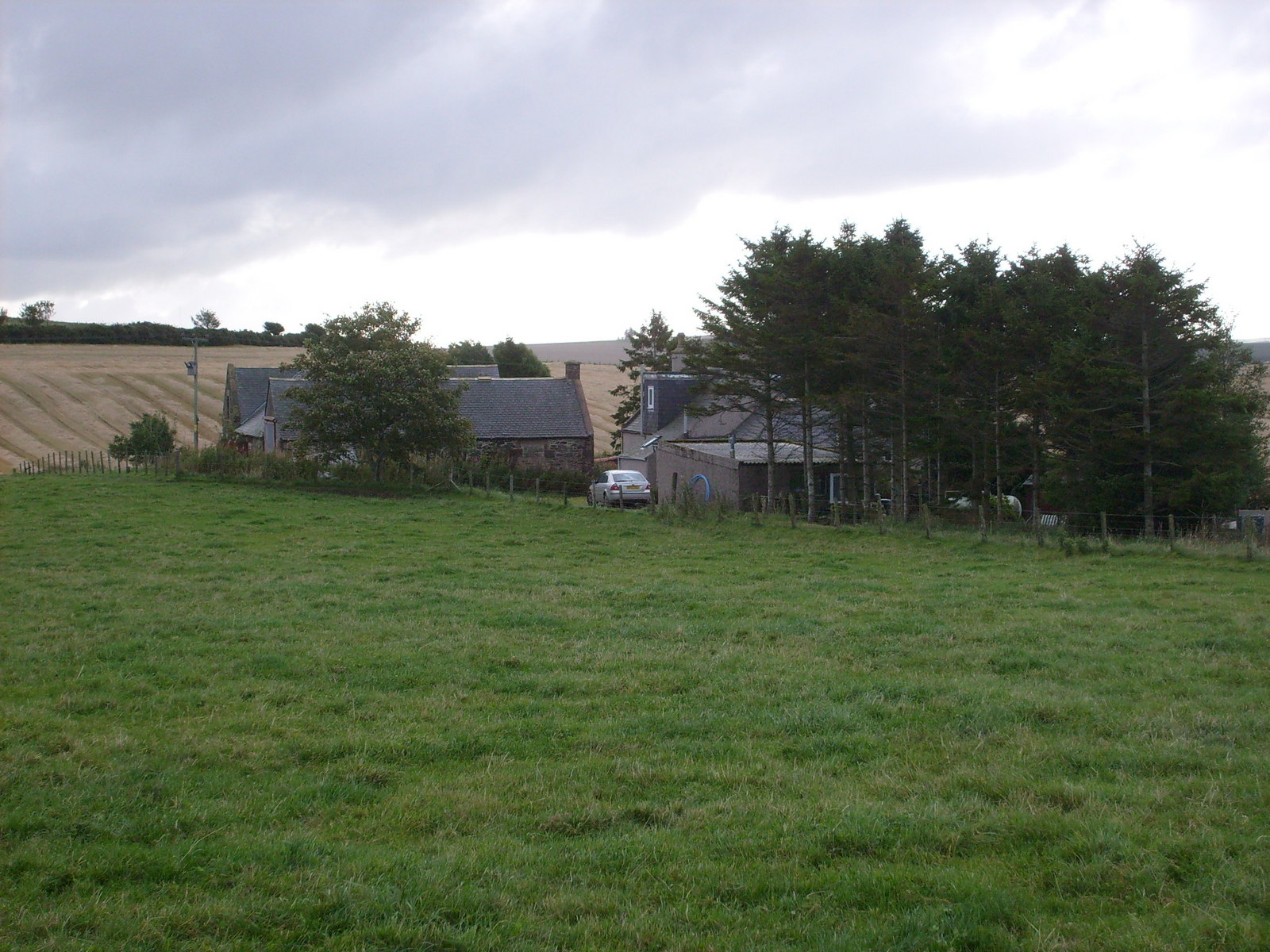
Fisherford Reservoir, located in Aberdeenshire, Scotland, is a picturesque freshwater body known for its serene beauty and diverse ecosystem. Spanning an area of approximately 150 acres, it serves as an important water source for the surrounding region. Fisherford Reservoir is situated amidst rolling hills and lush greenery, offering visitors a tranquil retreat away from the bustling city life.

The reservoir is classified as a man-made lake, created by the construction of a dam across the River Don. It was built in the late 19th century to meet the increasing demand for water supply in the area. The deep and expansive water body is surrounded by a mix of woodland, grassland, and wetland areas, providing a rich habitat for numerous species of flora and fauna.

The reservoir serves as a haven for a variety of bird species, making it a popular spot for birdwatching enthusiasts. Visitors can often spot waterfowl, such as ducks, geese, and swans, as well as wading birds like herons and oystercatchers. The abundance of aquatic vegetation also attracts a range of fish species, including pike, perch, and roach, making it a favored destination for anglers.

Fisherford Reservoir offers recreational opportunities for locals and tourists alike. Fishing is a popular activity, with permits available for purchase. Additionally, the tranquil surroundings make it an ideal location for picnicking, walking, and photography. The reservoir is easily accessible, with parking areas and well-maintained footpaths for visitors to enjoy the natural beauty of the area.

Overall, Fisherford Reservoir is a valuable water source, a haven for wildlife, and a cherished recreational spot, making it an essential part of Aberdeenshire's landscape.

If you have any feedback on the listing, please let us know in the comments section below.

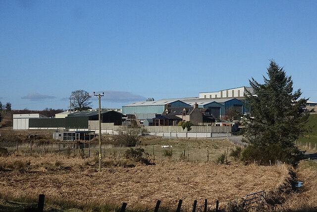
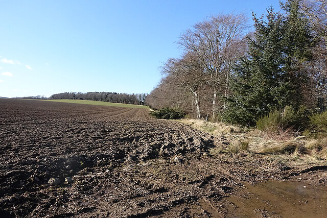
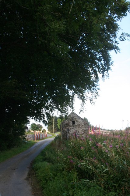
Fisherford Reservoir Images

Images are sourced within 2km of 57.421937/-2.5612059 or Grid Reference NJ6636. Thanks to Geograph Open Source API. All images are credited.

Cowley Cowley consists of a very large expanse of buildings that completely dwarf the traditional farm house. It is the base of a construction company, Rapid Project Development Ltd.
Cowley
Cowley consists of a very large expanse of buildings that completely dwarf the traditional farm house. It is the base of a construction company, Rapid Project Development Ltd.
Field and Forest The forest is in fact a shelter belt along a ridge of higher ground.
Field and Forest
The forest is in fact a shelter belt along a ridge of higher ground.
Storm Damage Yes more evidence of the violence of Storm Arwen. At least I reckon it's Arwen because the trees have fallen to the south, and Arwen was a northerly gale, unlike the later ones which were more westerly.
Storm Damage
Yes more evidence of the violence of Storm Arwen. At least I reckon it's Arwen because the trees have fallen to the south, and Arwen was a northerly gale, unlike the later ones which were more westerly.
Deer fence ladder-stile For another example, see: <a title="https://www.geograph.org.uk/photo/1273878" href="https://www.geograph.org.uk/photo/1273878">Link</a> .
Deer fence ladder-stile
For another example, see: Link .
Tillymorgan Cottage A blocked up and disused cottage by the roadside.
Tillymorgan Cottage
A blocked up and disused cottage by the roadside.
Fisherford School The village primary school at Fisherford.
Fisherford School
The village primary school at Fisherford.
Everton Farm Everton Farm near Fisherford.
Everton Farm
Everton Farm near Fisherford.
Logie Newton Farmhouse A substantial Farmhouse at Logie Newton.
Logie Newton Farmhouse
A substantial Farmhouse at Logie Newton.
Glenmellan Barn An old barn at the hill farm of Glenmellan.
Glenmellan Barn
An old barn at the hill farm of Glenmellan.
Lake by Mellan A small lake or possibly old mill pond by Mellan near Logie Newton.
Lake by Mellan
A small lake or possibly old mill pond by Mellan near Logie Newton.
Braestairie Barley Field A barley crop ripening by Braestairie Farm with the Hill of Tillymorgan behind.
Braestairie Barley Field
A barley crop ripening by Braestairie Farm with the Hill of Tillymorgan behind.
Bales by Everton A baled field by Everton with a view of the Hill of Tillymorgan behind. The line of trees interestingly does not show on the current OS map, online at least, though it does on earlier publications.
Bales by Everton
A baled field by Everton with a view of the Hill of Tillymorgan behind. The line of trees interestingly does not show on the current OS map, online at least, though it does on earlier publications.
Fisherford School The primary school at the small village of Fisherford.
Fisherford School
The primary school at the small village of Fisherford.
Banks of the Ythan The banks of the young River Ythan at Glenmellan.On the top of the bank just out of sight is a Roman Camp.
Banks of the Ythan
The banks of the young River Ythan at Glenmellan.On the top of the bank just out of sight is a Roman Camp.
Tillymorgan Cottage An empty roadside property on Cadger's Road.
Tillymorgan Cottage
An empty roadside property on Cadger's Road.
Road junction near Fisherford
Tillymorgan Cottage
Tillymorgan Cottage
Road junction near Fisherford
Show me another place!

Fisherford Reservoir is located at Grid Ref: NJ6636 (Lat: 57.421937, Lng: -2.5612059)

Unitary Authority: Aberdeenshire

Police Authority: North East

What 3 Words

///steep.blizzard.bullion. Near Rothienorman, Aberdeenshire

Nearby Locations

Fisherford Reservoir

Related Wikis

Ythan Wells

Ythan Wells, also known as Glenmailen, is the site of a Roman military camp, near the farm of Glenmellan, 2.1 kilometres (1.3 mi) east of the village of...

Badenscoth

Badenscoth (Scottish Gaelic: Bad nan Sgoth) is a rural area near Auchterless in Aberdeenshire, Scotland. == References ==

Ythanwells

Ythanwells () is a village in the Marr area of Aberdeenshire, Scotland, lying 10.6 kilometres (6.6 mi) east of Huntly. The village is sometimes known...

Auldyoch

Auldyoch is a farm in Aberdeenshire, Scotland. == References ==

Nearby Amenities

Located within 500m of 57.421937,-2.5612059
Power: pole
Lat/Long: 57.424336/-2.5678139
Power: pole
Lat/Long: 57.4236139/-2.5679619
Power: pole
Lat/Long: 57.4231259/-2.5675999
Power: pole
Lat/Long: 57.4226796/-2.5672697
Power: pole
Lat/Long: 57.4222247/-2.5669304
Power: pole
Lat/Long: 57.4217379/-2.5665683
Power: pole
Lat/Long: 57.4211602/-2.5661438
Power: pole
Lat/Long: 57.4206322/-2.565748
Power: pole
Lat/Long: 57.4201212/-2.5648236
Power: pole
Lat/Long: 57.4197409/-2.5641309
Power: pole
Lat/Long: 57.4193715/-2.563427
Power: pole
Lat/Long: 57.4189319/-2.5626308
Power: pole
Lat/Long: 57.4185032/-2.5618302
Power: pole
Lat/Long: 57.4179533/-2.5608518
Power: pole
Lat/Long: 57.4233846/-2.5687908
Power: pole
Lat/Long: 57.4224785/-2.5660208
Power: pole
Lat/Long: 57.422727/-2.5651039
Power: pole
Lat/Long: 57.422994/-2.5641889
Power: pole
Lat/Long: 57.4237155/-2.5638712
Power: pole
Lat/Long: 57.4242855/-2.5636141
Power: pole
Lat/Long: 57.4244544/-2.5626142
Power: pole
Lat/Long: 57.4246266/-2.5616142
Power: pole
Lat/Long: 57.4247999/-2.5606022
Power: pole
Lat/Long: 57.4249688/-2.5595759
Power: pole
Lat/Long: 57.4255475/-2.5588392
Power: pole
Lat/Long: 57.4261109/-2.5581024
Power: pole
Lat/Long: 57.4228393/-2.563015
Power: pole
Lat/Long: 57.4223641/-2.5622741
The data included in this document is from www.openstreetmap.org. The data is made available under ODbL.

Have you been to Fisherford Reservoir?

Leave your review of Fisherford Reservoir below (or comments, questions and feedback).