Tarnie Loch

Lake, Pool, Pond, Freshwater Marsh in Angus

Scotland

Tarnie Loch

Rossie Stump A tree stump in woodland at Rossie.
Rossie Stump Credit: Andrew Wood

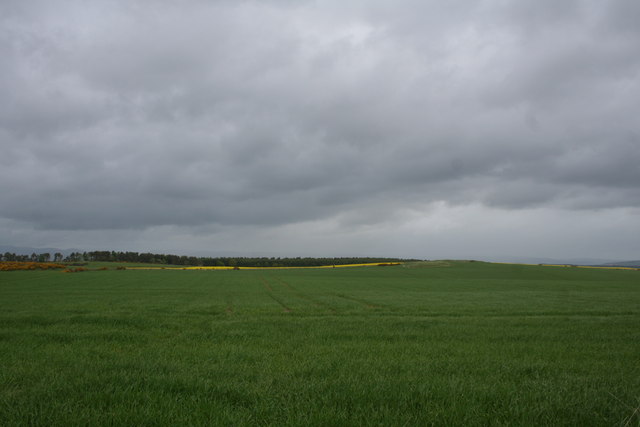
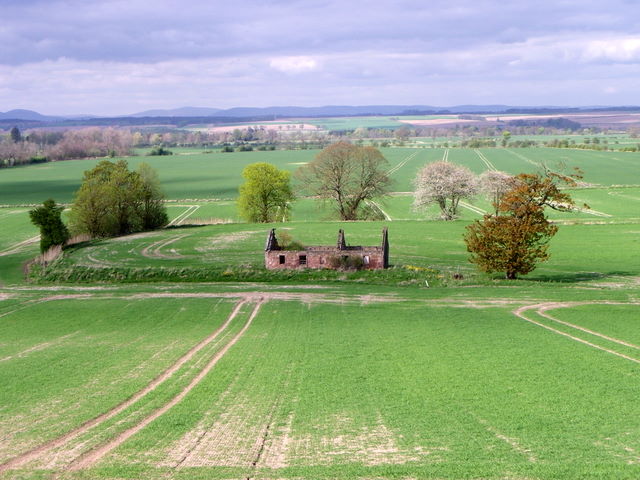
Tarnie Loch, located in Angus, Scotland, is a picturesque freshwater loch nestled within the beautiful countryside. The loch covers an area of approximately 10 acres and is surrounded by lush greenery, making it a serene and tranquil spot for visitors.

Tarnie Loch is known for its crystal-clear waters, which are home to a diverse range of aquatic life. The loch supports a variety of fish species, including brown trout, perch, and pike, making it a popular destination for anglers seeking a peaceful fishing experience. The abundance of fish also attracts a variety of bird species, creating a haven for birdwatchers. Common sightings include grebes, swans, ducks, and various waders.

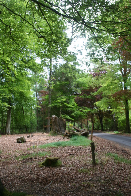
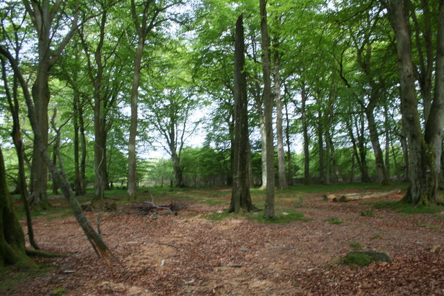
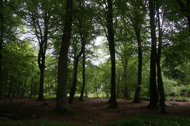
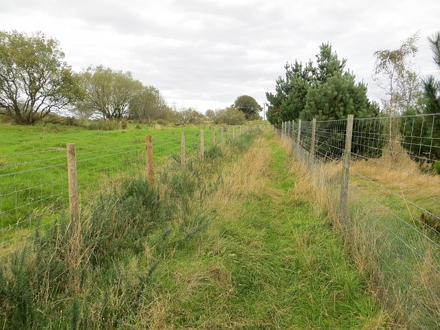
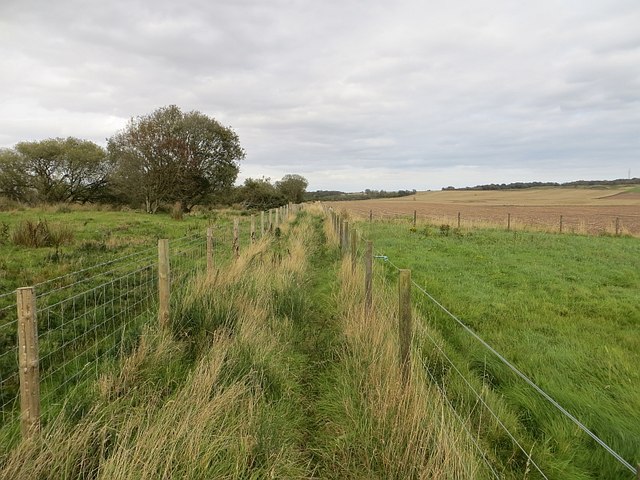
Surrounding the loch is a mix of marshland and woodland, providing a rich habitat for numerous plants and wildlife. The marshes are home to an array of plant species such as reeds, sedges, and water lilies, adding to the loch's natural beauty. The woodland area consists of a mix of native trees, including oak, birch, and willow, providing a habitat for small mammals and birds.

Tarnie Loch offers opportunities for outdoor activities such as walking, picnicking, and wildlife observation. The calm waters of the loch make it ideal for kayaking and canoeing, allowing visitors to explore its hidden corners and enjoy the tranquility of the surrounding landscape.

Overall, Tarnie Loch is a hidden gem in Angus, offering a peaceful retreat for nature lovers, anglers, and those seeking a break from the hustle and bustle of everyday life.

If you have any feedback on the listing, please let us know in the comments section below.
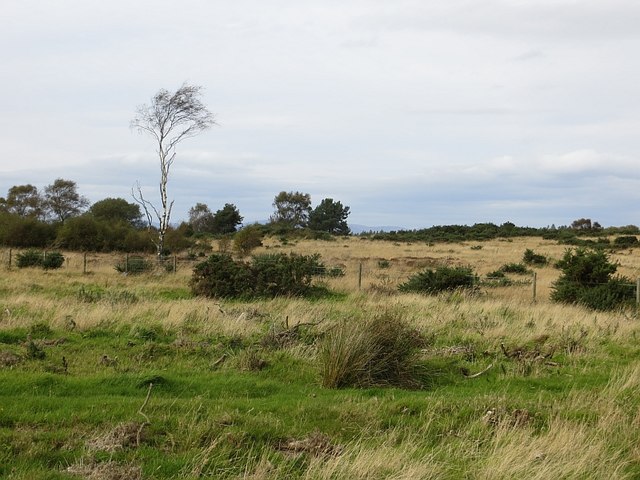
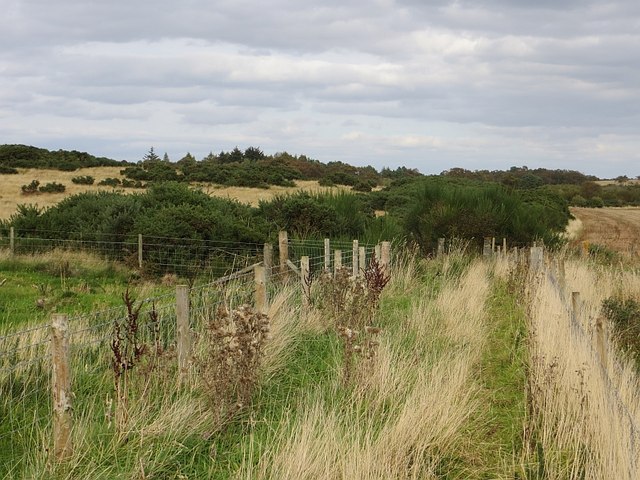
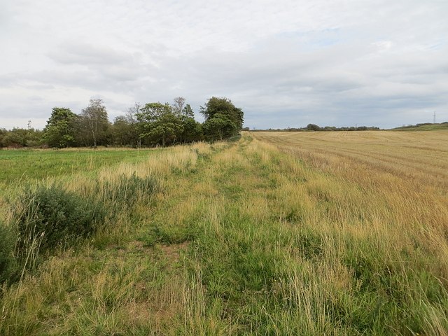
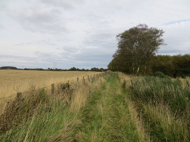
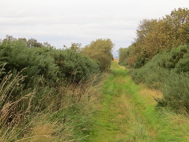
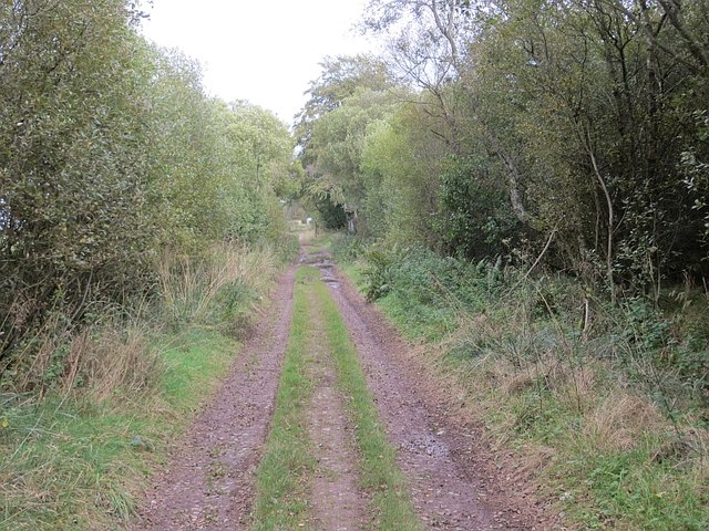
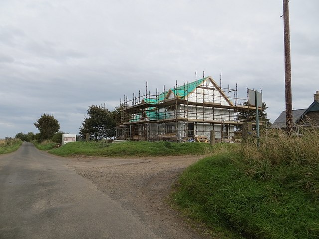
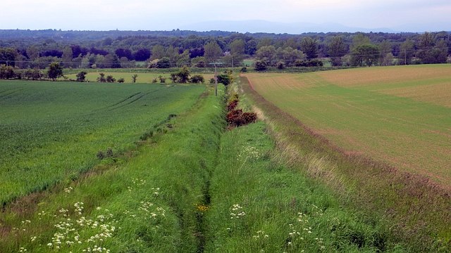
Tarnie Loch Images

Images are sourced within 2km of 56.680398/-2.5674601 or Grid Reference NO6554. Thanks to Geograph Open Source API. All images are credited.

Rossie Stump A tree stump in woodland at Rossie.
Rossie Stump
A tree stump in woodland at Rossie.
Rossie Wood Woodland near Rossie school.
Rossie Wood
Woodland near Rossie school.
Rossie Woodland Mature woodland at Rossie.
Rossie Woodland
Mature woodland at Rossie.
Westerton of Rossie A farm near Montrose.
Westerton of Rossie
A farm near Montrose.
Pitarris Fields Fields by Pitarris Hill looking across to Four Hundred Contour Wood.
Pitarris Fields
Fields by Pitarris Hill looking across to Four Hundred Contour Wood.
Ruin near Bonnyton According to the map, in times past a castle stood on this site, but all that remains now is the ruins of a more modern cottage.
Ruin near Bonnyton
According to the map, in times past a castle stood on this site, but all that remains now is the ruins of a more modern cottage.
Path, Pamphry The western end of the path over Rossie Muir is now fenced in and rough. There is a realistic chance that it will become blocked by whins.  The original track is visible on the left, behind the barbed wire.
Path, Pamphry
The western end of the path over Rossie Muir is now fenced in and rough. There is a realistic chance that it will become blocked by whins. The original track is visible on the left, behind the barbed wire.
Path, Pamphry The western end of the path is now fenced in. It is perfectly usable as long as traffic keeps the whins at bay.
Path, Pamphry
The western end of the path is now fenced in. It is perfectly usable as long as traffic keeps the whins at bay.
Rossie Moor Whins and rough grazing, adjacent to a huge barley field.
Rossie Moor
Whins and rough grazing, adjacent to a huge barley field.
Path, Rossie Muir The eastern end of the annoying fenced in bit of the path. The section of path to the east is rather shut in by broom and gorse. I escaped to the barley stubble on the right.
Path, Rossie Muir
The eastern end of the annoying fenced in bit of the path. The section of path to the east is rather shut in by broom and gorse. I escaped to the barley stubble on the right.
Path, Rossie Moor This section is very different to the path at the western end. No fences here, just a rough track beside a huge arable field.
Path, Rossie Moor
This section is very different to the path at the western end. No fences here, just a rough track beside a huge arable field.
Track, Rossie Moor The eastern end is a bit more defined than the western end of the path. The route is unobstructed at the moment, and you can get through on horseback. However the whins and broom mean business, and the path needs more traffic to keep it open.
Track, Rossie Moor
The eastern end is a bit more defined than the western end of the path. The route is unobstructed at the moment, and you can get through on horseback. However the whins and broom mean business, and the path needs more traffic to keep it open.
Track on Rossie Moor Bonnyton to Rossie track.
Track on Rossie Moor
Bonnyton to Rossie track.
Track, Rossie The road continues to Pamphry or Bonnyton from the public road end at Rossie.
Track, Rossie
The road continues to Pamphry or Bonnyton from the public road end at Rossie.
Woodland, Rossie There are mature beeches here, mixed in with conifers.
Woodland, Rossie
There are mature beeches here, mixed in with conifers.
Westerton of Rossie Looking towards the end of the public (yellow) road from the eastern end of a track/path over Rossie Moor. While threatened by rampant vegetation in places, the path is still easy to use.
Westerton of Rossie
Looking towards the end of the public (yellow) road from the eastern end of a track/path over Rossie Moor. While threatened by rampant vegetation in places, the path is still easy to use.
New house, Westerton of Rossie
Ditch, Carcary Any stock proof boundary has long gone, it's all arable here now. The Caledonian Railway's route to Aberdeen can be seen in the background.
Ditch, Carcary
Any stock proof boundary has long gone, it's all arable here now. The Caledonian Railway's route to Aberdeen can be seen in the background.
Show me another place!

Tarnie Loch is located at Grid Ref: NO6554 (Lat: 56.680398, Lng: -2.5674601)

Unitary Authority: Angus

Police Authority: Tayside

What 3 Words

///diamond.reputable.tall. Near Montrose, Angus

Related Wikis

Farnell Road railway station

Farnell Road railway station served the village of Farnell, Angus, Scotland from 1848 to 1956 on the Aberdeen Railway. == History == The station opened...

Farnell, Angus

Farnell is a village in Angus, Scotland. It lies 2 miles south of the River South Esk, between Brechin and Montrose, near Kinnaird Castle. == References ==

Arbikie distillery

Arbikie distillery is a scotch whisky, vodka and gin distillery in Inverkeilor, Angus, Scotland. == History == The distillery was built in 2013 on the...

Old Montrose

Old Montrose is an estate in Montrose, Angus, Scotland. The lands and house of Old Montrose were given to David de Graham of Kincardine, in exchange for...

Nearby Amenities

Located within 500m of 56.680398,-2.5674601
Power: pole
Lat/Long: 56.682042/-2.5599321
Power: pole
Lat/Long: 56.6808468/-2.5593267
The data included in this document is from www.openstreetmap.org. The data is made available under ODbL.

Have you been to Tarnie Loch?

Leave your review of Tarnie Loch below (or comments, questions and feedback).