Carcary Hill Wood

Wood, Forest in Angus

Scotland

Carcary Hill Wood

Rossie Stump A tree stump in woodland at Rossie.
Rossie Stump Credit: Andrew Wood

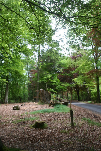
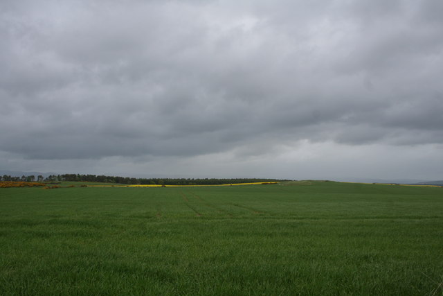
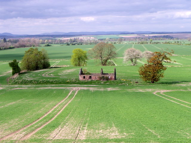
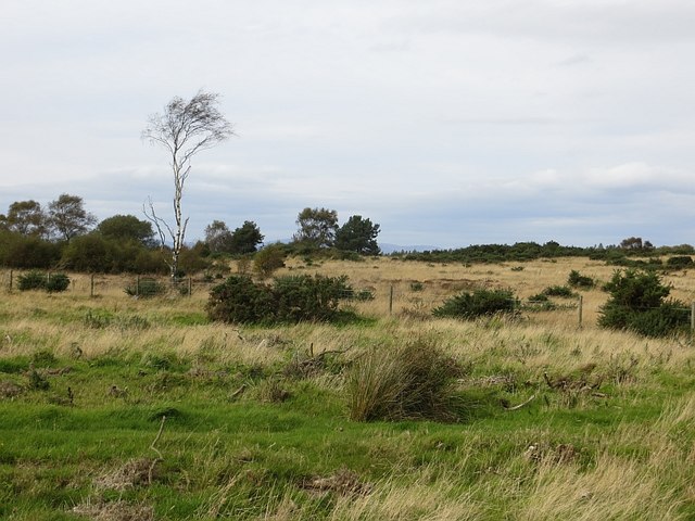
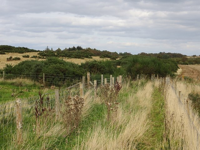
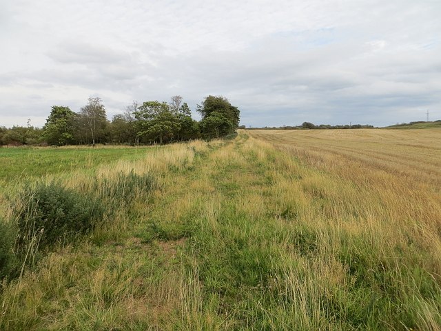
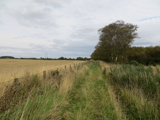
Carcary Hill Wood is a picturesque woodland located in Angus, Scotland. Stretching across an area of approximately 25 hectares, it is a popular destination for nature enthusiasts and outdoor enthusiasts alike. The woodland is situated on the slopes of Carcary Hill, offering stunning views of the surrounding landscape.

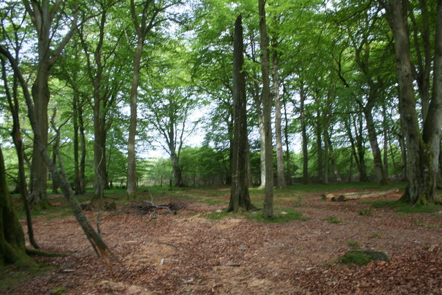
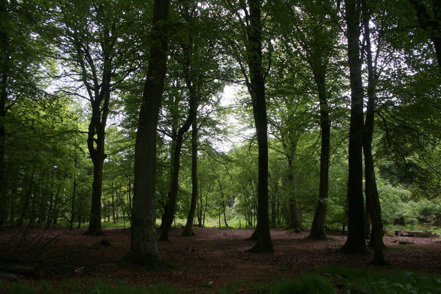
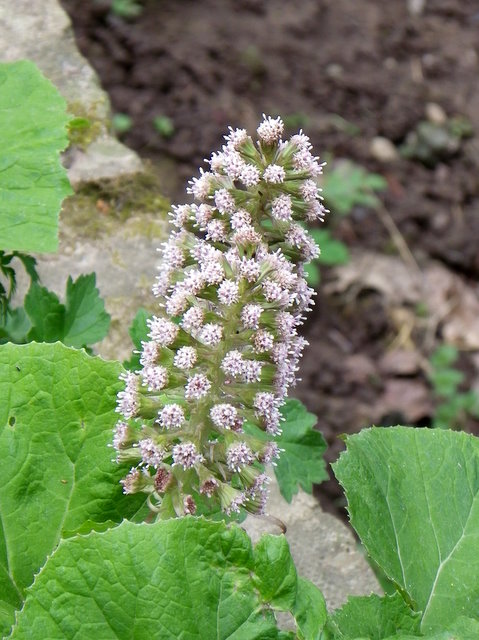
The woodland is primarily composed of native broadleaf trees, including oak, birch, and ash. These trees create a dense canopy, providing a habitat for a diverse range of flora and fauna. Bluebells and wild garlic carpet the forest floor during the spring, adding a vibrant burst of color to the woodland.

Carcary Hill Wood is home to a variety of wildlife, including red squirrels, roe deer, and numerous bird species such as woodpeckers and owls. The woodland also provides an important breeding ground for several butterfly species, including the rare pearl-bordered fritillary.

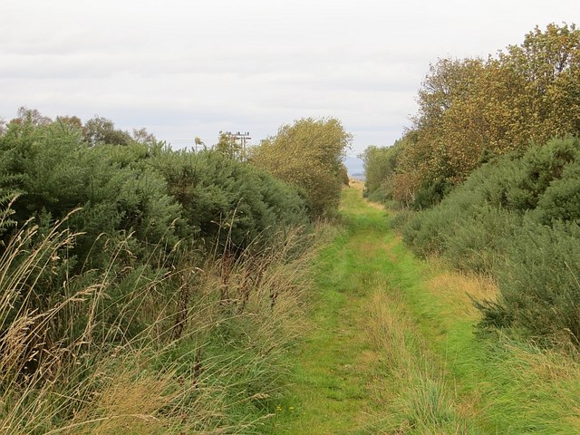
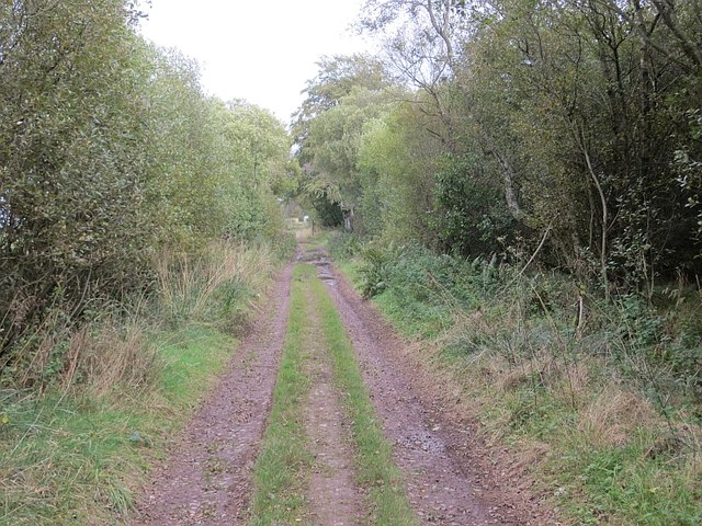
Nature trails wind their way through Carcary Hill Wood, allowing visitors to explore its beauty at their own pace. These paths offer opportunities for walking, jogging, and cycling, making it a popular destination for outdoor activities. Interpretive signs along the trails provide information about the woodland's history, ecology, and the importance of conservation efforts.

The woodland is managed by a local conservation group, ensuring the preservation of its natural beauty and biodiversity. Carcary Hill Wood offers a peaceful and tranquil escape from the hustle and bustle of everyday life, inviting visitors to immerse themselves in the wonders of nature.

If you have any feedback on the listing, please let us know in the comments section below.

Carcary Hill Wood Images

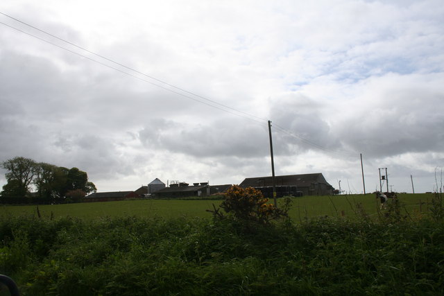
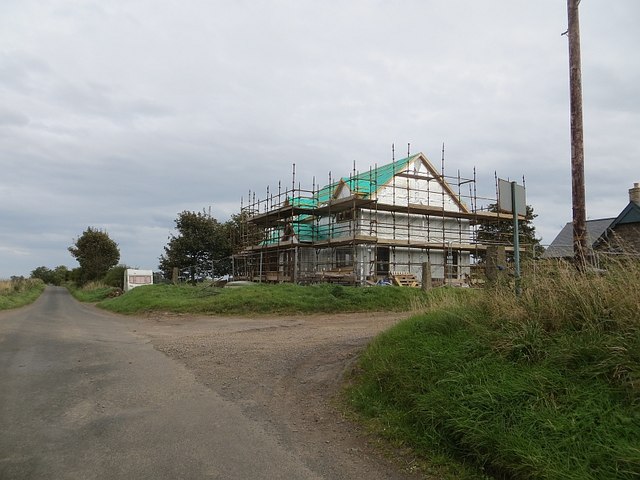
Images are sourced within 2km of 56.685022/-2.5721492 or Grid Reference NO6554. Thanks to Geograph Open Source API. All images are credited.

Rossie Stump A tree stump in woodland at Rossie.
Rossie Stump
A tree stump in woodland at Rossie.
Rossie Wood Woodland near Rossie school.
Rossie Wood
Woodland near Rossie school.
Rossie Woodland Mature woodland at Rossie.
Rossie Woodland
Mature woodland at Rossie.
Westerton of Rossie A farm near Montrose.
Westerton of Rossie
A farm near Montrose.
Pitarris Fields Fields by Pitarris Hill looking across to Four Hundred Contour Wood.
Pitarris Fields
Fields by Pitarris Hill looking across to Four Hundred Contour Wood.
Butterbur (Petasites hybridus) The male flower which is shown here is the more common and the flower heads can grow to a height of 40cm.  The plant grows in wet places and it is here growing beside the Pantaskel Burn.
Butterbur (Petasites hybridus)
The male flower which is shown here is the more common and the flower heads can grow to a height of 40cm. The plant grows in wet places and it is here growing beside the Pantaskel Burn.
Butterbur beside the Pantaskel Burn The leaves of the butterbur follow the flowers and they can grow to a great size during the summer.  Tradition has it that the leaves were used for wrapping butter.
Butterbur beside the Pantaskel Burn
The leaves of the butterbur follow the flowers and they can grow to a great size during the summer. Tradition has it that the leaves were used for wrapping butter.
The Pantaskel Burn Looking downstream from Ash Bridge.
The Pantaskel Burn
Looking downstream from Ash Bridge.
Ruin near Bonnyton According to the map, in times past a castle stood on this site, but all that remains now is the ruins of a more modern cottage.
Ruin near Bonnyton
According to the map, in times past a castle stood on this site, but all that remains now is the ruins of a more modern cottage.
Rossie Moor Whins and rough grazing, adjacent to a huge barley field.
Rossie Moor
Whins and rough grazing, adjacent to a huge barley field.
Path, Rossie Muir The eastern end of the annoying fenced in bit of the path. The section of path to the east is rather shut in by broom and gorse. I escaped to the barley stubble on the right.
Path, Rossie Muir
The eastern end of the annoying fenced in bit of the path. The section of path to the east is rather shut in by broom and gorse. I escaped to the barley stubble on the right.
Path, Rossie Moor This section is very different to the path at the western end. No fences here, just a rough track beside a huge arable field.
Path, Rossie Moor
This section is very different to the path at the western end. No fences here, just a rough track beside a huge arable field.
Track, Rossie Moor The eastern end is a bit more defined than the western end of the path. The route is unobstructed at the moment, and you can get through on horseback. However the whins and broom mean business, and the path needs more traffic to keep it open.
Track, Rossie Moor
The eastern end is a bit more defined than the western end of the path. The route is unobstructed at the moment, and you can get through on horseback. However the whins and broom mean business, and the path needs more traffic to keep it open.
Track on Rossie Moor Bonnyton to Rossie track.
Track on Rossie Moor
Bonnyton to Rossie track.
Track, Rossie The road continues to Pamphry or Bonnyton from the public road end at Rossie.
Track, Rossie
The road continues to Pamphry or Bonnyton from the public road end at Rossie.
Woodland, Rossie There are mature beeches here, mixed in with conifers.
Woodland, Rossie
There are mature beeches here, mixed in with conifers.
Westerton of Rossie Looking towards the end of the public (yellow) road from the eastern end of a track/path over Rossie Moor. While threatened by rampant vegetation in places, the path is still easy to use.
Westerton of Rossie
Looking towards the end of the public (yellow) road from the eastern end of a track/path over Rossie Moor. While threatened by rampant vegetation in places, the path is still easy to use.
New house, Westerton of Rossie
Show me another place!

Carcary Hill Wood is located at Grid Ref: NO6554 (Lat: 56.685022, Lng: -2.5721492)

Unitary Authority: Angus

Police Authority: Tayside

What 3 Words

///helped.nods.baroness. Near Brechin, Angus

Related Wikis

Farnell Road railway station

Farnell Road railway station served the village of Farnell, Angus, Scotland from 1848 to 1956 on the Aberdeen Railway. == History == The station opened...

Farnell, Angus

Farnell is a village in Angus, Scotland. It lies 2 miles south of the River South Esk, between Brechin and Montrose, near Kinnaird Castle. == References ==

Kinnaird Castle, Brechin

Kinnaird Castle is a 15th-century castle near Brechin in Angus, Scotland. The castle has been home to the Carnegie family, the Earls of Southesk, for more...

Old Montrose

Old Montrose is an estate in Montrose, Angus, Scotland. The lands and house of Old Montrose were given to David de Graham of Kincardine, in exchange for...

Arbikie distillery

Arbikie distillery is a scotch whisky, vodka and gin distillery in Inverkeilor, Angus, Scotland. == History == The distillery was built in 2013 on the...

Bridge of Dun

Bridge of Dun is a village in Angus, Scotland, located north of the River South Esk and south of the A935 road from Brechin to Montrose. == History... ==

Bridge of Dun railway station

Bridge of Dun is a privately owned station in Angus. The adjacent platforms and line are independently operated as a preserved railway by the Caledonian...
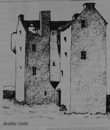
Braikie Castle

Braikie Castle is a late 16th century Scottish tower house, midway between Arbroath and Brechin, east of the village of Friockheim in the parish of Kinnell...

Related Videos

Autumn Kinnaird Church With Music On History Visit To Carse of Gowrie Perthshire Scotland

Tour Scotland 4K Autumn travel video, with Scottish Music, of the Parish Church and trees on ancestry, genealogy, family history ...

Have you been to Carcary Hill Wood?

Leave your review of Carcary Hill Wood below (or comments, questions and feedback).