Knarburn Wash Pool

Lake, Pool, Pond, Freshwater Marsh in Northumberland

England

Knarburn Wash Pool

Moorland, Knaresdale
Moorland, Knaresdale Credit: Andrew Smith

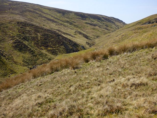
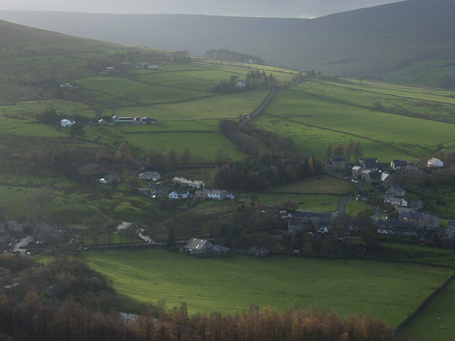
Knarburn Wash Pool is a picturesque body of water located in Northumberland, England. This natural feature is often referred to as a lake, pool, pond, or freshwater marsh due to its diverse characteristics. The pool is situated within Knarburn Forest, surrounded by lush vegetation and towering trees, creating a serene and tranquil environment.

The pool has a surface area of approximately 1.5 acres and is renowned for its crystal-clear freshwater. It is fed by several small streams and springs that originate from the nearby hills, ensuring a constant flow of clean water. The pool's depth varies throughout its length, ranging from shallow banks to deeper sections, providing a habitat for a wide range of aquatic species.

The pool's shoreline is predominantly covered in reeds, rushes, and other water-loving plants, giving it the appearance of a marsh in certain areas. This lush vegetation creates a thriving ecosystem, attracting numerous bird species, such as ducks, herons, and kingfishers, which can be observed along the pool's edges.

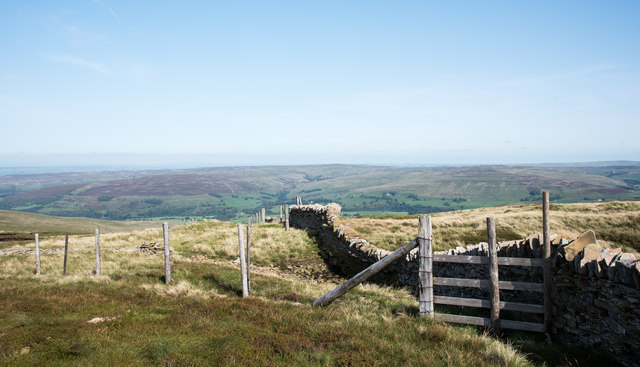
Visitors to Knarburn Wash Pool can enjoy a variety of activities, including fishing, birdwatching, and peaceful walks along the well-maintained paths that surround the pool. The area is also popular for picnicking and nature photography, offering breathtaking views and a sense of tranquility.

Overall, Knarburn Wash Pool is a hidden gem in Northumberland, providing a haven for wildlife enthusiasts and nature lovers alike. Its diverse landscape, clean water, and abundant flora and fauna make it a must-visit destination for those seeking a peaceful retreat in the heart of nature.

If you have any feedback on the listing, please let us know in the comments section below.

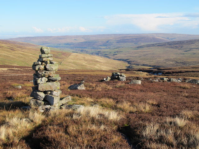
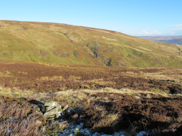
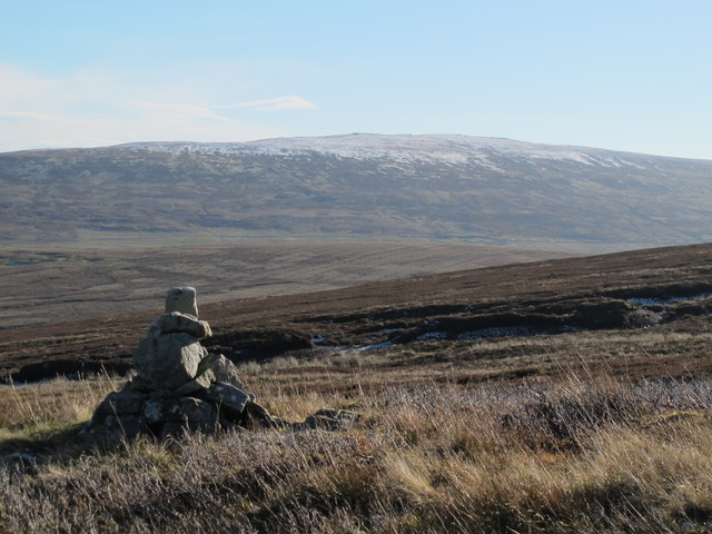
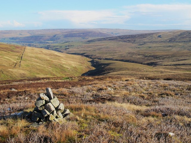
Knarburn Wash Pool Images

Images are sourced within 2km of 54.840525/-2.5404245 or Grid Reference NY6549. Thanks to Geograph Open Source API. All images are credited.

Moorland, Knaresdale
Pastures, Knaresdale A copse on the site of Butter Well, a spring on the eastern flank of the valley of the Knar Burn.
Pastures, Knaresdale
A copse on the site of Butter Well, a spring on the eastern flank of the valley of the Knar Burn.
Pastures, Knaresdale Black Hill rises across the valley.
Pastures, Knaresdale
Black Hill rises across the valley.
Junction of wall and fence north of Grey Nag The junction is along the north ridge of Grey Nag. The near fence seems to be a replacement of a stretch of wall that has been removed; a few remaining stones can be seen beyond the fence posts.
The distant moorland is on the east side of the valley of the River South Tyne.
Junction of wall and fence north of Grey Nag
The junction is along the north ridge of Grey Nag. The near fence seems to be a replacement of a stretch of wall that has been removed; a few remaining stones can be seen beyond the fence posts. The distant moorland is on the east side of the valley of the River South Tyne.
Moorland slope descending to valley of Thornhope Burn The slope descends from the north ridge of Grey Nag.
The distant moorland is on the east side of the valley of the River South Tyne.
Moorland slope descending to valley of Thornhope Burn
The slope descends from the north ridge of Grey Nag. The distant moorland is on the east side of the valley of the River South Tyne.
Pillar of peat on north ridge of Grey Nag Peat banks with a broad, separate pillar lying to the east of the ridge crest, north of the top of Grey Nag.
Whitfield Moor and Ayle Common are in the distance.
Pillar of peat on north ridge of Grey Nag
Peat banks with a broad, separate pillar lying to the east of the ridge crest, north of the top of Grey Nag. Whitfield Moor and Ayle Common are in the distance.
Shooters' hut, Knaresdale A more solid replacement of the structure seen in <a title="https://www.geograph.org.uk/photo/1896590" href="https://www.geograph.org.uk/photo/1896590">Link</a> .
Shooters' hut, Knaresdale
A more solid replacement of the structure seen in Link .
High Shield, Knaresdale The hut is seen in a more ruinous state than in, for example, <a title="https://www.geograph.org.uk/photo/608140" href="https://www.geograph.org.uk/photo/608140">Link</a> and <a title="https://www.geograph.org.uk/photo/1896661" href="https://www.geograph.org.uk/photo/1896661">Link</a> .
High Shield, Knaresdale
The hut is seen in a more ruinous state than in, for example, Link and Link .
Moorland, Knaresdale The northern ridge of Grey Nag.
Moorland, Knaresdale
The northern ridge of Grey Nag.
Currick on Gilling Brigg Looking roughly NE down the valley of Gelt Burn towards the valley of the River South Tyne around Slaggyford with Williamston Common beyond.
Currick on Gilling Brigg
Looking roughly NE down the valley of Gelt Burn towards the valley of the River South Tyne around Slaggyford with Williamston Common beyond.
Currick on Gilling Brigg Looking towards the cleugh of Michaelly Sike running up the steep hillside below Three Pikes.
Currick on Gilling Brigg
Looking towards the cleugh of Michaelly Sike running up the steep hillside below Three Pikes.
Currick on Gilling Brigg Looking across the cleughs of Scythesand Sike and Knar Burn towards a snow-covered Grey Nag in <a href="https://www.geograph.org.uk/gridref/NY6647">NY6647</a>.
Currick on Gilling Brigg
Looking across the cleughs of Scythesand Sike and Knar Burn towards a snow-covered Grey Nag in NY6647.
Gilling Brigg above Guy's Middle
Thornhope Fell
Thornhope Fell
Thornhope Fell
Thornhope Fell
Rock outcrop in the headwaters of Smallcleugh Burn
Show me another place!

Knarburn Wash Pool is located at Grid Ref: NY6549 (Lat: 54.840525, Lng: -2.5404245)

Unitary Authority: Northumberland

Police Authority: Northumbria

What 3 Words

///fatigued.deaf.otter. Near Alston, Cumbria

Nearby Locations

Knarburn Wash Pool

Related Wikis

Aules Hill Meadows

Aules Hill Meadows is the name given to a Site of Special Scientific Interest (SSSI) in Northumberland, England. The site, listed since 1992, is a set...

Slaggyford railway station

Slaggyford was a railway station on the Alston Line, which ran between Haltwhistle and Alston. The station served the village of Slaggyford in Northumberland...

Slaggyford

Slaggyford is a village in the civil parish of Knaresdale with Kirkhaugh, in Northumberland, England about 5 miles (8 km) north of Alston, Cumbria. It...

Lintley Halt railway station

Lintley Halt is a railway station on the South Tynedale Railway, which runs between Slaggyford and Alston. The station is located about 1+1⁄4 miles (2...

Nearby Amenities

Located within 500m of 54.840525,-2.5404245
Hunting Stand
Lat/Long: 54.8383101/-2.542495
Hunting Stand
Lat/Long: 54.8383394/-2.5431421
Hunting Stand
Lat/Long: 54.8383963/-2.543826
Hunting Stand
Lat/Long: 54.838437/-2.5444872
Hunting Stand
Lat/Long: 54.8384744/-2.5451089
Hunting Stand
Lat/Long: 54.8385151/-2.5457984
Hunting Stand
Lat/Long: 54.8385721/-2.5465586
Hunting Stand
Lat/Long: 54.8386128/-2.5472905
Waterway: waterfall
Lat/Long: 54.8398597/-2.5405644
Waterway: waterfall
Lat/Long: 54.842423/-2.5393227
The data included in this document is from www.openstreetmap.org. The data is made available under ODbL.

Have you been to Knarburn Wash Pool?

Leave your review of Knarburn Wash Pool below (or comments, questions and feedback).