Taylor's Hole
Lake, Pool, Pond, Freshwater Marsh in Lancashire
England
Taylor's Hole
The requested URL returned error: 429 Too Many Requests
If you have any feedback on the listing, please let us know in the comments section below.
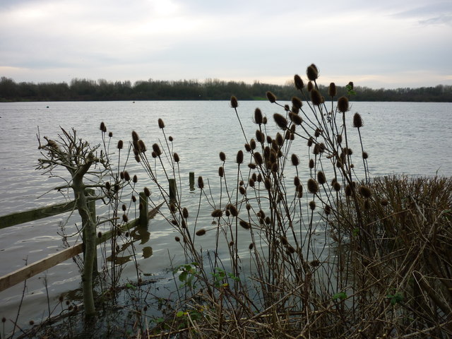
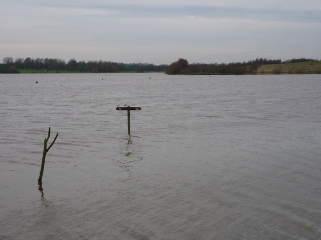
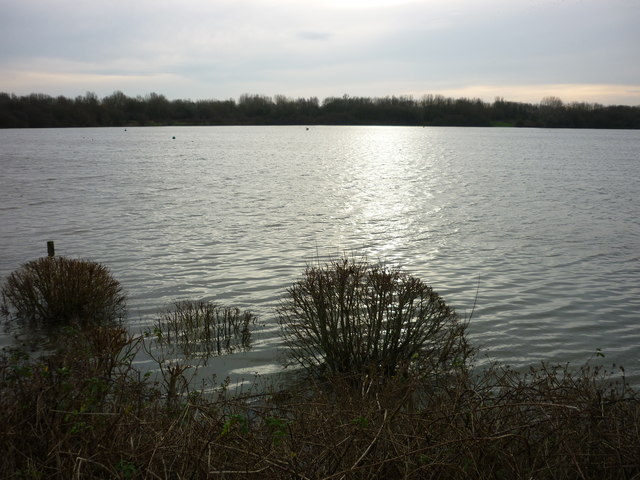
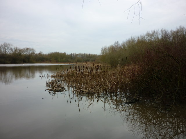
Taylor's Hole Images
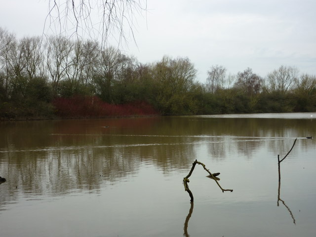
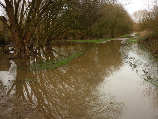
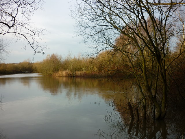
Images are sourced within 2km of 53.488346/-2.527448 or Grid Reference SJ6599. Thanks to Geograph Open Source API. All images are credited.

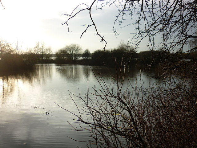
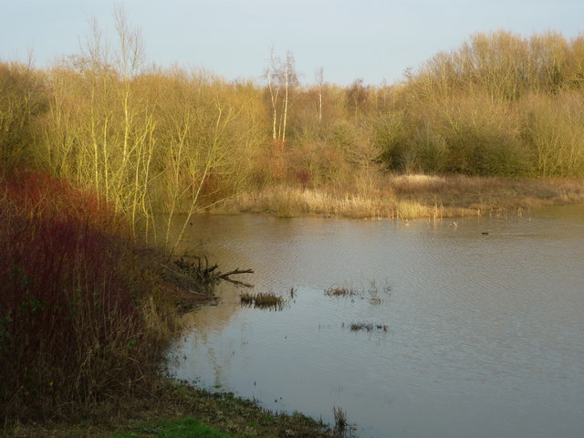
![From Tom Edmondson's Hide (1) Taken from Tom Edmondson's Hide, Pennington Flash Country Park, Leigh, Greater Manchester, and looking south east. [Heron spotted off to the left of shot.]](https://s2.geograph.org.uk/geophotos/04/80/31/4803110_f7c4b3ee.jpg)
Taylor's Hole is located at Grid Ref: SJ6599 (Lat: 53.488346, Lng: -2.527448)
Unitary Authority: Wigan
Police Authority: Greater Manchester
What 3 Words
///claim.formless.rentals. Near Leigh, Manchester
Nearby Locations
Related Wikis

Leigh Sports Village
Leigh Sports Village is a multi-use sports, retail and housing development in Leigh, Greater Manchester, England. The centrepiece of the development is...

Christ Church, Pennington
Christ Church (grid reference SJ653995) is an active Anglican parish church in Pennington, Leigh, Greater Manchester, England. Christ Church serves the...

A572 road
The A572 is a main road serving the Greater Manchester and Merseyside areas, running from Swinton to St Helens via Leigh and Newton-le-Willows. == Route... ==

Pennington railway station
Pennington railway station served Pennington, Leigh, Greater Manchester, England on the Bolton and Leigh Railway. It was situated within the historic county...
Nearby Amenities
Located within 500m of 53.488346,-2.527448Have you been to Taylor's Hole?
Leave your review of Taylor's Hole below (or comments, questions and feedback).