Woldgill Tarn

Lake, Pool, Pond, Freshwater Marsh in Cumberland Eden

England

Woldgill Tarn

De Havilland Venom WR557 Wreckage of De Havilland Venom
This plane crashed on 4th March 1957. Sadly the pilot Flight Lieutenant W.F. Marshall died in the crash. The aircraft had taken off from RAF Silloth. Wing NO WR557.
De Havilland Venom WR557 Credit: John Ryles

Woldgill Tarn, located in Cumberland, England, is a picturesque freshwater lake nestled amidst the scenic beauty of the Lake District National Park. It is a small, tranquil body of water, often referred to as a tarn, pool, or pond. With a surface area of approximately 2 hectares, it is surrounded by lush greenery, rolling hills, and dense woodland.

The tarn is fed by natural springs and streams, ensuring a constant flow of fresh, crystal-clear water. Its depth varies, with the deepest parts reaching around 6 meters. The water is incredibly clean and supports a diverse range of aquatic life, including various fish species, such as trout and perch.

Woldgill Tarn is also home to a thriving ecosystem of plants and wildlife. Its shores are adorned with vibrant aquatic plants, such as water lilies and reeds, creating a haven for birds, insects, and small mammals. It is a popular spot for birdwatchers, who come to observe a variety of species, including ducks, swans, and herons.

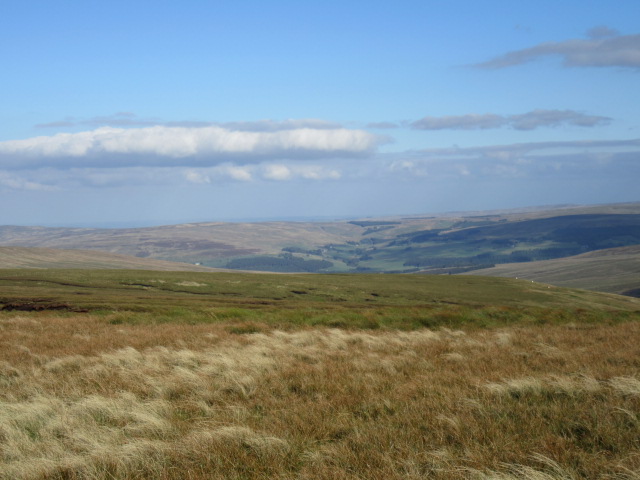
Surrounded by breathtaking scenery, Woldgill Tarn offers a peaceful retreat for visitors seeking tranquility and natural beauty. The surrounding area provides ample opportunities for hiking, picnicking, and photography. The peaceful ambiance and serene atmosphere make it an ideal place for relaxation and reflection.

Overall, Woldgill Tarn is a charming freshwater marsh, offering a glimpse into the beauty and diversity of the Lake District's natural landscape. Whether visitors are seeking outdoor activities or simply yearning for a quiet escape, this idyllic tarn provides an enchanting experience for all.

If you have any feedback on the listing, please let us know in the comments section below.

Woldgill Tarn Images

Images are sourced within 2km of 54.810008/-2.5440934 or Grid Reference NY6546. Thanks to Geograph Open Source API. All images are credited.

De Havilland Venom WR557 Wreckage of De Havilland Venom
This plane crashed on 4th March 1957. Sadly the pilot Flight Lieutenant W.F. Marshall died in the crash. The aircraft had taken off from RAF Silloth. Wing NO WR557.
De Havilland Venom WR557
Wreckage of De Havilland Venom This plane crashed on 4th March 1957. Sadly the pilot Flight Lieutenant W.F. Marshall died in the crash. The aircraft had taken off from RAF Silloth. Wing NO WR557.
De Havilland Venom WR557 Wreckage of De Havilland Venom Farlam Curric, Crogin Fell
De Havilland Venom WR557
Wreckage of De Havilland Venom Farlam Curric, Crogin Fell
Upper reaches of Croglin Water
Tom Smith's Stone
Tom Smith's Stone
Grey Nag
Grey Nag
Cairn east of Watch Hill, NY 63437 45963 The cairn was located when searching for a 'currick' marked on OS maps at NY 63375 46004. When the cairn in the image was reached it was thought to be that one but  a check of the GPS receiver suggested otherwise. No other nearby cairn/currick was seen. There's probably an error somewhere, but there's certainty with the photographer that the GPS co-ordinates used in the Geograph submission both for the cairn and camera locations were recorded correctly.
Cairn east of Watch Hill, NY 63437 45963
The cairn was located when searching for a 'currick' marked on OS maps at NY 63375 46004. When the cairn in the image was reached it was thought to be that one but a check of the GPS receiver suggested otherwise. No other nearby cairn/currick was seen. There's probably an error somewhere, but there's certainty with the photographer that the GPS co-ordinates used in the Geograph submission both for the cairn and camera locations were recorded correctly.
Moorland west of Watch Hill Watch Hill is a location along the broad ridge connecting Thack Moor with Black Fell. The location in the image is to the north of the ridge crest with a view across the valley of Croglin Water.
Moorland west of Watch Hill
Watch Hill is a location along the broad ridge connecting Thack Moor with Black Fell. The location in the image is to the north of the ridge crest with a view across the valley of Croglin Water.
Fence and wall line along moorland ridge The broad ridge connects Black Fell to which it rises behind the camera location, and Watch Hill which lies in the distance occupying the left side of the image.
Changes between walling and fencing are common in the uplands and often occur frequently along a single stretch of ground. Typically, walling, being more sturdy and permanent, would be preferred but where the ground is soft and wet fencing is likely to be used as such ground would not offer the required level of stability for heavier stonework.
Fence and wall line along moorland ridge
The broad ridge connects Black Fell to which it rises behind the camera location, and Watch Hill which lies in the distance occupying the left side of the image. Changes between walling and fencing are common in the uplands and often occur frequently along a single stretch of ground. Typically, walling, being more sturdy and permanent, would be preferred but where the ground is soft and wet fencing is likely to be used as such ground would not offer the required level of stability for heavier stonework.
Boundary Stone (Tom Smith's Stone) There is an Ordnance Survey cut mark on the stone. It marks a point 629.7m above mean sea level.
Boundary Stone (Tom Smith's Stone)
There is an Ordnance Survey cut mark on the stone. It marks a point 629.7m above mean sea level.
Moorland in Gilderdale, Alston An ill-defined ridge climbing towards The Dod and the main east/west Pennine watershed.
Moorland in Gilderdale, Alston
An ill-defined ridge climbing towards The Dod and the main east/west Pennine watershed.
Moorland in Gilderdale, Alston Candlesieve Sike is seen descending in the foreground, reaching the valley of Woldgill Burn, which joins Gilderdale Burn before it reaches the South Tyne valley beyond.
Moorland in Gilderdale, Alston
Candlesieve Sike is seen descending in the foreground, reaching the valley of Woldgill Burn, which joins Gilderdale Burn before it reaches the South Tyne valley beyond.
Moorland, Kirkhaugh The grassy southern flank of Grey Nag above Woldgill Burn. A faint outline of Cross Fell may just be noticed at the extreme top of picture.
Moorland, Kirkhaugh
The grassy southern flank of Grey Nag above Woldgill Burn. A faint outline of Cross Fell may just be noticed at the extreme top of picture.
Old Boundary Marker - Tom Smith's Stone, Gilderdale Forest Municipal Boundary Marker - Tom Smith's Stone on the boundary of Knaresdale with Kirkhaugh parish, Northumberland and Ainstable and Alston Moor parishes in Cumbria, Gilderdale Forest, at Tom Smith's Stone.

Inscribed:
K on the north face
W on the east face
A on the south face
C on the west face

Surveyed

Milestone Society National ID: NB_KNAKIR01pb
Old Boundary Marker - Tom Smith's Stone, Gilderdale Forest
Municipal Boundary Marker - Tom Smith's Stone on the boundary of Knaresdale with Kirkhaugh parish, Northumberland and Ainstable and Alston Moor parishes in Cumbria, Gilderdale Forest, at Tom Smith's Stone. Inscribed: K on the north face W on the east face A on the south face C on the west face Surveyed Milestone Society National ID: NB_KNAKIR01pb
Walls meeting at mountain summit The summit is that of Grey Nag. It's not apparent in the image but there's a sheep pen at the angle where the walls meet.
Walls meeting at mountain summit
The summit is that of Grey Nag. It's not apparent in the image but there's a sheep pen at the angle where the walls meet.
Black Fell Looking SE.
Black Fell
Looking SE.
Valley of Woldgill Burn A low water level in Woldgill Burn heading downstream towards its confluence with Gilderdale Burn.
Valley of Woldgill Burn
A low water level in Woldgill Burn heading downstream towards its confluence with Gilderdale Burn.
Stream draining south side of Grey Nag Rough, grassy slopes descend steeply from the summit of Grey Nag. It's a fairly featureless face broken only by one or two minor streams which feed their waters into Woldgill Burn.
Stream draining south side of Grey Nag
Rough, grassy slopes descend steeply from the summit of Grey Nag. It's a fairly featureless face broken only by one or two minor streams which feed their waters into Woldgill Burn.
Woldgill Moss and the southern slopes of Grey Nag
Show me another place!

Woldgill Tarn is located at Grid Ref: NY6546 (Lat: 54.810008, Lng: -2.5440934)

Administrative County: Cumbria

District: Eden

Police Authority: Cumbria

What 3 Words

///tearfully.cookie.jars. Near Alston, Cumbria

Related Wikis

Black Fell (Pennines)

Black Fell is a hill in the North Pennines, England. It is located just north of the A686 road, west of Alston and is one of the most northerly parts of...

Whitley Castle

Whitley Castle (Epiacum) is a large, unusually shaped Roman fort (Latin: castra) north-west of the town of Alston, Cumbria, England. The castrum, which...

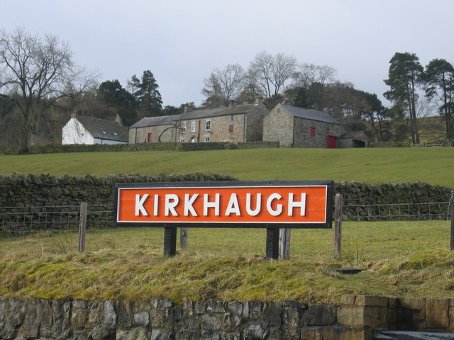
Kirkhaugh railway station

Kirkhaugh is a railway station on the South Tynedale Railway, which runs between Slaggyford and Alston. The station serves the hamlet of Kirkhaugh in Northumberland...

South Tynedale Railway

The South Tynedale Railway is a preserved, 2 ft (610 mm) narrow gauge heritage railway in Northern England and at 875ft is England's second highest narrow...

Gilderdale Halt railway station

Gilderdale Halt railway station, also known as Gilderdale railway station, served the town of Alston, Cumbria, England, from 1986 to 1999 on the South...
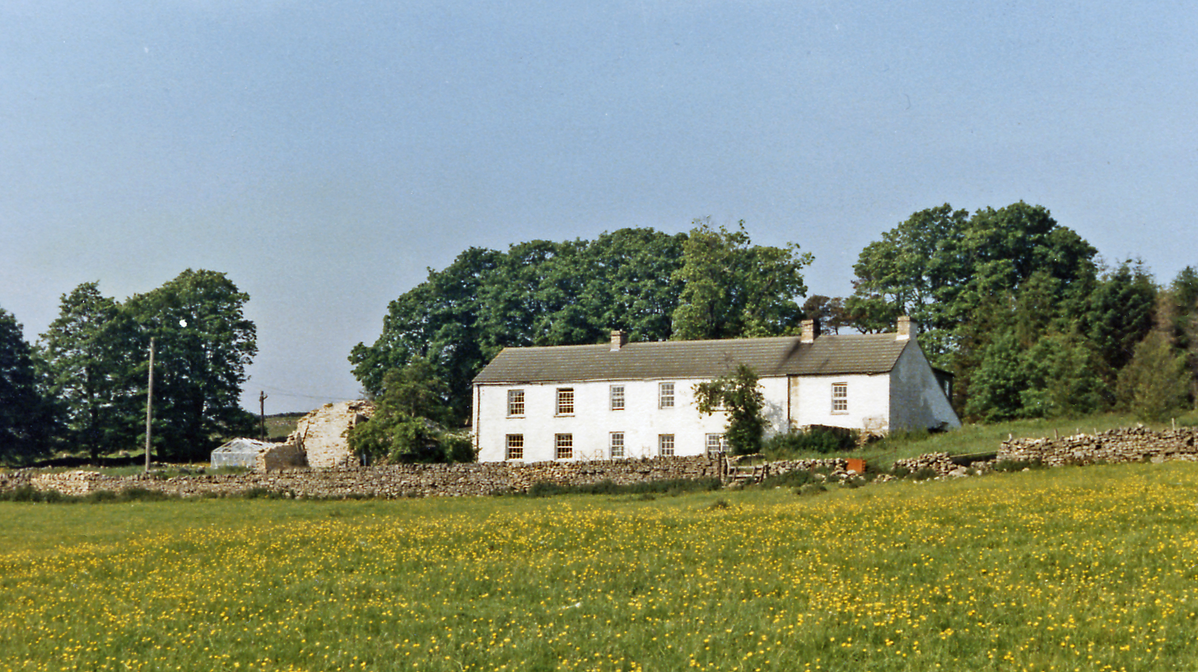
Bayles, Cumbria

Bayles is a hamlet near Alston in Cumbria, England.

Kirkhaugh

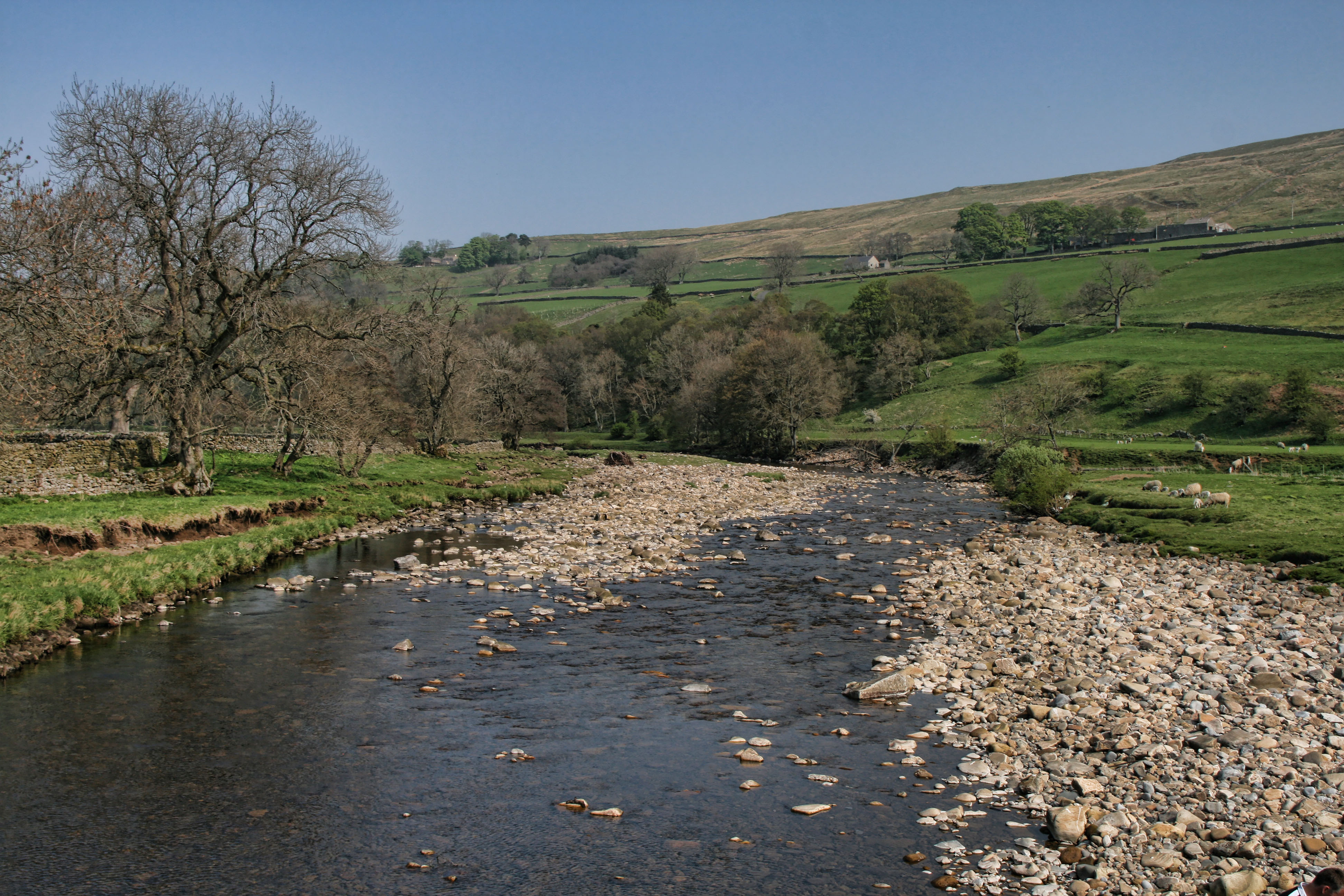
Kirkhaugh is a very small village and former civil parish, now in the parish of Knaresdale with Kirkhaugh, adjacent to the River South Tyne in Northumberland...

Busk, Cumbria

Busk is a hamlet in Cumbria, England. It is located 3.7 miles (6.0 km) by road to the east of Kirkoswald. == See also == List of places in Cumbria ��2...

Nearby Amenities

Located within 500m of 54.810008,-2.5440934
Ele: 631.2
Man Made: survey_point
Source: NPE
Lat/Long: 54.8124384/-2.5423746
Tom Smith's Stone
Ele: 631.2
Natural: peak
Lat/Long: 54.8123523/-2.5423601
High Band Currick
Man Made: cairn
Lat/Long: 54.8116482/-2.5374919
The data included in this document is from www.openstreetmap.org. The data is made available under ODbL.

Have you been to Woldgill Tarn?

Leave your review of Woldgill Tarn below (or comments, questions and feedback).