White House Pond

Lake, Pool, Pond, Freshwater Marsh in Lancashire

England

White House Pond

The Windmill, Preston Rd, Mellor Brook Popular noshery
The Windmill, Preston Rd, Mellor Brook Credit: Mike and Kirsty Grundy

White House Pond is a freshwater pond located in Lancashire, England. It is a serene and picturesque body of water, covering an area of approximately 2 acres. The pond is situated near the White House, which adds to its charm and beauty.

Surrounded by lush greenery and tall trees, White House Pond serves as a haven for various species of flora and fauna. The water is crystal clear and reflects the natural surroundings, creating a peaceful and tranquil atmosphere.

The pond is home to a diverse range of aquatic plants, such as water lilies, reeds, and rushes. These plants not only enhance the visual appeal of the pond but also provide a habitat for numerous insects, amphibians, and fish species.

Birdwatchers often visit White House Pond to observe the various avian species that inhabit the area. The pond attracts a wide variety of birds, including ducks, swans, herons, and kingfishers. These birds can often be seen gliding gracefully across the water or perched on the tree branches nearby.

White House Pond is also a popular spot for recreational activities such as fishing and boating. Anglers can try their luck at catching fish species like perch, roach, and tench that thrive in the pond's waters. Boating enthusiasts can enjoy a leisurely ride or paddle around the pond, taking in the serene surroundings.

Overall, White House Pond is a beautiful and diverse ecosystem that offers both visitors and wildlife a tranquil retreat from the bustling city life.

If you have any feedback on the listing, please let us know in the comments section below.

White House Pond Images

Images are sourced within 2km of 53.754395/-2.5486731 or Grid Reference SD6328. Thanks to Geograph Open Source API. All images are credited.

The Windmill, Preston Rd, Mellor Brook Popular noshery
The Windmill, Preston Rd, Mellor Brook
Popular noshery
The Shell Garage, Mellor Brook
Fields below Further Lane In the middle of the photo, on the horizon you can see Parlick <a href="https://www.geograph.org.uk/gridref/SD5944">SD5944</a>
Fields below Further Lane
In the middle of the photo, on the horizon you can see Parlick SD5944
Further Lane Leading down to the junction with the A677. The gateposts on the right are for the driveway up to Stanley House <a href="https://www.geograph.org.uk/photo/104756">SD6429 : Stanley House</a>
Further Lane
Leading down to the junction with the A677. The gateposts on the right are for the driveway up to Stanley House SD6429 : Stanley House
Barn on Park Lane On this Park Lane you really did ought to have a 4x4 vehicle.
Barn on Park Lane
On this Park Lane you really did ought to have a 4x4 vehicle.
Intake Lane, Mellor Brook A quiet cut-through to the A677.
Intake Lane, Mellor Brook
A quiet cut-through to the A677.
Windmill Land Rovers, Mellor Brook
Intake Lane A quiet narrow lane that leads onto the A677 New Preston Road, from the village of Mellor Brook.
Intake Lane
A quiet narrow lane that leads onto the A677 New Preston Road, from the village of Mellor Brook.
Old Milestone by the A677, Mellor Brook, Samlesbury parish Carved stone post by the A677, in parish of SAMLESBURY (SOUTH RIBBLE District), Mellor Brook, near Higher Park Farm, on South side of road. Salmesbury stone, erected by the Blackburn & Preston turnpike trust in the 19th century. 

Inscription reads:-
: 6 / MILES / TO / PRESTON / (SAMLESBURY) : : 3¾ / MILES / TO / (BLACKBURN / SAMLESBURY) :  

Milestone Society National ID: LA_PSBBA06.
Old Milestone by the A677, Mellor Brook, Samlesbury parish
Carved stone post by the A677, in parish of SAMLESBURY (SOUTH RIBBLE District), Mellor Brook, near Higher Park Farm, on South side of road. Salmesbury stone, erected by the Blackburn & Preston turnpike trust in the 19th century. Inscription reads:- : 6 / MILES / TO / PRESTON / (SAMLESBURY) : : 3¾ / MILES / TO / (BLACKBURN / SAMLESBURY) : Milestone Society National ID: LA_PSBBA06.
Old Boundary Marker by the A677, Preston New Road, Samlesbury Parish Boundary Marker by the A677, in parish of Samlesbury (South Ribble District), Preston New Road, 20m East of junction with Branch Lane, in hedge, North side of road.

Inscription reads:-
: SAMLESBURY : : MELLOR :

Surveyed

Milestone Society National ID: LA_SAMMEL01pb
Old Boundary Marker by the A677, Preston New Road, Samlesbury
Parish Boundary Marker by the A677, in parish of Samlesbury (South Ribble District), Preston New Road, 20m East of junction with Branch Lane, in hedge, North side of road. Inscription reads:- : SAMLESBURY : : MELLOR : Surveyed Milestone Society National ID: LA_SAMMEL01pb
Fields off Further Lane As usual here, grass.
Fields off Further Lane
As usual here, grass.
Park Lane, Mellor Brook Bridleway that runs parallel and slightly south of the A677 Preston New Road in Mellor Brook
Park Lane, Mellor Brook
Bridleway that runs parallel and slightly south of the A677 Preston New Road in Mellor Brook
Farm Outbuilding by Park Lane
Access Lane from Hoolster Farm Adopted by a public footpath, this access lane heads north towards the A677, Preston New Road
Access Lane from Hoolster Farm
Adopted by a public footpath, this access lane heads north towards the A677, Preston New Road
View towards Crook Hey Wood
Long Lane Descending towards the community of Pleasington
Long Lane
Descending towards the community of Pleasington
Bolton Hall Farm Grade II Listed Building, with an air of neglect around the buildings.
Bolton Hall Farm
Grade II Listed Building, with an air of neglect around the buildings.
Approaching Bolton Hall Farm Following the footpath from Samlesbury Bottoms and the Darwen Valley
Approaching Bolton Hall Farm
Following the footpath from Samlesbury Bottoms and the Darwen Valley
Show me another place!

White House Pond is located at Grid Ref: SD6328 (Lat: 53.754395, Lng: -2.5486731)

Unitary Authority: Blackburn with Darwen

Police Authority: Lancashire

What 3 Words

///stall.hangs.lovely. Near Blackburn, Lancashire

Related Wikis

Westholme School

Westholme School is a coeducational private school in Blackburn, Lancashire, England. Founded in 1923, it caters for boys and girls aged from 3 years to...

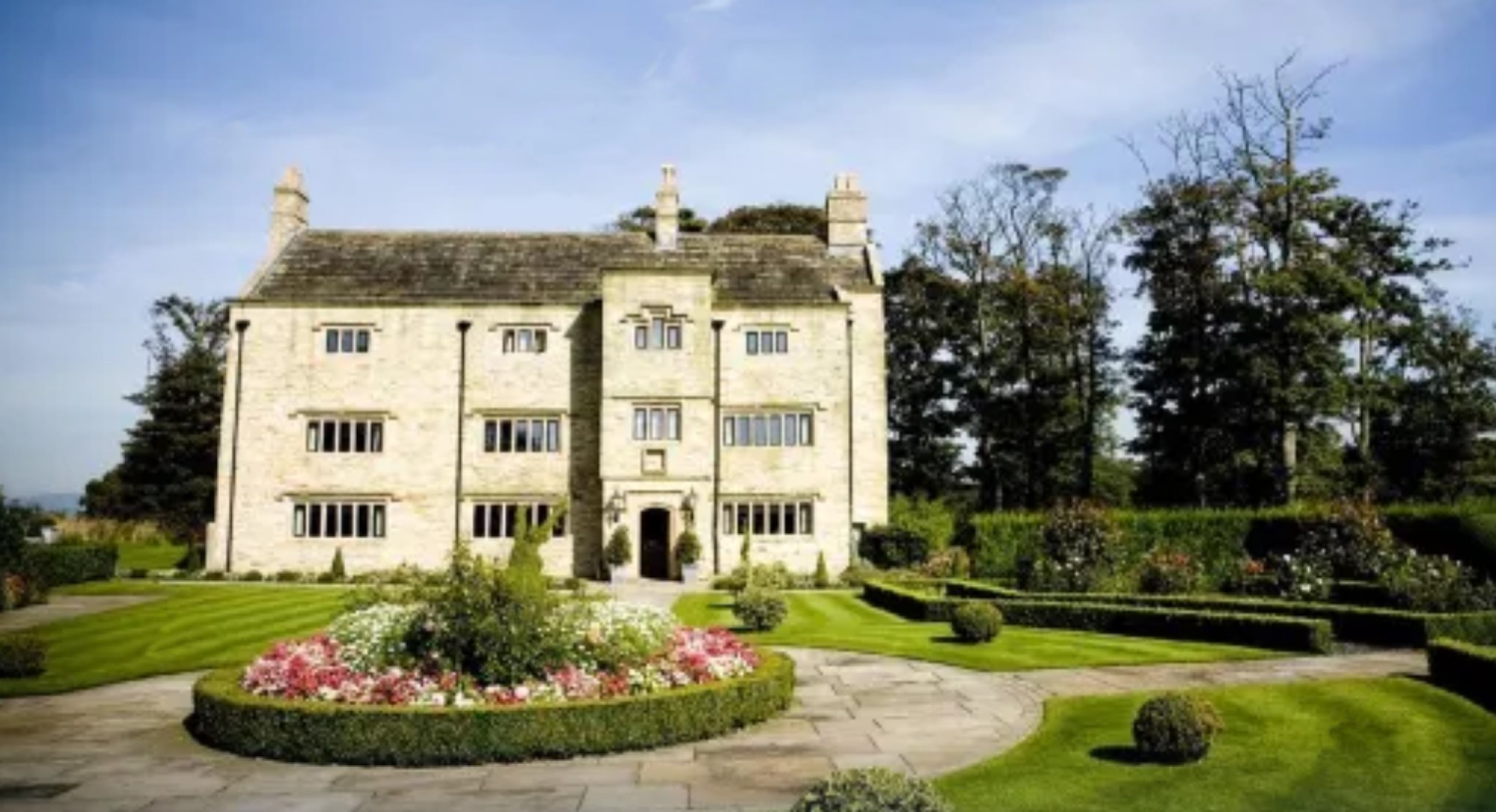
Stanley House Hotel, Mellor

Stanley House in Mellor, Lancashire, England, is a building of historical significance and is Grade II* listed on the English Heritage Register. It was...

Billinge Hill, Blackburn

Billinge Hill is a prominent 246-metre-high (807 ft) wooded hill on the western edge of the town of Blackburn in the borough of Blackburn with Darwen in...

Billinge Scar

Billinge Scar was a 19th-century country house (now demolished) near Blackburn, Lancashire, England. It was built of stone in two storeys around an existing...

Have you been to White House Pond?

Leave your review of White House Pond below (or comments, questions and feedback).