Old Woodfold Wood

Wood, Forest in Lancashire

England

Old Woodfold Wood

The Windmill, Preston Rd, Mellor Brook Popular noshery
The Windmill, Preston Rd, Mellor Brook Credit: Mike and Kirsty Grundy

Old Woodfold Wood is a picturesque woodland located in the county of Lancashire, England. Situated in the small village of Woodfold, this ancient forest covers an area of approximately 100 acres, making it a notable natural landmark in the region.

The woodland is known for its dense canopy of towering oak, beech, and birch trees, which provide a haven for a diverse range of flora and fauna. The forest floor is carpeted with a rich assortment of wildflowers, including bluebells and wood anemones, creating a vibrant and enchanting atmosphere.

Old Woodfold Wood is also home to a variety of wildlife, making it a popular destination for nature enthusiasts and birdwatchers. Visitors may catch glimpses of native species such as roe deer, foxes, badgers, and squirrels, as well as a plethora of bird species including woodpeckers, owls, and thrushes.

The forest has a network of well-maintained footpaths and trails, allowing visitors to explore its natural beauty at their own pace. These paths lead visitors through a tapestry of ancient trees, babbling brooks, and small ponds, offering a tranquil and serene experience.

Old Woodfold Wood is not only a natural gem but also a historically significant site. It is believed that the woodland has been in existence for centuries, with evidence of human activity dating back to the medieval period. The forest's proximity to the village of Woodfold has made it an integral part of the local community's identity and heritage.

Overall, Old Woodfold Wood is a captivating woodland that showcases the beauty of Lancashire's natural landscape. Its ancient trees, diverse wildlife, and historical significance make it a must-visit destination for anyone seeking a peaceful and immersive experience in nature.

If you have any feedback on the listing, please let us know in the comments section below.

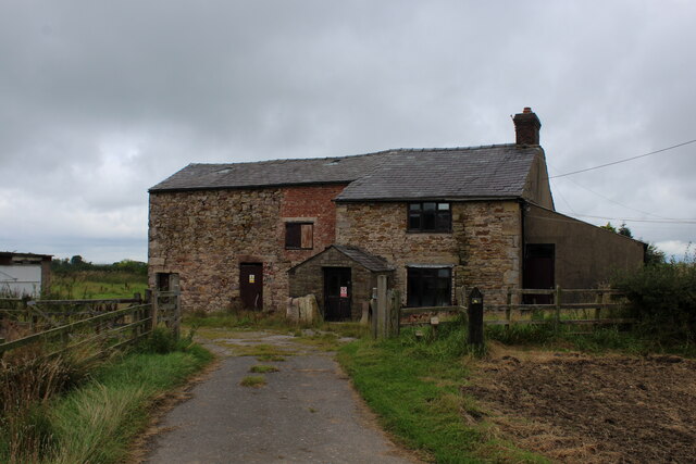
Old Woodfold Wood Images

Images are sourced within 2km of 53.751981/-2.5499762 or Grid Reference SD6328. Thanks to Geograph Open Source API. All images are credited.

The Windmill, Preston Rd, Mellor Brook Popular noshery
The Windmill, Preston Rd, Mellor Brook
Popular noshery
The Shell Garage, Mellor Brook
Fields below Further Lane In the middle of the photo, on the horizon you can see Parlick <a href="https://www.geograph.org.uk/gridref/SD5944">SD5944</a>
Fields below Further Lane
In the middle of the photo, on the horizon you can see Parlick SD5944
Further Lane Leading down to the junction with the A677. The gateposts on the right are for the driveway up to Stanley House <a href="https://www.geograph.org.uk/photo/104756">SD6429 : Stanley House</a>
Further Lane
Leading down to the junction with the A677. The gateposts on the right are for the driveway up to Stanley House SD6429 : Stanley House
Windmill Land Rovers, Mellor Brook
Old Boundary Marker by the A677, Preston New Road, Samlesbury Parish Boundary Marker by the A677, in parish of Samlesbury (South Ribble District), Preston New Road, 20m East of junction with Branch Lane, in hedge, North side of road.

Inscription reads:-
: SAMLESBURY : : MELLOR :

Surveyed

Milestone Society National ID: LA_SAMMEL01pb
Old Boundary Marker by the A677, Preston New Road, Samlesbury
Parish Boundary Marker by the A677, in parish of Samlesbury (South Ribble District), Preston New Road, 20m East of junction with Branch Lane, in hedge, North side of road. Inscription reads:- : SAMLESBURY : : MELLOR : Surveyed Milestone Society National ID: LA_SAMMEL01pb
Fields off Further Lane As usual here, grass.
Fields off Further Lane
As usual here, grass.
Park Lane, Mellor Brook Bridleway that runs parallel and slightly south of the A677 Preston New Road in Mellor Brook
Park Lane, Mellor Brook
Bridleway that runs parallel and slightly south of the A677 Preston New Road in Mellor Brook
Samlesbury Bottoms Goosefoot Lane in the hamlet of Samlesbury Bottoms, tucked away in the narrow Darwen Valley.
Samlesbury Bottoms
Goosefoot Lane in the hamlet of Samlesbury Bottoms, tucked away in the narrow Darwen Valley.
View towards Crook Hey Wood
Waste Water Conduit over Trout Brook A pipe bridge which transports raw sewerage from Blackburn to the treatment facility at Salmesbury.
Waste Water Conduit over Trout Brook
A pipe bridge which transports raw sewerage from Blackburn to the treatment facility at Salmesbury.
Long Lane Descending towards the community of Pleasington
Long Lane
Descending towards the community of Pleasington
Bolton Hall Farm Grade II Listed Building, with an air of neglect around the buildings.
Bolton Hall Farm
Grade II Listed Building, with an air of neglect around the buildings.
Approaching Bolton Hall Farm Following the footpath from Samlesbury Bottoms and the Darwen Valley
Approaching Bolton Hall Farm
Following the footpath from Samlesbury Bottoms and the Darwen Valley
Highfields Farm Look of abandonment permeates this farmhouse
Highfields Farm
Look of abandonment permeates this farmhouse
Pleasington Priory churchyard Looking north from the church door.
Pleasington Priory churchyard
Looking north from the church door.
Gateway to Pleasington Priory The R.C. church is dedicated to Ss. Mary and John the Baptist. It is within the parish of St. Oscar Romero in the Diocese of Salford.
Gateway to Pleasington Priory
The R.C. church is dedicated to Ss. Mary and John the Baptist. It is within the parish of St. Oscar Romero in the Diocese of Salford.
Car park entrance The church car park in Pleasington is off Priory Close.
Car park entrance
The church car park in Pleasington is off Priory Close.
Show me another place!

Old Woodfold Wood is located at Grid Ref: SD6328 (Lat: 53.751981, Lng: -2.5499762)

Unitary Authority: Blackburn with Darwen

Police Authority: Lancashire

What 3 Words

///skyrocket.movements.duck. Near Blackburn, Lancashire

Related Wikis

Westholme School

Westholme School is a coeducational private school in Blackburn, Lancashire, England. Founded in 1923, it caters for boys and girls aged from 3 years to...

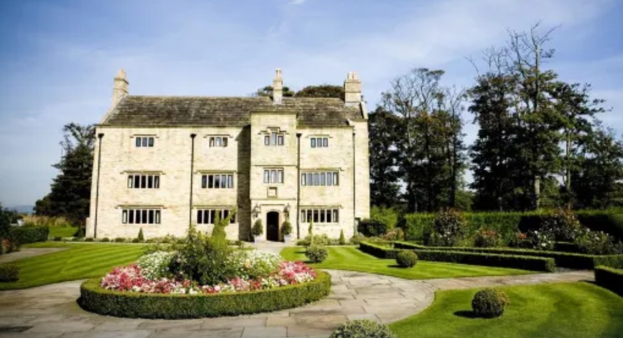
Stanley House Hotel, Mellor

Stanley House in Mellor, Lancashire, England, is a building of historical significance and is Grade II* listed on the English Heritage Register. It was...

Billinge Hill, Blackburn

Billinge Hill is a prominent 246-metre-high (807 ft) wooded hill on the western edge of the town of Blackburn in the borough of Blackburn with Darwen in...

Pleasington Priory

Pleasington Priory, or the Church of St Mary and St John Baptist, is a Catholic church in the village of Pleasington, Lancashire, England. It is recorded...

Nearby Amenities

Located within 500m of 53.751981,-2.5499762
The data included in this document is from www.openstreetmap.org. The data is made available under ODbL.

Have you been to Old Woodfold Wood?

Leave your review of Old Woodfold Wood below (or comments, questions and feedback).