Alum House Wood

Wood, Forest in Lancashire

England

Alum House Wood

Samlesbury Bottoms Goosefoot Lane in the hamlet of Samlesbury Bottoms, tucked away in the narrow Darwen Valley.
Samlesbury Bottoms Credit: Chris Heaton

Alum House Wood is a picturesque woodland located in Lancashire, England. Situated in the Forest of Bowland, it covers an area of approximately 50 hectares. The wood is part of the designated Area of Outstanding Natural Beauty, renowned for its stunning landscapes and diverse wildlife.

The wood gets its name from the nearby Alum House, a historic building that was once used for manufacturing alum, a chemical compound used in various industries. The wood itself is predominantly made up of broadleaf trees, such as oak, ash, and birch, creating a rich and vibrant ecosystem.

Walking through Alum House Wood, visitors are greeted with a peaceful and tranquil atmosphere. The dense canopy provides shade and shelter, making it an ideal habitat for a wide range of flora and fauna. Bluebells and wild garlic are common sights during the spring, blanketing the forest floor with a burst of color and fragrance.

The wood is home to a diverse array of wildlife, including various bird species, such as woodpeckers, owls, and nuthatches. Small mammals like squirrels, foxes, and voles can also be spotted scurrying through the undergrowth. Additionally, the wood is known for its population of rare butterflies and insects, making it a haven for nature enthusiasts and wildlife photographers.

Alum House Wood offers a network of well-maintained paths and trails, allowing visitors to explore the woodland at their own pace. Whether it's a leisurely stroll or a more adventurous hike, the wood provides a wonderful opportunity to reconnect with nature and experience the beauty of Lancashire's countryside.

If you have any feedback on the listing, please let us know in the comments section below.

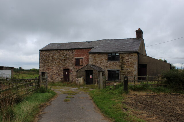
Alum House Wood Images

Images are sourced within 2km of 53.748456/-2.5580278 or Grid Reference SD6328. Thanks to Geograph Open Source API. All images are credited.

Samlesbury Bottoms Goosefoot Lane in the hamlet of Samlesbury Bottoms, tucked away in the narrow Darwen Valley.
Samlesbury Bottoms
Goosefoot Lane in the hamlet of Samlesbury Bottoms, tucked away in the narrow Darwen Valley.
View towards Crook Hey Wood
Waste Water Conduit over Trout Brook A pipe bridge which transports raw sewerage from Blackburn to the treatment facility at Salmesbury.
Waste Water Conduit over Trout Brook
A pipe bridge which transports raw sewerage from Blackburn to the treatment facility at Salmesbury.
Long Lane Descending towards the community of Pleasington
Long Lane
Descending towards the community of Pleasington
Bolton Hall Farm Grade II Listed Building, with an air of neglect around the buildings.
Bolton Hall Farm
Grade II Listed Building, with an air of neglect around the buildings.
Approaching Bolton Hall Farm Following the footpath from Samlesbury Bottoms and the Darwen Valley
Approaching Bolton Hall Farm
Following the footpath from Samlesbury Bottoms and the Darwen Valley
Highfields Farm Look of abandonment permeates this farmhouse
Highfields Farm
Look of abandonment permeates this farmhouse
Footpath heading South towards Hoghton
Road junction Gib Lane meets Roach Road and Goose Foot Lane.
Road junction
Gib Lane meets Roach Road and Goose Foot Lane.
Pleasington Priory churchyard Looking north from the church door.
Pleasington Priory churchyard
Looking north from the church door.
Gateway to Pleasington Priory The R.C. church is dedicated to Ss. Mary and John the Baptist. It is within the parish of St. Oscar Romero in the Diocese of Salford.
Gateway to Pleasington Priory
The R.C. church is dedicated to Ss. Mary and John the Baptist. It is within the parish of St. Oscar Romero in the Diocese of Salford.
The Butlers Arms The pub, in Pleasington, is currently closed and the lease is for sale.
The Butlers Arms
The pub, in Pleasington, is currently closed and the lease is for sale.
Car park entrance The church car park in Pleasington is off Priory Close.
Car park entrance
The church car park in Pleasington is off Priory Close.
A sculpture and flower bed at Pleasington Crematorium
The graveyard in Pleasington cemetery
Goosefoot Lane Descending towards Samlesbury Bottoms.
Goosefoot Lane
Descending towards Samlesbury Bottoms.
Samlesbury Bottoms Samlesbury Bridge in the foreground carries Goosefoot Lane over the River Darwen. Samlesbury Mill was originally a cotton mill, but is now home to light industries.
Samlesbury Bottoms
Samlesbury Bridge in the foreground carries Goosefoot Lane over the River Darwen. Samlesbury Mill was originally a cotton mill, but is now home to light industries.
Nab's Head The pub is now closed and is for sale.
Nab's Head
The pub is now closed and is for sale.
Show me another place!

Alum House Wood is located at Grid Ref: SD6328 (Lat: 53.748456, Lng: -2.5580278)

Unitary Authority: Blackburn with Darwen

Police Authority: Lancashire

What 3 Words

///expansion.foam.chef. Near Blackburn, Lancashire

Related Wikis

Pleasington Priory

Pleasington Priory, or the Church of St Mary and St John Baptist, is a Catholic church in the village of Pleasington, Lancashire, England. It is recorded...

Westholme School

Westholme School is a coeducational private school in Blackburn, Lancashire, England. Founded in 1923, it caters for boys and girls aged from 3 years to...

Pleasington

Pleasington () is a village and civil parish in the Borough of Blackburn with Darwen, Lancashire, England. It had a population of 467 in the 2001 census...
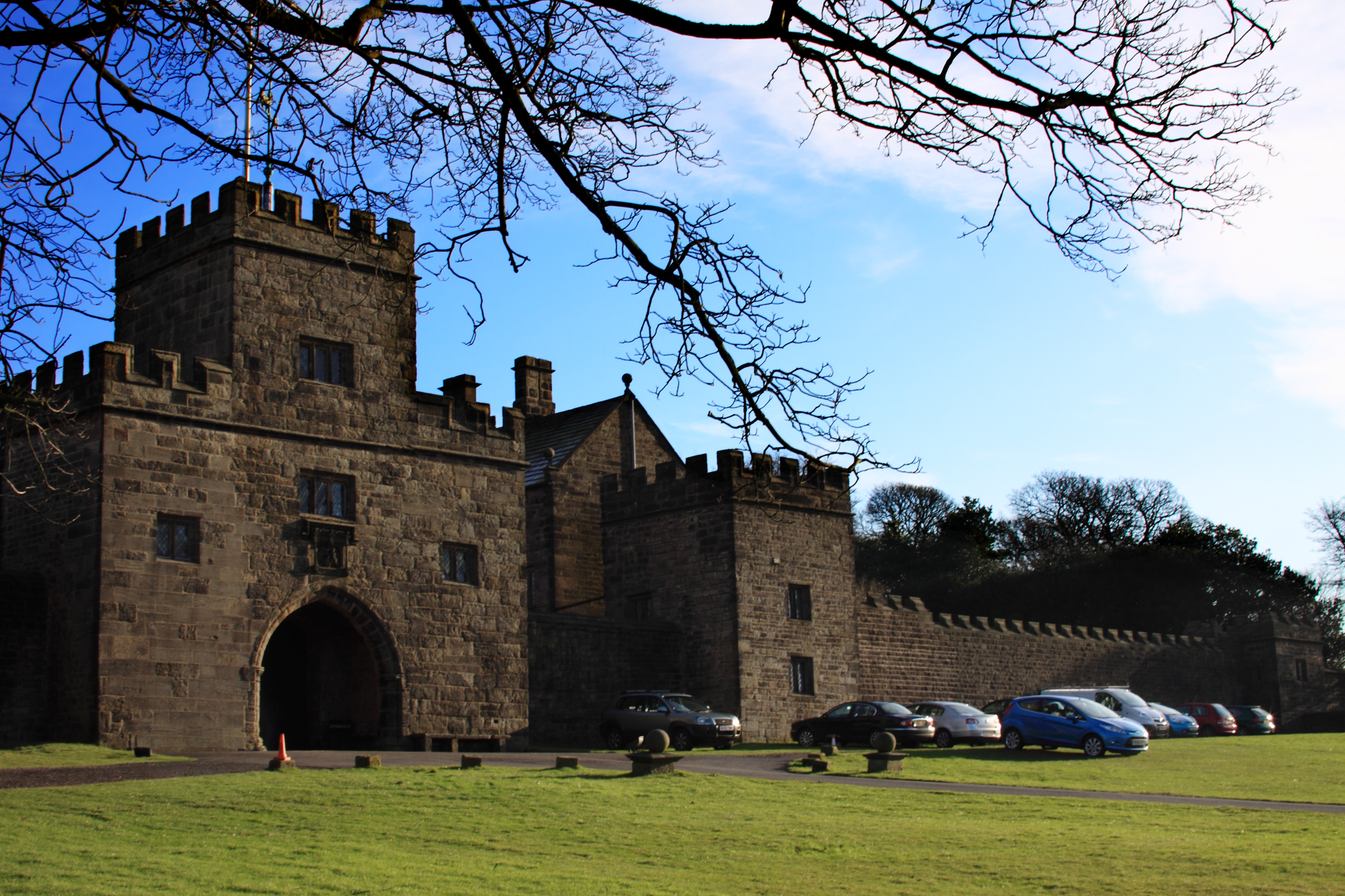
Hoghton Tower

Hoghton Tower is a fortified manor house two-thirds of a mile (1 km) east of the village of Hoghton, Lancashire, England, and standing on a hilltop site...

Nearby Amenities

Located within 500m of 53.748456,-2.5580278
Source: npe
Lat/Long: 53.7447522/-2.5618508
Source: npe
Lat/Long: 53.7450968/-2.5618199
Source: npe
Lat/Long: 53.7467106/-2.5623146
Source: npe
Lat/Long: 53.7467707/-2.5622033
Source: npe
Lat/Long: 53.7469418/-2.5622146
Source: npe
Lat/Long: 53.7483554/-2.5640529
Source: npe
Lat/Long: 53.7484982/-2.5645026
Barrier: stile
Lat/Long: 53.7448343/-2.5579851
Barrier: stile
Lat/Long: 53.7461521/-2.5532391
Barrier: stile
Lat/Long: 53.7463834/-2.5525854
Alum House Wood
Natural: wood
Lat/Long: 53.7482629/-2.5598653
The data included in this document is from www.openstreetmap.org. The data is made available under ODbL.

Have you been to Alum House Wood?

Leave your review of Alum House Wood below (or comments, questions and feedback).