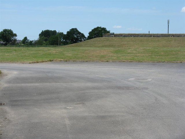
Alston Reservoir Number 1
Lake, Pool, Pond, Freshwater Marsh in Lancashire Ribble Valley
England
Alston Reservoir Number 1
Alston Reservoir Number 1, located in Lancashire, is a freshwater body of water that can be classified as a lake, pool, pond, and freshwater marsh. It is situated near the village of Alston, nestled within the beautiful countryside of Lancashire.
The reservoir covers an area of approximately 10 hectares and is surrounded by lush greenery and scenic landscapes. It was created as a result of the construction of a dam across a stream, which led to the accumulation of water in a low-lying area. The reservoir serves multiple purposes, including providing a water supply for the local community and supporting wildlife habitats.
The water in Alston Reservoir Number 1 is predominantly sourced from rainfall and surface runoff. It is characterized by its clear and calm nature, providing an inviting environment for various aquatic species. The water depth varies across different parts of the reservoir, with some areas being shallower and others deeper.
The surrounding vegetation consists of a mix of reeds, grasses, and other marsh plants, creating a freshwater marsh ecosystem. This diverse habitat supports a variety of plant and animal species, including waterfowl, fish, amphibians, and insects. Birdwatchers often visit the reservoir to observe the resident and migratory bird species that frequent the area.
The reservoir is also a popular spot for recreational activities such as fishing and boating. Fishing enthusiasts can enjoy angling for species like perch, roach, and carp, while boaters can explore the calm waters and appreciate the natural beauty of the surroundings.
Overall, Alston Reservoir Number 1 is a picturesque freshwater body that not only serves practical purposes but also provides a serene environment for both wildlife and humans to enjoy.
If you have any feedback on the listing, please let us know in the comments section below.
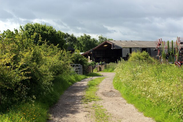
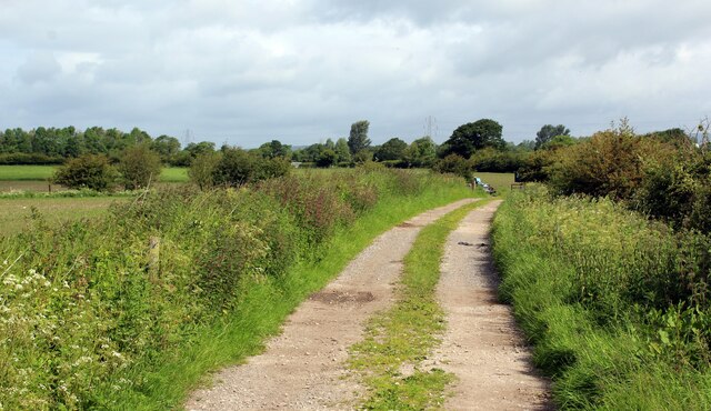
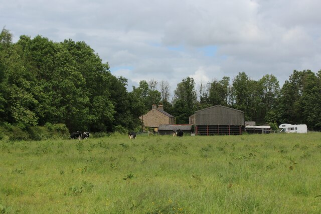
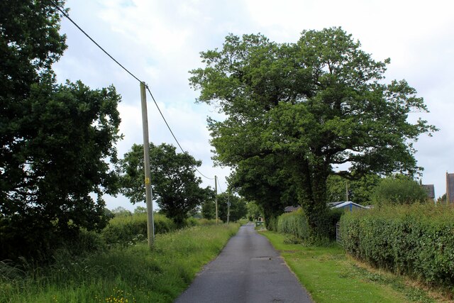
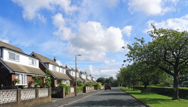
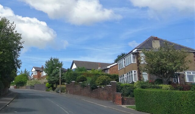
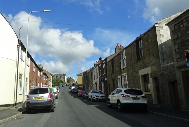
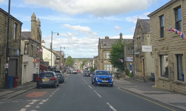
Alston Reservoir Number 1 Images
Images are sourced within 2km of 53.82086/-2.5926211 or Grid Reference SD6136. Thanks to Geograph Open Source API. All images are credited.

Alston Reservoir Number 1 is located at Grid Ref: SD6136 (Lat: 53.82086, Lng: -2.5926211)
Administrative County: Lancashire
District: Ribble Valley
Police Authority: Lancashire
What 3 Words
///warm.flags.exclusive. Near Longridge, Lancashire
Nearby Locations
Related Wikis
Hothersall
Hothersall is a civil parish in the Ribble Valley district, in Lancashire, England. The parish, which is on the north bank of the River Ribble, is rural...

St Cecilia's Roman Catholic High School
St Cecilia's Roman Catholic High School is a coeducational secondary school in Longridge in the English county of Lancashire. The school is named after...
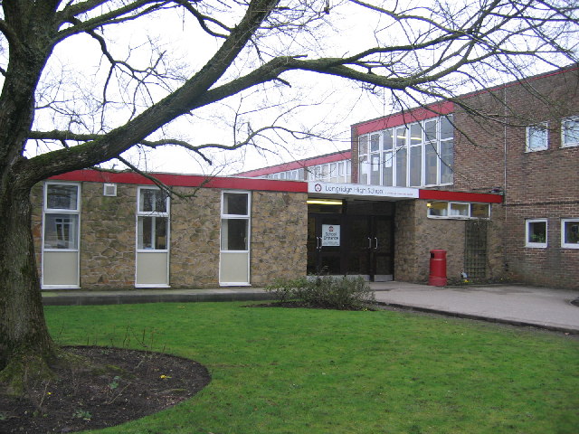
Longridge High School
Longridge High School is a coeducational secondary school located in Longridge in the English county of Lancashire.Previously a community school administered...
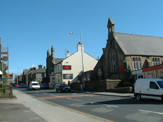
Longridge
Longridge is a market town and civil parish in the borough of Ribble Valley in Lancashire, England. It is situated 8 miles (13 km) north-east of the city...
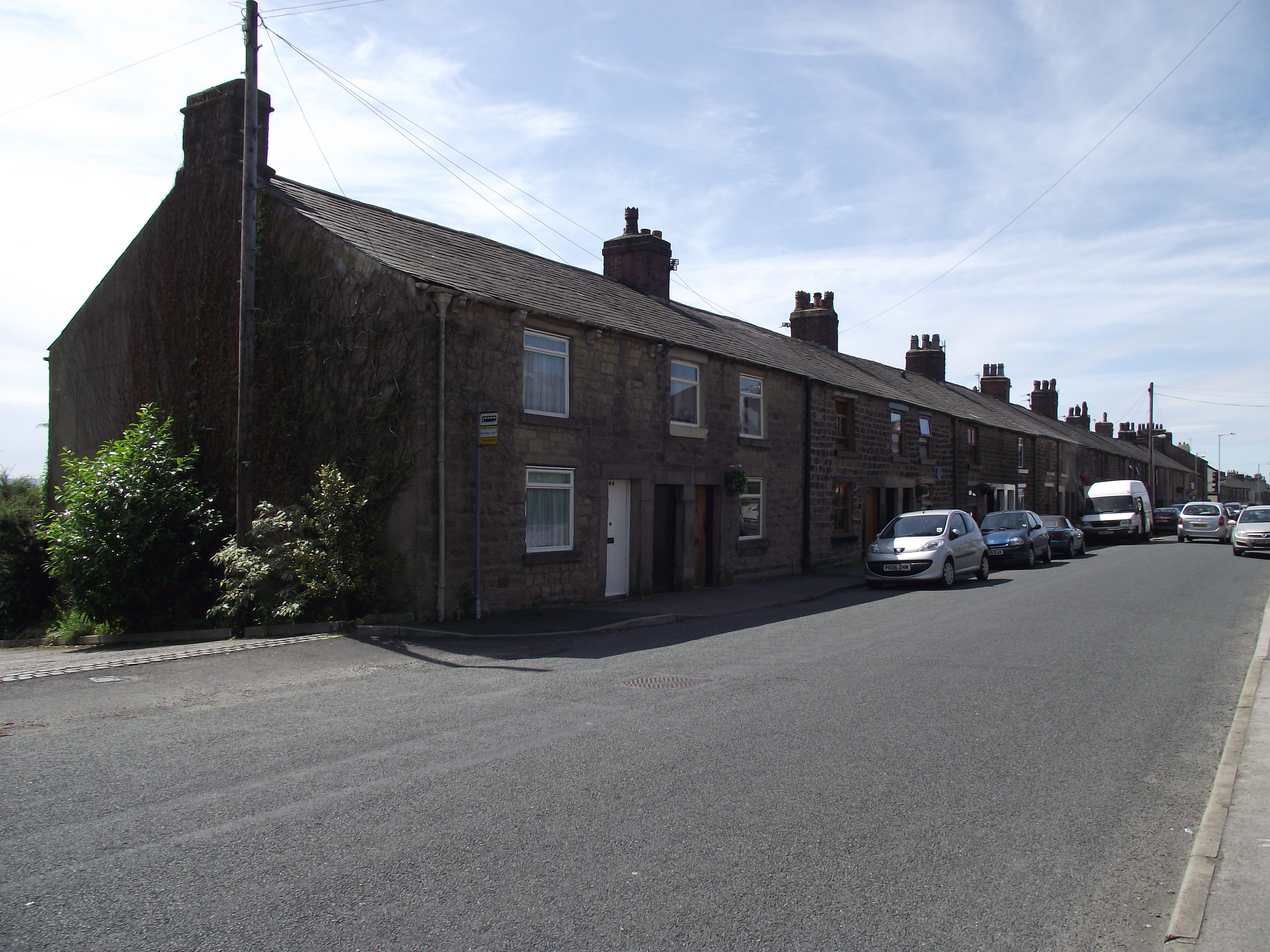
Club Row, Longridge
Club Row is a row of sandstone terraced houses on Higher Road in the English market town of Longridge, Lancashire, built between 1793 and 1804. Grade II...

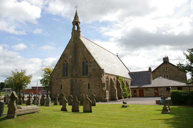
St Paul's Church, Longridge
St Paul's Church stands off Berry Lane, Longridge, Lancashire, England. It is an active Anglican parish church in the diocese of Blackburn. The church...
Longridge railway station (England)
Longridge railway station was a passenger terminus of the Preston and Longridge Railway. It served the town of Longridge in Lancashire, England. The line...

Longridge circuit
Longridge Circuit was a motor racing circuit built in the former Tootle Heights quarry close to Longridge, Lancashire, England. This circuit may be unique...
Nearby Amenities
Located within 500m of 53.82086,-2.5926211Have you been to Alston Reservoir Number 1?
Leave your review of Alston Reservoir Number 1 below (or comments, questions and feedback).