College Wood
Wood, Forest in Lancashire Ribble Valley
England
College Wood
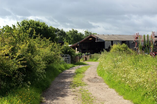
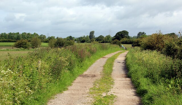
College Wood, located in Lancashire, England, is a picturesque and sprawling forest area known for its natural beauty and abundant wildlife. Covering an extensive area, the wood is home to a diverse range of flora and fauna, making it a popular destination for nature enthusiasts, hikers, and birdwatchers.
The wood is characterized by its dense canopy of mature trees, predominantly oak and beech, which provide a tranquil and shaded environment for visitors. The forest floor is carpeted with a rich variety of plants, including bluebells, wood anemones, and wild garlic, creating a vibrant and colorful backdrop.
College Wood also boasts a network of well-maintained walking trails that wind through the forest, allowing visitors to explore its hidden gems. These trails offer stunning views of the surrounding countryside and provide an opportunity to observe the wood's thriving wildlife population. Bird species such as woodpeckers, owls, and various songbirds can be spotted, along with small mammals like squirrels and rabbits.
In addition to its natural beauty, College Wood holds historical significance. The wood is said to have been named after a nearby college that once occupied the area. Today, remnants of this college can still be seen, adding an intriguing element to the wood's charm.
Whether one seeks a peaceful retreat, an opportunity to connect with nature, or a chance to delve into the area's history, College Wood in Lancashire offers a truly enriching experience for all who visit.
If you have any feedback on the listing, please let us know in the comments section below.
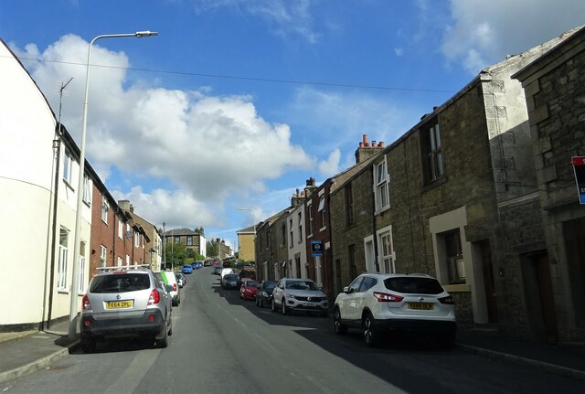
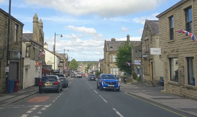
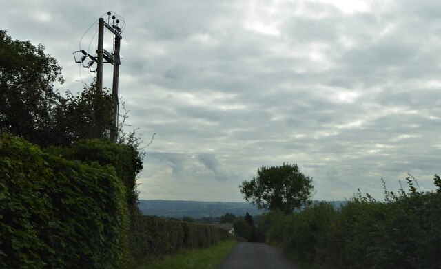
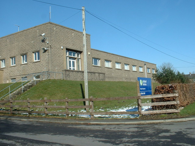
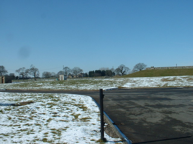
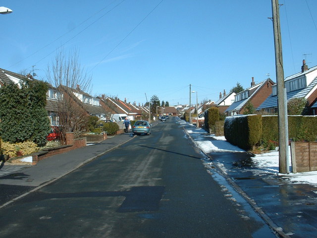
College Wood Images
Images are sourced within 2km of 53.821513/-2.5859009 or Grid Reference SD6136. Thanks to Geograph Open Source API. All images are credited.


College Wood is located at Grid Ref: SD6136 (Lat: 53.821513, Lng: -2.5859009)
Administrative County: Lancashire
District: Ribble Valley
Police Authority: Lancashire
What 3 Words
///surcharge.these.greet. Near Longridge, Lancashire
Nearby Locations
Related Wikis
Hothersall
Hothersall is a civil parish in the Ribble Valley district, in Lancashire, England. The parish, which is on the north bank of the River Ribble, is rural...
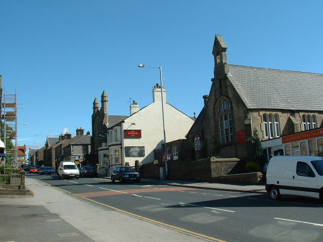
Longridge
Longridge is a market town and civil parish in the borough of Ribble Valley in Lancashire, England. It is situated 8 miles (13 km) north-east of the city...
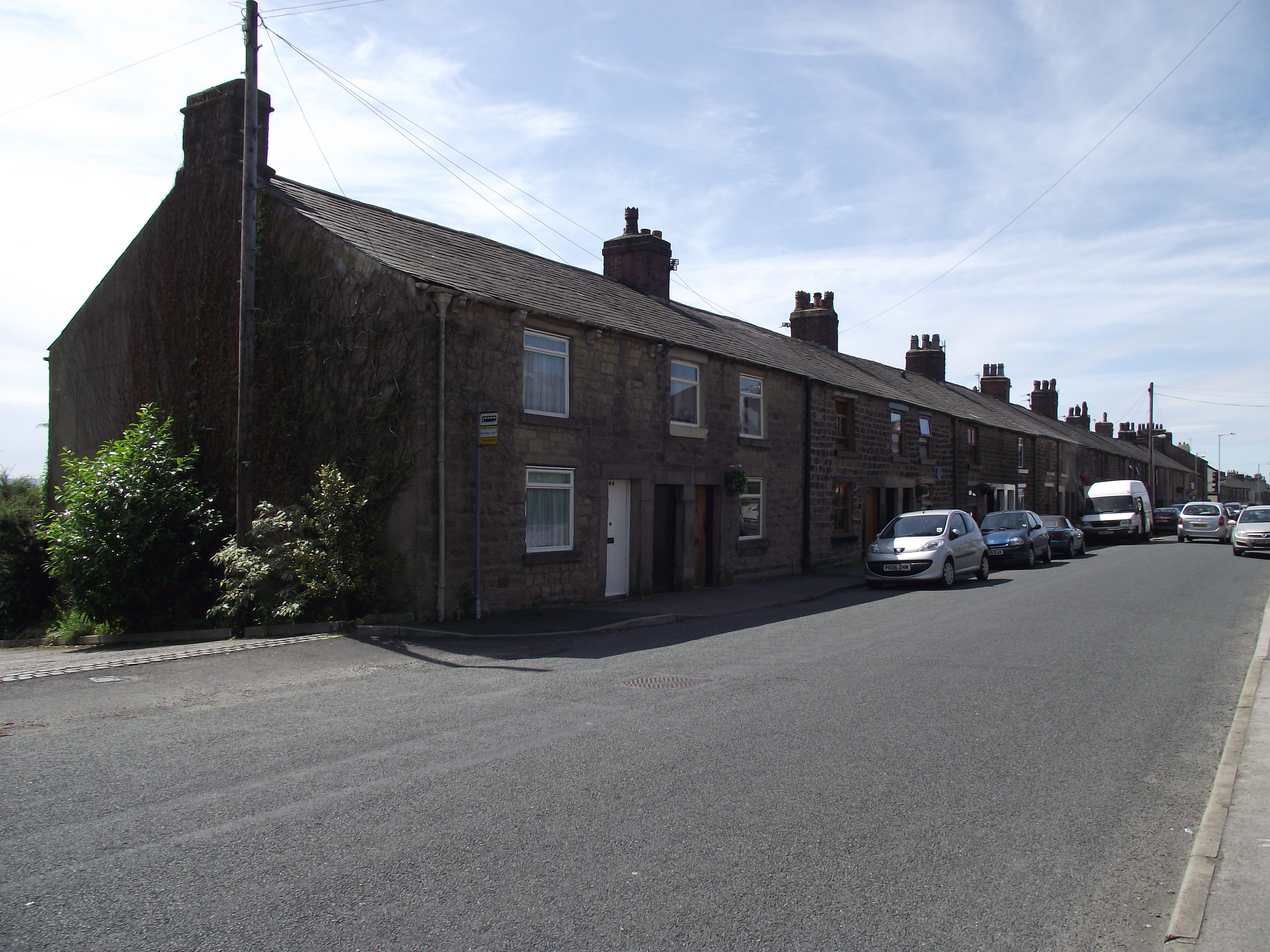
Club Row, Longridge
Club Row is a row of sandstone terraced houses on Higher Road in the English market town of Longridge, Lancashire, built between 1793 and 1804. Grade II...

St Cecilia's Roman Catholic High School
St Cecilia's Roman Catholic High School is a coeducational secondary school in Longridge in the English county of Lancashire. The school is named after...
Nearby Amenities
Located within 500m of 53.821513,-2.5859009Have you been to College Wood?
Leave your review of College Wood below (or comments, questions and feedback).