Comber Mere

Lake, Pool, Pond, Freshwater Marsh in Cheshire

England

Comber Mere

Pinsley Green Near the railway bridge at Pinsley Green.
Pinsley Green Credit: Wayland Smith

Comber Mere is a picturesque freshwater lake located in Cheshire, England. Nestled in the heart of the rural landscape, it is a popular destination for nature lovers and outdoor enthusiasts. The lake covers an area of approximately 36 hectares and is surrounded by lush greenery and diverse wildlife.

The lake, also known as a mere, is formed by a natural spring and is classified as a Site of Special Scientific Interest (SSSI) due to its ecological significance. Comber Mere is known for its crystal-clear waters, which are home to a variety of fish species, including perch, pike, and roach, making it a haven for fishing enthusiasts.

The surrounding area of Comber Mere is a haven for birdwatchers, as it attracts a wide range of bird species throughout the year. Visitors can spot magnificent species such as herons, kingfishers, swans, and various ducks, making it a perfect spot for birdwatching and wildlife photography.

The lake is also adorned with beautiful water lilies and other aquatic plants, adding to its scenic beauty. Its tranquil atmosphere and idyllic surroundings make it a popular spot for leisurely walks, picnics, and family outings.

Comber Mere offers a variety of recreational activities, including boating and kayaking. Visitors can rent boats and explore the lake's calm waters, enjoying the serenity and natural beauty it offers.

Overall, Comber Mere is a stunning freshwater lake that provides a peaceful retreat for nature enthusiasts and those seeking respite from the hustle and bustle of everyday life. Whether it's fishing, birdwatching, or simply enjoying the tranquil scenery, this hidden gem in Cheshire offers something for everyone.

If you have any feedback on the listing, please let us know in the comments section below.
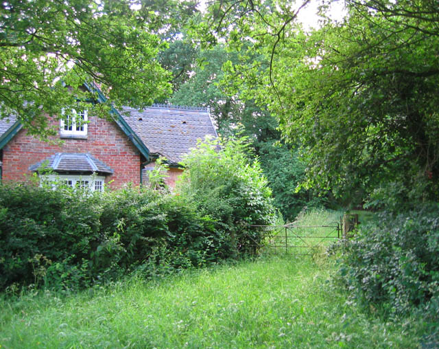
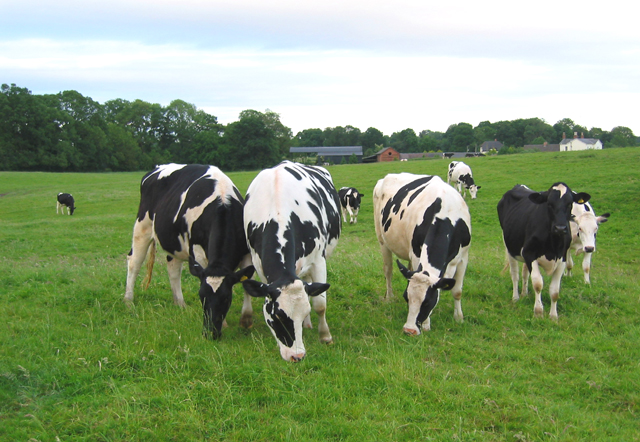
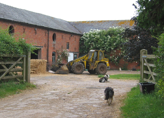
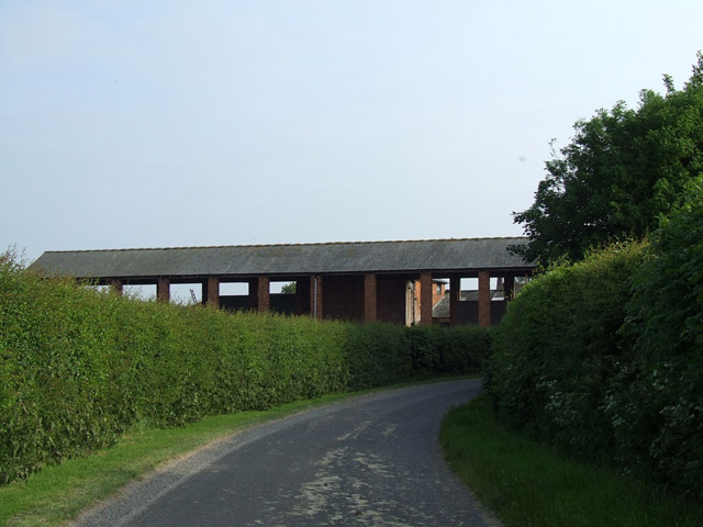
Comber Mere Images

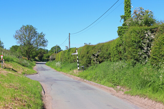
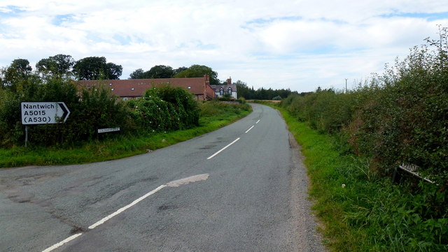
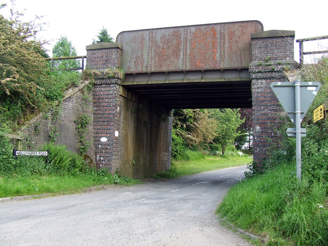
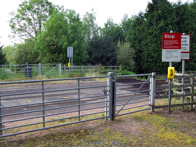
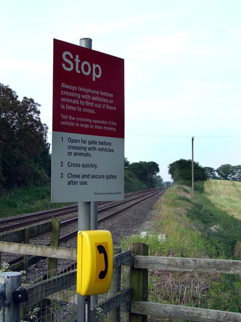
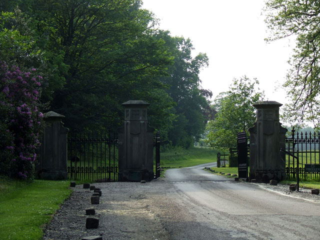
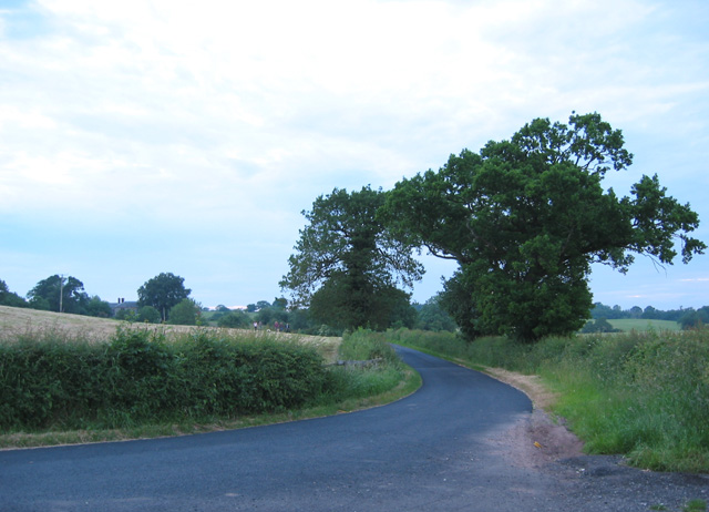
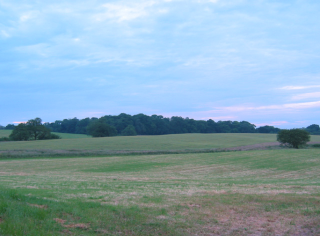
Images are sourced within 2km of 52.994468/-2.6189196 or Grid Reference SJ5844. Thanks to Geograph Open Source API. All images are credited.

Pinsley Green Near the railway bridge at Pinsley Green.
Pinsley Green
Near the railway bridge at Pinsley Green.
A5015, Goldsmith Lane Taken from its southern junction with the A525 Whitchurch Road, looking north towards its intersection with the A530 Nantwich Road (just out of sight around the bend), only 250m away.
Is this the shortest A Road in the UK?
A5015, Goldsmith Lane
Taken from its southern junction with the A525 Whitchurch Road, looking north towards its intersection with the A530 Nantwich Road (just out of sight around the bend), only 250m away. Is this the shortest A Road in the UK?
Railway bridge A railway bridge near to Yew tree farm
Railway bridge
A railway bridge near to Yew tree farm
Level crossing near to Marley Hall A level crossing that does not appear to be used by vehicles as the gates are locked and the grass very long. Pedestrians can still cross through the smaller gates
Level crossing near to Marley Hall
A level crossing that does not appear to be used by vehicles as the gates are locked and the grass very long. Pedestrians can still cross through the smaller gates
Warning sign at level crossing A warning sign and telephone at the level crossing near to Marley Hall
Warning sign at level crossing
A warning sign and telephone at the level crossing near to Marley Hall
Monument at Hollyhurst A monument on top of a small hill at Hollyhurst
Monument at Hollyhurst
A monument on top of a small hill at Hollyhurst
Sheep in a field Sheep in a field south of Marley green
Sheep in a field
Sheep in a field south of Marley green
Entrance gates to Combermere Abbey Combermere Abbey is only open for Abbey tours on Thursday afternoons at 12.00, 2.00 and 4.00pm between April 6th and September 28th
Entrance gates to Combermere Abbey
Combermere Abbey is only open for Abbey tours on Thursday afternoons at 12.00, 2.00 and 4.00pm between April 6th and September 28th
Obelisk, Combermere Park Obelisk, dated 1890, at the edge of Combermere Park. It commemorates Stapleton Cotton, 1st Viscount Combermere.
Obelisk, Combermere Park
Obelisk, dated 1890, at the edge of Combermere Park. It commemorates Stapleton Cotton, 1st Viscount Combermere.
Hewitt's Moss The small wood of Hewitt's Moss is surrounded by fallow fields and cattle pasture. The Combermere obelisk is visible on the hill in the background
Hewitt's Moss
The small wood of Hewitt's Moss is surrounded by fallow fields and cattle pasture. The Combermere obelisk is visible on the hill in the background
Inquisitive calves near Adamley Pool The calves came to watch the geographing. The wood and marsh, Adamley Pool, is just to the right
Inquisitive calves near Adamley Pool
The calves came to watch the geographing. The wood and marsh, Adamley Pool, is just to the right
Lane near Blackpark Farm One of the lanes from Whitchurch to Wrenbury. The lane takes a 90 degree turn north round a field boundary at this point, and a bridleway continues the line of the road eastwards (out of view on right) towards Steel's Rough Plantation. This particular lane has recently been resurfaced, making a change from the potholes of the surrounding lanes. The building whose chimneys are visible on the left is Blackpark Farm, the only habitation in this gridsquare
Lane near Blackpark Farm
One of the lanes from Whitchurch to Wrenbury. The lane takes a 90 degree turn north round a field boundary at this point, and a bridleway continues the line of the road eastwards (out of view on right) towards Steel's Rough Plantation. This particular lane has recently been resurfaced, making a change from the potholes of the surrounding lanes. The building whose chimneys are visible on the left is Blackpark Farm, the only habitation in this gridsquare
Reflections on Oss Mere The northern head of Oss Mere, showing one of the many fishing piers
Reflections on Oss Mere
The northern head of Oss Mere, showing one of the many fishing piers
Northern head of Oss Mere Taken from the Wrenbury to Whitchurch road. One of the many fishing piers is visible on the left
Northern head of Oss Mere
Taken from the Wrenbury to Whitchurch road. One of the many fishing piers is visible on the left
View towards Larder Wood The east side of the Whitchurch to Wrenbury road is predominantly undulating pasture land. This shows the view towards Larder Wood from the road just north of Blackpark Farm
View towards Larder Wood
The east side of the Whitchurch to Wrenbury road is predominantly undulating pasture land. This shows the view towards Larder Wood from the road just north of Blackpark Farm
Gate into Steel's Rough Plantation Several public footpaths run through Steel's Rough plantation, on the edge of Combermere Park. The plantation is an attractive mixture of existing oaks and newer conifer plantation. The house shown may have once been a gatehouse to Combermere Park
Gate into Steel's Rough Plantation
Several public footpaths run through Steel's Rough plantation, on the edge of Combermere Park. The plantation is an attractive mixture of existing oaks and newer conifer plantation. The house shown may have once been a gatehouse to Combermere Park
Cows by Steel's Rough Plantation The trees on the left form the south-west edge of Steel's Rough Plantation. The farm in the distance is Shropshire Gate Farm
Cows by Steel's Rough Plantation
The trees on the left form the south-west edge of Steel's Rough Plantation. The farm in the distance is Shropshire Gate Farm
Sheep dogs at Wood Farm Brick barns with circular windows and crosses and lozenges for ventilation are typical of this area
Sheep dogs at Wood Farm
Brick barns with circular windows and crosses and lozenges for ventilation are typical of this area
Show me another place!

Comber Mere is located at Grid Ref: SJ5844 (Lat: 52.994468, Lng: -2.6189196)

Unitary Authority: Cheshire East

Police Authority: Cheshire

What 3 Words

///spindles.planting.vaulting. Near Whitchurch, Shropshire

Related Wikis

Combermere Abbey

Combermere Abbey is a former monastery, later a country house, near Burleydam, between Nantwich, Cheshire and Whitchurch in Shropshire, England, located...

Brankelow Cottage

Brankelow Cottage, also known as Brankelow Folly and Brankelow House, is a folly on the Combermere Abbey estate, in Cheshire, England. It is listed at...

Dodd's Green

Dodd's Green (also Dod's Green, Dodds Green and Doddsgreen) is a small settlement within the civil parish of Newhall in the Cheshire East division of the...

Burleydam

Burleydam is a small English village in the civil parish of Dodcott cum Wilkesley in the unitary authority of Cheshire East and the ceremonial county of...

Newhall, Cheshire

Newhall is a village (at SJ609454) and civil parish in the unitary authority of Cheshire East and the ceremonial county of Cheshire, England. The village...

St Mary's and St Michael's Church, Burleydam

St Mary's and St Michael's Church is in the village of Burleydam in the civil parish of Dodcott cum Wilkesley, Cheshire, England. The church is some 1...

St Michael's Church, Marbury

St Michael's Church, also known as St Michael and All Angels, stands on a small rise overlooking Big Mere in the village of Marbury, Cheshire, England...

Marbury, Cheshire

Marbury is a small village located at SJ560457 in the civil parish of Marbury and District, formerly Marbury cum Quoisley, within the unitary authority...

Have you been to Comber Mere?

Leave your review of Comber Mere below (or comments, questions and feedback).