Cockburn's Pool

Lake, Pool, Pond, Freshwater Marsh in Roxburghshire

Scotland

Cockburn's Pool

Muddy entrance to a field This field, by the road to Third, is near Bemersyde East End Farm.
Muddy entrance to a field Credit: Walter Baxter

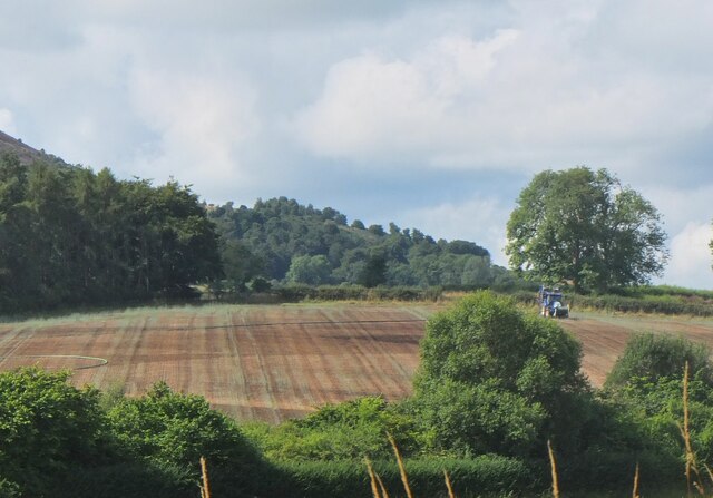
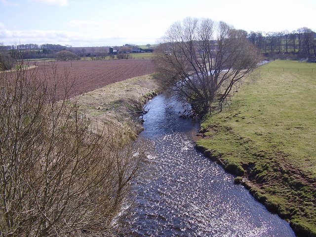
Cockburn's Pool, located in Roxburghshire, is a picturesque freshwater marsh nestled in the stunning Scottish Borders region. With its tranquil ambiance and breathtaking natural beauty, it serves as a haven for both wildlife and visitors alike.

The pool covers an area of approximately 5 acres, offering a serene and idyllic setting. Surrounded by lush greenery and rolling hills, it provides a peaceful escape from the hustle and bustle of everyday life. The crystal-clear waters of the pool are home to a diverse range of aquatic plants and animals, making it a significant ecological site.

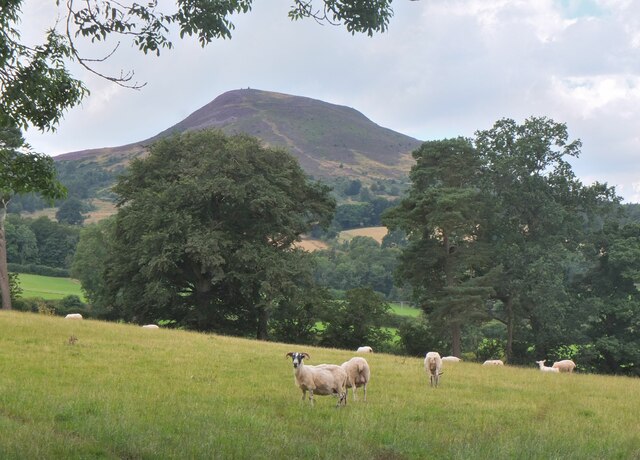
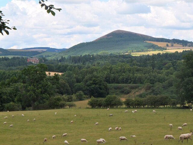
The pool is teeming with various species of birds, including herons, ducks, and swans, making it a popular spot for birdwatching enthusiasts. Its marshy surroundings attract an abundance of other wildlife too, such as otters, water voles, and dragonflies.

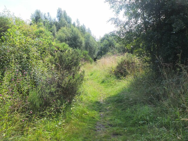
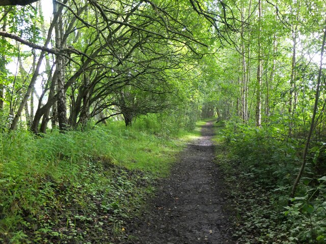
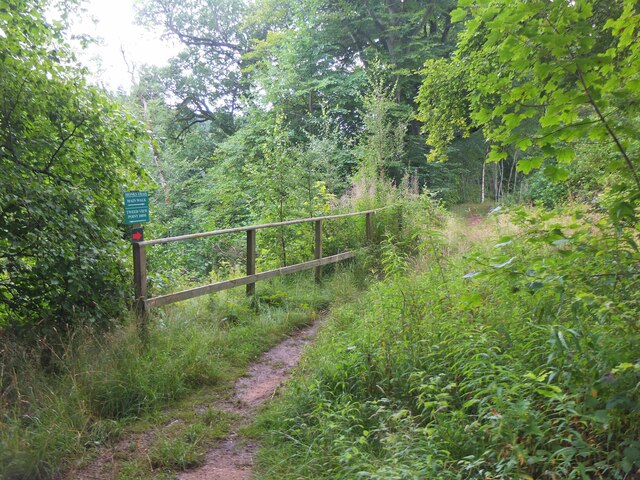
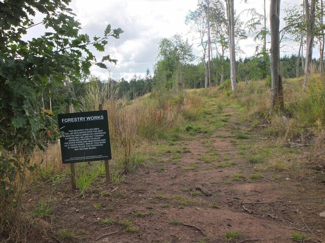
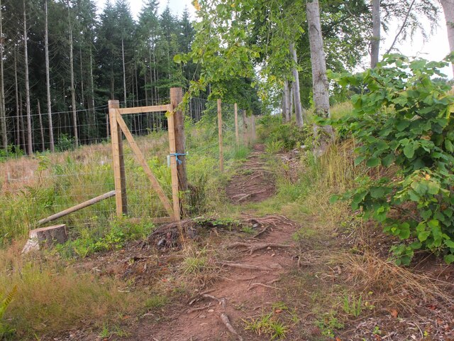
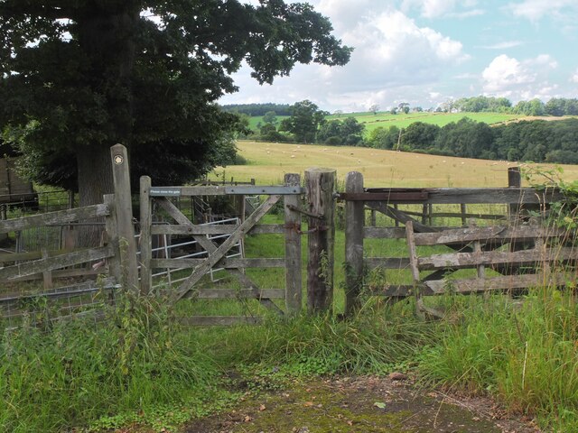
Visitors to Cockburn's Pool can enjoy leisurely walks along the marked trails that wind their way around the pool's edge, offering stunning views and opportunities for wildlife observation. There are also designated picnic areas where visitors can relax and immerse themselves in the tranquility of the surroundings.

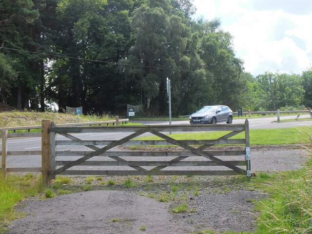
The pool is easily accessible, with ample parking available nearby. It is open to the public year-round, with no admission fees. However, it is important to note that swimming and fishing are not permitted in Cockburn's Pool to preserve its delicate ecosystem.

In summary, Cockburn's Pool in Roxburghshire is a captivating freshwater marsh that offers a peaceful retreat for nature lovers. Its scenic beauty and diverse wildlife make it a must-visit destination for those seeking solace in the embrace of nature.

If you have any feedback on the listing, please let us know in the comments section below.

Cockburn's Pool Images

Images are sourced within 2km of 55.598853/-2.6593383 or Grid Reference NT5834. Thanks to Geograph Open Source API. All images are credited.

Muddy entrance to a field This field, by the road to Third, is near Bemersyde East End Farm.
Muddy entrance to a field
This field, by the road to Third, is near Bemersyde East End Farm.
Ploughed field near Spadislee
Signposted path to Craighouse
Farm road from Bemersyde to Third. In the Scottish Borders.
Farm road from Bemersyde to Third.
In the Scottish Borders.
Aged beech trunk
Aged beech trunk
Cattle grid on the Spadislee track
Shady lane to Craighouse
Tractor laying a pipe The tractor was reversing around the field, unreeling a hosepipe from a drum held at the front, a skilled piece of driving. Presumably the pipe is for irrigation.
Tractor laying a pipe
The tractor was reversing around the field, unreeling a hosepipe from a drum held at the front, a skilled piece of driving. Presumably the pipe is for irrigation.
Former Waverley Line near Broomhill The line from Melrose to Hawick, somewhere near the junction with the former Berwickshire railway route from the Leaderfoot Viaduct. Now it is simply a slightly overgrown footpath signposted 'Old Melrose', leading to the A68 in a few hundred metres.
Former Waverley Line near Broomhill
The line from Melrose to Hawick, somewhere near the junction with the former Berwickshire railway route from the Leaderfoot Viaduct. Now it is simply a slightly overgrown footpath signposted 'Old Melrose', leading to the A68 in a few hundred metres.
Former Waverley Line near Broomhill (2) The line a little further along; from here the next station was Newtown St Boswells. See also Walter Baxter's photograph <a href="https://www.geograph.org.uk/photo/588559">NT5733 : Dismantled railway line</a> taken in 2007.
Former Waverley Line near Broomhill (2)
The line a little further along; from here the next station was Newtown St Boswells. See also Walter Baxter's photograph NT5733 : Dismantled railway line taken in 2007.
Former Waverley Line and A68 road Here the A68 cuts across the former railway route to Hawick and Carlisle. Across the road is the entrance to Old Melrose and the tearoom at the former Ravenswood dairy.
Former Waverley Line and A68 road
Here the A68 cuts across the former railway route to Hawick and Carlisle. Across the road is the entrance to Old Melrose and the tearoom at the former Ravenswood dairy.
Monks Trail, Old Melrose The name recalls the monastery established here in the 7th century, where St Cuthbert became the Prior before travelling to Lindisfarne. The path keeps above the River Tweed on its west bank before returning to the tearoom by a field edge path.
Monks Trail, Old Melrose
The name recalls the monastery established here in the 7th century, where St Cuthbert became the Prior before travelling to Lindisfarne. The path keeps above the River Tweed on its west bank before returning to the tearoom by a field edge path.
Path in felled woodland, Old Melrose The notice informs that the area is to be replanted and new paths and ponds with views to the Tweed will be constructed.
Path in felled woodland, Old Melrose
The notice informs that the area is to be replanted and new paths and ponds with views to the Tweed will be constructed.
Path by plantation edge, Old Melrose The Monks Trail in the Ravenswood Estate.
Path by plantation edge, Old Melrose
The Monks Trail in the Ravenswood Estate.
Path to Eildon village A gate near the A68 for a path signposted to Eildon; it follows a field edge towards a mobile phone mast, then to Eildon Mains farm.
Path to Eildon village
A gate near the A68 for a path signposted to Eildon; it follows a field edge towards a mobile phone mast, then to Eildon Mains farm.
Sheep near Eildon In the background is the steep-sided Eildon Hill North.
Sheep near Eildon
In the background is the steep-sided Eildon Hill North.
Phone mast near Eildon In farmland west of the A68.
Phone mast near Eildon
In farmland west of the A68.
Sheep and Black Hill Sheep grazing in a pasture near Eildon with Black Hill (314m) beyond. Like the nearby Eildon Hills, this is of volcanic origin.
Sheep and Black Hill
Sheep grazing in a pasture near Eildon with Black Hill (314m) beyond. Like the nearby Eildon Hills, this is of volcanic origin.
Show me another place!

Cockburn's Pool is located at Grid Ref: NT5834 (Lat: 55.598853, Lng: -2.6593383)

Unitary Authority: The Scottish Borders

Police Authority: The Lothians and Scottish Borders

What 3 Words

///momentous.large.retire. Near Newtown St Boswells, Scottish Borders

Related Wikis

Scott's View

Scott's View is a viewpoint in the Scottish Borders, overlooking the valley of the River Tweed, which is reputed to be one of the favourite views of Sir...
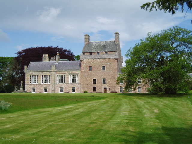
Bemersyde House

Bemersyde House is a historic house in Roxburghshire, Scotland. The nearest towns are Newtown St. Boswells, Melrose, and Dryburgh. The William Wallace...

Drygrange Old Bridge

The Drygrange Old Bridge is a disused road bridge over the River Tweed near Melrose in the Scottish Borders. == History == It was built between 1776 and...

Leader Water

Leader Water is a small tributary of the River Tweed in Lauderdale in the Scottish Borders. It flows southwards from the Lammermuir Hills through the towns...

Bemersyde

Bemersyde is a hamlet in the Mertoun parish of Berwickshire, in the Scottish Borders. It sits on the left bank of the River Tweed, about three miles east...

Leaderfoot Viaduct

The Leaderfoot Viaduct, also known as the Drygrange Viaduct, is a railway viaduct over the River Tweed near Melrose in the Scottish Borders. == History... ==

Statue of William Wallace, Bemersyde

The William Wallace Statue near the grounds of the Bemersyde estate, near Melrose in the Scottish Borders is a statue commemorating William Wallace. It...

St Andrew's College, Drygrange

St Andrew's College, Drygrange, located near Melrose, Scotland, was a Roman Catholic seminary founded in 1953 and closed in 1986. == History == === Foundation... ===

Nearby Amenities

Located within 500m of 55.598853,-2.6593383
Cafe
Old Melrose Tea Rooms
Lat/Long: 55.59551/-2.6619144
The Border Reader Bookshop
Shop: books
Lat/Long: 55.5955562/-2.6619528
Gledswood
Place: hamlet
Lat/Long: 55.602483/-2.6597114
Old Melrose
Place: hamlet
Lat/Long: 55.5978451/-2.6549232
Old Melrose Farm
Place: isolated_dwelling
Lat/Long: 55.5953652/-2.66201
Chapel Knoll
Place: locality
Lat/Long: 55.5984487/-2.6543716
Site of St. Cuthbert's Chapel
Historic: archaeological_site
Lat/Long: 55.5983252/-2.6543145
Tourism: viewpoint
Lat/Long: 55.5963118/-2.6587939
Power: pole
Lat/Long: 55.5955192/-2.6637595
Power: pole
Lat/Long: 55.5957119/-2.6626601
Power: pole
Lat/Long: 55.5959362/-2.6613061
Power: pole
Lat/Long: 55.5961649/-2.6604077
Power: pole
Lat/Long: 55.5963921/-2.65955
Power: pole
Lat/Long: 55.5970967/-2.657832
Power: pole
Lat/Long: 55.5973843/-2.65701
Power: pole
Lat/Long: 55.597682/-2.6562057
Power: pole
Lat/Long: 55.6029417/-2.6590155
Power: pole
Lat/Long: 55.6026226/-2.6597485
Power: pole
Lat/Long: 55.6023321/-2.6602524
The data included in this document is from www.openstreetmap.org. The data is made available under ODbL.

Have you been to Cockburn's Pool?

Leave your review of Cockburn's Pool below (or comments, questions and feedback).