The Bullers

Lake, Pool, Pond, Freshwater Marsh in Roxburghshire

Scotland

The Bullers

Barley field below the Eildon Hills, Melrose A field on The Annay beside the Tweed with Eildon Hill North (L) and Mid Hill (R). The houses are on the eastern fringe of Melrose.
Barley field below the Eildon Hills, Melrose Credit: Jim Barton

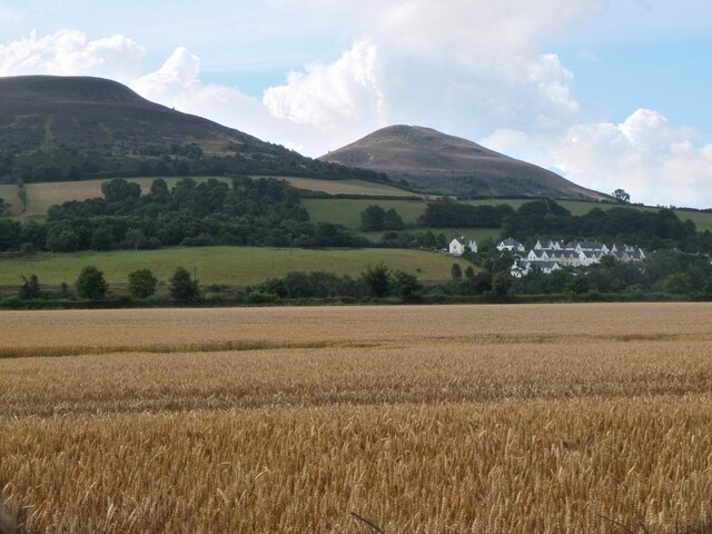
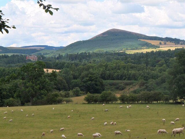
The Bullers, located in Roxburghshire, is a picturesque area known for its diverse freshwater habitats, including a lake, pool, pond, and freshwater marsh. Situated amidst rolling hills and lush greenery, this natural haven offers a rich ecosystem that supports a wide variety of flora and fauna.

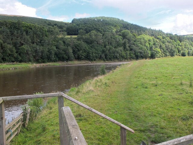
The Bullers Lake is the largest water body in the area, covering a significant expanse. It is surrounded by dense vegetation, including reeds and water lilies, providing a suitable habitat for several species of birds, such as ducks, geese, and swans. The lake also serves as a feeding ground for numerous fish species, including trout and pike, making it a popular spot for anglers.

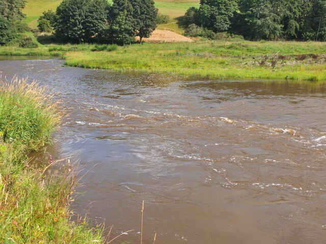
Adjacent to the lake, the Bullers Pool is a smaller body of water, characterized by its tranquil and secluded atmosphere. The pool is home to an array of aquatic plants and insects, attracting dragonflies, damselflies, and various water birds.

In close proximity to the pool, the Bullers Pond showcases a different water habitat. This smaller, shallower body of water is surrounded by vegetation, including reeds and rushes. It provides an ideal breeding ground for amphibians like frogs and newts, as well as a habitat for insects such as water beetles and pond skaters.

Lastly, the Bullers Freshwater Marsh is a unique wetland area, characterized by its nutrient-rich soil and marsh plants. This habitat supports a wide range of species, including waterfowl, wading birds, and small mammals. The marsh acts as a natural filter, purifying water and providing an essential ecosystem service.

Overall, The Bullers in Roxburghshire boasts a diverse range of freshwater habitats, offering a sanctuary for various plant and animal species. Visitors can immerse themselves in the tranquility of the lakes, pools, ponds, and marshes, while appreciating the beauty and ecological importance of this natural gem.

If you have any feedback on the listing, please let us know in the comments section below.

The Bullers Images

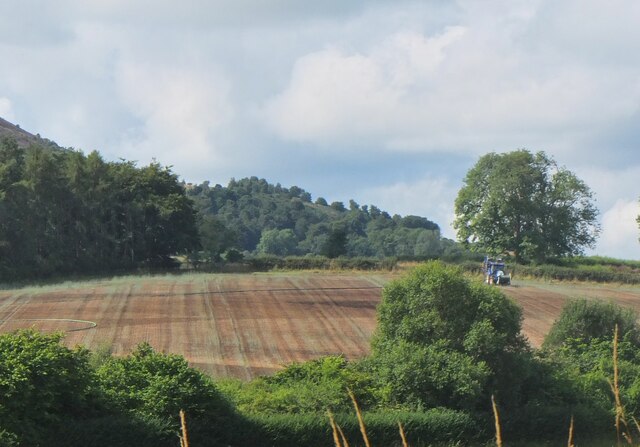
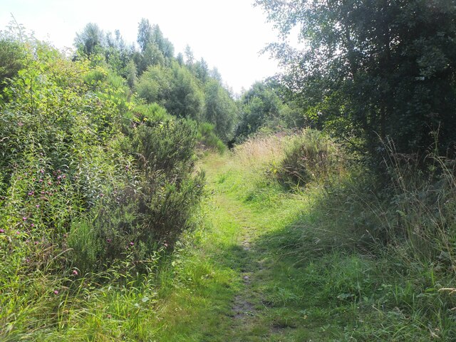
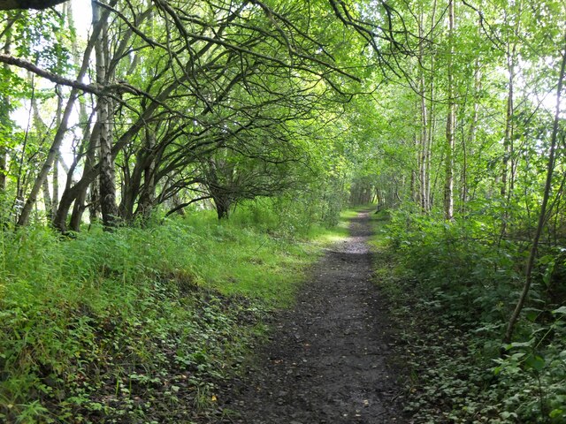
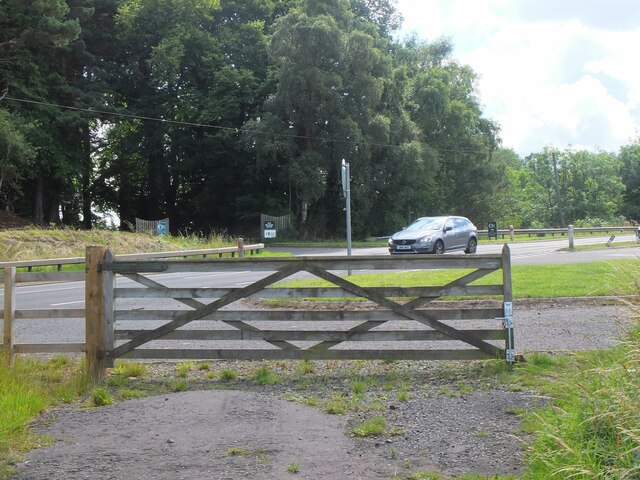
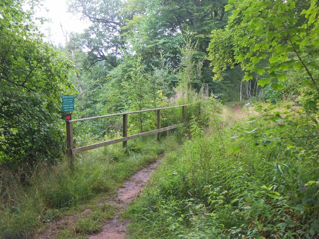
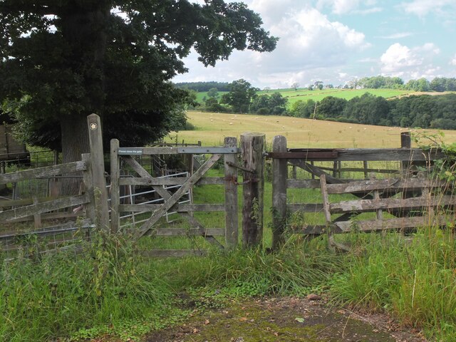
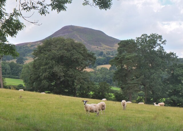
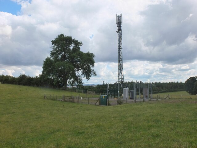
Images are sourced within 2km of 55.603059/-2.6885491 or Grid Reference NT5634. Thanks to Geograph Open Source API. All images are credited.

Barley field below the Eildon Hills, Melrose A field on The Annay beside the Tweed with Eildon Hill North (L) and Mid Hill (R). The houses are on the eastern fringe of Melrose.
Barley field below the Eildon Hills, Melrose
A field on The Annay beside the Tweed with Eildon Hill North (L) and Mid Hill (R). The houses are on the eastern fringe of Melrose.
The Tweed east of Melrose The Tweed seen from an elevated stile on the riverside path to Newstead.
The Tweed east of Melrose
The Tweed seen from an elevated stile on the riverside path to Newstead.
Yesterday's rain, River Tweed Very heavy showers yesterday have increased the flow and coloured the water with suspended mud, here in a narrowing of the river near Newstead.
Yesterday's rain, River Tweed
Very heavy showers yesterday have increased the flow and coloured the water with suspended mud, here in a narrowing of the river near Newstead.
Main Street, Newstead A village close to the Trimontium Roman site east of Melrose.
Main Street, Newstead
A village close to the Trimontium Roman site east of Melrose.
Tractor laying a pipe The tractor was reversing around the field, unreeling a hosepipe from a drum held at the front, a skilled piece of driving. Presumably the pipe is for irrigation.
Tractor laying a pipe
The tractor was reversing around the field, unreeling a hosepipe from a drum held at the front, a skilled piece of driving. Presumably the pipe is for irrigation.
Former Waverley Line near Broomhill The line from Melrose to Hawick, somewhere near the junction with the former Berwickshire railway route from the Leaderfoot Viaduct. Now it is simply a slightly overgrown footpath signposted 'Old Melrose', leading to the A68 in a few hundred metres.
Former Waverley Line near Broomhill
The line from Melrose to Hawick, somewhere near the junction with the former Berwickshire railway route from the Leaderfoot Viaduct. Now it is simply a slightly overgrown footpath signposted 'Old Melrose', leading to the A68 in a few hundred metres.
Former Waverley Line near Broomhill (2) The line a little further along; from here the next station was Newtown St Boswells. See also Walter Baxter's photograph <a href="https://www.geograph.org.uk/photo/588559">NT5733 : Dismantled railway line</a> taken in 2007.
Former Waverley Line near Broomhill (2)
The line a little further along; from here the next station was Newtown St Boswells. See also Walter Baxter's photograph NT5733 : Dismantled railway line taken in 2007.
Former Waverley Line and A68 road Here the A68 cuts across the former railway route to Hawick and Carlisle. Across the road is the entrance to Old Melrose and the tearoom at the former Ravenswood dairy.
Former Waverley Line and A68 road
Here the A68 cuts across the former railway route to Hawick and Carlisle. Across the road is the entrance to Old Melrose and the tearoom at the former Ravenswood dairy.
Monks Trail, Old Melrose The name recalls the monastery established here in the 7th century, where St Cuthbert became the Prior before travelling to Lindisfarne. The path keeps above the River Tweed on its west bank before returning to the tearoom by a field edge path.
Monks Trail, Old Melrose
The name recalls the monastery established here in the 7th century, where St Cuthbert became the Prior before travelling to Lindisfarne. The path keeps above the River Tweed on its west bank before returning to the tearoom by a field edge path.
Path to Eildon village A gate near the A68 for a path signposted to Eildon; it follows a field edge towards a mobile phone mast, then to Eildon Mains farm.
Path to Eildon village
A gate near the A68 for a path signposted to Eildon; it follows a field edge towards a mobile phone mast, then to Eildon Mains farm.
Sheep near Eildon In the background is the steep-sided Eildon Hill North.
Sheep near Eildon
In the background is the steep-sided Eildon Hill North.
Phone mast near Eildon In farmland west of the A68.
Phone mast near Eildon
In farmland west of the A68.
Sheep and Black Hill Sheep grazing in a pasture near Eildon with Black Hill (314m) beyond. Like the nearby Eildon Hills, this is of volcanic origin.
Sheep and Black Hill
Sheep grazing in a pasture near Eildon with Black Hill (314m) beyond. Like the nearby Eildon Hills, this is of volcanic origin.
Path to Eildon village - just! A heavily overgrown stretch of path near Eildon. Overhanging nettles and brambles would make this a severe test for anyone misguided enough to be wearing shorts.
Path to Eildon village - just!
A heavily overgrown stretch of path near Eildon. Overhanging nettles and brambles would make this a severe test for anyone misguided enough to be wearing shorts.
Track to Eildon Mains The track meets the old road near Eildon village.
Track to Eildon Mains
The track meets the old road near Eildon village.
Melrose Abbey Pig playing a bagpipe, as a gargoyle, viewed under a flying buttress.
Melrose Abbey
Pig playing a bagpipe, as a gargoyle, viewed under a flying buttress.
Main Street, Newstead A bus is having difficulty negotiating the narrow road!
Main Street, Newstead
A bus is having difficulty negotiating the narrow road!
Bridge over Leader Water The river is soon to join the River Tweed.
Bridge over Leader Water
The river is soon to join the River Tweed.
Show me another place!

The Bullers is located at Grid Ref: NT5634 (Lat: 55.603059, Lng: -2.6885491)

Unitary Authority: The Scottish Borders

Police Authority: The Lothians and Scottish Borders

What 3 Words

///glass.lifeguard.pops. Near Melrose, Scottish Borders

Related Wikis

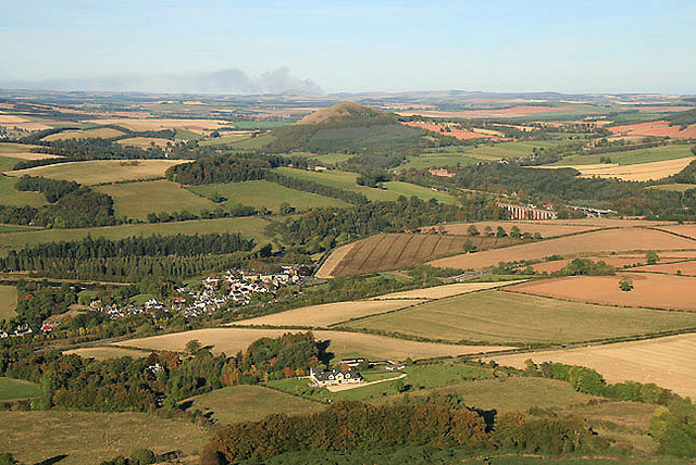
Trimontium (Newstead)

Trimontium was a Roman fort complex in Scotland. It is located at Newstead, near Melrose, in the Scottish Borders, in view of the three Eildon Hills which...
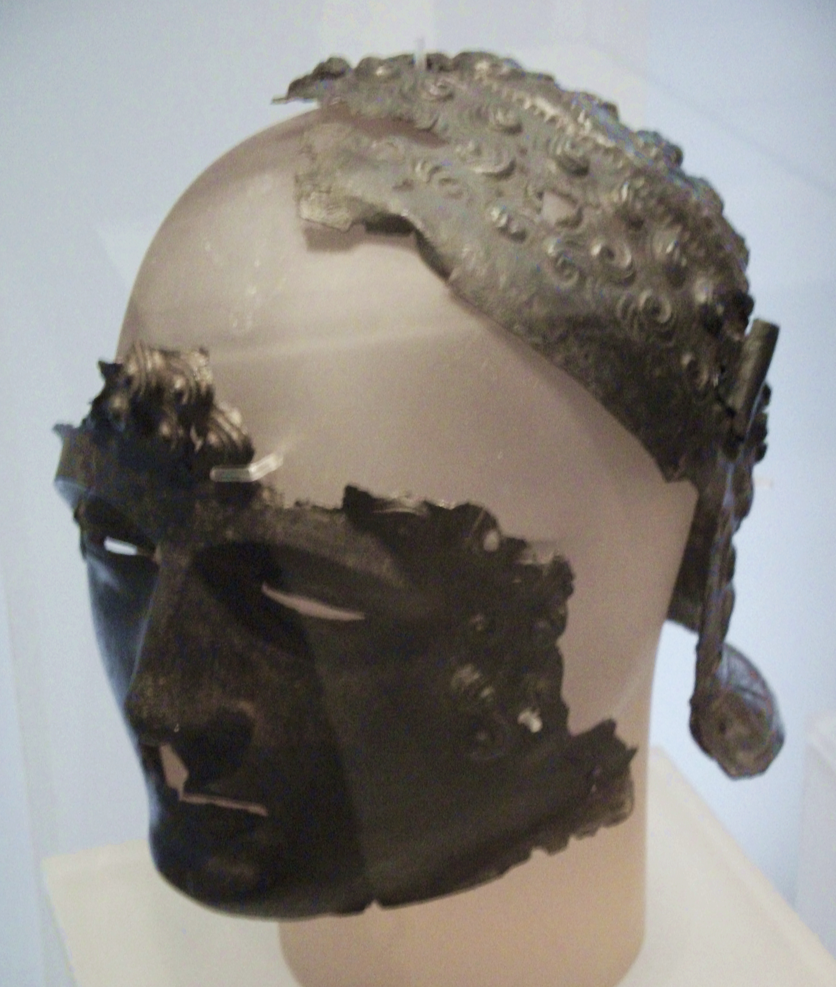
Newstead Helmet

The Newstead Helmet is an iron Roman cavalry helmet dating to 80–100 AD that was discovered at the site of a Roman fort in Newstead, near Melrose in Roxburghshire...

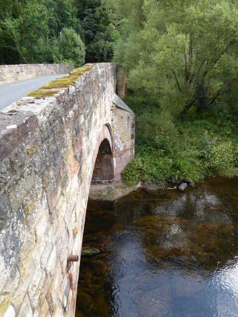
Newstead railway station (Scotland)

Newstead railway station or Bradshaw railway station, as it was referred to in early editions of the timetable, served the village of Newstead, Melrose...

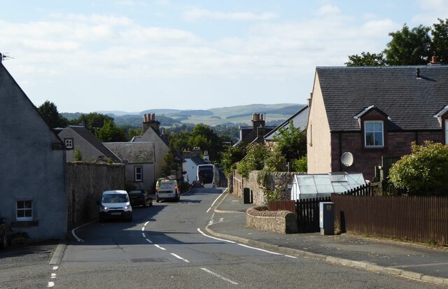
Newstead, Scottish Borders

Newstead is a village in the Scottish Borders, about 1+1⁄4 miles (2 kilometres) east of Melrose. It has a population of approximately 260, according to...

Nearby Amenities

Located within 500m of 55.603059,-2.6885491
Bus Stop
Rushbank
Bench: no
Bus: yes
Departures Board: no
Lit: no
Local Ref: nr
Naptan AtcoCode: 6900670
Naptan Bearing: E
Naptan CommonName: Rushbank
Naptan Indicator: nr
Naptan Landmark: Rushbank
Naptan NaptanCode: 72723826
Naptan Street: Main Street
Naptan Verified: yes
Public Transport: platform
Ref: 6900670
Shelter: no
Source: local knowledge;survey;NaPTAN
Lat/Long: 55.5997442/-2.692157
Bus Stop
Rushbank
Bench: yes
Bus: yes
Departures Board: yes
Lit: no
Local Ref: opp
Naptan AtcoCode: 6900671
Naptan Bearing: W
Naptan CommonName: Rushbank
Naptan Indicator: opp
Naptan Landmark: Rushbank
Naptan NaptanCode: 72723825
Naptan Street: Main Street
Naptan Verified: yes
Public Transport: platform
Ref: 6900671
Shelter: yes
Source: local knowledge;survey;NaPTAN
Lat/Long: 55.5996722/-2.6917762
Noexit: yes
Lat/Long: 55.6000538/-2.6926501
Bus: yes
Bus Bay: left
Public Transport: stop_position
Lat/Long: 55.5997068/-2.691965
Newstead
Historic Railway: station
Operator: North British Railway
Railway: site
Lat/Long: 55.5988309/-2.6910829
Fixme: continue
Lat/Long: 55.6023011/-2.6951124
Generator Method: photovoltaic
Generator Output Electricity: yes
Generator Source: solar
Generator Type: solar_photovoltaic_panel
Power: generator
Lat/Long: 55.6000961/-2.6917389
Power: pole
Lat/Long: 55.6010057/-2.6928206
Power: pole
Lat/Long: 55.6013752/-2.6936096
Power: pole
Lat/Long: 55.601588/-2.6948567
Power: pole
Lat/Long: 55.6017836/-2.6961241
Playground: swing
Lat/Long: 55.6018629/-2.6958824
The data included in this document is from www.openstreetmap.org. The data is made available under ODbL.

Have you been to The Bullers?

Leave your review of The Bullers below (or comments, questions and feedback).