Abbeystead Reservoir

Lake, Pool, Pond, Freshwater Marsh in Lancashire Lancaster

England

Abbeystead Reservoir

Farmyard at Lower Caw House Farm Beside Trough Road.
Farmyard at Lower Caw House Farm Credit: Oliver Dixon

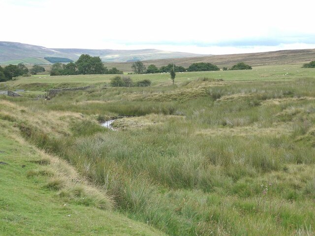
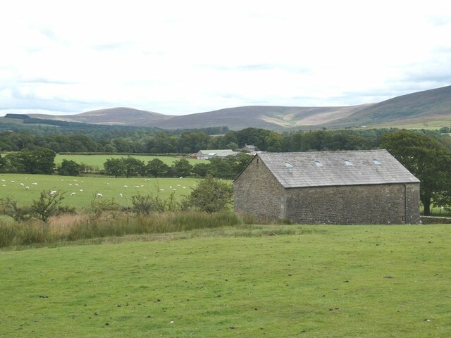
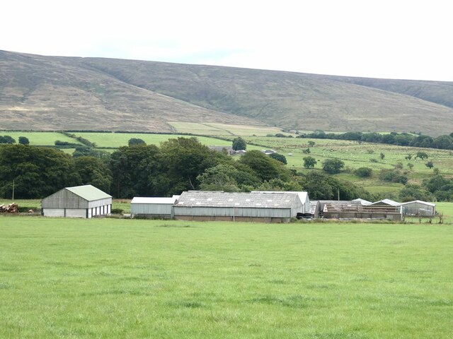
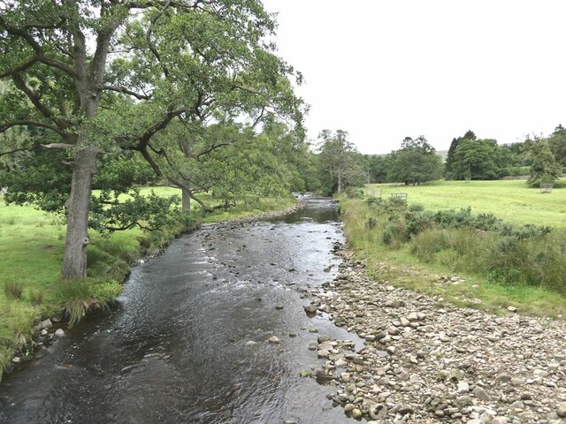
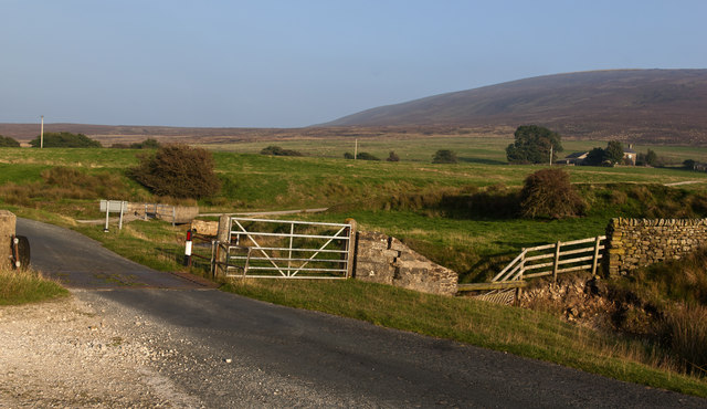
Abbeystead Reservoir is a picturesque freshwater lake located in the county of Lancashire, England. Situated in the Forest of Bowland, it covers an area of approximately 90 acres and serves as a vital water source for the surrounding areas. The reservoir was constructed in 1855 as part of a water supply scheme for Lancaster and Morecambe.

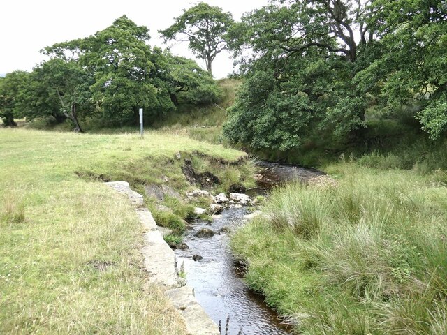
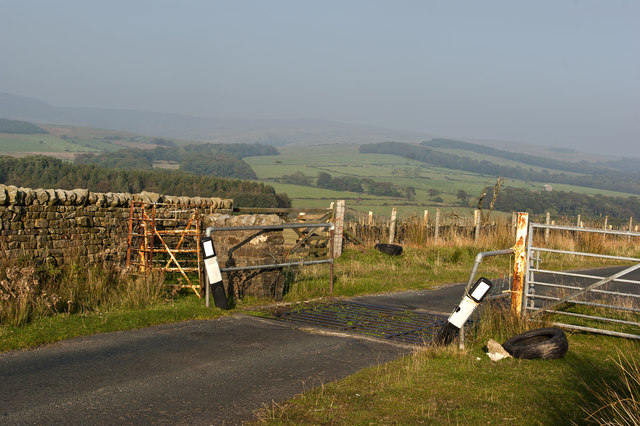
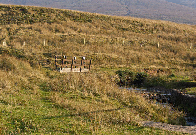
Surrounded by rolling hills and verdant greenery, Abbeystead Reservoir boasts stunning natural beauty. Its calm waters reflect the surrounding landscape, creating a serene and tranquil atmosphere. The reservoir is fed by several small streams and springs, ensuring a constant flow of fresh water.

The abundant vegetation around the reservoir includes reeds, grasses, and shrubs, providing a thriving habitat for numerous species of birds, insects, and small mammals. It is not uncommon to spot waterfowl such as ducks, geese, and swans gracefully gliding across the surface of the reservoir.

Abbeystead Reservoir also serves as a popular recreational spot for locals and visitors alike. Fishing enthusiasts can indulge in their favorite pastime, as the reservoir is home to a variety of fish species including trout and perch. Boating and sailing activities are permitted on the reservoir, allowing visitors to explore its scenic surroundings from a different perspective.

Overall, Abbeystead Reservoir offers a harmonious blend of natural beauty and practicality. Its idyllic setting and diverse ecosystem make it a cherished destination for nature lovers and a crucial resource for the local community.

If you have any feedback on the listing, please let us know in the comments section below.

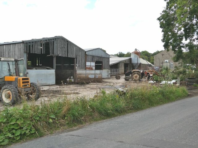
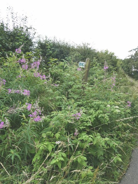
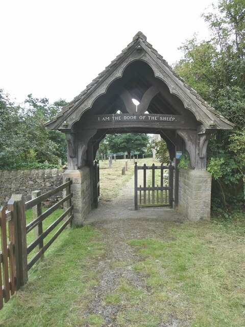
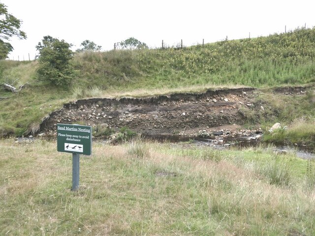
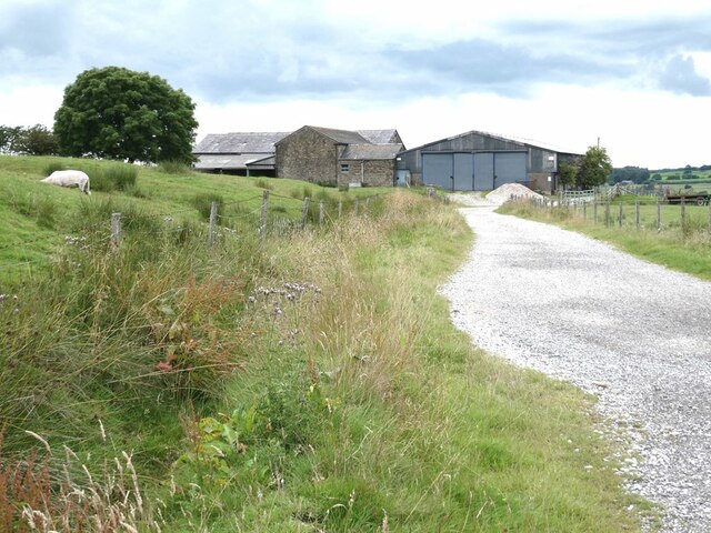
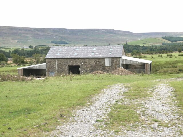
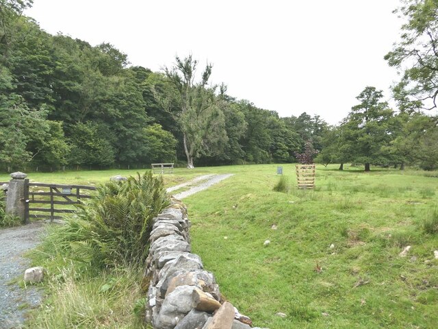
Abbeystead Reservoir Images

Images are sourced within 2km of 53.980346/-2.673778 or Grid Reference SD5554. Thanks to Geograph Open Source API. All images are credited.

Farmyard at Lower Caw House Farm Beside Trough Road.
Farmyard at Lower Caw House Farm
Beside Trough Road.
Lost footpath Right from the go, the footpath to Lentworth Hall Farm looks like a non-starter.
Lost footpath
Right from the go, the footpath to Lentworth Hall Farm looks like a non-starter.
Meanders on Catshaw Greave The fells on the far side of Wyresdale on the skyline.
Meanders on Catshaw Greave
The fells on the far side of Wyresdale on the skyline.
Lychgate to Christ Church, Upper Wyresdale Over the gate, the cryptic saying of Our Lord "I am the door of the sheep" (St John's Gospel, chapter 10, verse 7).
Lychgate to Christ Church, Upper Wyresdale
Over the gate, the cryptic saying of Our Lord "I am the door of the sheep" (St John's Gospel, chapter 10, verse 7).
Barn below Christ Church, Upper Wyresdale Further away, Far House Barn Farm. The fells at the head of Wyresdale on the skyline.
Barn below Christ Church, Upper Wyresdale
Further away, Far House Barn Farm. The fells at the head of Wyresdale on the skyline.
Upper Wyresdale War Memorial By the entrance to Christ Church. The main column bears the names of those killed in World War 1, with those from World War 2 added at the base.
Upper Wyresdale War Memorial
By the entrance to Christ Church. The main column bears the names of those killed in World War 1, with those from World War 2 added at the base.
Upper Wyresdale War Memorial (detail) By the entrance to Christ Church. The main column bears the names of those killed in World War 1, with those from World War 2 added at the base. Around the base are painted pebbles bearing the names of the dead - although there doesn't seem to be complete correspondence with those named on the memorial.
Upper Wyresdale War Memorial (detail)
By the entrance to Christ Church. The main column bears the names of those killed in World War 1, with those from World War 2 added at the base. Around the base are painted pebbles bearing the names of the dead - although there doesn't seem to be complete correspondence with those named on the memorial.
Far House Barn Farm The fells of the southern part of the Forest of Bowland on the skyline.
Far House Barn Farm
The fells of the southern part of the Forest of Bowland on the skyline.
Cam Brook Tributary of the River Wyre.
Cam Brook
Tributary of the River Wyre.
Sand Martin nesting site In a bank eroded by the Cam Brook. Not that any birds were nesting in August!
Sand Martin nesting site
In a bank eroded by the Cam Brook. Not that any birds were nesting in August!
Cluster of barns New Hawthornthwaite Farm.
Cluster of barns
New Hawthornthwaite Farm.
Barn near Hawthornthwaite Farm The fells of the northern part of the Forest of Bowland on the skyline.
Barn near Hawthornthwaite Farm
The fells of the northern part of the Forest of Bowland on the skyline.
Estate road at Abbeystead
River Tarnbrook Wyre Looking upstream. A short way upstream from its confluence with the Marshaw Wyre.
River Tarnbrook Wyre
Looking upstream. A short way upstream from its confluence with the Marshaw Wyre.
Cattle grid On a day like today it wouldn't take too much poetic licence to refer to the mist as heat haze
Cattle grid
On a day like today it wouldn't take too much poetic licence to refer to the mist as heat haze
Looking across the moor towards Hawthornthwaite
A footbridge over a tributary to Cam Brook
A cattle grid The farm on the right is Fellside, in the next square
A cattle grid
The farm on the right is Fellside, in the next square
Show me another place!

Abbeystead Reservoir is located at Grid Ref: SD5554 (Lat: 53.980346, Lng: -2.673778)

Administrative County: Lancashire

District: Lancaster

Police Authority: Lancashire

What 3 Words

///collide.pampered.unravel. Near Bay Horse, Lancashire

Related Wikis

Wyresdale Abbey

Wyresdale Abbey was a short-lived medieval monastic house in Over Wyresdale, Lancashire, England. It was founded around 1170 or a little later and ceased...

Abbeystead disaster

The Abbeystead disaster occurred on the evening of 23 May 1984 when a methane gas explosion destroyed a waterworks' valve house at Abbeystead, Lancashire...

Abbeystead

Abbeystead is a small hamlet located in the Forest of Bowland Area of Outstanding Natural Beauty, in Lancashire, England. Abbeystead lies close to the...

Over Wyresdale

Over Wyresdale is a civil parish and a parish of the Church of England in the City of Lancaster in the English county of Lancashire. It has a population...

Nearby Amenities

Located within 500m of 53.980346,-2.673778
Abbeystead
Is In: Lancaster, Lancashire, England, UK
Place: hamlet
Source: npe
Wikidata: Q306453
Lat/Long: 53.9828203/-2.6695077
Post Box
Collection Times: Mo-Fr 09:00, Sa 07:00
Fixme: has this been moved?
Post Box Type: lamp
Lat/Long: 53.9825869/-2.671095
Defibrillator
Booth: K6
Covered: booth
Defibrillator Location: inside old red telephone box in Abbeystead
Disused Amenity: telephone
Emergency: defibrillator
Indoor: yes
Listed Status: Grade II
Man Made: telephone_box
Lat/Long: 53.9826471/-2.6709372
Bus Stop
Cawthornes Endowed School
Bench: no
Naptan AtcoCode: 2500LAA00013
Naptan Bearing: SW
Naptan CommonName: Cawthornes Endowed School
Naptan Indicator: by
Naptan Landmark: Abbeystead School
Naptan LocalityCode: E0015932
Naptan NaptanCode: langtdgj
Naptan Street: The Rake
Naptan Verified: yes
Physically Present: no
Public Transport: platform
Ref: langtdgj
Shelter: no
Lat/Long: 53.9828719/-2.6698805
Bus Stop
Cawthornes Endowed School
Bench: no
Naptan AtcoCode: 2500LA00459
Naptan Bearing: NE
Naptan CommonName: Cawthornes Endowed School
Naptan Indicator: opp
Naptan Landmark: ABBEYSTEAD SCHOOL
Naptan LocalityCode: E0015932
Naptan NaptanCode: langtada
Naptan Street: The Rake
Naptan Verified: yes
Physically Present: no
Public Transport: platform
Ref: langtada
Shelter: no
Lat/Long: 53.9829391/-2.6699618
Noexit: yes
Lat/Long: 53.9829544/-2.6687569
Entrance: main
Lat/Long: 53.9829342/-2.669017
Barrier: stile
Lat/Long: 53.9788744/-2.6791215
Barrier: cattle_grid
Lat/Long: 53.9812688/-2.6761597
Barrier: cattle_grid
Lat/Long: 53.9797569/-2.6761284
Barrier: cattle_grid
Lat/Long: 53.9824336/-2.6764904
Ford: yes
Lat/Long: 53.9819493/-2.6763025
Power: pole
Lat/Long: 53.982381/-2.6763099
Man Made: monitoring_station
Monitoring Water Level: yes
Lat/Long: 53.9790669/-2.6770027
Man Made: manhole
Manhole: yes
Lat/Long: 53.9791941/-2.6774211
Man Made: street_cabinet
Lat/Long: 53.9790471/-2.6783008
Barrier: stile
Material: stone
Stile: stepover
Lat/Long: 53.9787455/-2.6791877
Power: pole
Lat/Long: 53.9787767/-2.6794687
Man Made: manhole
Manhole: water
Lat/Long: 53.9787909/-2.6794868
Advertising: board
Lat/Long: 53.9827898/-2.6702016
The data included in this document is from www.openstreetmap.org. The data is made available under ODbL.

Have you been to Abbeystead Reservoir?

Leave your review of Abbeystead Reservoir below (or comments, questions and feedback).